Part of Belgium
East Belgium is the German-speaking part of Belgium, bordering Germany and Luxembourg. The north is the land of the High Fens, the south the Belgian Eifel around Sankt Vith. An ideal base for exploring both Germany, the Netherlands and Belgium. Or how about the beautiful Vennbahn railways, once nominated for the bike route of the year?
Why cycle in Ostbelgien?
- The High Fens, with Signal de Botrange (694 meters, the highest point in Belgium) nearby.
- The Vennbahn: an old railway line from Aachen to Luxembourg, now a cycling path of about 125 kilometers with gentle slopes.
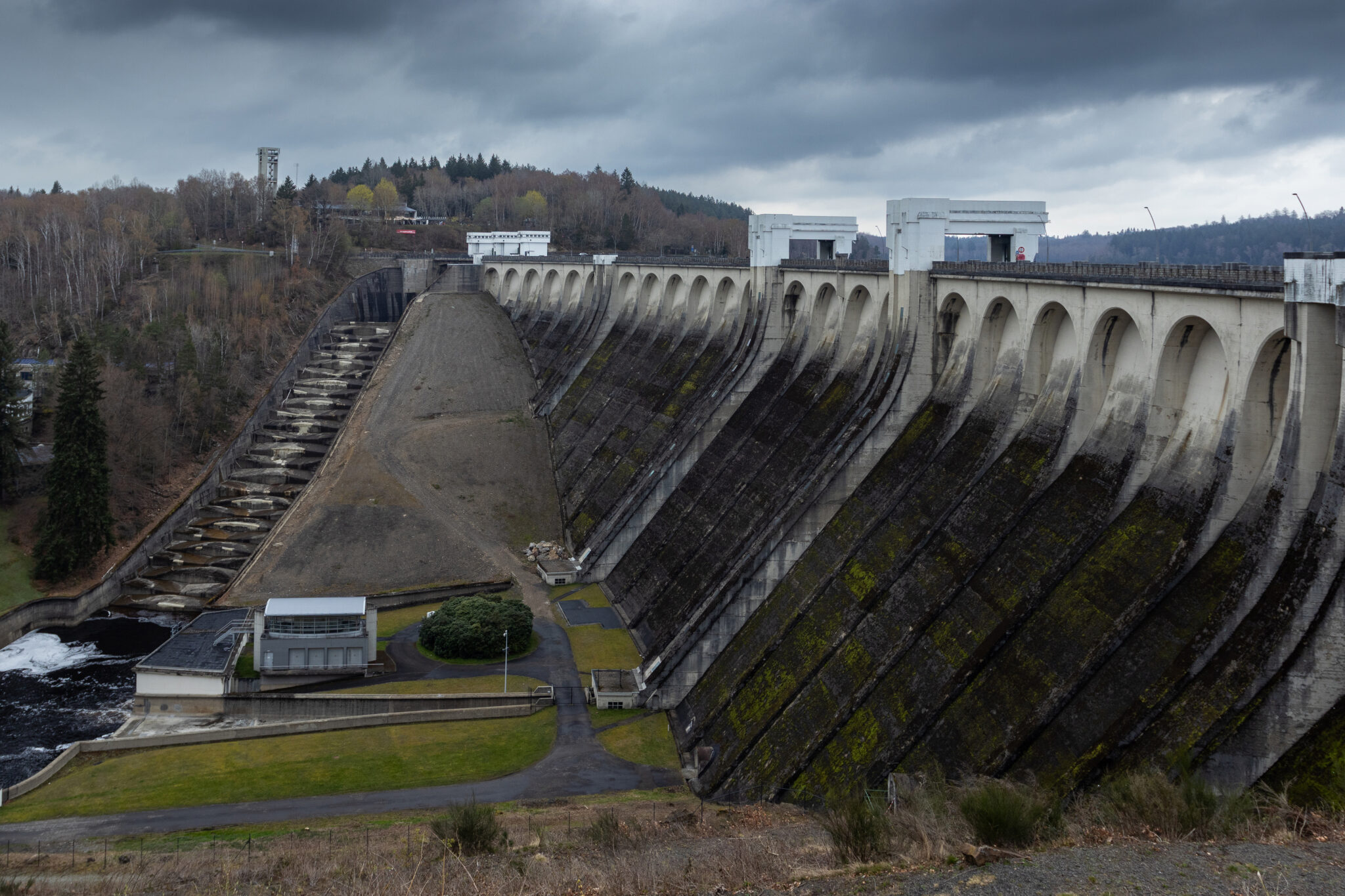
- Quiet roads and lakes, such as the Bütgenbach dam, and easy to cross the border into the Eifel.
Race bikes in East Belgium
East Belgium is located in the corner between Belgium, Germany, Luxembourg and the Netherlands. In a 60-kilometer ride you already pass through three countries. You will find quiet roads, a mix of flat and hilly rides, and the steep slopes that are familiar from the Liège-Bastogne-Liège race.
- The valley of the Our near Burg-Reuland, in the far south facing Luxembourg and Germany.
- The tripoint around Sankt Vith, in the Eifel and the Ardennes.
- The hills around Malmedy and the Côtes of the classic: Wanne, Stockeu and Rosier.
- The High Valley, the plateau between Eupen and Malmedy.
- The hedgerow landscapes of the Eupen Land, and Kelmis at the tripoint with the Netherlands.
There are many cycling-friendly addresses to be found in the region.
The Vennbahn
The Vennbahn is one of the longest cycle paths over an old railway line in Europe: 125 kilometers from Aachen to Troisvierges in Luxembourg, through three countries. It is fully paved and doesn’t have any steep sections, so it’s also great for a relaxing day or with a gravel bike. The route is divided into six stages, for example Aachen – Raeren (22 km) and Raeren – Monschau (26 km). There are about fifty bed+bike addresses along the route. More information on ostbelgien.eu/vennbahn.
Routes from Ostbelgien
East Belgium has a route planner with race bike, gravel and mountain bike routes and GPX downloads: Cycling in East Belgium. The three rides on this page come from there.
Our routes in East Belgium
Five long routes that we did ourselves: a three-day tour across all of Ostbelgien, a gravel round along eleven lakes and a section of the Vennbahn.
Route collection · Race bike · Gravel
Race bikes in East Belgium
- 5routes
- 58–143km per ride
- 2.296max. altitude meters
- 571km in total
- 1
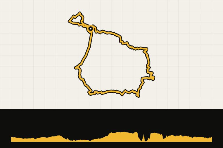
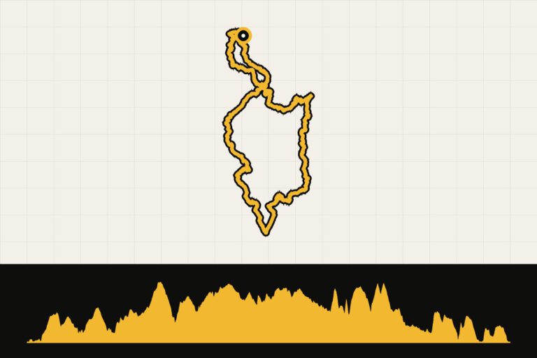
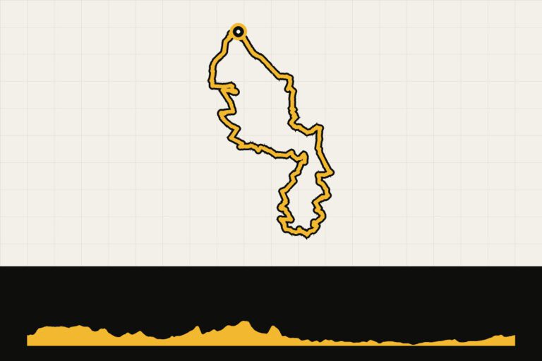
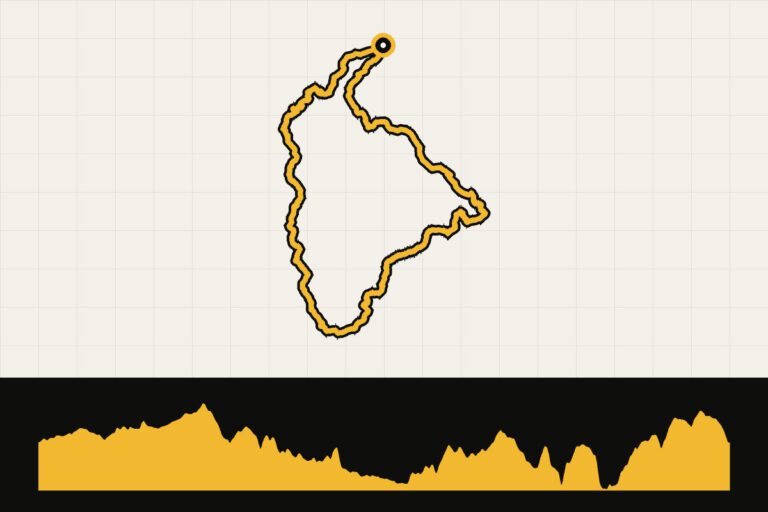 Route 1 · 129 km · 1,652 hmEast Belgium in three days: day 1, the EifelDay 1: through the border region of the Eifel.Map, profile & GPX of route 1 →
- 2
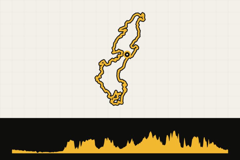
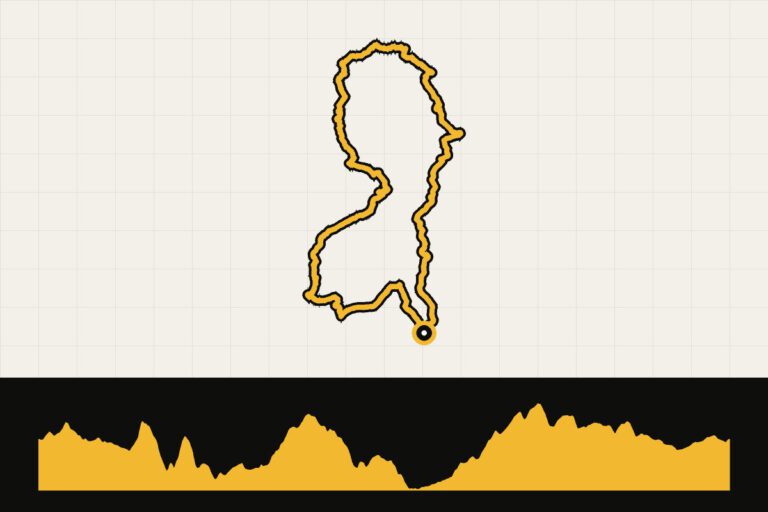 Route 2 · 134.2 km · 1,904 hmEastern Belgium in three days: day 2, Sankt Vith to EupenDay 2: From Sankt Vith over the High Fens to Eupen.Map, profile & GPX of route 2 →
- 3
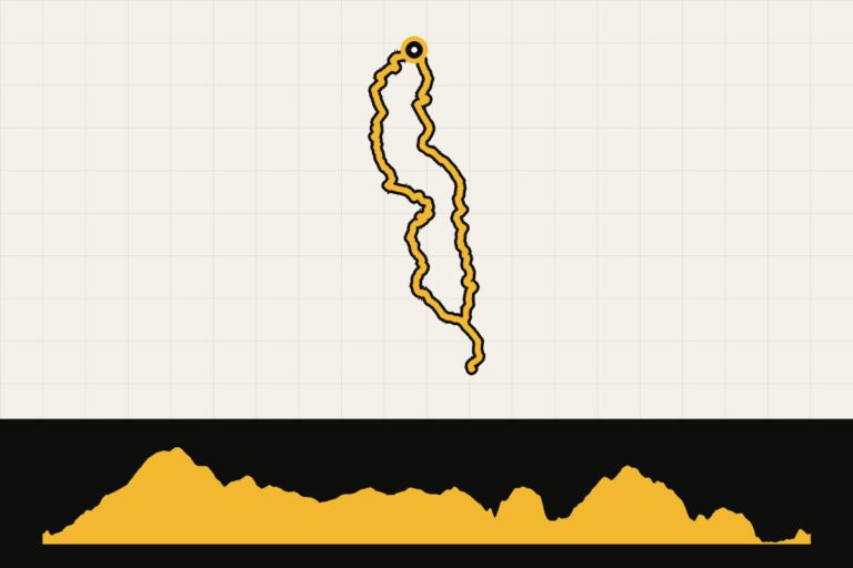 Route 3 · 107.3 km · 1,434 hmEastern Belgium in three days: day 3, the High FensDay 3: over the roof of Belgium.Map, profile & GPX of route 3 →
- 4
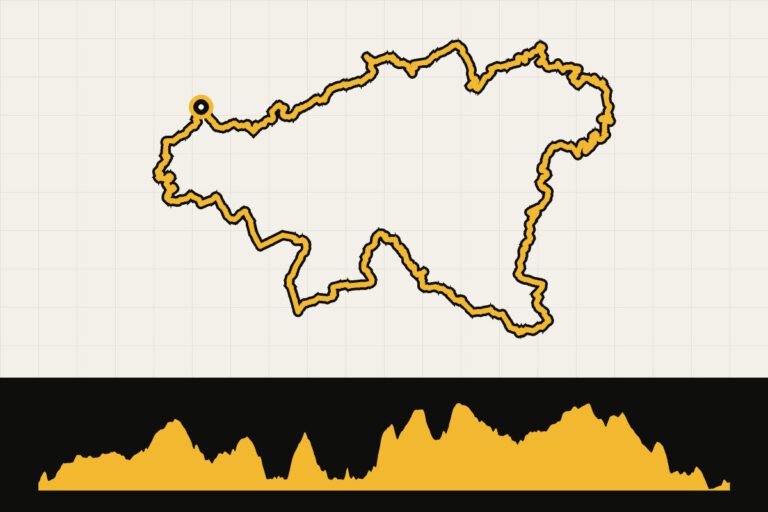 Route 4 · 142.6 km · 2,296 hmEast Belgium: gravel round along eleven lakesLong gravel round along eleven dams.Map, profile & GPX of route 4 →
- 5
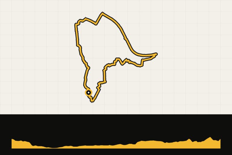
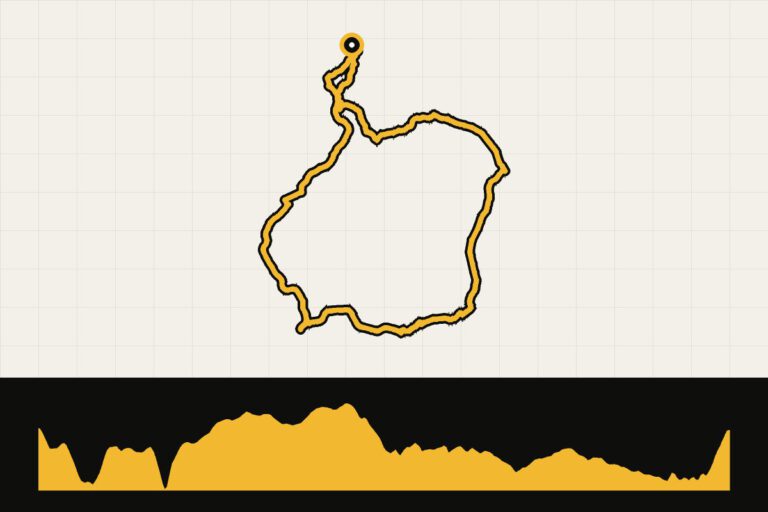 Route 5 · 57.5 km · 614 hmEast Belgium: Vennbahn from MonschauOver the Vennbahn through the High Fens.Map, profile & GPX of route 5 →
Your Cycling base
East Belgium is small and easy to explore from one place:
- Eupen: in the north, on the edge of the High Fens and at the beginning of the Vennbahn.
- Sankt Vith: in the south, along the Vennbahn and with quiet hills towards Luxembourg.
- Bütgenbach or Robertville: on the lakes, right in the middle of the area.
- MalmedyJust across the language border, before the climb out of Luik-Bastenaken-Luik.
When are you leaving?
From April to October. It is often colder and wetter on the plateau than in the valleys.
How do you get there?
From Maastricht or Aachen, you can get there by car in an hour. By train, you travel to Eupen.
Sources
- Ostbelgien Tourism – routes via outdooractive
This is how we calculate: We calculate distances and travel times starting from Utrecht. Our flights always depart from Schiphol, Rotterdam The Hague Airport or Eindhoven Airport. Want to know how to travel from your place of residence the best way? Let us know, We are happy to help you. After all, we built this site together.
Are you flying? Read our guide Flying with your bike: Which airline, what the cost is and how to pack your bike.
Events in Eastern Belgium
2027Rando de Geromont GravelGeromont, Belgium · 50 kmgravel18 April
2027Randonée Club Cycliste Baelenois GravelBaelen, Belgium · 60, 40 kmgravel2 July
2027Ardenne Gravel StagesVielsalm, Belgium · 230 kmgravel3 July
2027Dusty Gravel GouvyGouvy, Belgium · 111, 72 kmgravel14 Aug
2027Dusty Gravel La GileppeLa Gileppe, Belgium · 110, 69 kmgravel29 August
20272026 UEC European Gravel ChampionshipsHouffalize, Belgium · 141, 94 kmgravel29 August
2027UEC Gravel European ChampionshipsHouffalize, Belgiumgravel3 September
20273RIDES Ostbelgien Gravel Stage RaceEupen, Belgium · 305, 190 kmgravel