Part of Netherlands
The province of Utrecht is small, but lies right in the middle of the country. That makes it an ideal place for a day trip or a weekend without a long journey. In the east lies the Utrechtse Heuvelrug, in the west the polders, and in between the Kromme Rijn and the Vecht.
Why cycle in Utrecht?
- The Utrecht Hills: forest, meadow and the Amerongse Berg.
- The Crooked Rhine: orchards and winding canal paths.
- The Vecht Valley and the Loosdrecht Lakes: country houses and water.
- The Lopikerwaard and the Groene Hart: narrow, traffic-free polder roads.
The Heuvelrug: between Utrecht and Amersfoort
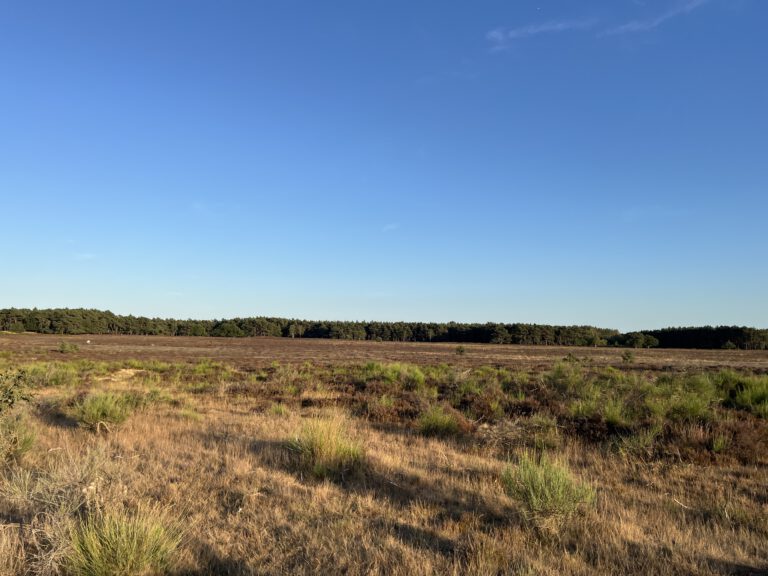
The most sporting part of the province is the Utrecht Hills, ‘an oasis of peace just outside the Randstad’. Nine municipalities work together under Op de Heuvelrug: Baarn, Renswoude, Rhenen, Scherpenzeel, Soest, Utrechtse Heuvelrug, Veenendaal, Woudenberg and Zeist. You’ll find routes for the road bike, mountain bike and e-bike, and Tourist Transfer Points where you can leave the car and pick up the bike. All about it on our page about Utrecht's Heuvelrug.
Our routes from Utrecht
Utrecht is our home base, so we have a large number of routes there:
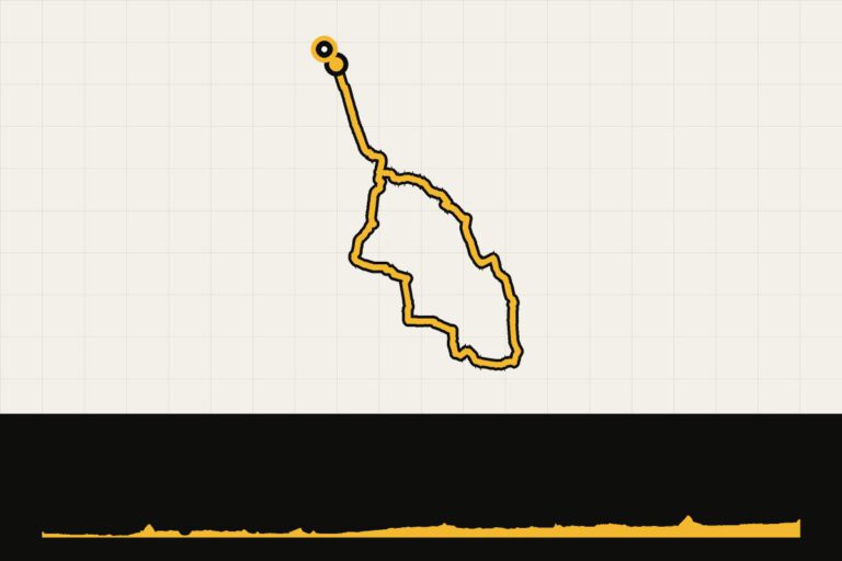
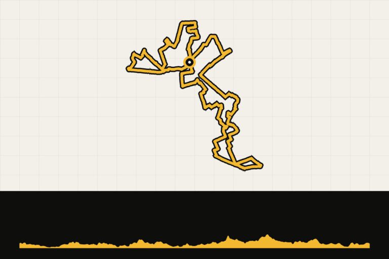
- Heuvelrug Highlights and Sunday Ride Heuvelrug: The Heuvelrug on the bicycle.
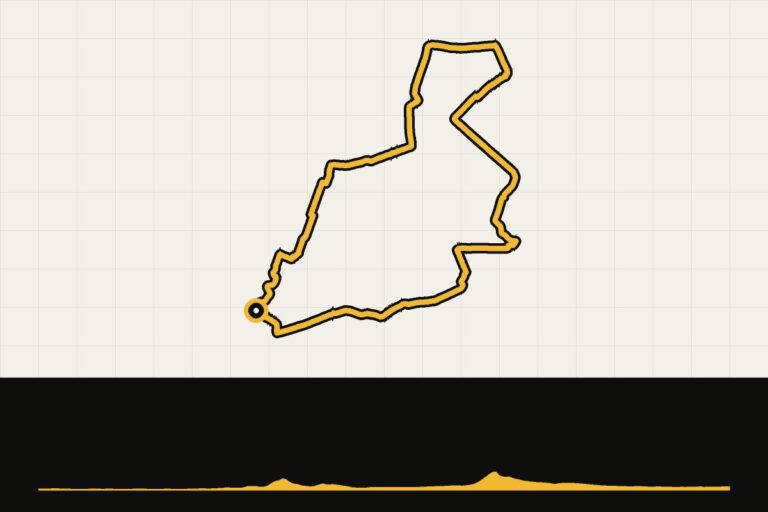
- Vecht, Loosdrecht and Lage Vuursche: country estates and water.
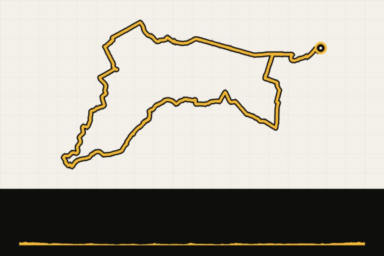
- Amersfoort Highlights and Rainbow Cycle Path.
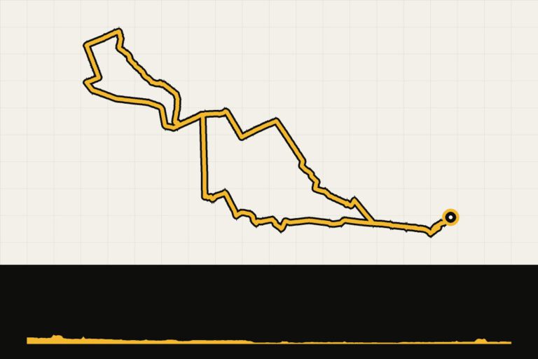
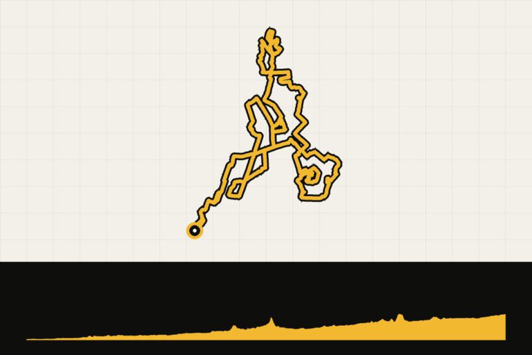
- Utrecht – 80 km of nice gravel: the gravel variant.
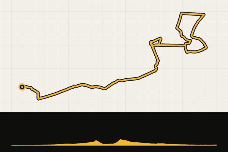
- Favorite route in Utrecht: short and straight, for after work.
When are you leaving?
All year round. In April, the fruit trees along the Kromme Rijn bloom.
How do you get there?
By train to Utrecht Central Station, Driebergen-Zeist or Rhenen: you can be anywhere in the country within an hour.
This is how we calculate: We calculate distances and travel times starting from Utrecht. Our flights always depart from Schiphol, Rotterdam The Hague Airport or Eindhoven Airport. Want to know how to travel from your place of residence the best way? Let us know, We are happy to help you. After all, we built this site together.
Are you flying? Read our guide Flying with your bike: Which airline, what the cost is and how to pack your bike.
Events in Utrecht
2026Gravel race Omloop van GeffenGiffen, Netherlands · 70 kmgravel25 Oct
2026Autumn trip of BatauwersTiel, Netherlands · 80 kmrace bike31 Oct
2026Klinker Classic GravelNijkerk, Netherlands · 60, 50 kmgravel31 Oct
2026Hiking tourStroe, Nederland · 85, 64 kmgravel7 November
2026VOEK Autumn ClassicNijkerk, Netherlands · 105, 80, 60 kmgravel7 November
2026VOEK Autumn Classic (race bike)Nijkerk, Netherlands · 110, 80, 60 kmrace bike28 Nov
2026Gooische Strade Bianche XVSoest, Netherlands · 90, 60 kmgravel12 Dec
2026Oliebollentocht GravelStroe, Netherlands · 90, 70 kmgravel
Areas