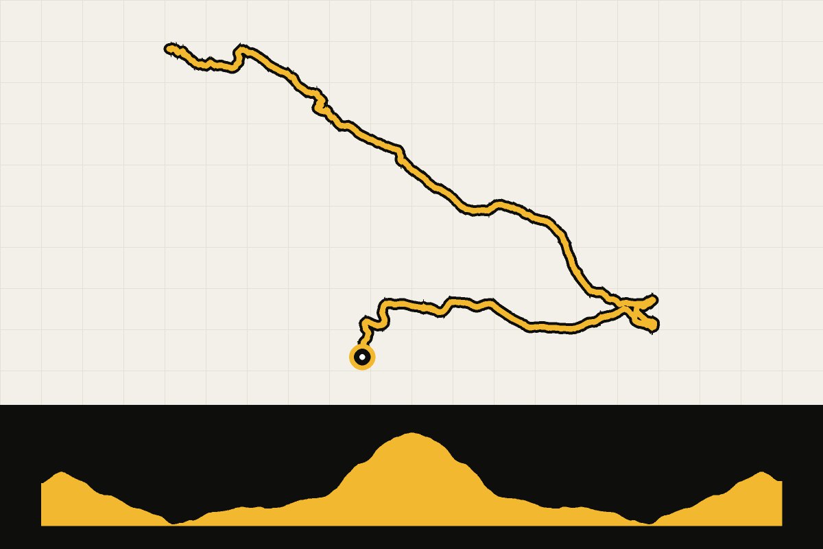
Map & elevation profile
Font-Romeu: naar het Lac des Bouillouses GPX
no elevation data
| name: | no data |
| distance: | no data |
| minimum elevation: | no data |
| maximum elevation: | no data |
| elevation gain: | no data |
| elevation loss: | no data |
| duration: | no data |
Submitted by Thomas Bogaard, A cyclist from our community
Een korte, mooie klim naar het Lac des Bouillouses, een stuwmeer op 2.000 meter hoogte tussen de bergtoppen boven Font-Romeu. Je klimt via Mont-Louis door het bos naar het meer en rijdt dezelfde weg terug. In de zomer is de weg overdag vaak dicht voor auto's en rijden er pendelbussen: met de fiets mag je er wel door, en dan heb je de weg bijna voor jezelf. Boven kun je koffie drinken bij het meer.