Map & elevation profile
Harz: gravel vanuit Benneckenstein (dag 1) GPX
no elevation data
| name: | no data |
| distance: | no data |
| minimum elevation: | no data |
| maximum elevation: | no data |
| elevation gain: | no data |
| elevation loss: | no data |
| duration: | no data |
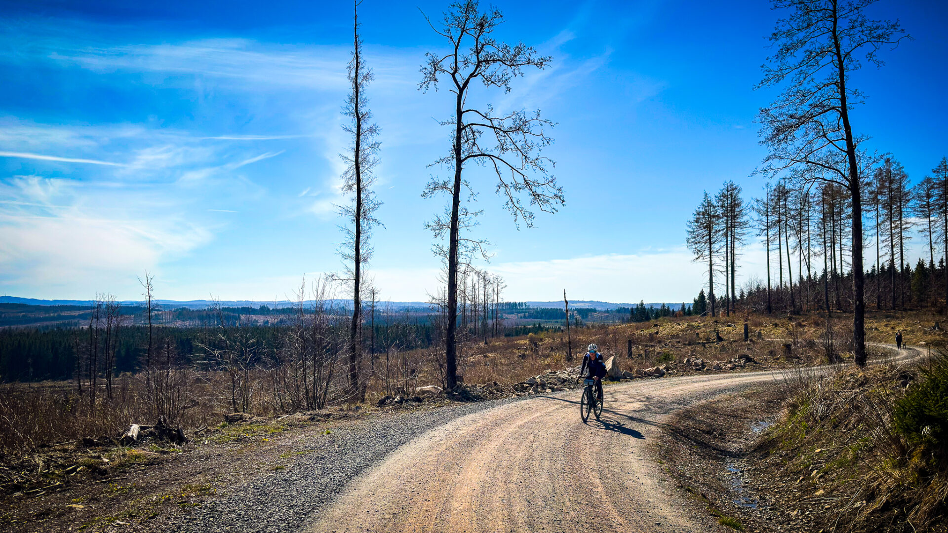
Dag 1 van onze vier gravel dagen in de Harz: vanuit Benneckenstein door de bossen van de Hochharz.
Read the full story: Four days of gravel in the Harz: this is what you want too.