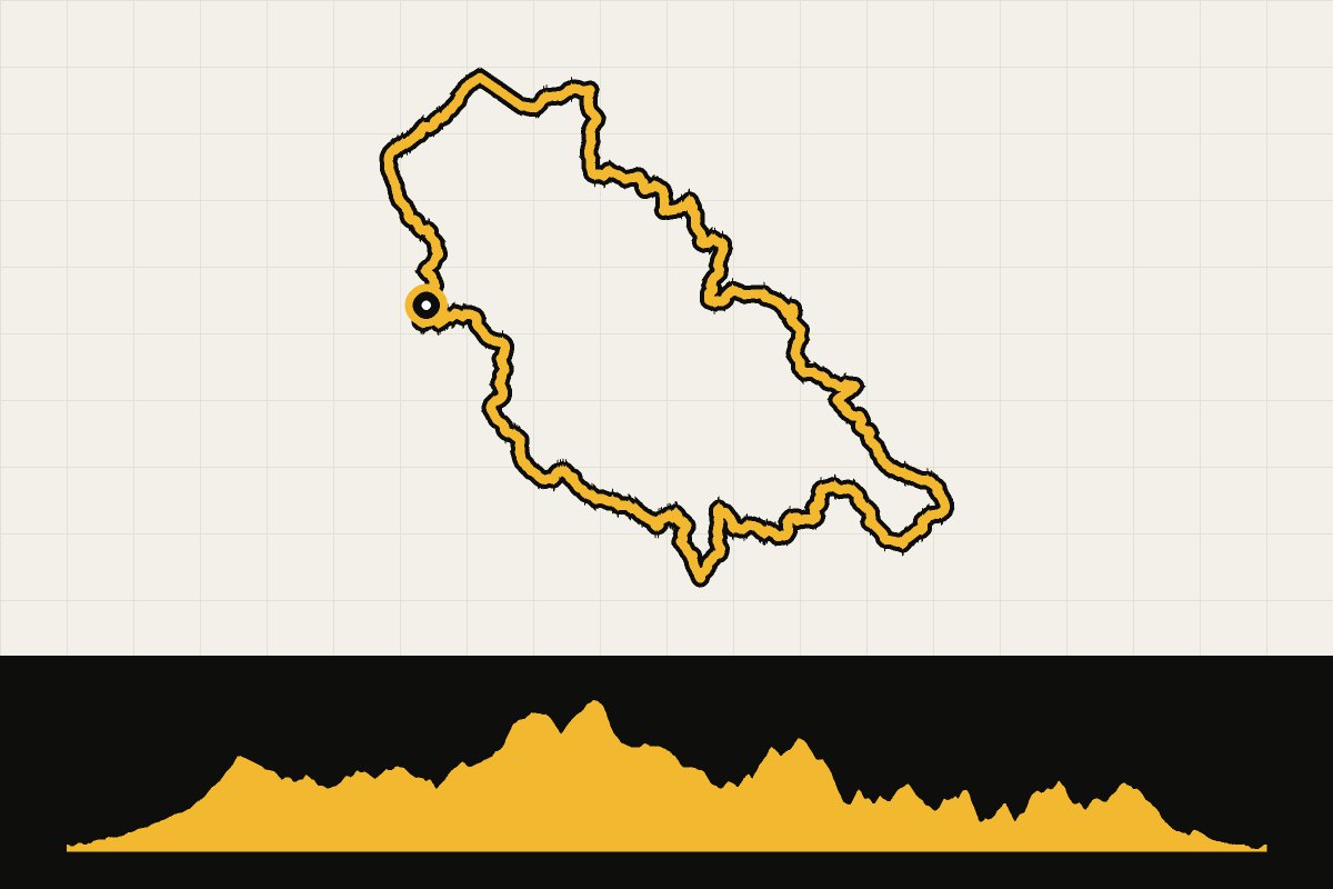
Map & elevation profile
Landal Arber dag 2: Nationaal Park Beierse Woud en Tsjechië GPX
no elevation data
| name: | no data |
| distance: | no data |
| minimum elevation: | no data |
| maximum elevation: | no data |
| elevation gain: | no data |
| elevation loss: | no data |
| duration: | no data |
Dag 2 is de lange: door het Nationaal Park Beierse Woud, langs de Schwarzer Regen en over de grens naar Tsjechië. Meer dan 150 kilometer en ruim 2.200 hoogtemeters, door een van de grootste bosgebieden van Midden-Europa.