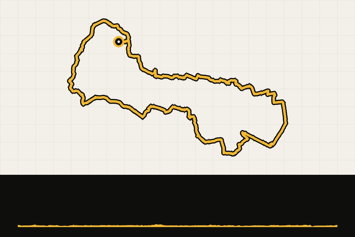
Map & elevation profile
Landal Suyderoogh: rit naar Zoutkamp GPX
no elevation data
| name: | no data |
| distance: | no data |
| minimum elevation: | no data |
| maximum elevation: | no data |
| elevation gain: | no data |
| elevation loss: | no data |
| duration: | no data |
Een lange, vlakke rit vanuit Lauwersoog door het Groningse Hogeland, met het vissersdorp Zoutkamp aan het Reitdiep onderweg. Wierden, kerkjes en eindeloze akkers: ruim 110 kilometer rust en ruimte, en wind.