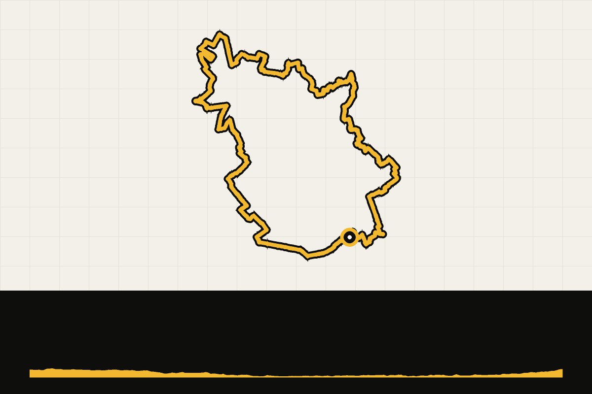
Map & elevation profile
Operatie Fazant: Overloon GPX
no elevation data
| name: | no data |
| distance: | no data |
| minimum elevation: | no data |
| maximum elevation: | no data |
| elevation gain: | no data |
| elevation loss: | no data |
| duration: | no data |
Een gravelroute vanuit Overloon, waar in oktober 1944 een van de zwaarste tankslagen in Nederland werd uitgevochten. Door de bossen en over de heide van de Peel, met het Oorlogsmuseum als start en finish.