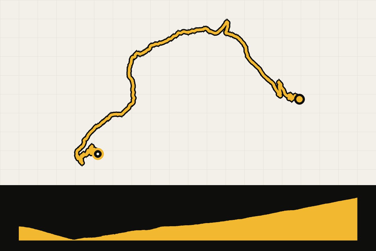
Map & elevation profile
Port d’Envalira from Escaldes-Engordany GPX
no elevation data
| name: | no data |
| distance: | no data |
| minimum elevation: | no data |
| maximum elevation: | no data |
| elevation gain: | no data |
| elevation loss: | no data |
| duration: | no data |
The west side of Port d’Envalira, the roof of the Vuelta 2026. According to CyclingCols 25.3 km with 1,301 meters of elevation gain on average 5,1%, up to 2,407 meters. Our GPX starts in the center of Escaldes-Engordany and is therefore slightly longer. The GPX file was calculated with BRouter based on OpenStreetMap map data (© OpenStreetMap contributors); the climb figures in the text come from CyclingCols. Check road closures for departure.
Read the full story: We want to ride these 15 climbs from the 2026 Vuelta ourselves.