Map & elevation profile
The Crown of Pallars GPX
| name: | no data |
| distance: | no data |
| minimum elevation: | no data |
| maximum elevation: | no data |
| elevation gain: | no data |
| elevation loss: | no data |
| duration: | no data |
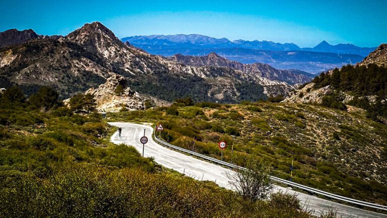
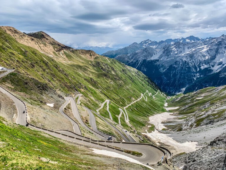
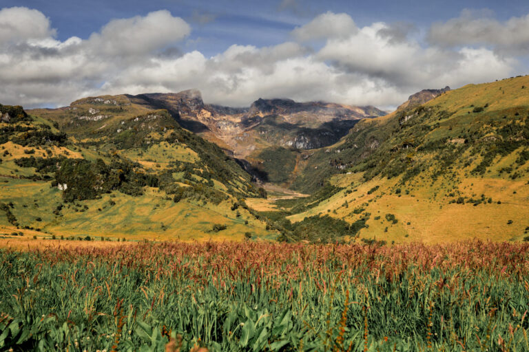
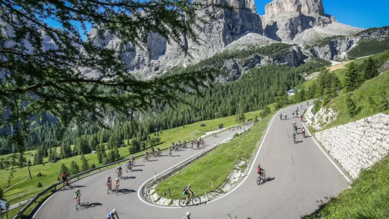
This is a beautiful mountain bike route in Catalonia. This route challenges you to test your endurance on stunning, virtually unknown roads in the Catalan Pyrenees. You will pass by mountain villages that seem to hang against the slopes and visit magical places, such as Lake Montcortès and the Collados ravine.
The numbers speak for themselves: almost 132 kilometers and more than 2500 meters of elevation gain. This route is perfect if you already have quite a few kilometers under your belt and have the necessary cycling experience. In that case, you get the most out of this ride – both in terms of sporting challenge and in terms of scenery.
The route is a circular walk from the train station in La Pobla de Segur. Immediately after leaving, you follow the course of the river Noguera Pallaresa. Instead of entering the tunnels of the Collages gorge, you take the old route via the bypass road. This way you cycle under the cliffs through the gorge and pass the narrow passage at l’Argentería, a limestone wall formed by a spring that is said to have inspired Gaudí’s architecture.