Map & elevation profile
Tour de France 2027, stage 1: Edinburgh – Carlisle GPX
no elevation data
| name: | no data |
| distance: | no data |
| minimum elevation: | no data |
| maximum elevation: | no data |
| elevation gain: | no data |
| elevation loss: | no data |
| duration: | no data |
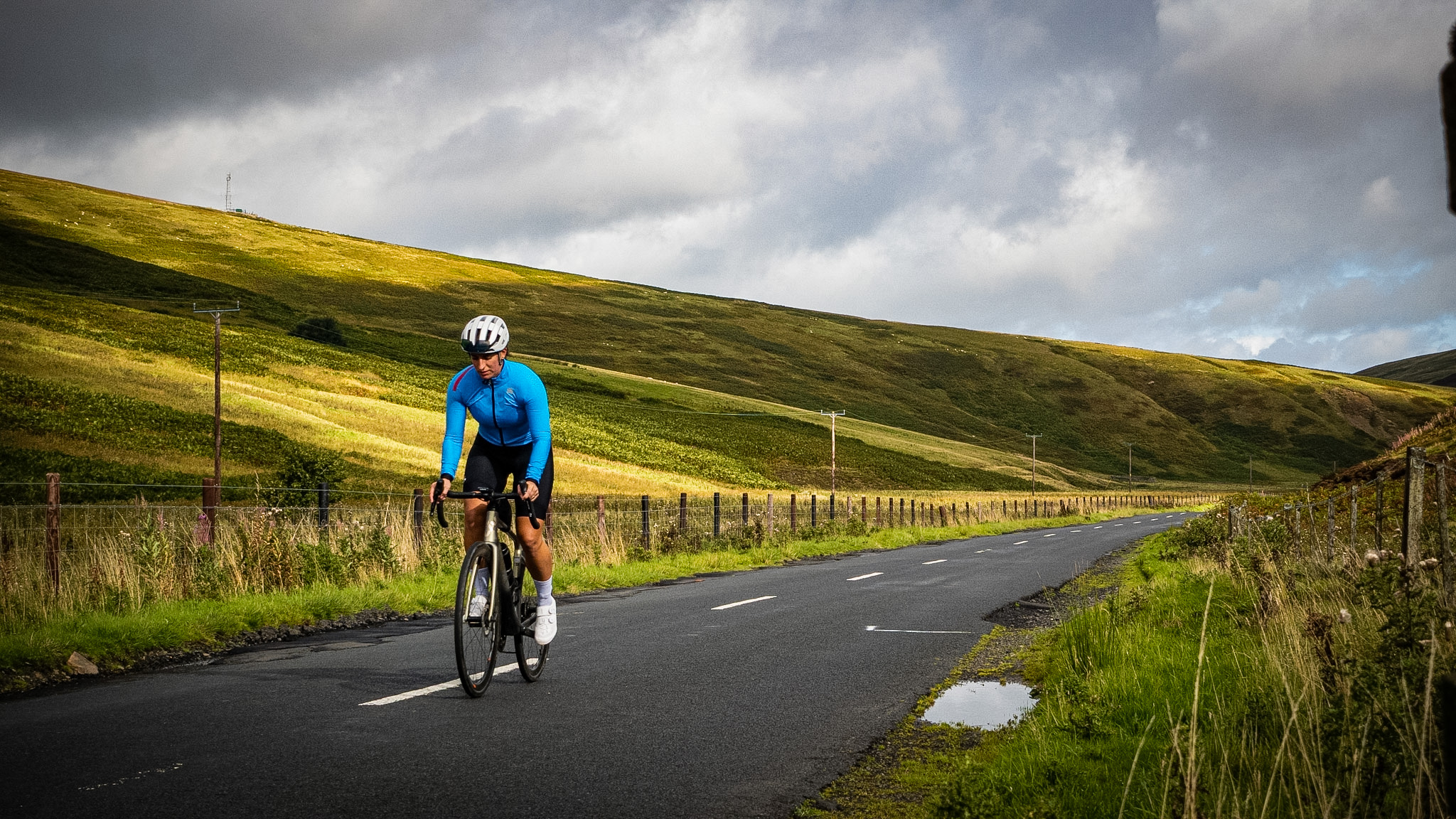
Our route of the first stage of the Tour de France 2027, as we explored it: from the center of Edinburgh southwards through the hills of the Scottish Borders, via Galashiels and Hawick, to the finish in Carlisle in England. A distance of over 200 kilometers, so be sure to arrange transportation back. The official route may differ in details: check the organization’s final route before departure.
Read the full story: Cycling in Scotland: from Landal Whitekirk Hill to Edinburgh and the Scottish Borders.