
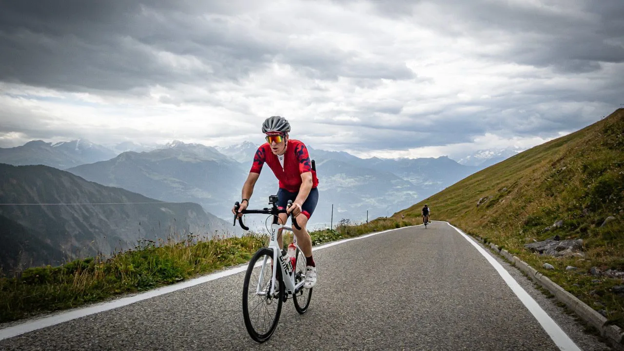
Switzerland as a climbing destination. For most of us, our knowledge of the Alps ends at the French border, and that’s a shame.
“Cycling’s best kept secret”. You could say that. While the Galibier and Alpe d’Huez are packed with campers in August, you can ride up the Col du Sanetsch almost all by yourself. The asphalt is tight, the roads are quiet, and the cols easily exceed 2,000 meters. Below is our selection by region, with a place for your bike to park for a week in each region.
Andermatt – the classic
Andermatt It is exactly where the big passes come together. From the village you can drive there in just a few minutes. Furkapass (2,429 m) and the Gotthard Pass, And with the train or a short drive, you can also get to Susten and the Grimsel. The village has bike shops and rental services, so a broken derailleur chain isn’t a problem here.
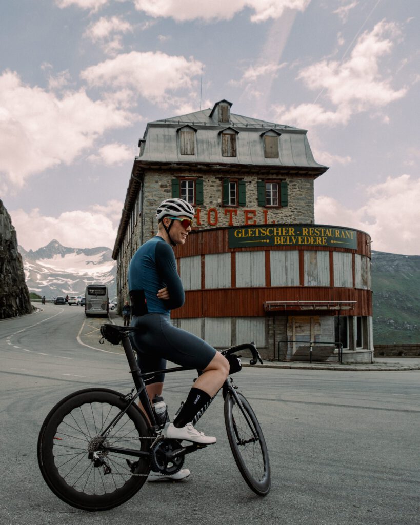
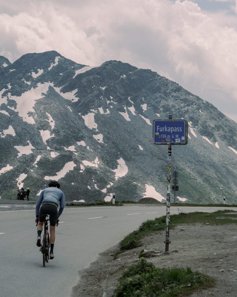
The Furka from Realp is 12%.2 km with an average gradient of 7. The first half of the climb takes place, then you see the top all the time in front of you. At the top Hotel Belvédère, known from Goldfinger, And according to the Gran Fondo Guide, they serve good coffee. The west side from Oberwald is even more beautiful: ascending through the Rhone valley; if the weather is good, the steam train passes by, and at Gletsch the road to the Grimsel splits off.

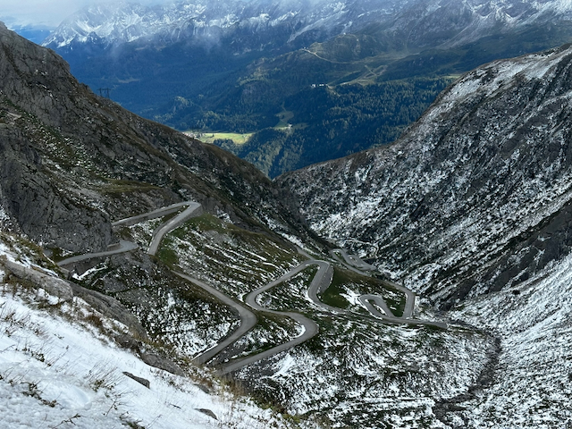
Of Gotthard do it through the old Tremola from Airolo. Fourteen kilometers at 6%, mostly over gravel roads, up in long loops to 2,108 meters. The switchbacks are in good condition. The modern road next to it is better for the descent. If you want a long day? The loop Susten, Furka, Grimsel is about 120 km with three cols above 2,100 meters. The Sustenpass (2%,224 m) If you prefer, you can drive from the west: 14.9 km in 7 stages; more than ten small tunnels; and sometimes even snow-capped peaks in the middle of summer.
Wallis – Sanetsch, Emosson and the quiet side valleys
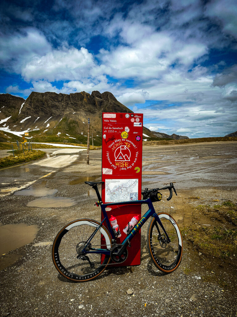
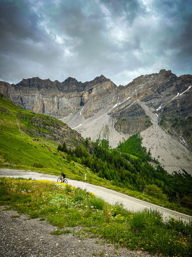
For us, the Col du Sanetsch the most beautiful climb in the country, and Gran Fondo Guide also puts it in the top one. You start in Sion In the warm Rhone Valley, immediately steep uphill between the vineyards. Then forest, open alpine meadows, steep hairpin turns and ever fewer traffic, because the road is closed off. At 2,000 meters high, a 800-meter tunnel awaits, which is only illuminated when the motion sensors see you. So bring a flashlight. After 24.6 km and over 1,700 meters of elevation gain, you reach 2,242 meters high, with a view of glacier and reservoir.
You don't have to go the same way back: drive a few more kilometers to the reservoir and hang your bike on the cableway to Gsteig near Gstaad. Through the Col du Pillon, the Col de la Croix and Aigle, you complete a circuit back to Sion. Before the start, CycloWorld chooses the eastern variant via Chandolin as the most beautiful route.
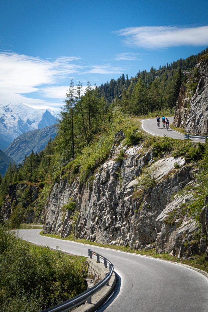
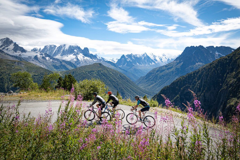
Less well known is the climb to the Lac de Vieux Emosson, Also known as the Barrage d’Emosson. The Tour de Suisse and even the Tour finished at the Barrage d’Emosson, but above that a small path runs up to the higher lake. From Le Châtelard you climb 1,260 meters over more than 16 km, with the Mont Blanc in sight the whole way. Save some for the final 1.5 km, at 15%.

If you're looking for peace and quiet, then it's Val d’Hérens A good option south of Zion. Driving around here isn't possible on asphalt, but the side climb to the Col de Ferpècle (1,891 m) from Les Haudères is very quiet: 510 meters climb over a thick 8 km, with a view of the glacier. It is one of the unknown gems of Switzerland. Sion is a logical base for this entire area, with a train station and the Rhone valley as a flat recovery day.
Alpes Vaudoises – Col de la Croix from Bex
Just west of Wallis, above Lake Geneva, lie the Valais Alps. The big climb here is the Col de la Croix From Bex: 20.3 km with an average of 6%,125 meters of elevation gain, with a peak at 1,776 meters. On paper it is even, in practice it splits into five parts. The first part goes regularly above 10%, between Gryon and Villars-sur-Ollon it flattens out, after Villars there is a wall and the last 4 km are a winding drive up to the top. From above you can see over the Rhone valley and the Diablerets.
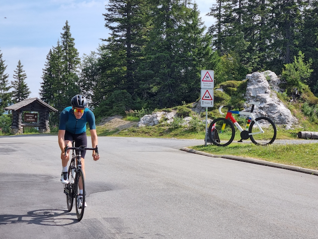
It is like a base camp Villars-sur-Ollon convenient, halfway up the climb and close to the Col du Pillon. The area is also not just for mountain goats: the region also promotes flat routes through the valleys for beginners and families, with e-bikes for those who want to see the cols without having to do them on their own. Great for traveling with a mixed group of people.
Graubünden – Albula, Umbrail and the Engadin
Graubünden is rugged and sparsely populated. The northern Albulapass (2%,312 m) from Filisur, there are 22.6 km of 6 slopes, never very steep, but with the most highlights. You drive under the arches of the Rhätische Bahn railway bridges, UNESCO World Heritage Site, over gravel roads Bergün, Along the slopes and gravel pits. Above is a small lake and further on there is mostly silence. From La Punt the south side is beautiful, although it makes a significantly less impression.
Right in the east is the Umbrailpass (2,501 m), the highest paved road in Switzerland. From Santa Maria you climb 13 km through 8% km of rough and quiet landscape. In the middle there is a 2 km stretch of gravel, a touch of Strade Bianche in the Alps. At the top you stand on the border and the road connects to the Stelvio, Which you can therefore easily access. According to some, this is the most beautiful side of the Stelvio.
Who in the Engadin In addition to the Bernina and the Julier, which are within reach, the Malojapass: A false flat from the Engadindal, but a wall of barbed wire when you approach it from Chiavenna. Working as a base of operations St. Moritz en Davos, Both have bike shops and train connections. Chur is the alternative if you want to explore the Rhine Gorge as well.
Bernese Oberland – Grosse Scheidegg
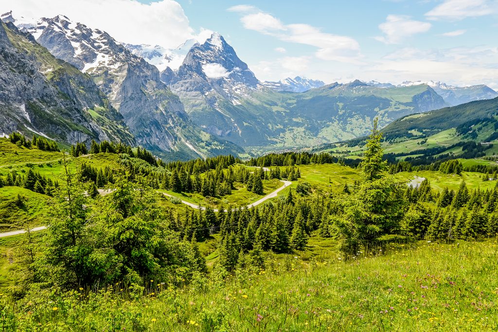
Of Grosse Scheidegg (1,962 m) is the climb for those seeking silence. The road is closed to cars; only the local bus drives there once every half hour. From Grindelwald It is over 16 km at 7.6% on a narrow and sometimes bumpy road, with the north face of the Wetterhorn right in front of you. In the second half, the percentage rarely drops below 10%. Above, there is a mountain restaurant to relax in. Make it a round by taking a walk along the banks of Lake Brienzersee and finish off with a swim in the lake. If you still have legs, the dead-end climb to the Male to wait from Grindelwald. Interlaken is the logical basecamp, with trains to all directions.
Practical – season, trains and sleeping
The high-pass season runs from June to September. Outside of these months, most cols are close to or under the snow. Also, bring a rain jacket and arm warmers in July; the weather changes quickly above 2,000 meters, and there are fewer cafes above 1,500 meters.
SBB and the postal service take bikes along, making it easy to cut a loop or skip part of a rest day. On intercity trains, you reserve a bike space; regional trains are roll-on. The Veloland network of over 12,000 km of signposted routes ensures that you can find your way even without a Garmin. For sleeping, there are Bike Hotel-certified addresses with locked bike storage and tools. Such overview You can find links to hubs and tips from the Swiss cycling organizations themselves.
Our shortlist for next year: Crans-Montana or Martigny for the Sanetsch and Emosson, Andermatt for the classics. Have you been to Switzerland already and do you have a col or base camp that isn’t on this list? We’d love to hear from you!
Questions & tips
Do you have any questions about this route, or have you been there yourself? Share them here. We read everything and usually respond within a few days.