
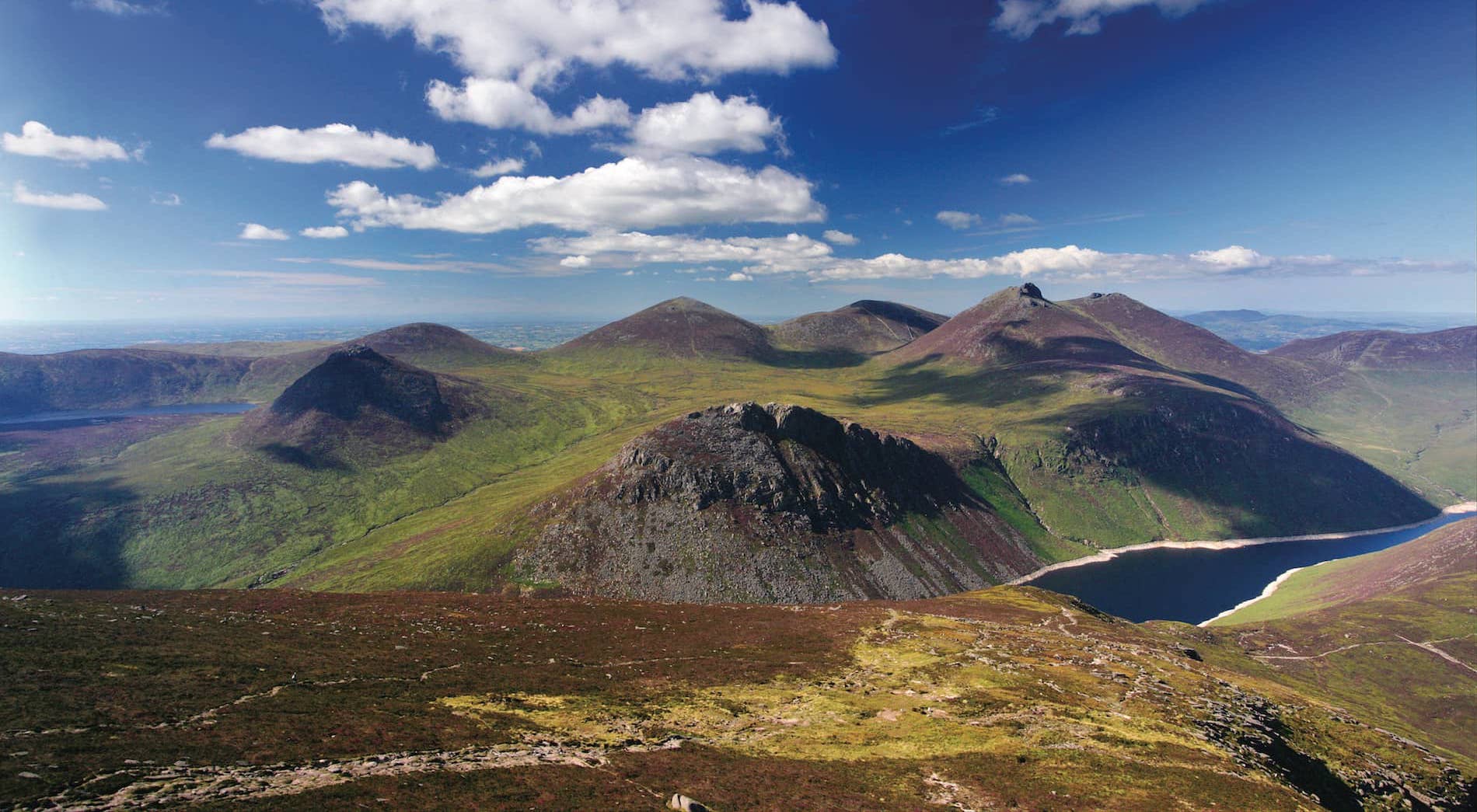
The northern part of the Irish island has been separated from the rest for decades by a (more or less hard) border. Northern Ireland, part of the United Kingdom, is for many a blind spot in the cycling world. It lacks the recognizability of the Yorkshire Dales, It doesn't sound as good as The Peak District or has not the ruggedness of Scotland. Not to mention the lack of alpine trails, but yeah, what do you want on an island that far away? Still, it’s definitely worth taking the plunge (if you’re in the area) and exploring Northern Ireland further. We looked for beautiful routes and ended up with a tour around the Mourne Mountains. Not bad, we’ll say that! Cycling in Northern Ireland is on your must-do list.
Point of attention
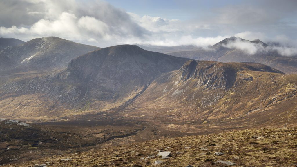
Northern Ireland is only a small country (or country state) with an area of 14,130 square kilometers. A considerable chunk smaller than the Netherlands (with over 40,000 square kilometers, not a big player either). In this northern part of Ireland (if that’s what to call it), you find a beautiful rugged landscape with a mountain range in the southeastern corner that just dwarfs the hill-top size. The Mourne Mountains are much sung about in (Northern) Irish folk songs and rightly so. It’s stunning there.
The most important peak that determines the skyline is Slieve Donard. The highest mountain in Northern Ireland is 852 meters high, and with that, Slieve stands out above the rest. The surrounding peaks are known to the locals primarily as ‘The Mournes’, although in reality they also carry names like Slieve Muck, Slieve Binnion and Slieve Bernagh.
Mourne-ing Round
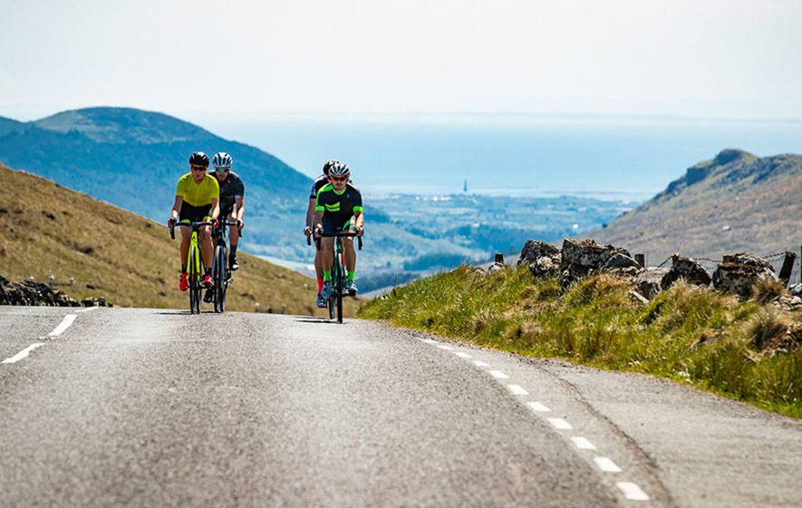
To get the most out of this area, you’d best start in the town of Newcastle, on the Irish Sea. From here you have two choices: going inland, or following the beautiful coastal route towards Kilkeel. We choose option two. This route winds its way out of the city and then slowly climbs higher. From that point on, you’ll have the mountains practically on your right hand side while in the first part you won’t climb any mountains at all. In total, this route is 73 kilometers and you can expect a somewhat longer climb with a nice percentage and a bit of a pain in the ass.
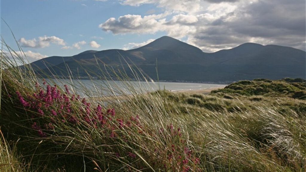
Overall, you have some beautiful views, and when you drive the first part of the route (southwards), you should keep an eye out occasionally for Newcastle. You can see places like Dundrum Bay, St John’s Point Lighthouse, and the Slieve Donard Hotel with its red brick facade. It’s absolutely stunning.
Further south
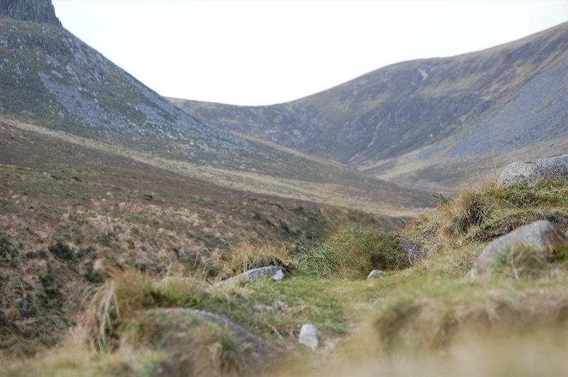
On the way to Annalong and Kilkeel (what wonderful names), you pass the Bloody Bridge. In this area, names like this are no walk in the park. In this case, it goes back to an incident in 1641 where prisoners were exchanged between two warring parties. When the exchange was to take place, one of the parties had already killed the prisoner. In retaliation, the remaining prisoners of the opposing side were killed at Bloody Bridge. A painful history. Now there is mainly a beautiful view of Slieve Donard over the land.
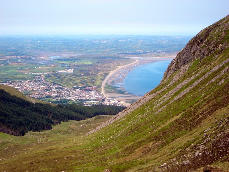
From Kilkeel, you head towards Greencastle and drive through the green meadows. Here you see something typical: stone walls that seem to have been cut quite flat. Not entirely strange, considering that this area was a US airbase during the Second World War. After the war, it was demolished, but the stone walls that have been smoothed over are still a silent witness to that time. Just like many farms that served as military buildings.
Ready to climb
After you reach the town of Rostrevor, the better climbing begins. Rostrevor is a perfect place to stop for a coffee and enjoy the view. This spot is one of the most expensive pieces of land in Northern Ireland. On its own, we can understand why.
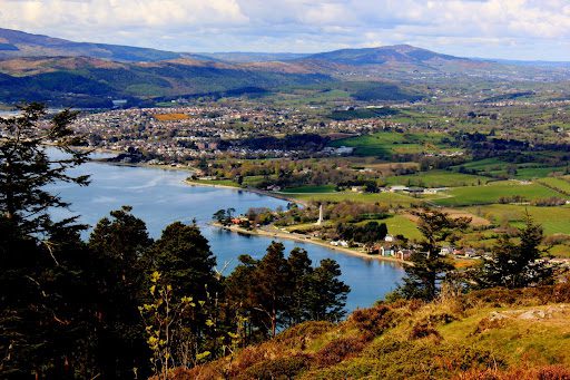
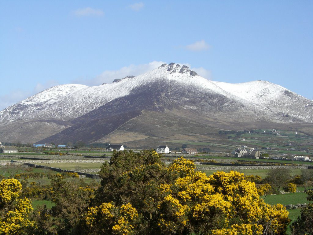
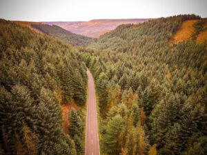
From here you go straight up and in 7.6 kilometers you reach a nice 320 meters of elevation gain. Note that there is a section of 1.5 kilometers just below the top where the incline rates are around 10%. That really is a steep climb. You drive along Rostrevor Road and to your right you can see the entire forest of Rostrevor the whole time. The view with the Mournes is truly spectacular.
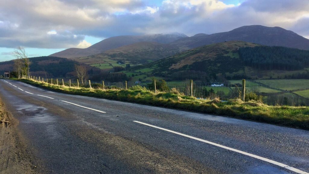
Once you reach the top, the descent towards the foot of the Spelga climb, one of the most famous climbs in the area, gets really steep. At first, you’ll have some beautiful S-curves to look forward to. Then, you’ll have another stretch of 1.5 kilometers of 9%s to burn! If your legs are weak, you’ll feel it right away. The views remain stunning.
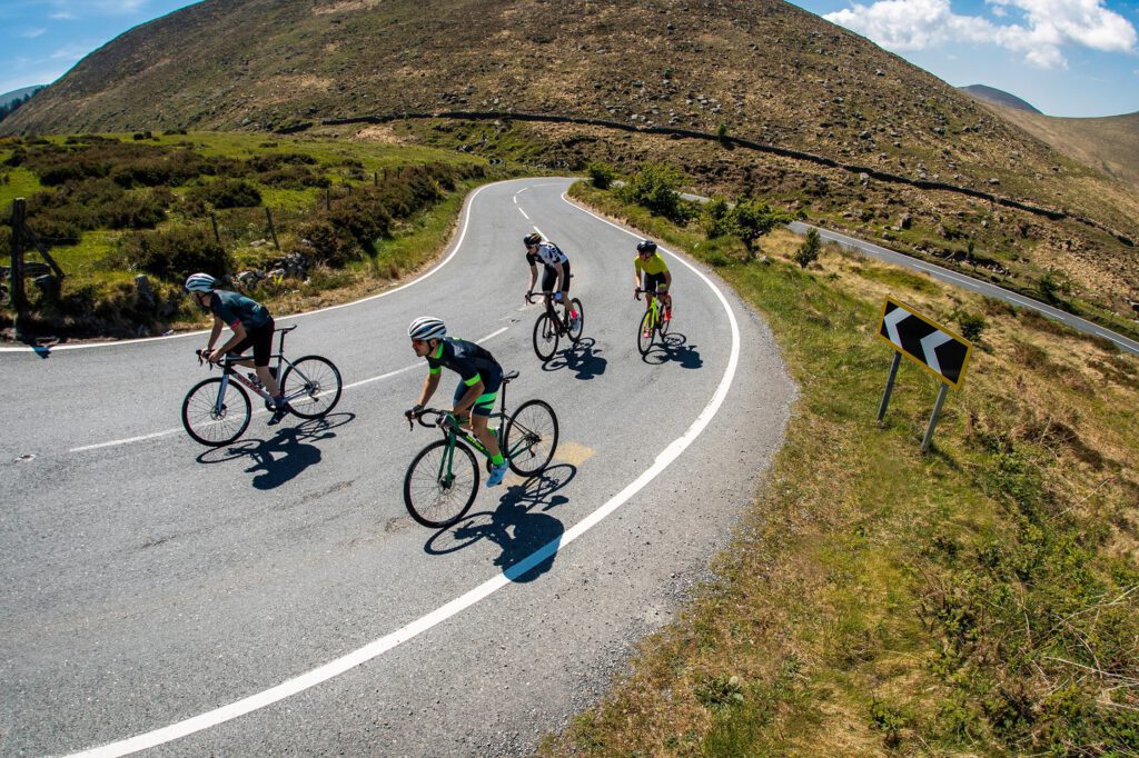
From the top, it’s racing downhill to Newcastle, where you can sit down in one of the many terraces for a good lunch, a good pint, or a colaatje. We’re in. Northern Ireland deserves a spot on the list!
Learn more
On the website of the Northern Ireland Tourist Board You will find a lot of useful information about cycling in Northern Ireland. You can find great routes on our Komoot page, including the one above around the Mournes.
Questions & tips
Do you have any questions about this route, or have you been there yourself? Share them here. We read everything and usually respond within a few days.