Part of France
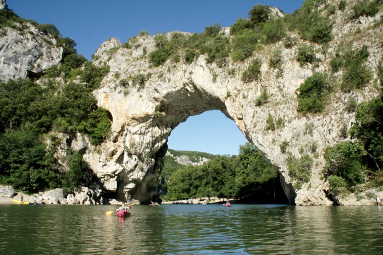
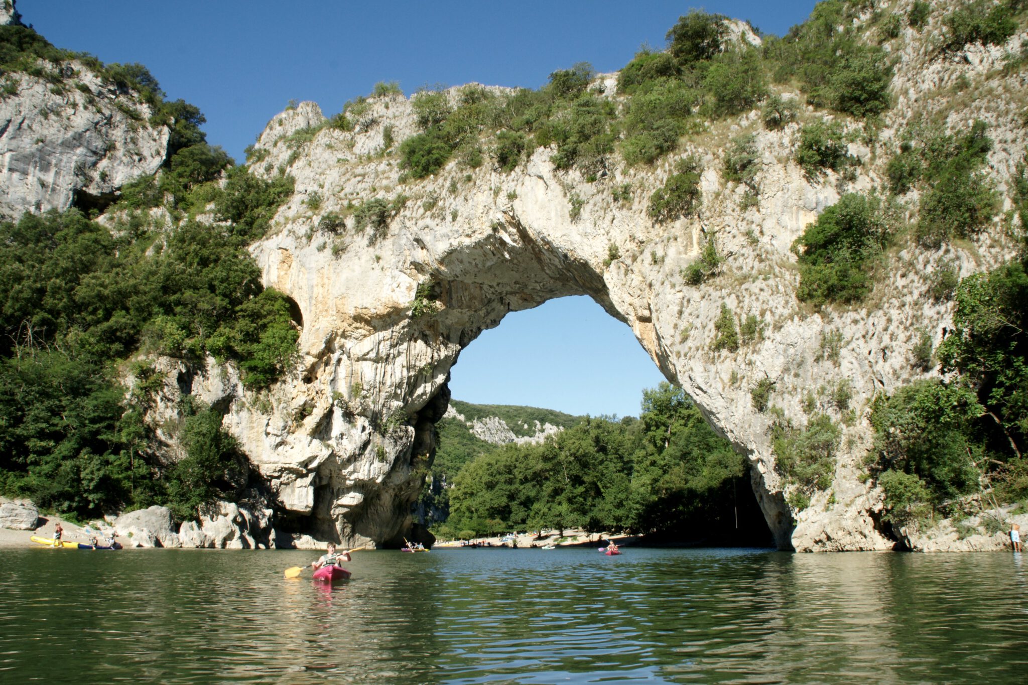
Many Dutch people know the Ardèche from their camping holidays: canoeing through the gorge, swimming at the Pont d’Arc. But those who bring their bike discover a very different Ardèche. Behind the touristy river lies a mountainous land of chestnut forests, terraces with vines, stone villages and long climbs to the plateau of the Massif Central. Traffic is limited, the food is good and the weather often sunny.
The Ardèche is located between the Rhône in the east and the volcanic plateau around Mont Gerbier de Jonc in the west. You can climb from a height of 100 meters to over 1,400 meters on a single ride. This makes it a serious destination for road cyclists, and with the Dolce Via it is also a lovely area for leisurely touring.
Why cycle in the Ardèche?
- Varied climbing work: from short, steep slopes in the south to long passes in the north and west.
- The Gorges de l’ArdècheThe road above the gorge, between Vallon-Pont-d’Arc and Saint-Martin-d’Ardèche, is one of the most beautiful scenic routes in France.
- L’Ardéchoise: Every year in June, the largest tour in Europe takes place, with thousands of participants and villages that dress up.
- Driving without a carThe Dolce Via follows an old railway line through the valley of the Eyrieux.
Race bike: the most beautiful climbs and roads
- Mont Gerbier de Jonc: the volcanic cone from which the Loire River springs, at an altitude of over 1,400 meters. From the Eyrieux or from the south, a long, varied climb.
- Col de l’Escrinet: The classic climb between Aubenas and Privas, well known from the Paris-Nice race. Not very steep, but long and with nice views.
- Gorges de l’ArdècheThe route along the canyon is winding, with viewpoints from which you can look down hundreds of meters. Drive it early in the morning, because in the summer it gets very busy with cars and campers.
- The north around Lamastre and Saint-Félicien: the heart of the Ardéchoise, with endless small roads through forests and over mountain ridges.
Cycling and gravel: the Dolce Via
The Dolce Via is a path over an old railway line. According to France Vélo Tourisme, it runs for about 90 kilometers through the valley of the Eyrieux, from La Voulte-sur-Rhône on the Rhone via Le Cheylard to Lamastre and Saint-Agrève. The slope is even everywhere and rises from east to west, so it goes back naturally. The path passes over old railway bridges and through tunnels, and is partly paved, partly fine gravel: perfect for a gravel bike or touring bike.
Along the eastern border runs the ViaRhôna, the long cycling route along the Rhône from Lake Geneva to the Mediterranean Sea. This allows you to combine the Ardèche with a multi-day trip along the river. For gravel riders, there are many unpaved forest and agricultural roads in the interior; however, bring wide tires, as the gravel can be rough.
L’Ardéchoise
In June, half of Europe heads to Saint-Félicien for L’Ardéchoise, a tour with distances for everyone, from short rides to multi-day variants. The special thing is that the villages along the route decorate themselves in the yellow and purple colors of the tour, and there are residents everywhere serving food and drinks. If you want to participate, sign up in time and book your stay early.
Three rides to get you started
- Gorges de l’Ardèche from Vallon-Pont-d’Arc (about 70 km round trip): along the Pont d’Arc and over the road above the gorge to Saint-Martin-d’Ardèche. Leave early, then you have the viewpoints to yourself.
- Aubenas – Col de l’Escrinet – Privas and back (about 65 km): a classic climb with a beautiful descent, and along the way terraces in the villages at the foot of the mountain.
- Dolce Via from Le Cheylard (30 to 90 km): leisurely ride along the old railway line to Lamastre or Saint-Agrève, through tunnels and over viaducts. Ideal for a relaxing day out or with children.
Practical tips
- HeatIn the summer, temperatures can reach 35 degrees in the valleys above the sea level. Leave early, bring plenty of water and plan your lunch in the shade.
- Roads: Many of the small roads are narrow and winding, with occasional gravel in the curves. Drive slowly, especially after a thunderstorm.
- FoodTry the marrons cream, the picodon goat cheese and the wines of the southern Ardèche.
- Bike rentalIn Vallon-Pont-d’Arc, Aubenas and along the Dolce Via you can rent race bikes and e-bikes. For the Dolce Via you can also arrange luggage and bike transport back.
- CombineFrom the north of the Ardèche, you can quickly reach Mont Ventoux and the Drôme, on the other side of the Rhône.
When are you leaving?
April to June and September to October. In July and August the valleys are very hot and around the Gorges there is a lot of holidaymakers. In the spring the broom-tree blossoms; in the autumn the chestnut trees turn bright red. High up in the plateau around Gerbier de Jonc it can be cold and foggy until April and from November onwards.
How do you get there?
By car, you can drive from Utrecht in about ten hours to the south of the Ardèche. By train, you can travel via Paris or Lyon to Valence or Montélimar, on the outskirts of the region. There are no trains through the Ardèche itself, so from the station you cycle on or take a bus or transfer.
This is how we calculate: We calculate distances and travel times starting from Utrecht. Our flights always depart from Schiphol, Rotterdam The Hague Airport or Eindhoven Airport. Want to know how to travel from your place of residence the best way? Let us know, We are happy to help you. After all, we built this site together.
Are you flying? Read our guide Flying with your bike: Which airline, what the cost is and how to pack your bike.
Where to stay?
Vallon-Pont-d’Arc and Aubenas are convenient for the south and the Gorges. Lamastre and Le Cheylard are on the Dolce Via and close to the climbs from the north. Privas is a good base for the Escrinet and the middle of the region. There are many campsites around the Gorges, but outside the high season it is also easy to find gîtes and chambres d’hôtes.
For whom is the Ardèche?
The Ardèche is for race cyclists who seek variety: climbing, descending, canyons and high plateaus in one week. You don’t have to be a mountain climber, because most of the cols are long but not extremely steep. Cyclists and families will find flat, car-free routes on the Dolce Via and along the ViaRhôna. And because the Ardèche is also a real holiday region, you can easily combine cycling here with canoeing, swimming and enjoying good food on a terrace.
Sources
- France Vélo Tourisme: Dolce Via – green path along the Eyrieux, about 90 km
- Auvergne-Rhône-Alpes Tourism: Dolce Via – La Voulte-sur-Rhône – Saint-Agrève
- France Vélo Tourisme – long-distance routes and stages
- Photo: Mboesch via Wikimedia Commons (CC BY-SA 3.0) – main photo