Part of France
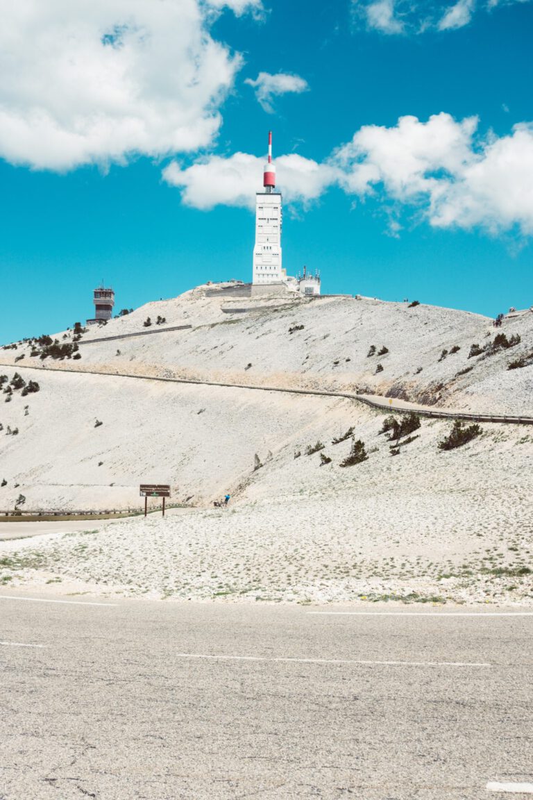
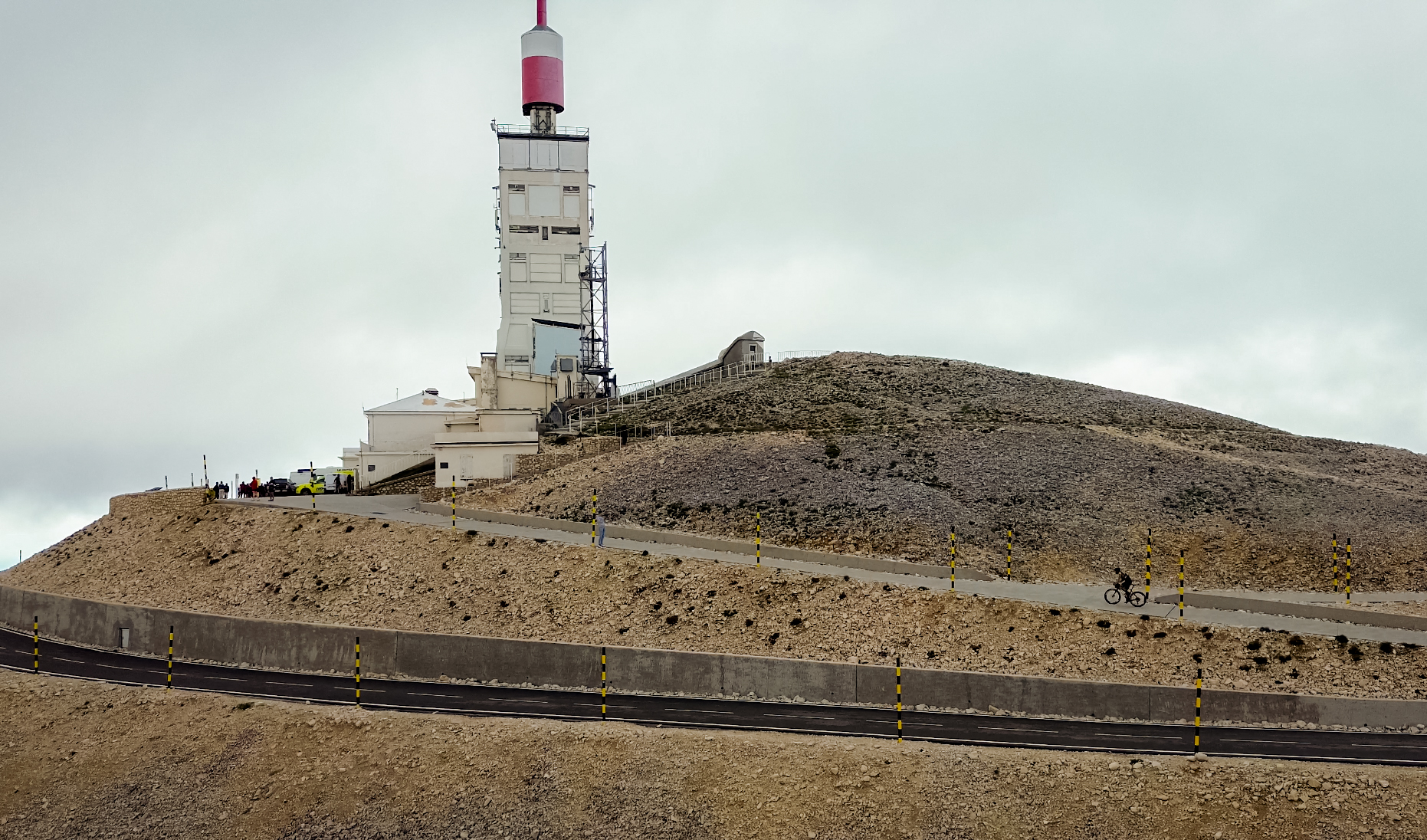
The Mont Ventoux is on almost every cyclist’s list. The Giant of Provence towers bald and white above the landscape, and the three classic climbs from Bédoin, Malaucène and Sault are each a story in themselves. But Provence is much more than just one mountain. You cycle through lavender fields and vineyards, over high plateaus and through gorges so deep that you feel dizzy. And those who travel further east will find the climbs above Nice where the pros train who live on the Côte d’Azur.
Why cycle in Provence?
- The Mont Ventoux. From Bédoin, it is a 21-kilometer climb with more than 1,600 meters of elevation gain, with the famous final kilometers over the bare lunar landscape.
- Cracks and canyons. The Gorges de la Nesque and the Gorges du Verdon are among the most beautiful roads in France.
- Lavender and wine. The plateau of Sault and the Luberon turn purple from late June to late July; around the Dentelles de Montmirail you drive through the vineyards of Gigondas and Beaumes-de-Venise.
- Quiet roads. Outside the high summer season, the departmental roads in the interior are quiet, with good asphalt.
- Lots of sunshine. Provence has more than 300 sunny days a year. Spring starts here weeks earlier than at home.
The areas
Mont Ventoux and the Dentelles. The Ventoux is located in the north of the Vaucluse. At its foot lie the chalky limestone cliffs of the Dentelles de Montmirail, with short, steep climbs through the vineyards. Bédoin and Malaucène are the classic starting points.
Plateau of Sault and Gorges de la Nesque. South of the Ventoux lies the high plateau of Sault, with lavender fields and vineyards. From Villes-sur-Auzon you climb through the Gorges de la Nesque to Monieux and Sault: a long, even climb through a gorge with tunnels and viewpoints. One of the most beautiful roads in all of Provence.
The Luberon. Between Apt and Cavaillon lies the Luberon, with villages like Gordes, Roussillon and Bonnieux perched on their hilltop. Short and winding, ideal for a relaxing day with some climbing involved.
The Gorges du Verdon. Further east lies Europe's deepest canyon. The Route des Crêtes from La Palud-sur-Verdon runs along the edge of the canyon, with belvederes hundreds of meters above the turquoise water. The Lac de Sainte-Croix and Moustiers-Sainte-Marie complete the picture.
The Côte d’Azur. Above Nice and Menton are the climbs where the pros from Monaco and Nice train. The Col de la Madone from Menton is the test climb for the pros; the Col d’Èze is famous from the final stage of the Paris-Nice race, and the Col de Turini is notorious from the Rally of Monte Carlo.
You must not miss these climbs
- Mont Ventoux from Bédoin. The classic route: first through the forest, then the barren, white lunar landscape to the top at 1,910 meters.
- Gorges de la Nesque. Not a difficult climb, but an unforgettable road through the gorge to Monieux.
- Col de la Madone. From Menton, take a narrow road to Sainte-Agnès and the top, with views over the Mediterranean Sea.
- Col de Turini. A long climb through the forest to 1,607 meters, with dozens of hairpin bends.
- Route des Crêtes. Short but steep, along the edge of the Verdonkloof.
Our mountain bike routes in Provence
Six routes: the Gorges de la Nesque and the Gorges du Verdon in Provence, and three mountain climbs above Nice, with the Col de la Madone, the Col de Turini and the Col de Vence.
Route collection · Race bike
Racers in the Provence and on the Côte d'Azur
- 6routes
- 24–112km per ride
- 3.421max. altitude meters
- 432km in total
- 1
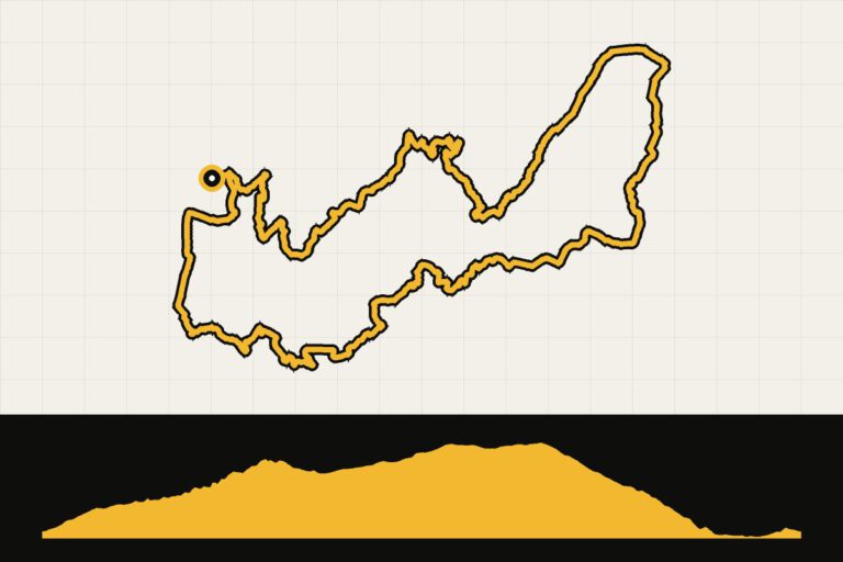 Route 1 · 65.8 km · 1.019 hmProvence: Gorges de la NesqueThrough the Nesque Gap to Sault.Map, profile & GPX of route 1 →
- 2
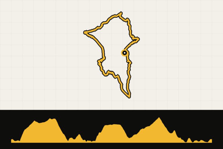 Route 2 · 67.1 km · 889 hmProvence: a tour of Lac de Sainte-CroixAround the turquoise Lac de Sainte-Croix.Map, profile & GPX of route 2 →
- 3
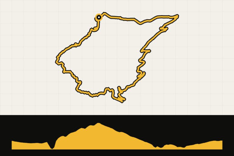 Route 3 · 23.5 km · 1,080 hmProvence: Route des Crêtes in the Gorges du VerdonThe Route des Crêtes along the Verdon Gorge.Map, profile & GPX of route 3 →
- 4
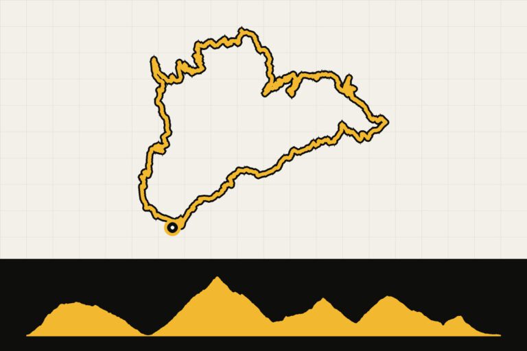 Route 4 · 104.3 km · 2,683 hmCôte d’Azur: Col d’Èze and Col de la MadoneThe Col d'Èze and the famous Madone above Monaco.Map, profile & GPX of route 4 →
- 5
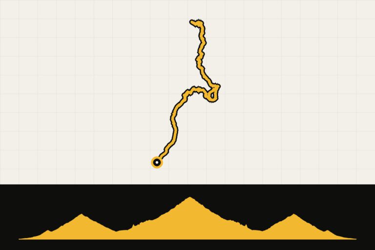 Route 5 · 112.4 km · 3,421 hmCôte d’Azur: Col de Braus and Col de TuriniCol de Braus and Col de Turini: 3,400 m altitude.Map, profile & GPX of route 5 →
- 6
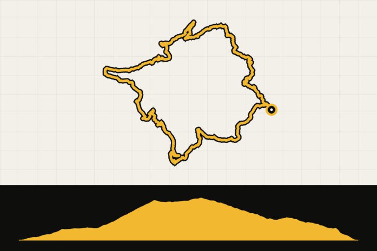 Route 6 · 58.5 km · 1,250 hmCôte d’Azur: Col de VenceTo the Col de Vence above the coast.Map, profile & GPX of route 6 →
Gravel in Provence
Provence is also a paradise for gravel bikers. Thanks to the garrigue, the dry scrub of rosemary, thyme and pines, countless unpaved forest paths and old cart tracks run through it. Around the Ventoux, in the Monts de Vaucluse and on the plateau of Albion, you can ride for hours on white gravel paths without encountering a car. The Luberon has its own signposted mountain bike route that you can partly ride on a gravel bike. Please note: in summer, access to some areas in the forests is restricted due to fire danger. So be sure to check the department’s website before setting off.
Food and drink
After a day of climbing, you deserve a terrace. Try the wines of the Côtes du Ventoux, Gigondas and Châteauneuf-du-Pape, and have a plate of tapenade, olives and goat cheese. At the markets, like those in Bédoin on Mondays and Carpentras on Fridays, you’ll find everything for a picnic on the go. And those who have conquered the Ventoux treat themselves to a piece of nougat in Sault.
Your Cycling base
Bédoin and Malaucène They are located at the foot of the Ventoux, with plenty of bike rentals and cafes full of cyclists. Sault is quieter and is located right in the lavender fields. For the Verdon, choose Moustiers-Sainte-Marie of La Palud-sur-Verdon. Those who want to combine the Côte d’Azur with the mountains are in good hands. Nice of MentonThe climbs begin literally behind the houses.
Long-distance routes and award-winning cycling regions
- Luberon (241 km, a loop from Cavaillon).
- Through Venaissia (63 km, Caderousse – Robion): a car-free route on an old railway line.
- Tour du Ventoux (128 km, a loop from Vaison-la-Romaine).
- Grand Traverse VTT Alpes-Provence (305 km, Col de Larche – Manosque): for mountain biking and tough gravel roads.
The Luberon, Provence Alpes Digne-les-Bains and the Ventoux were awarded the title of Destination France à Vélo in 2026.
When are you leaving?
April to June and September to October are ideal. In July and August it is often above 30 degrees in the valleys and there is a lot of traffic on the Ventoux and the Verdon. Take into account the mistral: the cold north wind blows for days at a time and it can also be cold at the top of the Ventoux in summer.
What to bring?
- A compact gearbox for the Ventoux and the climbs above Nice.
- A wind jacket for the descent of the Ventoux, also in summer.
- Two canisters: In the interior, the villages are sometimes far apart.
- Lighting for the tunnels in the Gorges de la Nesque and the Verdon.
How do you get there?
Fly to Marseille or Nice, or take the TGV to Avignon and rent a bike there. By car, it's about an eleven-hour drive from Utrecht to the Vaucluse; plan to spend the night in Burgundy or around Lyon along the way.
Sources
- France Vélo Tourisme: cycling routes – long-distance routes
- Destinations France by Bike 2026 – award-winning cycling regions
This is how we calculate: We calculate distances and travel times starting from Utrecht. Our flights always depart from Schiphol, Rotterdam The Hague Airport or Eindhoven Airport. Want to know how to travel from your place of residence the best way? Let us know, We are happy to help you. After all, we built this site together.
Are you flying? Read our guide Flying with your bike: Which airline, what the cost is and how to pack your bike.