Part of Germany › Baden-Württemberg
An hour's drive from Frankfurt, in Baden-Württemberg, lies Kraichgau-Stromberg. Most Dutch people drive past it on the way to the Black Forest or the Alps. That's a shame, because the nickname says it all: the land of the 1000 hills, dotted with gravel paths.
Why gravel biking in Kraichgau-Stromberg?
Vineyards, forests and fields alternate, and between all that greenery there are endless unpaved roads. The region has set up its own routes, ranging from leisurely to challenging, so that you can drive a different route every day.
Starting point
Knittlingen is a nice base camp: a small town with half-timbered houses, in the middle of the hills and vineyards.
Cycling in the land of 1,000 hills
Kraichgau-Stromberg lies between the Black Forest, the Odenwald and the Neckar, in the north of Baden-Württemberg. The landscape is a rolling blanket of vineyards, orchards, fields and forests, dotted with half-timbered villages, monasteries and castles. According to the region itself there are more than 2,000 kilometres of cycle paths and 28 signposted tours. The hills are not high, but they never stop: on a seventy-kilometre ride you easily collect a thousand metres of climbing.
Gravel routes
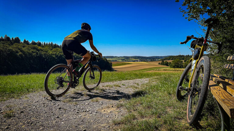
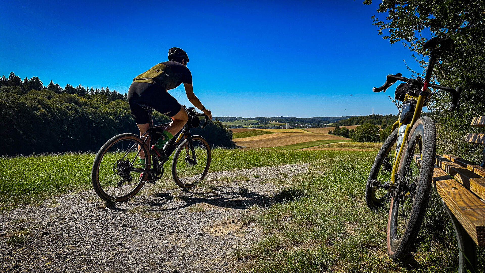
Together with gravel riders, the region has mapped out six gravel routes through the land of 1,000 hills, including through the Stromberg-Heuchelberg Nature Park. You ride on lonely roads between the vineyards, on gravel paths through quiet forests and past ruins and monasteries. The routes are physically demanding because of all the climbing and descending, but very varied. Most start at a railway station, so you can come without a car. Also read our story Why you want to ride gravel in Kraichgau-Stromberg and Gravel routes in Baden-Württemberg.
Road bike
The road bike is a pleasure here too. The small roads between the villages are quiet and in good condition, and the short climbs never make it boring. The Stromberg has the steepest hills, with views over the vineyards. A great long ride goes from Knittlingen to the monastery of Maulbronn and on to the Neckar at Heilbronn.
Culture and food along the way
- Maulbronn Monastery: one of the best-preserved medieval monasteries in Europe and UNESCO World Heritage.
- Bruchsal: a baroque palace with gardens, on the west side of the Kraichgau.
- Asparagus and wine: spring is asparagus season, autumn the wine harvest. Also try Maultaschen, filled pasta pockets from Swabia.
Three rides to get you started
- Stromberg loop from Knittlingen (about 60 km, gravel): through the vineyards and forests of the Stromberg-Heuchelberg Nature Park.
- Knittlingen – Maulbronn – Heilbronn (about 70 km, road bike): past the monastery to the Neckar, back by train.
- Kraichgau hills from Bretten (about 50 km): rolling through fields and half-timbered villages, ideal as a first introduction.
Who is Kraichgau-Stromberg for?
Kraichgau-Stromberg is ideal for gravel riders looking for quiet, varied routes without high mountains, and for road cyclists who love rolling roads. It is also a smart stopover on the way to the Black Forest, the Alps or Italy: instead of driving straight past, you ride here for a few days. Coming by train is easy, because most routes start at a station.
Where to stay?
Knittlingen is a pleasant base camp in the Stromberg, right among the vineyards. Bretten and Bruchsal are on the west side and have good train connections to Karlsruhe. If you prefer to stay in a bigger town, choose Heilbronn on the Neckar. Everywhere you will find winegrowers and small hotels happy to welcome cyclists.
What to bring?
- A gravel bike with tyres of at least 38 millimetres for the gravel paths.
- Enough water: there are few shops between the villages.
- A bag for a bottle of wine or a jar of honey from a farmer along the way.
Food and drink
Kraichgau-Stromberg is a region for those who enjoy good food. In spring everything revolves around asparagus: every market and restaurant serves Spargel with ham and hollandaise sauce. In summer there are cherries and strawberries by the roadside, and in autumn it is wine harvest time. The region mainly makes Lemberger, Trollinger and Riesling. A Besenwirtschaft, a temporary wine café at the winegrower's home, is the best place to settle down after a ride. There you eat simple Swabian dishes such as Maultaschen, Zwiebelrostbraten and Käsespätzle.
Combine with a longer trip
Kraichgau-Stromberg lies right on the route from the Netherlands to the south. Many cyclists drive straight past on their way to the Black Forest, Lake Constance or Italy. Make it a stopover of two or three days: you break up the long drive, and you get to know a region you would otherwise never see. From Knittlingen you can reach the northern Black Forest, Heidelberg and the Odenwald within about an hour. By train it is just as easy: Karlsruhe, Stuttgart and Heilbronn are the hubs, and from there regional trains run right into the villages.
Practical tips
- Navigation: the gravel routes are not signposted everywhere. Load the GPX onto your bike computer.
- Wind and sun: there is little shade between the vineyards. Bring enough water and sunscreen.
- Harvest time: in September and October tractors drive through the vineyards. Take care on the narrow concrete paths.
- Sunday: many shops are closed, but wine cafés and restaurants are open.
When are you leaving?
April to October. In the autumn, the vineyards turn a beautiful color and the harvest season begins.
How do you get there?
You can get there from the Netherlands by car in one day, and by train via Karlsruhe or Stuttgart.
Sources
- Komoot: Gravel biking through the land of 1,000 hills – six gravel routes, 2,000 km of cycling paths, 28 signposted tours
This is how we calculate: We calculate distances and travel times starting from Utrecht. Our flights always depart from Schiphol, Rotterdam The Hague Airport or Eindhoven Airport. Want to know how to travel from your place of residence the best way? Let us know, We are happy to help you. After all, we built this site together.
Are you flying? Read our guide Flying with your bike: Which airline, what the cost is and how to pack your bike.