Part of Spain
Mountain biking and gravel biking in Aragón
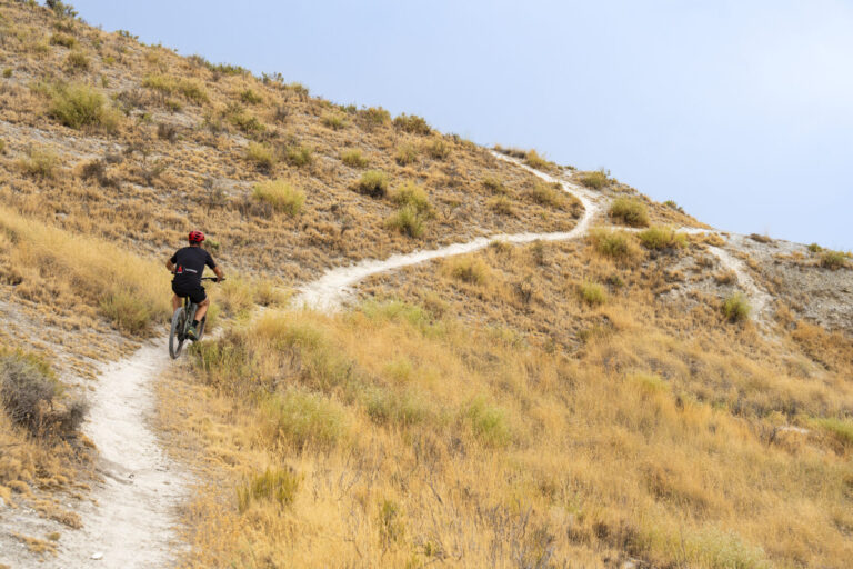
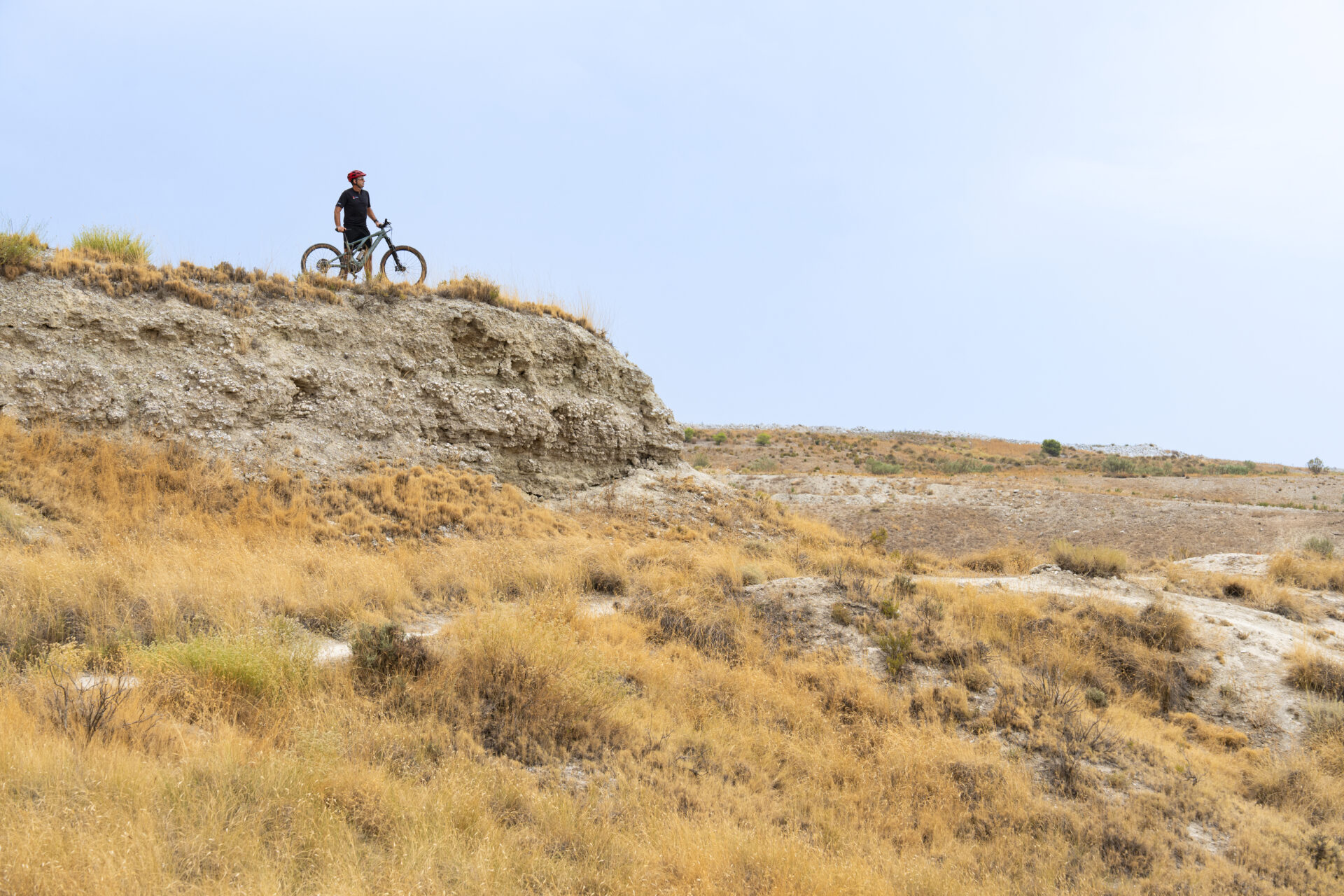
From green nature in the mountains to arid plains; in Aragon you will find a huge variety of landscapes. In the north, the region covers the central part of the Pyrenees. The southernmost point of the region is almost at the same latitude as Valencia. Especially the Spaniards know how to find the most beautiful off-road routes, but nowadays more and more northern Europeans are discovering Aragón as a destination for MTB and gravel biking. The vast nature, the large network of unpaved roads, and the world-famous mountain biking region Zona Zero offer endless possibilities for adventurous cyclists.
On this page, we share twelve mountain biking and gravel routes for different levels. From relaxed rides on well-maintained gravel paths to rugged mountain biking routes; this selection of routes shows how versatile Aragon is as a cycling destination.
Aragon is one of the most versatile cycling destinations in Spain – and perhaps in Europe as well. But beyond that, there are even more reasons why mountain bikers and gravel enthusiasts would like to visit this cycling destination. There is a huge network of unpaved trails and there is little traffic outside the cities. Life in the villages is also peaceful and relaxed. This gives Aragon an authentic character; here you can still feel the real Spain, far from the tourist crowds.
The climate in Aragón means that conditions are almost ideal all year round for going on adventures by bike. In winter and early spring, the lower parts of the province of Zaragoza are the best choice thanks to the sunny and dry climate, although it can be chilly. In the autumn and winter, both Zaragoza and Teruel are fantastic destinations. As soon as summer arrives, the snow on the mountain peaks slowly disappears and the mountain passes become accessible again, the attention shifts to the province of Huesca.
A bicycle holiday to Aragón should never be just about cycling. Life in this peaceful region is truly authentic. Stop for a coffee at a village café during your ride; you’ll be greeted with hospitality. Before you know it, you’ll be chatting with a few locals, who proudly tell you about their village. A coffee break or lunch in Aragón can quickly take longer than planned. Life here is calm and relaxed.
The Aragonese cuisine is also a reason to linger after the ride. Aragon is known for local products such as Jamón de Teruel, Ternasco de Aragón (young lamb), artisan cheeses, and olive oil from Bajo Aragón.
Sure, take a bike ride through one of the beautiful villages that the region is rich in. Or better yet: on a day off, take a walk through the medieval streets. Albarracín and Aínsa are among the most beautiful villages in Spain and are well worth a visit.
Do you want to go mountain biking in Zona Zero? Stay at Hotel Sanchez. From here, you can easily ride one of the many mountain biking trails. In addition, there is a secure bike storage area and you can clean your bike in the rinse-off area.
In Benasque, located in the northeast of the province of Huesca, lies the SOMMOS Hotel Benasque. You are right in the heart of the Pyrenees. After a long day on the bike, you can relax in the spa, while your bike is safely stored in the modern bike shed.
In Teruel, you can spend a special night at Parador de Teruel. This charming four-star hotel was built in the Mudéjar style and is located on the outskirts of Teruel. You can also safely store your bike at this hotel. Parador de Teruel is an ideal hotel if you want to spend a special night and combine cycling with a visit to the historic center of Teruel.
MTB and gravel routes in Huesca
1. Miradores of Ordesa
- Discipline: Mountainbike / e-MTB
- Type: Round trip
- Distance: 48 km
- Altitude meters: +1,750 m
- Highest point: 2,210 m
- Difficulty: Physically demanding / Technically average to easy
- Starting and ending point: Broto or Sarvisé
Route descriptionThe route begins with a few quiet kilometers on secondary asphalt roads towards Fanlo, ideal for warming up the legs. Shortly before the village, you turn off onto the unpaved forest road of the Sierra de las Cutas. The climb is long – about 16 kilometers – and constant, but the road surface is good. The highlight of the route follows above the mountain pass, where you cycle along the impressive edge of the Ordesa Gorge at an altitude of over 2,000 meters. The descent takes place via a wide, fast gravel road with loose stones towards Torla-Ordesa. From there, you return leisurely via the valley road to the starting point.
2. Travel through the Infrasound – Zona Zero
- Discipline: Mountainbike / Enduro / e-MTB
- Type: Round trip
- Distance: 55 km
- Altitude meters: +1,570 m
- Highest point: 1,120 m
- Difficulty: Physically strenuous / Technically strenuous
- Start and end point: Aínsa
Route descriptionOne of the absolute classics of the famous mountain biking area Zona Zero in the Sobrarbe region. The route starts in the medieval town of Aínsa and combines steep climbs with gentle sections, along with narrow mountain paths and wide unpaved trails. However, the real appeal lies in the descents. You ride over old, restored mule tracks full of stones, roots, and technical turns. The most spectacular part takes you through the characteristic badlands: bare gray limestone hills that give the landscape an almost otherworldly character and require the utmost skill from your steering.
3. Ibones de la Partacua
- Discipline: Mountainbike / e-MTB / Mountain gravel
- Type: Round trip
- Distance: 38 km
- Altitude meters: +980 m
- Highest point: 1,930 m
- Difficulty: Physically average / Technically average to easy
- Starting and ending point: Tramacastilla de Tena or Piedrafita de Jaca
Route descriptionThis route leads past the imposing rock walls of the Sierra Partacua and Peña Telera in the Valle de Tena. You start with a gradual climb on a well-maintained forest path that winds up through dense forests towards the alpine meadows. Then you cycle over a spectacular plateau along several ibones – glacial moraines – including the Ibón de Piedrafita. The descent consists of fast, playful gravel paths with several passages over grassland, while you are constantly rewarded with impressive panoramic views of the surrounding mountain peaks.
4. Ascent of the Pico Pelopín
- Discipline: Mountainbike / e-MTB
- Type: Round trip (also possible as a return journey)
- Distance: 28 km
- Altitude meters: +950 m
- Highest point: 2,005 m (top of the Pelopín)
- Difficulty: Physically average / Technically average to heavy (upper part)
- Start and end point: Yosa de Broto or the parking lot near the Cotefablo tunnel
Route descriptionThe route starts with a direct climb from the area around the Puerto de Cotefablo, on the border between Alto Gállego and Sobrarbe. Through a steep mountain path with loose stones and steep gradients, you quickly gain altitude. Above 1,800 meters, the road gives way to narrow paths over the alpine meadows on the mountain ridge. After reaching the top, a technical descent awaits towards Linás de Broto or Yosa de Broto, alternating between open mountain slopes and winding forest paths before reconnecting on the way back.
MTB and gravel routes in Zaragoza
5. Via Verde del Tarazonica
- Discipline: Recreational cycling / Gravel / Family route
- Type: One-way trip
- Distance: 22 km (Aragonese part to Tudela)
- Elevation difference: +80 m / -200 m (mainly descending towards Navarra)
- Highest point: 480 m
- Difficulty: Physically very simple / Technically very simple
- Starting point: Tarazona
- End point: Tudela (Navarra)
Route descriptionThis completely car-free route follows the former track of a narrow-gauge railway. From the monumental station building in Tarazona, you cycle leisurely along the river Queiles. The wide, flat route is excellently maintained, fully signposted and closed to motorized traffic. Along the way you pass irrigation fields, orchards, olive groves and small villages at the foot of the Moncayo. Along the route you will find various rest areas and beautifully restored former stations.
6. Natural Way of La Alfranca
- Discipline: Recreational cycling / Family route / Gravel
- Type: One way and return
- Distance: 30 km (15 km each direction)
- Altitude meters: +40 m
- Highest point: 210 m
- Difficulty: Physically very simple / Technically very simple
- Starting point: Zaragoza (Azud del Ebro, left bank)
- End point: Natural area La Alfranca (Pastriz)
Route description: A flat river route that starts at the edge of the city of Zaragoza and follows the green corridor along the Ebro River. Soon you leave the city behind and cycle through the Reserva Natural de los Sotos y Galachos del Ebro nature reserve. The route consists of well-maintained half-paved paths and wooden boardwalks that cross over small marshy areas. You drive through dense virgin forests of poplars, willows and elms, past various bird observation points, before arriving at the La Alfranca nature and visitor center.
7. From Van Farlete to San Caprasio (Los Monegros)
- Discipline: Mountainbike / Gravel
- Type: Round trip
- Distance: 36 km
- Altitude meters: +680 m
- Highest point: 812 m (Ermita de San Caprasio)
- Difficulty: Physically average / Technically easy
- Start and end point: Farlete
Route descriptionThis route takes you through the heart of the desert-like landscapes of Los Monegros. From Farlete, you first cycle along wide gravel roads through a dry, open plain where you can go at a brisk pace. Then the landscape changes abruptly when the climb to the Sierra de Alcubierre begins. The terrain consists of clay and loose stones and the slopes gradually increase in steepness. Above the mountain, the Ermita de San Caprasio awaits, along with the characteristic cave dwellings carved into the rocks. From here, you enjoy impressive views over the endless steppe of Los Monegros. The return journey consists of a rapid descent along the canyons of the mountain range.
8. La Calcenada – Around Moncayo
- Discipline: Mountainbike / Marathon / Extreme gravel
- Type: Round trip
- Distance: 104 km
- Altitude meters: +2,550 m
- Highest point: 1,590 m (Collado del Campo)
- Difficulty: Physically very strenuous / Technically average
- Start and end point: Calcena
Route descriptionA tough route, inspired by the legendary endurance race La Calcenada, which circles the entire Moncayo massif. From Calcena, you climb up steep gravel roads to Purujosa and Beratón, briefly entering the province of Soria. The route alternates long, challenging climbs with quick descents over wide forest paths through holm-oaks and pines on the northern side of the mountain. After about halfway, the landscape changes again and the forests give way to drier slopes with low bushes around Talamantes. The final steep climbs finally bring you back to the impressive limestone gorge of Calcena.
MTB and gravel routes in Teruel
9. Via Verde de Ojos Negros
- Discipline: Recreational cycling / Gravel / Family route
- Type: One-way trip
- Distance: 92 km (from Santa Eulalia del Campo to the provincial border with Castellón)
- Elevation difference: +350 m / -700 m (mainly descending from north to south)
- Highest point: 1,220 m (Puerto de Escandón)
- Difficulty: Physically average to light / Technically very simple
- Starting point: Santa Eulalia del Campo (or Teruel)
- End point: Barracas (border with Castellón province)
DirectionsThis route follows the former railway track on which iron ore was previously transported to the Mediterranean Sea. From the Jiloca Valley, you gradually climb to the Puerto de Escandón, the highest point of the route. From there, a long, comfortable descent begins through the Gúdar-Javalambre region. The route is virtually car-free and follows a straight path through tunnels with automatic lighting and impressive viaducts that span deep canyons.
10. The Route of the Three Taifa’s (Camino del Cid)
- Discipline: Mountainbike / Bikepacking / Gravel
- Type: Linear route (usually divided into 4 to 5 stages)
- Distance: 307 km (entire route through the province of Teruel)
- Altitude meters: approx. +5,300 m
- Highest point: 1,700 m (Sierra de Albarracín)
- Difficulty: Physically demanding / Technically average
- Starting point: Ateca or Calatayud (province of Zaragoza)
- End point: Cella (Teruel province)
Route descriptionAn impressive historical route that traces the footsteps of Rodrigo Díaz de Vivar, better known as El Cid. Upon entering the province of Teruel, the route leads through the vast high plains of Alto Jiloca and the abandoned paramos of Pozondón. Next, you climb the Sierra de Albarracín, where endless pine forests and striking red sandstone formations form the backdrop. Along the way, you pass medieval castles, fortified walls, and centuries-old villages, before the route descends into the Jiloca Valley near Cella.
11. Via Verde of the Val de Zafán (Matarraña)
- Discipline: Recreational cycling / Gravel / Family route
- Type: One-way trip
- Distance: 35 km (from Valdealgorfa to the border with Tarragona)
- Elevation difference: Mostly descending (-300 m)
- Highest point: 520 m
- Difficulty: Physically simple / Technically very simple
- Starting point: Valdealgorfa (Bajo Aragón)
- End point: Lledó-Arnes Station (border of the province)
How to get there: This former railway line was once intended to connect La Puebla de Híjar with the Mediterranean Sea. The route begins spectacularly with the Equinoccio tunnel, which is over two kilometers long. Next, you cycle through the picturesque Matarraña region, passing vineyards, ancient olive groves and almond tree groves. Along the way, you cross the Matarraña and Algars rivers via impressive natural stone railway bridges that are among the most beautiful structures on the route.
12. Rodeno route and the source of the Tagus
- Discipline: Mountainbike / e-MTB
- Type: Round trip
- Distance: 42 km
- Altitude meters: +1,050 m
- Highest point: 1,620 m (Puerto de El Cubillo)
- Difficulty: Physically moderate to heavy / Technically average
- Start and end point: Albarracín
Route descriptionThis varied route showcases the impressive landscapes of the Sierra de Albarracín. From the medieval town of Albarracín, you will enter the protected nature reserve of Pinares de Rodeno almost immediately. You will cycle among imposing red sandstone formations and vast pine forests over well-traveled, winding forest paths. The route then gradually climbs to the highlands of the Montes Universales, passing by the source of the Tagus. The return journey takes you via fast forest trails and some traditional paths back down to the gorge of the river Guadalaviar, before returning to Albarracín.
When are you leaving?
How do you get there?
This is how we calculate: We calculate distances and travel times starting from Utrecht. Our flights always depart from Schiphol, Rotterdam The Hague Airport or Eindhoven Airport. Want to know how to travel from your place of residence the best way? Let us know, We are happy to help you. After all, we built this site together.