Part of Spain
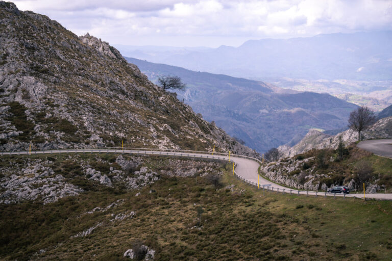
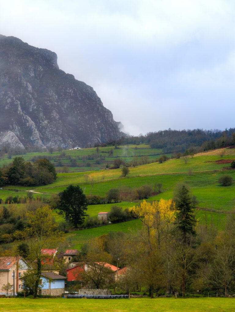
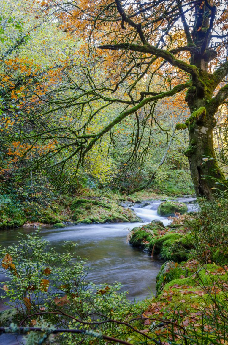
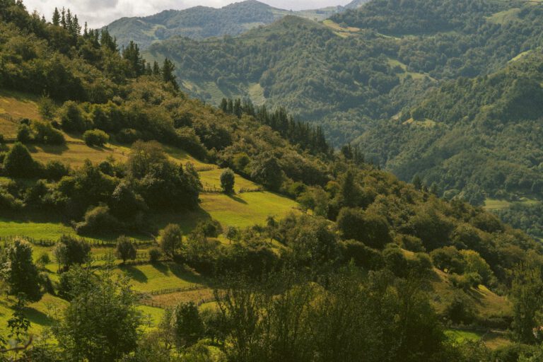
Asturias lies in the green north of Spain, between the Cantabrian Sea and the Cantabrian Mountains. Within an hour’s drive from the coast, with cliffs and fishing villages, you reach passes of more than a thousand meters high. It is rugged, sparsely populated and surprisingly green: here it rains more often than in the rest of Spain, and you can see that in the meadows, the oak forests and the mist that hangs in the valleys. For cyclists, it is the region of two of the hardest climbs of the Vuelta, the Angliru and the Lagos de Covadonga. But Asturias is much more than those two.
Why cycle in Asturias?
- Legendary climbs. The Angliru, the Lagos de Covadonga, the Gamoniteiru, La Farrapona and the Jitu de Escarandi: heavy, steep and with views that are worth the pain.
- A large network. According to Turismo Asturias, there are more than 4,000 kilometers of cycling routes for race bikes, gravel bikes, and mountain bikes. View their routes.
- The coast. About 310 kilometers of ‘rasa costera’: a coastal plain with cliffs, blowholes and pristine beaches, and a narrow gauge railway along the coast for the return journey.
- Rest. Outside of the Vuelta climbs, you drive on empty country roads, and it stays cool there even in the summer.
- The food. Fabada, cider from the bottle served from above your head, and cheeses from the mountains such as the Cabrales and the Gamonéu.
The climbs
Alto de l’Angliru
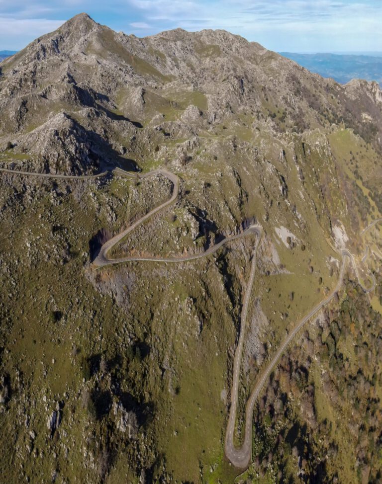
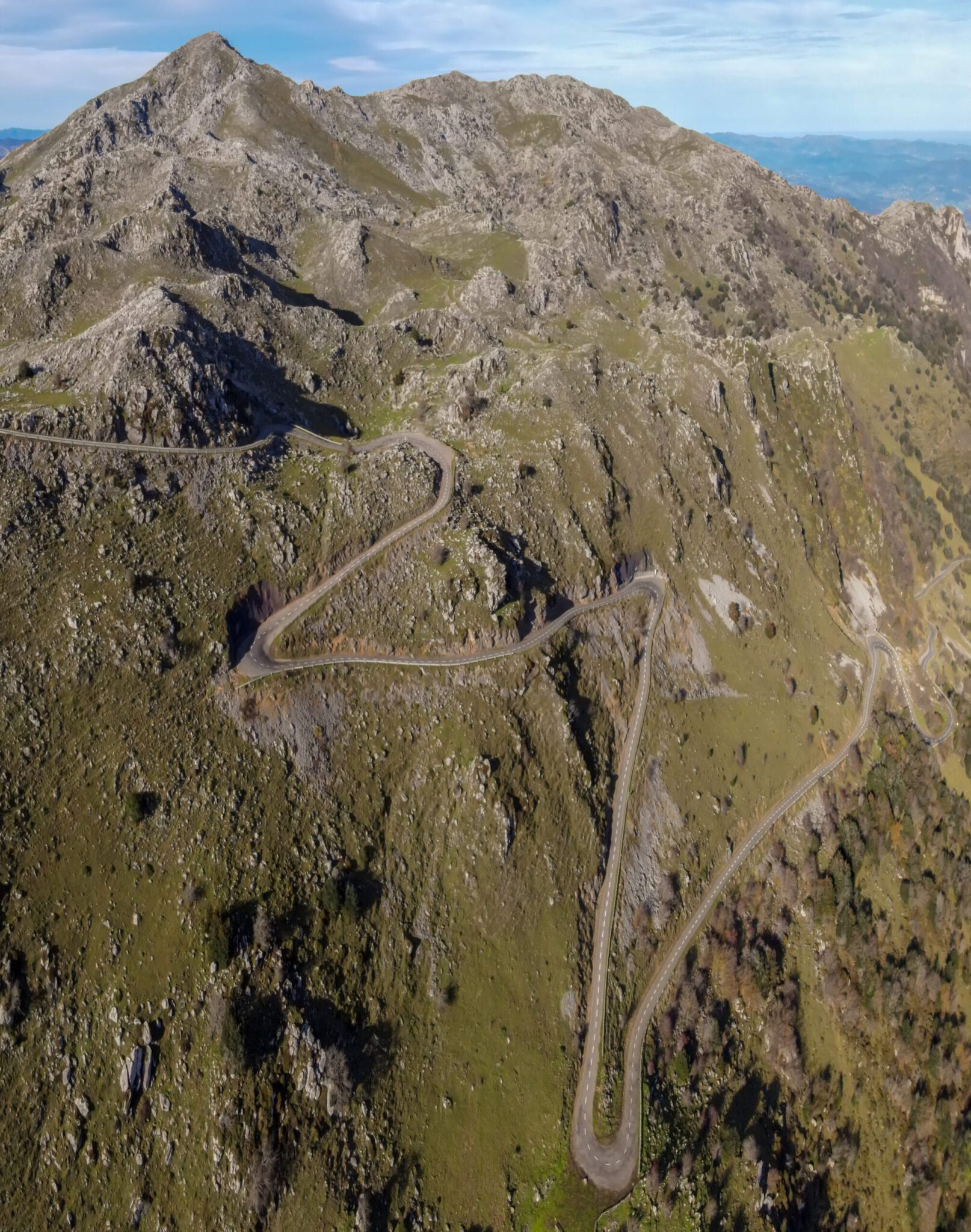
The Angliru is the king of Asturias and one of the toughest climbs in Europe. From Riosa, it is about 12.5 kilometers long with about 1,250 meters of elevation gain. The first kilometers are still challenging, there is even a kilometer of false flat ground, but the last six kilometers are notorious, with sections of more than 20 percent. The Mountain High Chasers rode it after a 70-kilometer run and disappeared in the mist halfway through: “The coffee grinder is spinning like a Senseo, a lot of noise but a meager result”. Read their Classic Ride.
Would you like to drive it yourself? Our route Welcome to Angliru It is a 74-kilometer round with 2,325 meters of elevation gain, with the Angliru as the main dish. You can find it with map and GPX download in the rides below.
Lagos de Covadonga
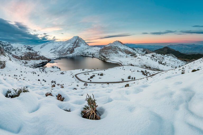
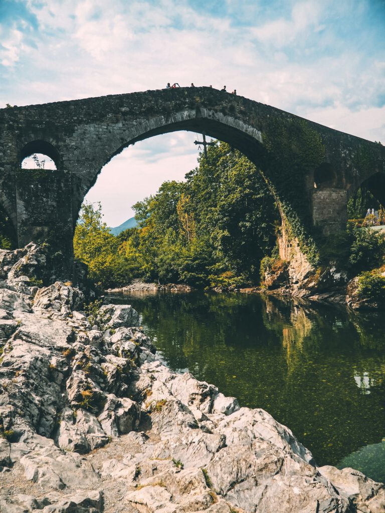
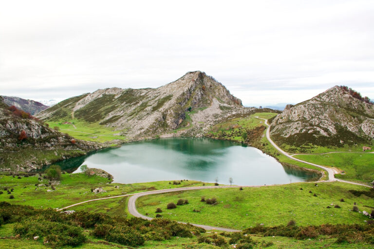
The classic stage of the Vuelta, having been included in the race 24 times since 1983. From Cangas de Onís, the climb is 19 kilometers with 1,130 meters of elevation gain, an average of just under 6 percent. But don’t be fooled: until the village of Covadonga, with its basilica, it’s a flat climb. Then follow 11 kilometers of more than 8 percent, with the notorious stretch of La Huesera, the ‘bone-crusher’: 800 meters of average 15 percent. Above, the road winds past the lakes Enol and Ercina, in the middle of the Picos de Europa National Park. According to tradition, the Reconquista began here in 722. Read our story about Lagos de Covadonga.
La Farrapona and Somiedo
In the southwest lies Somiedo, one of the most beautiful natural areas in Spain, with bears in the forests. The Puerto de San Lorenzo is here the gateway and a Vuelta classic. A tough day combines San Lorenzo with the short but steep climb to Valle de Lago and the long, beautiful climb to La Farrapona. Astur Cycling rides that round with over 2,700 meters of elevation gain.
Gamoniteiru and La Cubilla
South of Oviedo, around Pola de Lena, are the Gamoniteiru (after the Angliru, the toughest climb in Asturias, long and steep, with a final stretch that literally takes your breath away) and La Cubilla, a long climb with views over the Biosphere Reserve of Las Ubiñas-La Mesa. Together, they account for about 2,900 meters of elevation gain.
Picos de Europa: Jitu de Escarandi and Collada Barreda
In the east, around Arenas de Cabrales, you climb to the Jitu de Escarandi, long and very steep, right in the middle of the national park. The Collada Barreda, with a path hanging against the rock wall, is a hidden gem. Then drive down along the Cares river to the sea. Further along, the Collada Llomena and the Collada Amieva are located near Cangas de Onís, two steep climbs towards Ponga.
The coast and the Camino Primitivo
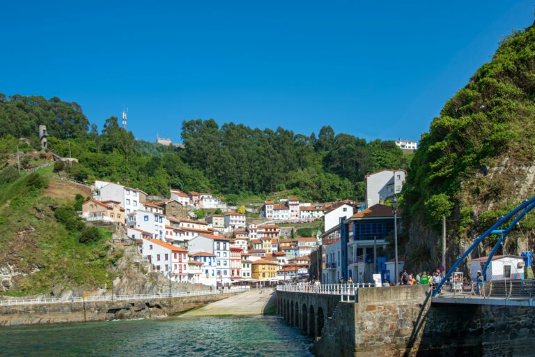
If you want to take it easy, you can drive along the coast: cliffs, blowholes (bufones), bays and fishing villages like Cudillero and Llanes. The Camino Primitivo, the oldest pilgrimage route to Santiago, starts in Oviedo and travels through the interior to Galicia; Turismo Asturias also describes the stages via Tineo and Grandas de Salime for cyclists.
Gravel and mountain bike
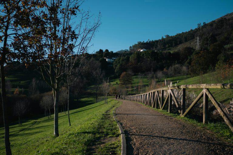
Asturias is a gravel paradise in the making. Old mining and railway lines have been converted into bike and hiking trails, such as the Senda del Oso near Proaza and the green roads (vías verdes) around Gijón. In the valleys of the Montaña Central and in the east, you’ll find endless forest trails, and for mountain bikers there are flowtrails. Turismo Asturias shares the offerings by region: from Oriente and the Comarca de la Sidra to the Oscos-Eo in the west.
Your Cycling base
- Oviedo. Beautiful old town, centrally located: the Angliru, the Gamoniteiru and the Senda del Oso are within an hour.
- Cangas de Onís. The gateway to the Picos de Europa, before the Lagos de Covadonga and the climbs in the east.
- Gijón. City by the sea, with the coast and the vías verdes, and Oviedo is half an hour away.
- Somiedo or Pola de Somiedo. For rest and the climbs in the southwest.
With guidance: Astur Cycling
If you want to have everything well organized, the local Astur Cycling guided bike tours, with a guide, follow cars and beautiful hotels. Their five routes pass all the climbs on this page, from the Angliru to the Jitu. They sleep, among other places, at the Castillo del Bosque La Zoreda near Oviedo and at Las Caldas Villa Termal, a spa resort near the city.
When are you leaving?
June and September are ideal. In July and August it is cooler in Asturias than in the rest of Spain; always expect mist and fog in the mountains.
From May to October. In June and September it is ideal: long days, not too hot and less crowded. In July and August it is cooler in Asturias than in the rest of Spain, which makes it a great summer destination. Always keep in mind rain and mist in the mountains, even in summer, and bring a rain jacket.
How do you get there?
- Aircraft: The airport of Asturias (OVD) has daily connections to Madrid and Barcelona. From Schiphol you fly via Madrid, or directly to Bilbao, and then drive for about three hours.
- Car: From Utrecht, it’s about 1,700 kilometers via France. A nice road trip, divided into two days.
- On the spot: With a rental car you are the most flexible. The ALSA bus and the train connect the major cities.
This is how we calculate: We calculate distances and travel times starting from Utrecht. Our flights always depart from Schiphol, Rotterdam The Hague Airport or Eindhoven Airport. Want to know how to travel from your place of residence the best way? Let us know, We are happy to help you. After all, we built this site together.
Are you flying? Read our guide Flying with your bike: Which airline, what the cost is and how to pack your bike.