
Submitted by Dorien Cramer, A cyclist from our community
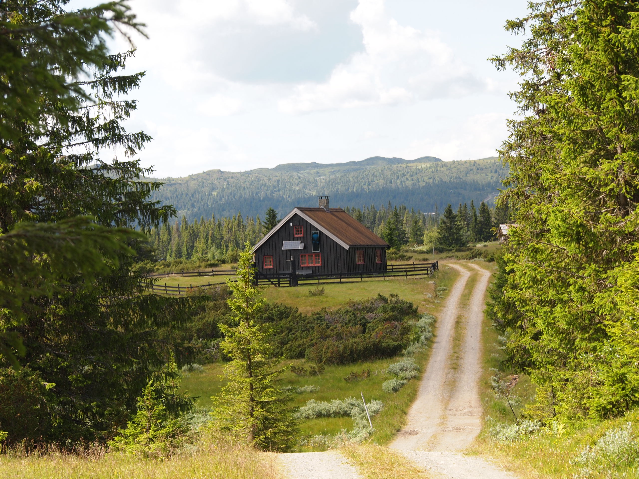
The gravel road winds its way through the distance. Every time I turn a corner, the view amazes me and the endlessness of this area. From the bike, I can already see the snowy peaks of Jotunheimen. How vast and vast is this place that I can cycle on unpaved roads for hours on end and still haven’t reached the end?
Norway calls
Almost every summer holiday, Sandra (my wife) and I take the bikes to go away for a few weeks. Norway has been on our wish list for a while, so we decided to explore the country with the gravel bike during July. I made the route for our three-week cycling trip based on the tips on the websites CycleNorway and VisitNorway. One of them is really focused on (gravel) biking, and the other gives great tips for visiting places when you want to step out of that endless nature once in a while. Visitnorway also reported on the bike paths that you really shouldn’t miss when visiting Norway. Therefore, I added the Peer Gyntvegen and the Rallarvegen to our wish list. This results in a round of about 900 kilometers. From Oslo, we will head north to Randsverk – the northernmost point of our cycling trip. After that, we travel southwest, via the tourist resorts of Beitostolen and Geilo, towards Kongsberg, to return to Oslo in more urbanized areas for the last two days.
Like getting off the boat on a bicycle
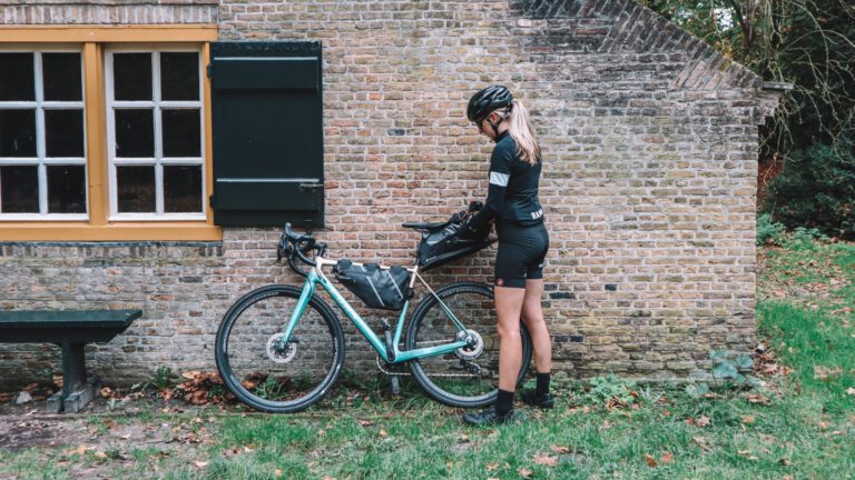
On the first Tuesday morning of July, at 10:00 am, we take our bikes out to the boat in the Oslo harbor. We find a spot along the roadside to check the confirmation of our bags one more time. While we are lathering up with sunscreen, we borrow a bike pump from a group of friends who are going on a multi-day bike trip, but apparently didn’t bring a bike pump… At times like this, I’m always glad that I’m the type of person who says ‘I’d rather have too many things and bike heavier, than leave that one essential product at home’.
The capital is quiet and with clearly marked bike paths, it feels very safe to start our bike tour here. Within ten kilometers we reach the last supermarket in the city where we can buy groceries, before we cycle into the nature. I knew the country was a bit more expensive, but I still have to get used to the prices in the shops. Well, I don’t eat a lot of meat, but here I decide that it’s better for the wallet (and maybe the mood?) to be a complete vegetarian for this holiday. Shopping takes a long time because everything is unfamiliar, but with a well-stocked grocery bag, the adventure can finally really begin. Into the nature.
Although I did my best at home to come up with a nice route, we sometimes adjust the trails along the way. There is a heatwave in Europe, and in southern Norway it is laying an unpleasant warm blanket over us. The gravel paths are beautiful, but in these conditions we prefer to climb on easier asphalt. Because the roads are relatively quiet and the average Norwegian takes cyclists very seriously, it doesn’t make much difference to our experience.
After a few days of cycling and camping in the rhythm, my body is slowly getting used to the many hills that Norway has to offer. In the Netherlands, I certainly did some cycling in the run-up to this cycling holiday, but Groningen is and remains flat. Also, the terrain that we call ‘gravel’ at home is not comparable to the beautiful gravel paths of this Scandinavian country. Where it remains mostly sand and shell paths at home, here it is loose stones that you can easily slide over. Unless you go uphill, because then there are quite a few steep climbs of over 10% and the ‘sofe’ is gone.
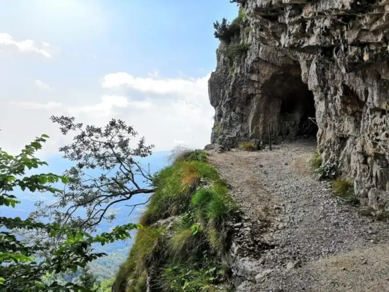
After a week on the bike, one of the highlights of the route begins at Skei: the short but very noteworthy Peer Gyntvegen. It is a sixty-kilometer route on a mountain road that is only open during the summer months. Due to its location, you can enjoy breathtaking views from afar.
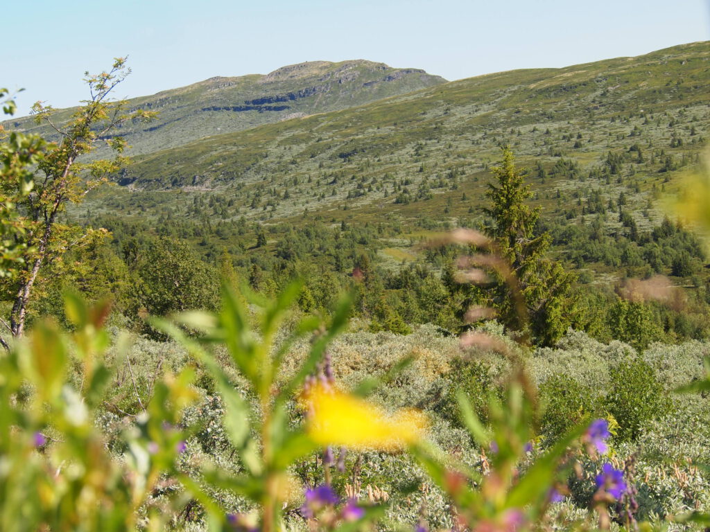
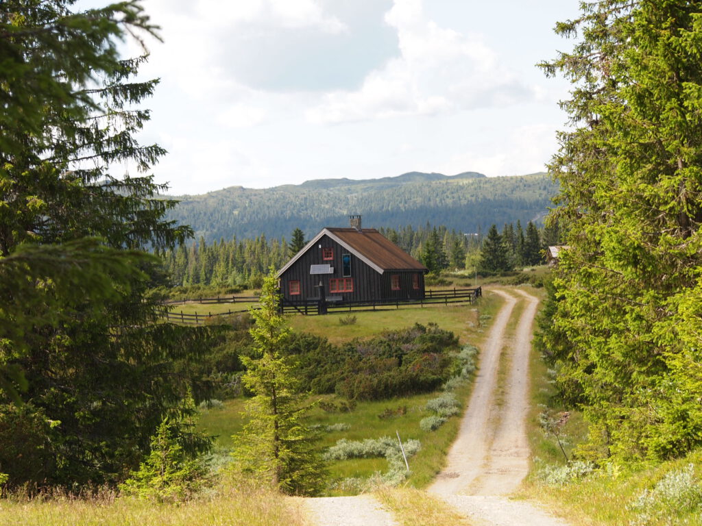
After a breakfast of yogurt with muesli, we get on the bike. Through a park with luxury holiday homes, the route takes us over a beautiful and wide path up the hills. There is little high vegetation and I see mostly flowers, shrubs, grasses and several colors of moss around me. The variety of greenery is beautiful to see and I step off the bike several times to take photos with my camera. Occasionally a car passes by or we are greeted by a cyclist who comes towards us. It is clearly a popular area for outdoor sports, because we see several parking spaces and signs indicating hiking trails. Due to the vastness, it still feels peaceful. The people disappear into the vast landscape.
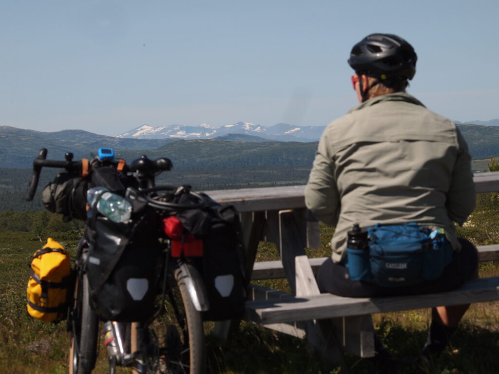
At a lookout point, we take a seat on a picnic bench and enjoy the views. Below us lie clear blue lakes; a few colored canoes betray that there must be a hotel or mountain hut nearby where you can apparently rent these. Looking northwards, we see the first snow-capped peaks of the Jotunheimen National Park on the horizon. That completes the picture.
After 60 kilometers, unfortunately the route is already over. We descend towards Vinstra and find a nice campsite outside the town where we can set up our tent in the orchard. During our rest day, we make a trip to Ringebu where we visit one of the 28 remaining stave churches. A beautiful historical building that is a real enrichment after the days in nature.
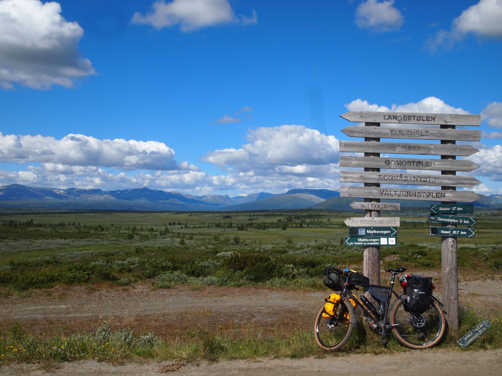
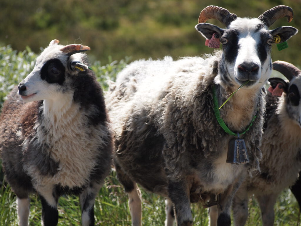
Through the Mjölkevegen we head north. Just like on the Peer Gyntvegen, we are away from the villages and towns for whole days, but the surroundings are different. We are more often surrounded by trees, see many sheep, and the views give way to a reassuring atmosphere to be surprised by the emptiness around us on the edge of Jotunheimen. The mountains on the edge of the park are covered in grass with a huge number of stones scattered across the fields. And there is also emptiness. There are hardly any trees to be seen. This variation in one day is beautiful to experience.
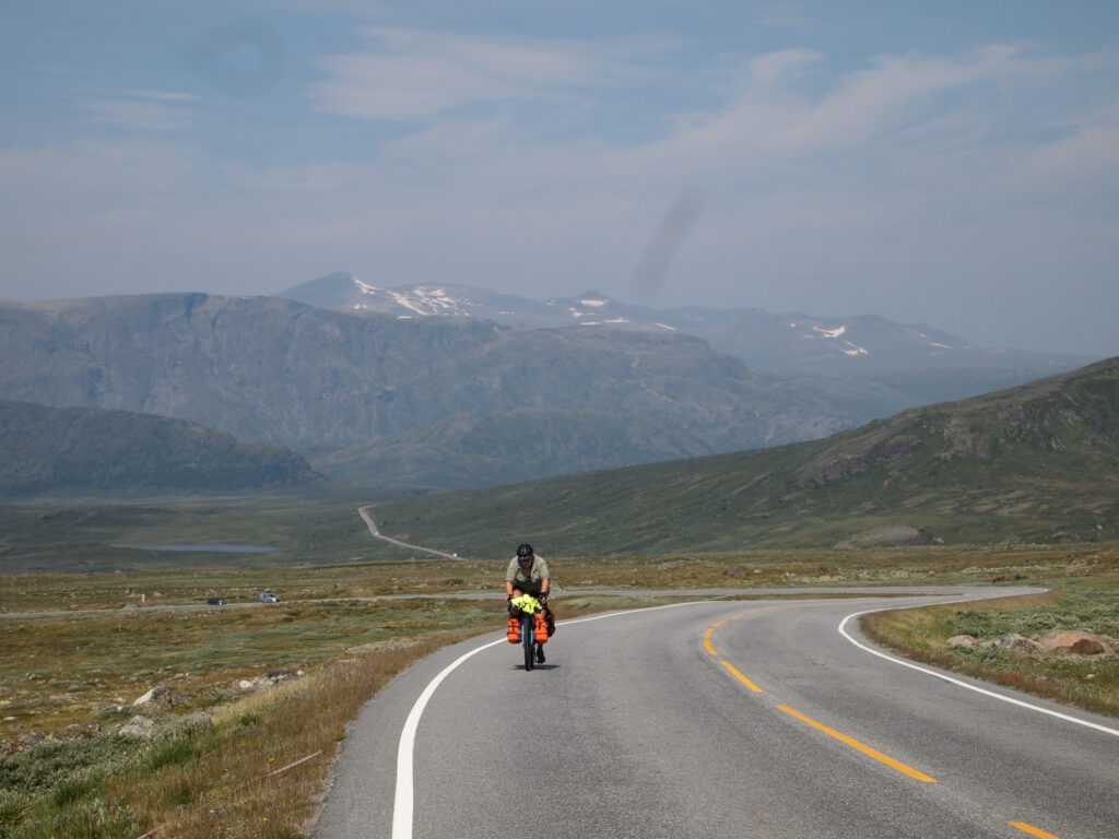
The road along the national park is busy. We haven’t seen this kind of traffic in Norway this season, and here you can really feel that you’re cycling alongside one of the most famous and popular areas. Once again, the Norwegians drive with great respect along our path, so the cycling here remains wonderful. I often stop to take photos and explore the landscape in search of reindeer. At a coffee shop earlier in the route, I was told that you have to be very lucky not to see any reindeer on this route. Unfortunately, we were unlucky; nevertheless, it’s a beautiful stage. At the highest point we have to put on a jacket to protect ourselves from the cold wind. I put a scarf over my chin and squeeze my hands tightly on the brakes. We descend quite a bit on the way to Beitostolen, the wind blows in my face and tears are in my eyes. Not only because of the wind, but also because of the magical feeling that the landscape gives me. The "house of the trolls" (the translation of Jotunheimen) makes you feel small and that the mountains and the weather determine how your day will go. That's what I like about it.
After Beitostolen, where we took a few well-deserved rest days, we head south-westwards. I suspected that by turning our backs towards Jotunheimen we would also have the most stunning views, but I was wrong. In this region it gets a bit more pleasant, but not less special. There are more flowers growing, more bees and butterflies fluttering around us, and we are still challenged with heavy climbs. Consciously we leave the Slettefjellvegen to the left because percentages of 24% in an unpaved climb are just a bit too much to ask. Nevertheless, we still climb hard and as a reward we enjoy a delicious cinnamon bun on the terrace of the Syndinstoga (mountain lodge). The sun keeps us warm while a cool wind makes us feel like we are in the mountains.
From this sunny terrace, we unfortunately have to make some phone calls as well. Sandra’s derailleur causes some nerves because one of the wheels almost falls apart. In Norway we see a lot of cyclists, but so far we haven’t seen many bike shops. Often there is an outdoor sports shop with a small assortment of necessities for the cyclist, but a derailleur wheel is a more specialized product. We call an outdoor sports shop next to the campsite where we want to camp at the end of the day. They don’t know exactly what we mean, but since they also rent bicycles, we suspect that they do have a workshop where we might be able to get help. The route to the shop is nice with narrow singletracks and our route app sometimes leads us over almost-non-existent paths. Beautiful for the experience, but not convenient if you need to be somewhere before closing time. And unfortunately, we barely manage to make it. The staff are still in the store, but when Sandra knocks on the now closed door, the lights are turned off and the store really looks like it’s locked tight. They can’t help us in the morning either, so we keep on our way, biting our teeth – will the wheel hold until Gol? – We continue our journey. Fortunately, Sandra can still cycle quite well and with a quick descent over asphalt where we reach the 65km per hour mark, we roll into the very cozy town. At the first store in Gol, we’re lucky; they have a derailleur wheel! Sandra is so handy that she can replace it herself, so we’re relieved to start our rest day.
Just a little bit of comfort
In Gol, we rent a wooden cabin to get some rest. Camping is always nice, but sitting on a normal chair and lying on the couch with a book is also pleasant. We balance things out and since cycling is easier than we thought, we decide to continue riding the Rallarvegen. It’s a stretch we can’t just include in our round. We need a train ride to fit this stretch into our route. Because you have to reserve a seat for your bike (and yourself) on the train, it’s a bit of a puzzle. We can’t start at the official start of the route in Flam, but we get off one station earlier in Myrdal. That’s no problem because that means we miss the hardest climb of the route. However, we fully experience the atmosphere of the route.
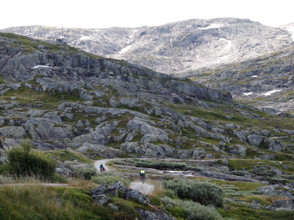
The Rallarvegen was built to transport heavy equipment for the development of the railway line between Oslo and Bergen. You will therefore encounter the railway line regularly along the 82-kilometer-long route. Furthermore, you are traveling through a wild terrain. The rocks dominate, with here and there trees, grass, and lakes.
From Finnish to Myrdal
The bike path is more challenging than the gravel paths of the past weeks, and we see more people passing by on mountain bikes, although it still goes quite well with the packed gravel bike. Between Myrdal and Finse, it is very busy with day trippers. In Finse, you can rent a bike that you return in Myrdal. You get on the train back yourself. Despite the crowds, this is a fantastic route. I love the ruggedness. It forms a great contrast with the loveliness I experienced between Beitostolen and Geilo. The highlight of the route is in Finse, where we reach the foot of the Hardanger Ice Cap (hardangerjokulen). An ice cap that is four thousand years old. From the train to Myrdal, we could see it briefly lying there, but it is truly overwhelming to be able to stand next to it now. Due to global warming, it is unlikely that the ice cap will still exist at the end of the century. The sun shines brightly and is reflected by the ice. I enjoy this magnificent natural beauty while I still can.
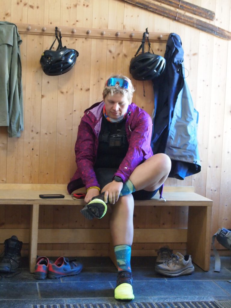
We have lunch in the mountain hut of the DNT (Den Norske Turistforening). In a mountain hut, other rules apply. At the entrance there is a hall where all guests have to take off their dirty coats and shoes and most guests then take their seats in the dining room wearing socks and thermal underwear. Although we don’t come from the untrodden paths with our packed bikes, it feels as if we can participate a little in the outdoor sports atmosphere of Norway.
From Finse, the Rallarvegen is much quieter and with a well-filled stomach, we cycle on to Geilo. We are extremely happy that we were able to add this rugged stretch to our journey, because it was such a different environment from the one we cycled through in the first few weeks.
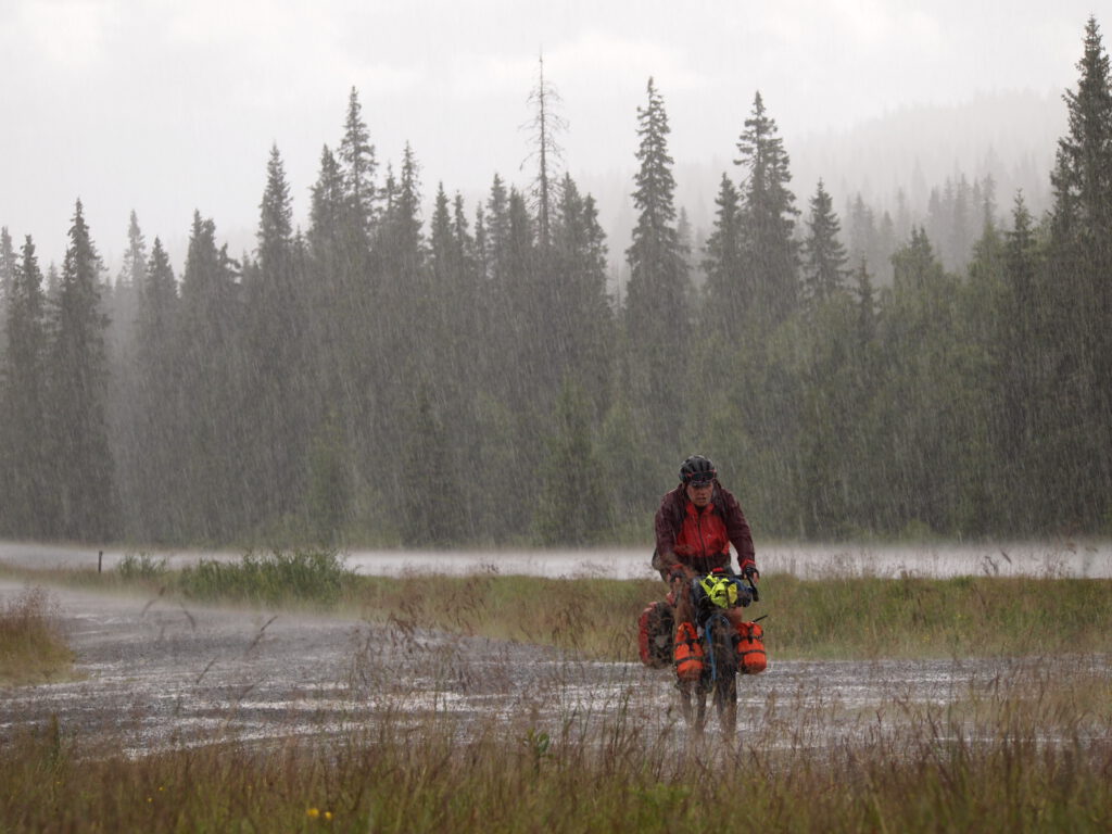
After Geilo, we continue southwards. We have had the most challenging stages of our route and we like to cycle more often on paved roads. The weather is becoming more unsettled and where it was warm the first few weeks and we didn’t really need warm clothes, we are now more often taking the rain jacket with us. We have nothing to complain about, because it is a given that it rains a lot in Scandinavia. We add the fatigue to the mix and we are taking a night’s stay in a hut more often. Fortunately, there are many places on the route that you can find without having to make a reservation. Most gravel days are behind us and in a more relaxed and easier way we are descending towards Oslo in the last few days. A bit tired and very satisfied, we arrive at the royal palace in the capital after more than three weeks of touring. A beautiful end to this wonderful journey.
It was a wonderful trip that we really enjoyed. The variety of nature, the vastness and the large areas of nature to explore were overwhelming. I loved being able to immerse myself in heavy climbs, smooth descents and whole days outside. With a little bit of reluctance, after more than 3.5 weeks I’m back on the boat heading to Kiel. Especially knowing that I’ll be coming back here again.


Questions & tips
Do you have any questions about this route, or have you been there yourself? Share them here. We read everything and usually respond within a few days.