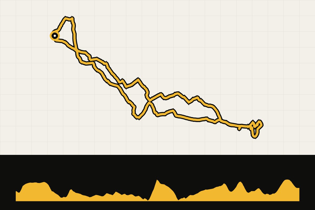
Map & elevation profile
Flemish Ardennes: the magical Wall GPX
no elevation data
| name: | no data |
| distance: | no data |
| minimum elevation: | no data |
| maximum elevation: | no data |
| elevation gain: | no data |
| elevation loss: | no data |
| duration: | no data |
A short round from Zegelsem via Nederbrakel and Zarlardinge to the Wall of Geraardsbergen.