Map & elevation profile
Font-Romeu: round via Mont-Louis and the Lake of Matemale GPX
no elevation data
| name: | no data |
| distance: | no data |
| minimum elevation: | no data |
| maximum elevation: | no data |
| elevation gain: | no data |
| elevation loss: | no data |
| duration: | no data |
Submitted by Thomas Bogaard, A cyclist from our community
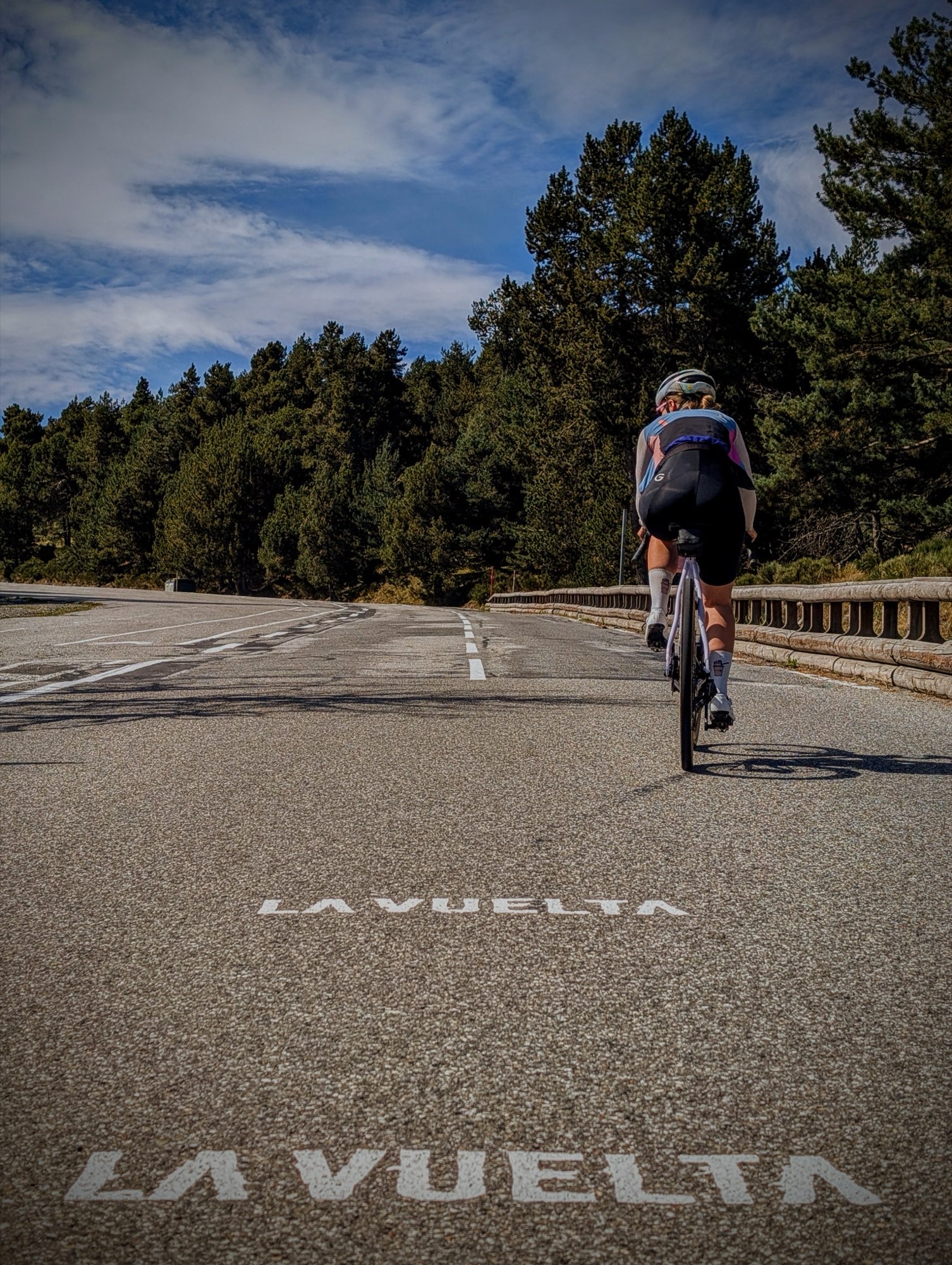
A challenging round over the plateau of the Cerdagne, in the French Pyrenees. From Font-Romeu, you drive to the fortified city of Mont-Louis and on to Lake Matemale in the Capcir. Via the Col de la Perche and Bolquère you return, and via Odeillo, with the large solar oven, and Égat you end up in Font-Romeu again. You cycle all day at an altitude between 1,500 and over 1,900 meters: the air is thin and it can even be chilly in summer. Bring a jacket.