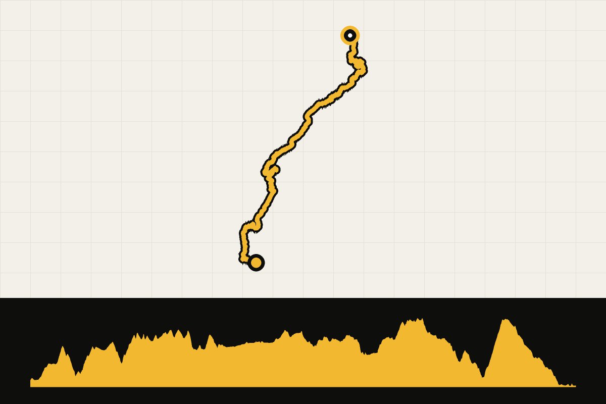
Map & elevation profile
France: Grande Traversée du Jura GPX
no elevation data
| name: | no data |
| distance: | no data |
| minimum elevation: | no data |
| maximum elevation: | no data |
| elevation gain: | no data |
| elevation loss: | no data |
| duration: | no data |
A multi-day journey of 377.8 kilometers and 5,992 meters of elevation gain, starting in Montbéliard. The GPX file contains the entire journey in one piece. This route is part of our story. You can download the GPX file on this page.
Read the full story: 5 tips for cycling in the Jura.
The journey in 4 days
Our proposal: 4 day stages of an average of about 94 kilometers each with an end point in a village or city and a separate GPX file. Adjust the layout to suit your own pace and accommodation options.
Multi-day adventure · Bikepacking
Grande Traversée du Jura in 4 days
- 4days
- 377km
- 5.440altimeters
- 94km per day
- 1
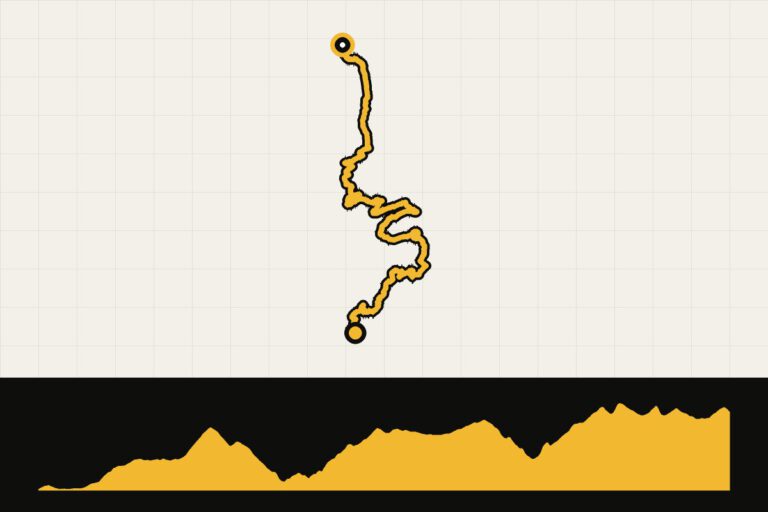 Day 1 · 87.9 km · 1,914 hmGrande Traversée du Jura – day 1: Montbéliard – Fournet-BlancherocheFrom Montbéliard to Fournet-Blancheroche.Map, profile & GPX from day 1 →
- 2
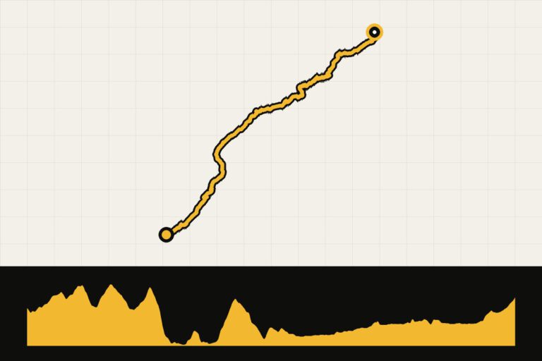 Day 2 · 86.3 km · 977 hmGrande Traversée du Jura – day 2: Fournet-Blancheroche – Remoray-BoujeonsFrom Fournet-Blancheroche to Remoray-Boujeons.Map, profile & GPX of day 2 →
- 3
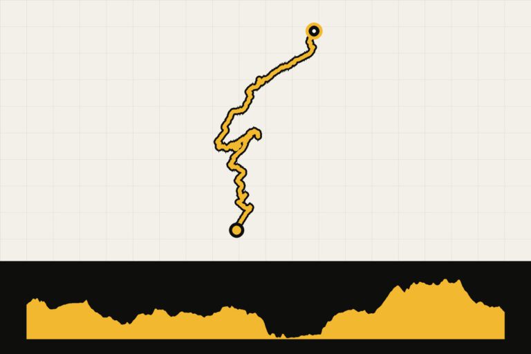 Day 3 · 107.4 km · 1,325 hmGrande Traversée du Jura – day 3: Remoray-Boujeons – MijouxFrom Remoray-Boujeons to Mijoux.Map, profile & GPX of day 3 →
- 4
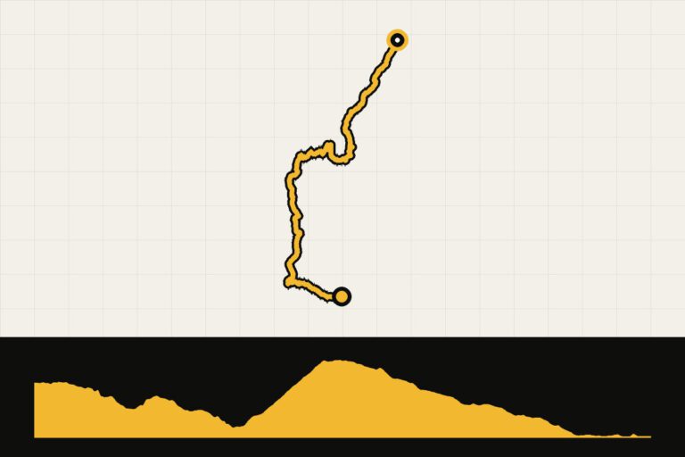 Day 4 · 95.8 km · 1,224 hmGrande Traversée du Jura – day 4: Mijoux – RuffieuxFrom Mijoux to Ruffieux.Map, profile & GPX of day 4 →