Map & elevation profile
Landal Bryn Morfydd: from the Denbigh Moors to Llyn Brenig and Alwen GPX
no elevation data
| name: | no data |
| distance: | no data |
| minimum elevation: | no data |
| maximum elevation: | no data |
| elevation gain: | no data |
| elevation loss: | no data |
| duration: | no data |
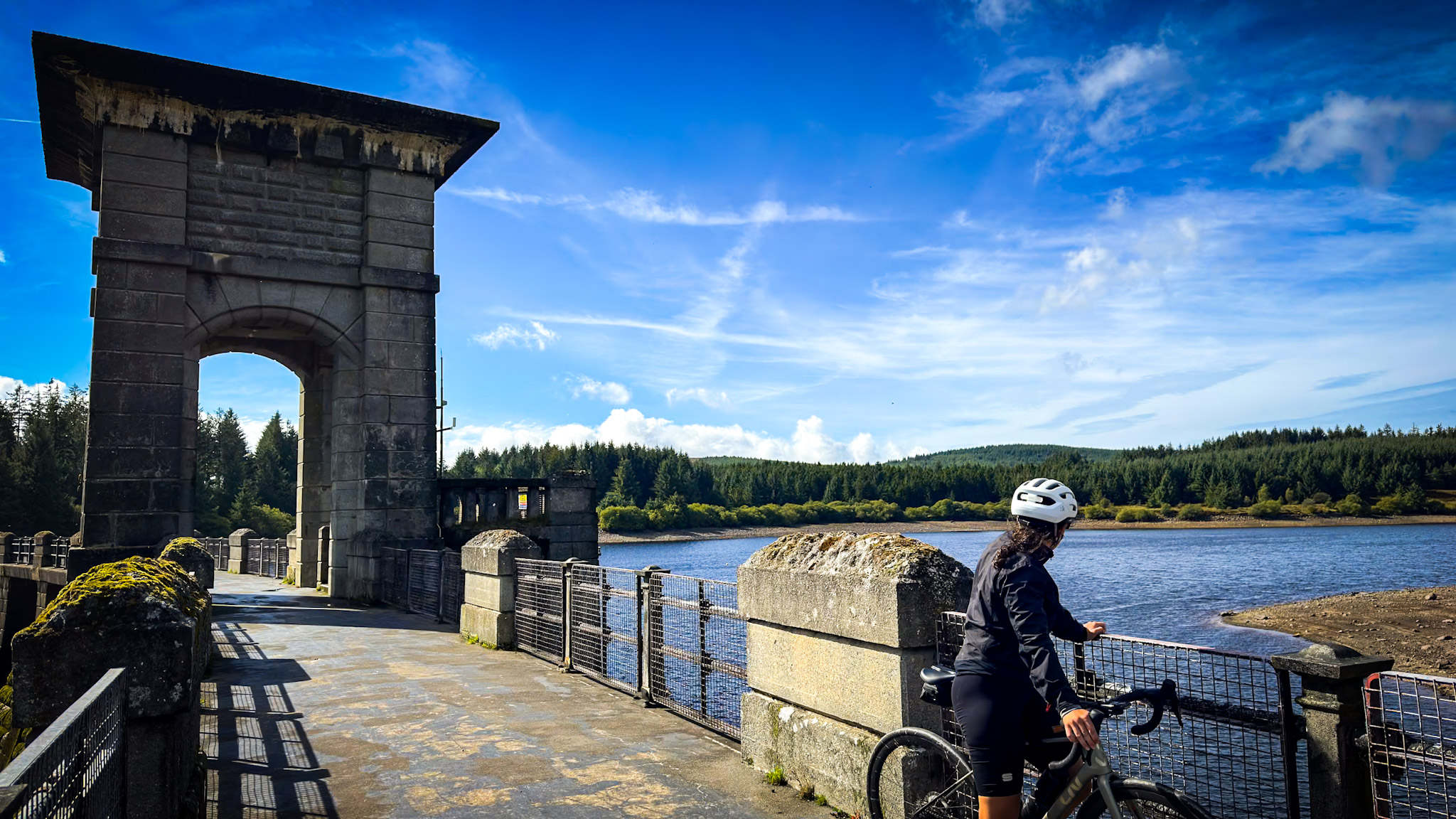
From the park, you drive through Denbigh to the Denbigh Moors. The climb out of Denbigh has a long stretch of 17%, and then follows the Road to Hell: over 11 kilometers uphill over a barren plateau full of heather, often with strong winds. The reward: Llyn Brenig and the Alwen Reservoir, with a dam that almost feels Scandinavian. Plan a stop at the Llyn Brenig visitor center; the restaurant has a beautiful view over the lake.
Read the full story: Landal Bryn Morfydd: your base camp for the Tour de France in Wales.