Map & elevation profile
Landal Bryn Morfydd: Horseshoe Pass, Clwydian Range en Dee Valley GPX
no elevation data
| name: | no data |
| distance: | no data |
| minimum elevation: | no data |
| maximum elevation: | no data |
| elevation gain: | no data |
| elevation loss: | no data |
| duration: | no data |
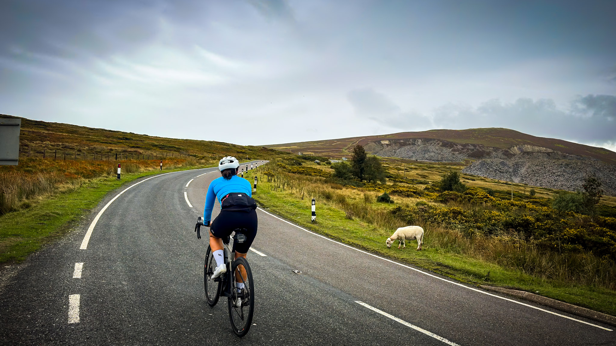
Pittige racefietsronde vanuit Ruthin, op een kwartier van Landal Bryn Morfydd. Je klimt de Clwydian Range over en daalt af naar de Dee Valley bij Llangollen. Daarna gaat het over de Horseshoe Pass weer terug: grijze leisteen, kale heide, gaspeldoorn en schapen, met bovenaan uitzicht over de Dee Valley en de kliffen van World's End.
Read the full story: Landal Bryn Morfydd: your base camp for the Tour de France in Wales.