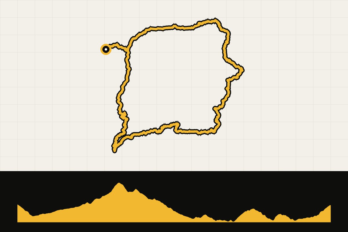
Map & elevation profile
Berguedà: a tour around the reservoir of La Baells GPX
no elevation data
| name: | no data |
| distance: | no data |
| minimum elevation: | no data |
| maximum elevation: | no data |
| elevation gain: | no data |
| elevation loss: | no data |
| duration: | no data |
Submitted by Thomas Bogaard, A cyclist from our community
A round from Guardiola de Berguedà through the mountain landscape of Berguedà. You drive via Sant Julià de Cerdanyola to La Pobla de Lillet, and over the hills to Borredà and Vilada. Then you follow the reservoir of La Baells to Berga, and via Cercs you drive back to Guardiola. With almost 1,300 meters of elevation gain, it’s a tough ride, but the roads are quiet and the views of the Pyrenees make up for a lot of it.