Map & elevation profile
Zuid-Tirol bikepacking – Dag 1: Innsbruck – Gossensass GPX
no elevation data
| name: | no data |
| distance: | no data |
| minimum elevation: | no data |
| maximum elevation: | no data |
| elevation gain: | no data |
| elevation loss: | no data |
| duration: | no data |
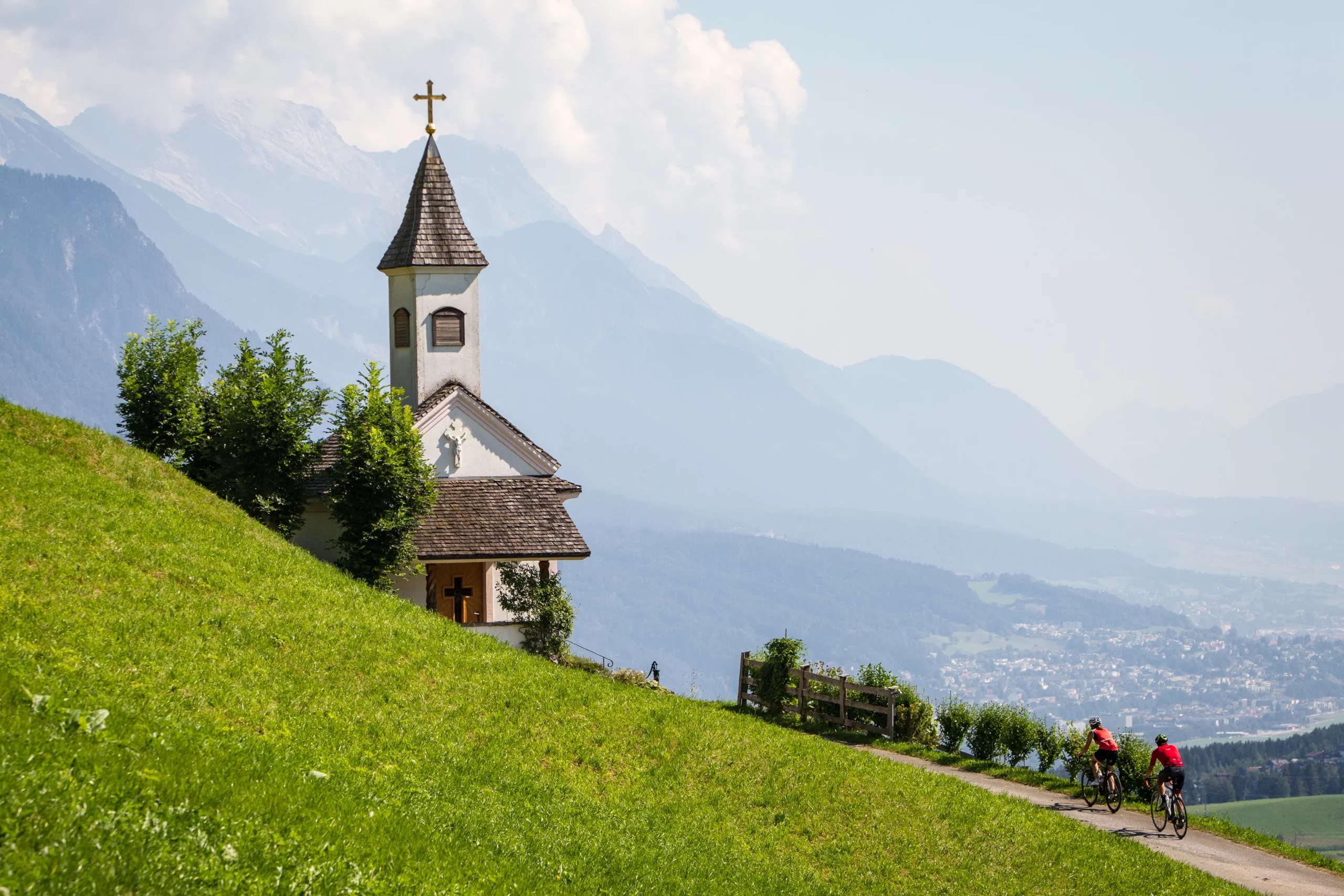
Je vertrekt midden in Innsbruck en klimt via bos- en almwegen het Wipptal in, richting de Brenner. Hoog boven de pas, op ruim 2.200 meter, steek je off-road de grens over naar Italië, waarna een lange afdaling je naar Gossensass (Colle Isarco) brengt. Meteen een stevige openingsdag met meer dan 2.000 hoogtemeters.
Source: komoot.com.