Map & elevation profile
Zuid-Tirol bikepacking – Dag 3: Jaufental – Meran GPX
no elevation data
| name: | no data |
| distance: | no data |
| minimum elevation: | no data |
| maximum elevation: | no data |
| elevation gain: | no data |
| elevation loss: | no data |
| duration: | no data |
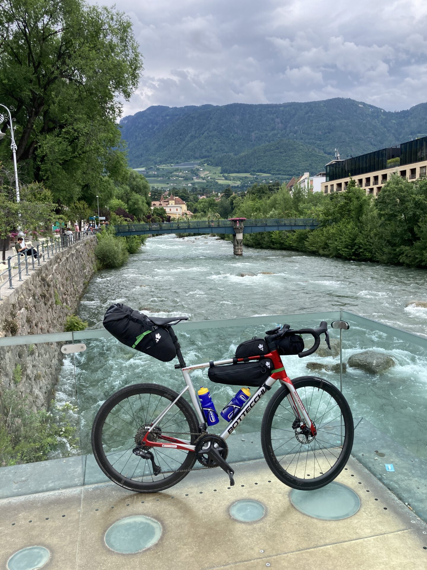
Vandaag ga je over de flank van de Jaufenpas, net boven de 2.000 meter, en dan volgt de mooiste afdaling van de tocht: ruim 2.000 meter omlaag door het Passeiertal, langs Sankt Leonhard naar Meran. Van almen naar appelboomgaarden en palmbomen in één middag.
Source: komoot.com.