
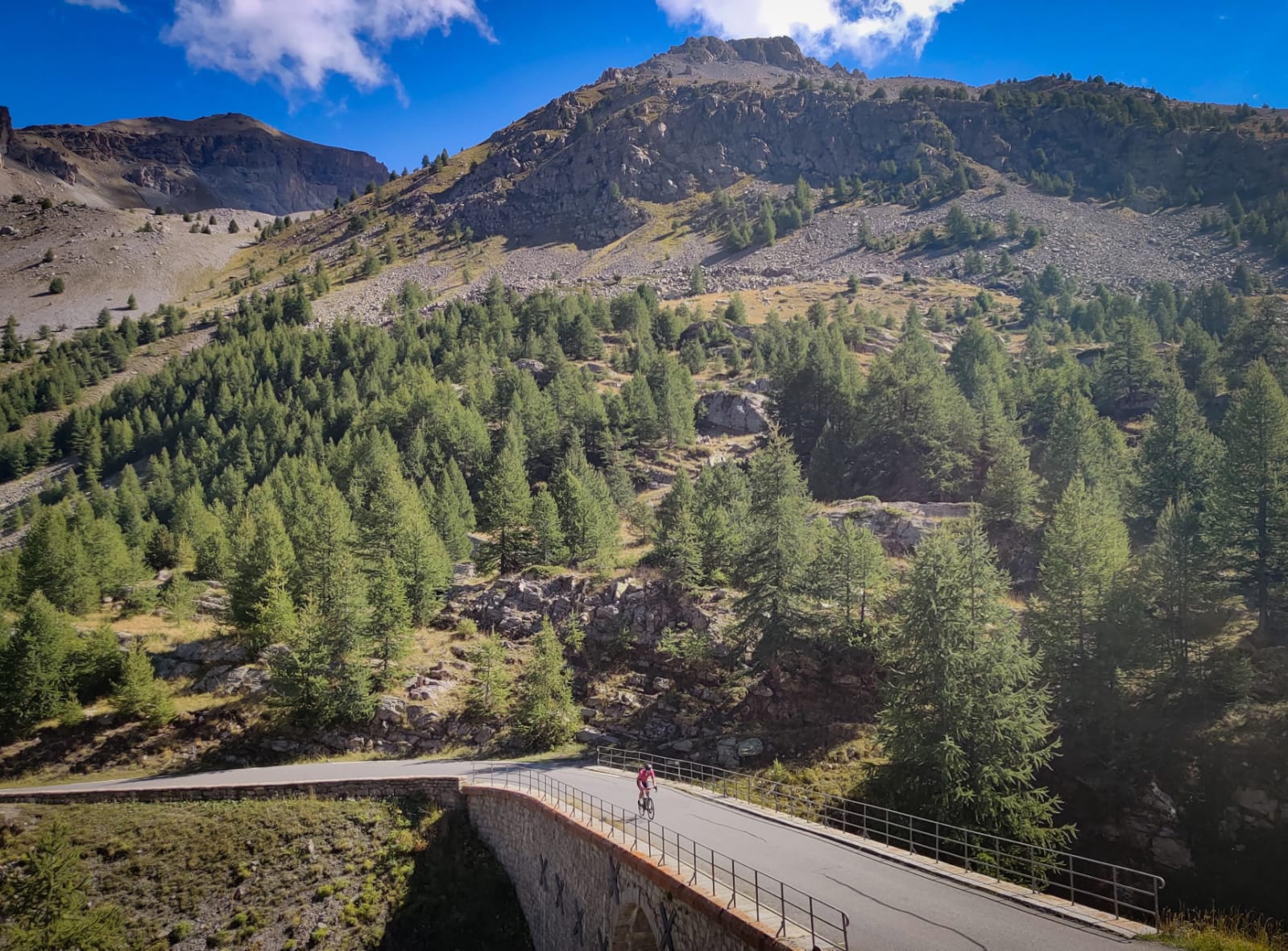
For Cycling Destination, Erwin and Erwin from the Mountain High Chasers will be taking you along the most beautiful, classic climbs and routes in Europe (and who knows, maybe even beyond). We’ve already received some great content about the Mont Ventoux, the Angliru and Galibier. Each one of them is beautiful and it just won’t stop. Now again, the beautiful Col de la Bonette is truly a Classic Ride, if you ask us.
Photos and text: Erwin and Erwin // mountain high chasers
Barcelonnette
A classic, quiet, French village where four old men sit in the square in front of the church and reminisce about yesterday. A little further on, two ladies with a baguette under their arm are walking towards their home. Have you got the picture? Now, when you look up, you will always see a giant of the Alps, whether you look north, west, east or south! Barcelonnette is a true paradise for climbers (and hikers), and that is why it is more than worth the long drive. Just under 1200 kilometers from Utrecht lies this piece of paradise from which you can climb a real classic, the Col de la Bonette.
It is always dangerous to talk about the highest, longest or most difficult climb. For themselves (the signs around the climb), they consider themselves to be the highest in Europe; in fact, this is incorrect. They have, however, done everything they can to reach a (literally) breathtaking height of 2802m.
Enjoying the rolling valley
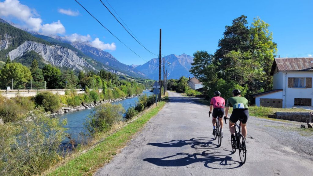
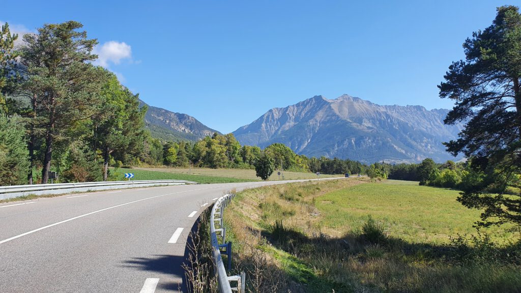
We set off on our bikes in the morning from our home in Barcelonnette. The advantage of this is that you can warm up well in the rolling valley between the alpine giants. Unfortunately, you do have to make a lot of use of the main road (D900) towards Jausiers. But when you drive wheel to wheel neatly, the motorists will be forgiving and respectful of the fact that you are cycling towards the Bonette.
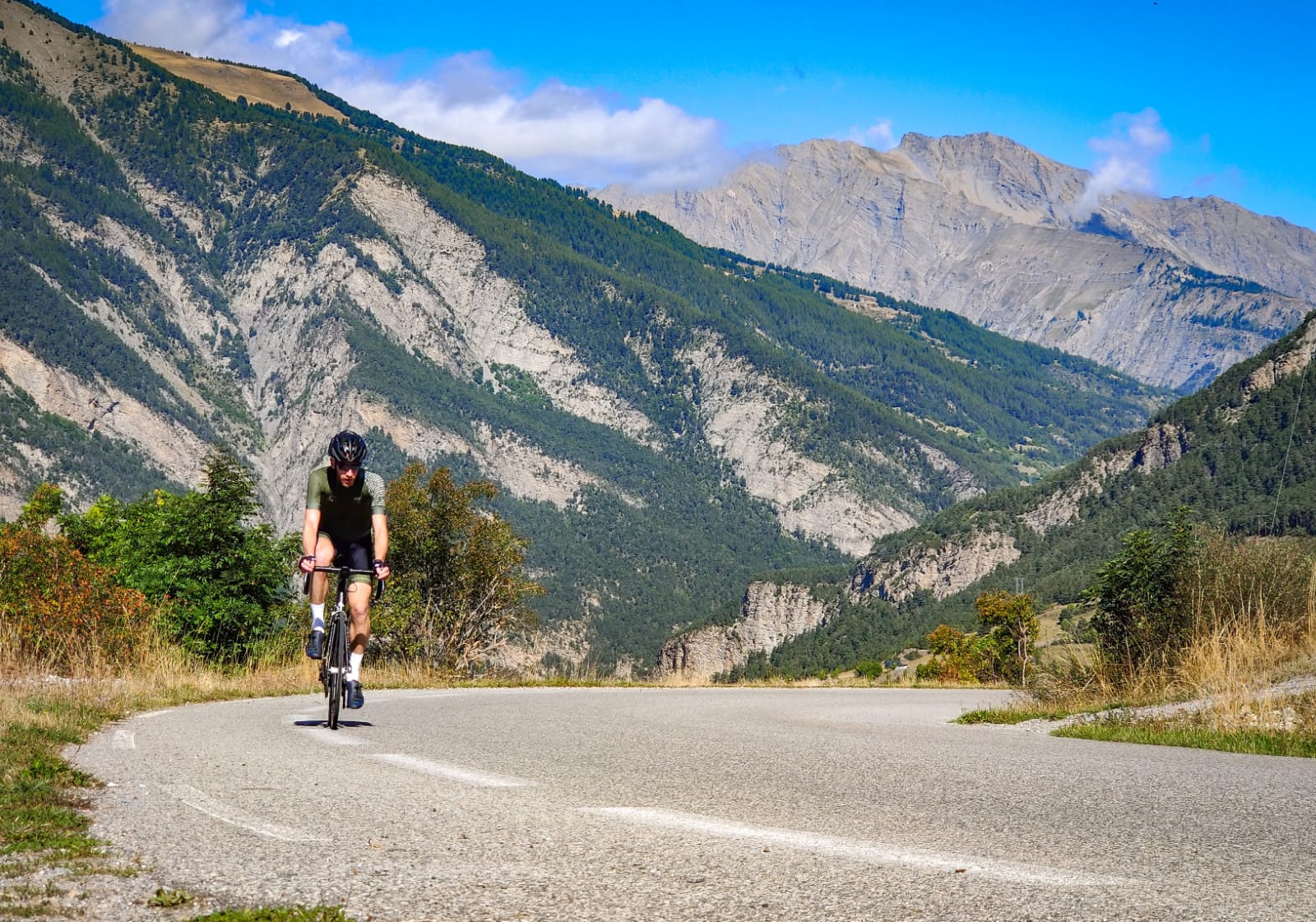
As you drive towards the foot of the Bonette, it might be a good idea to take a look at the statistics. As mentioned, the top is at a whopping 2,802 meters above sea level. This was not the case, but on the main road towards Saint-Étienne de Tinée, they built a tourist bypass around the Cime de la Bonette to get to the 2,802 meters. From Jausiers, you are 23.4 kilometers away with an average of 6.76%. You could say that it is doable, but don’t be mistaken about the length and especially the altitude. Everything above 2,500 meters is noticeable in the breathing.
Ready for the start…off
We drive through Jausiers and see the road slowly rise up. Soon we find our own pace and wish each other success. For us, today depends on more than just putting up a good performance. The Col de la Bonette is ‘one of a kind’, meaning we must not stop along the way to get a sticker in the book Mountain High.
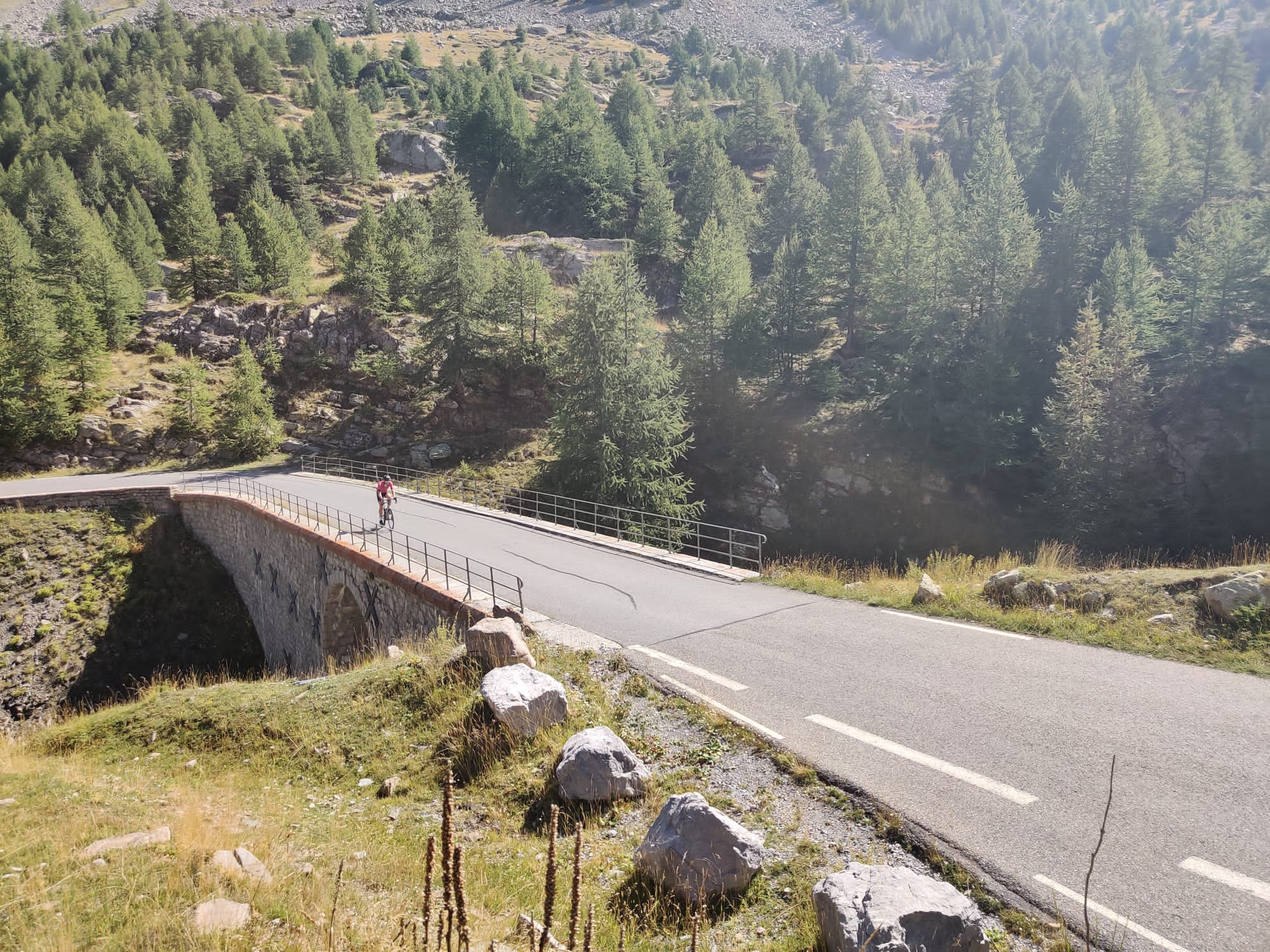
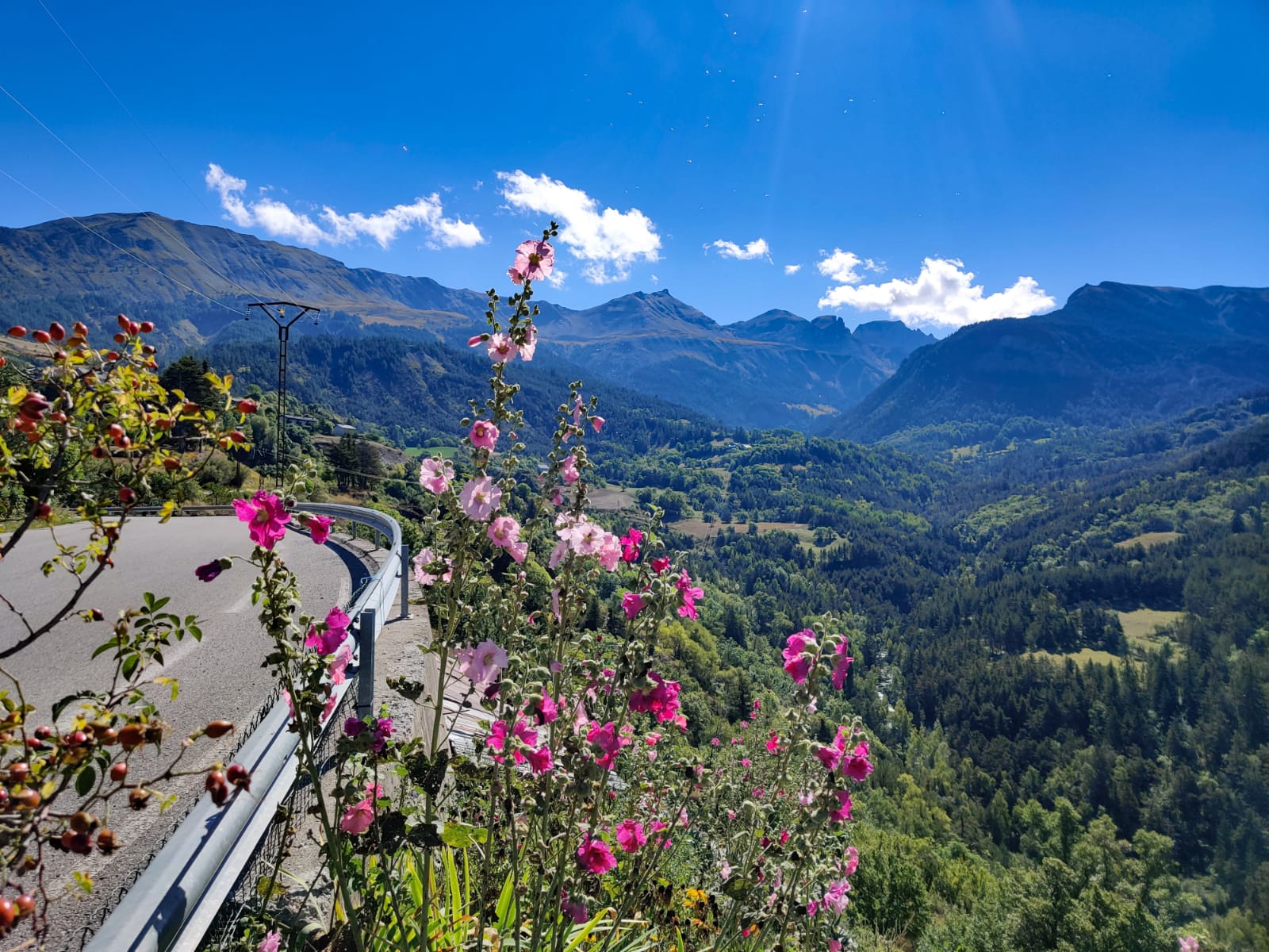
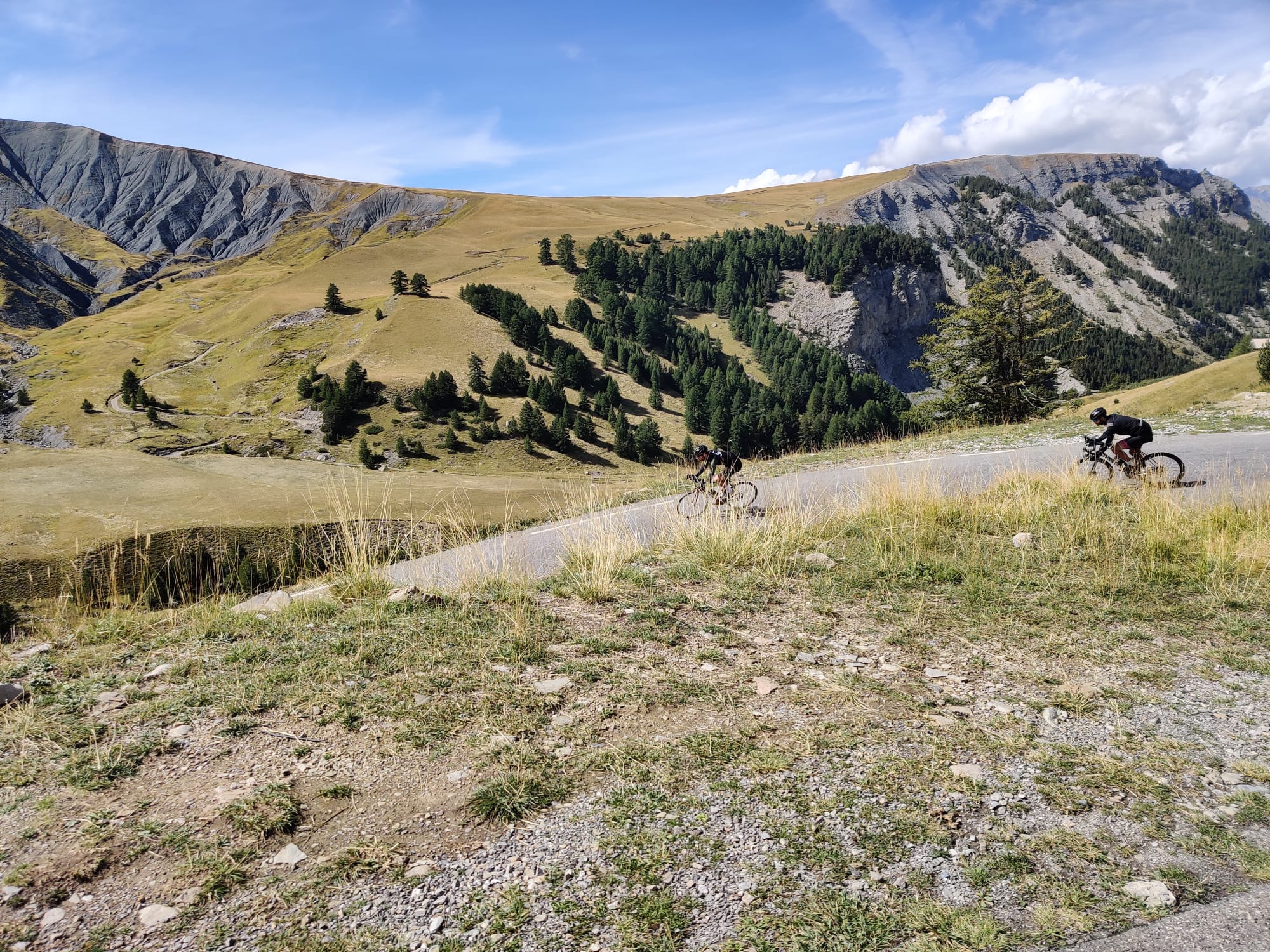
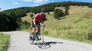
The road winds gently from left to right, with a house on the side of the road every now and then. However, this changes completely as you get a few kilometers higher. Rock formations and forests appear on all sides, and you are allowed to drive through here as a spectator on a beautifully landscaped asphalt road. We had the luxury of a follow car today, so we were able to enjoy even more without worrying about a empty water bottle or a lack of gel. If you don’t have that luxury, make sure you have enough food, drink, and warm clothing. At almost 3000m, it can be very cold even in the summer!
A col should be like a col
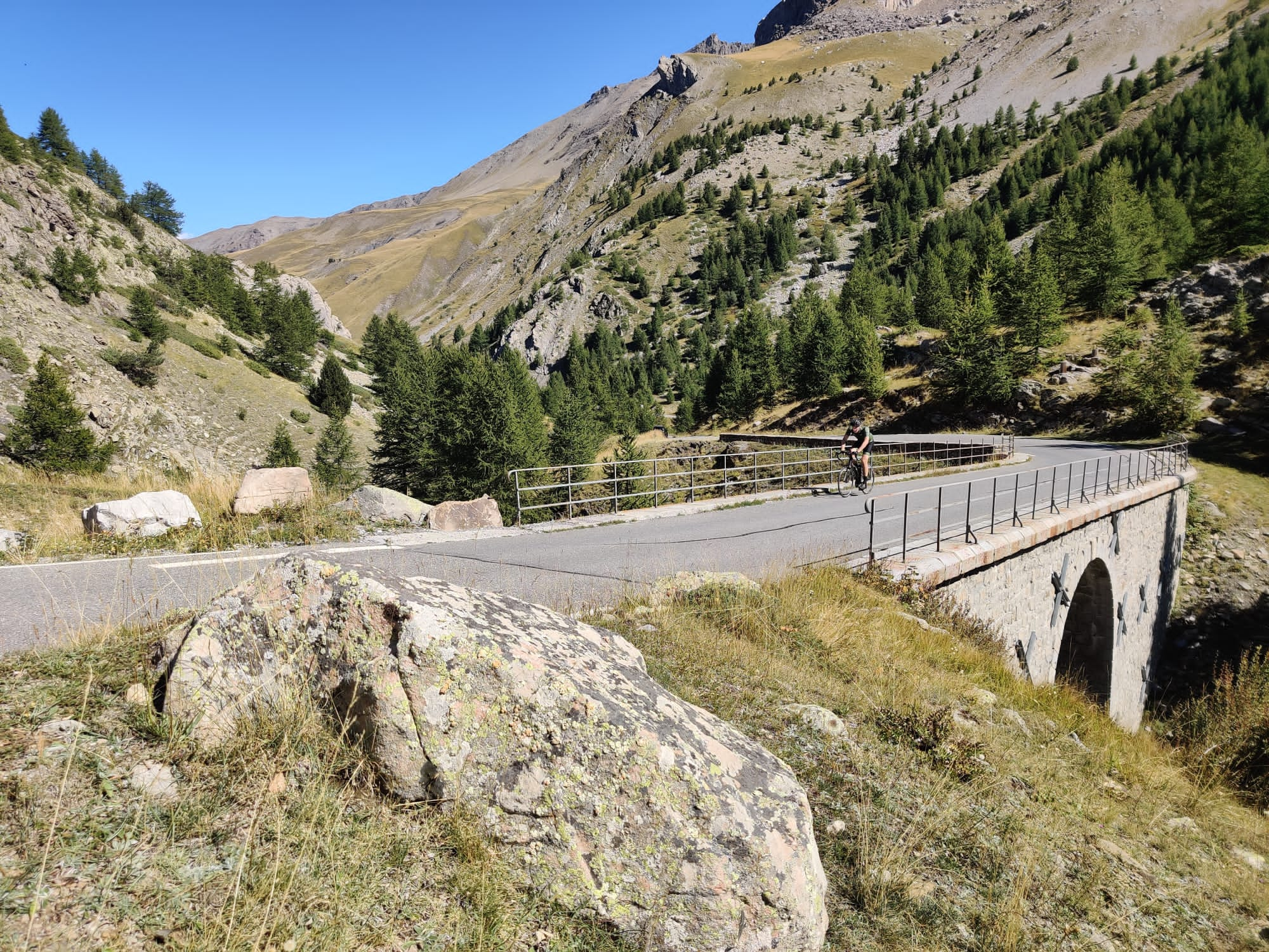
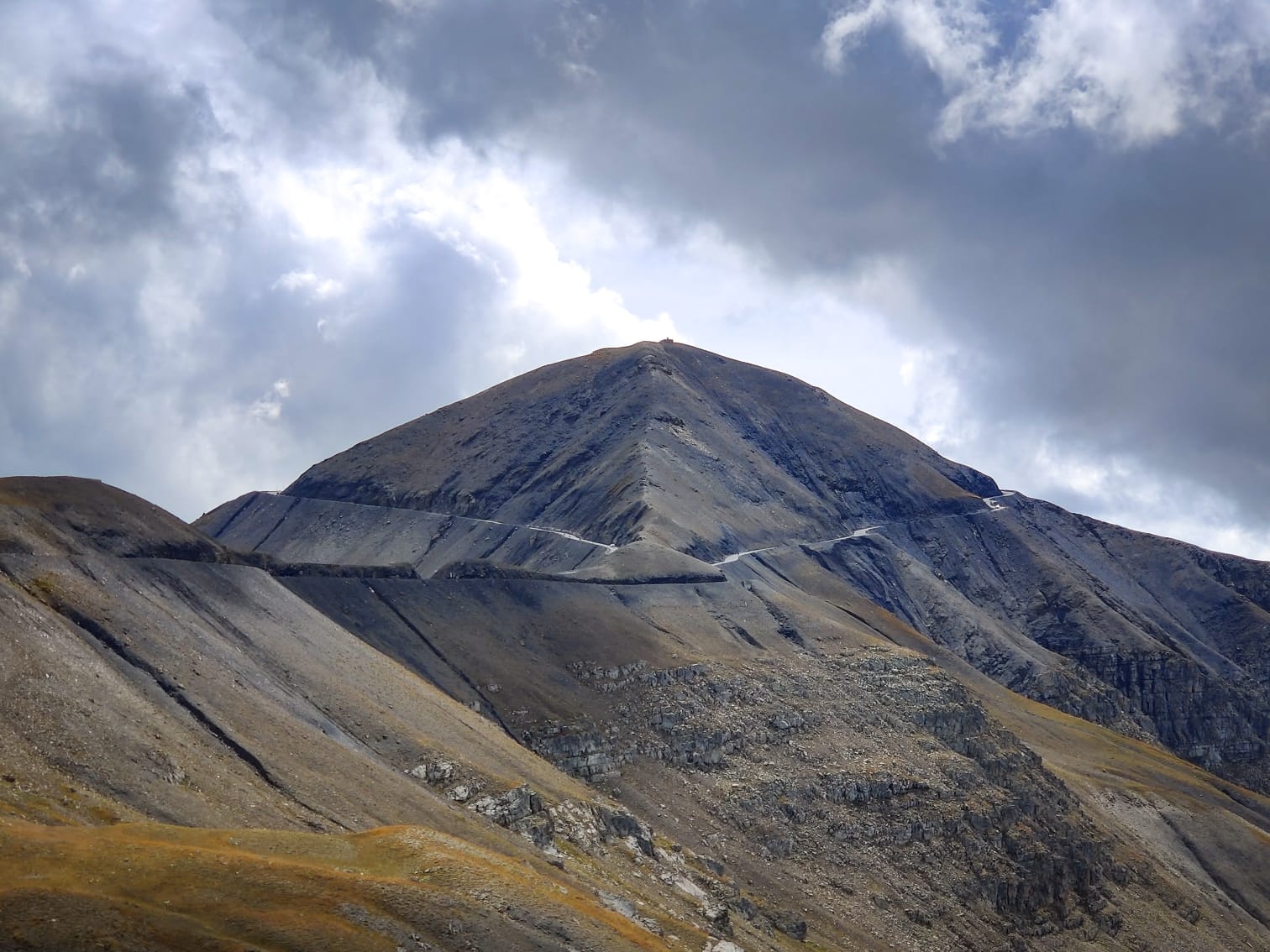
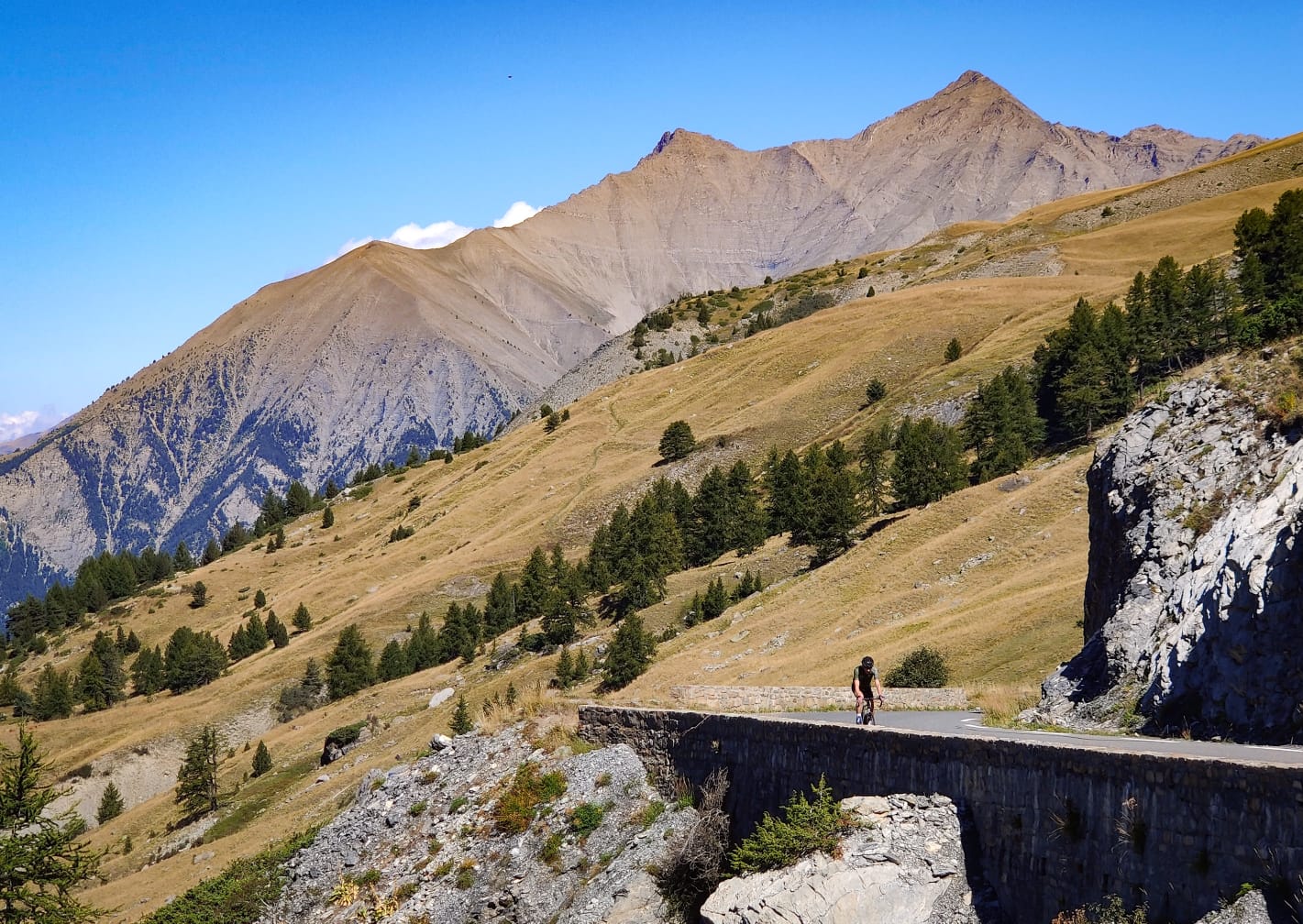
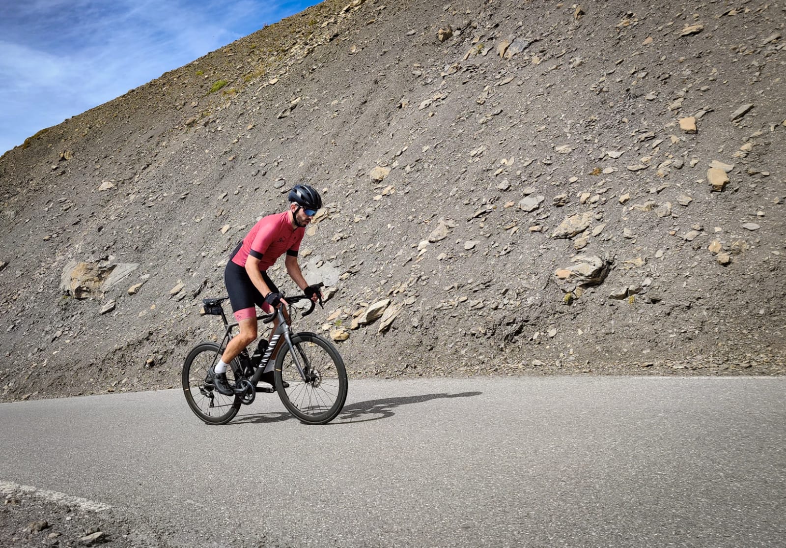
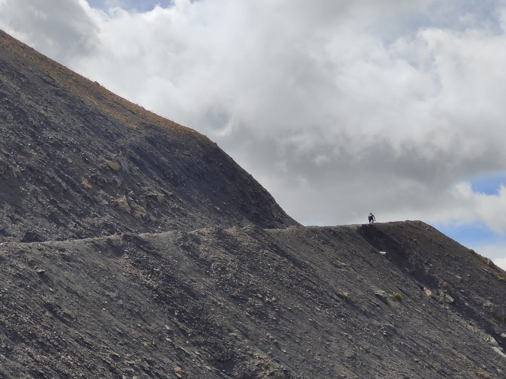
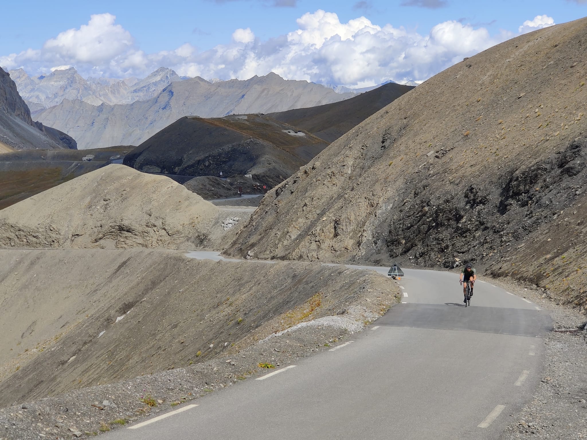
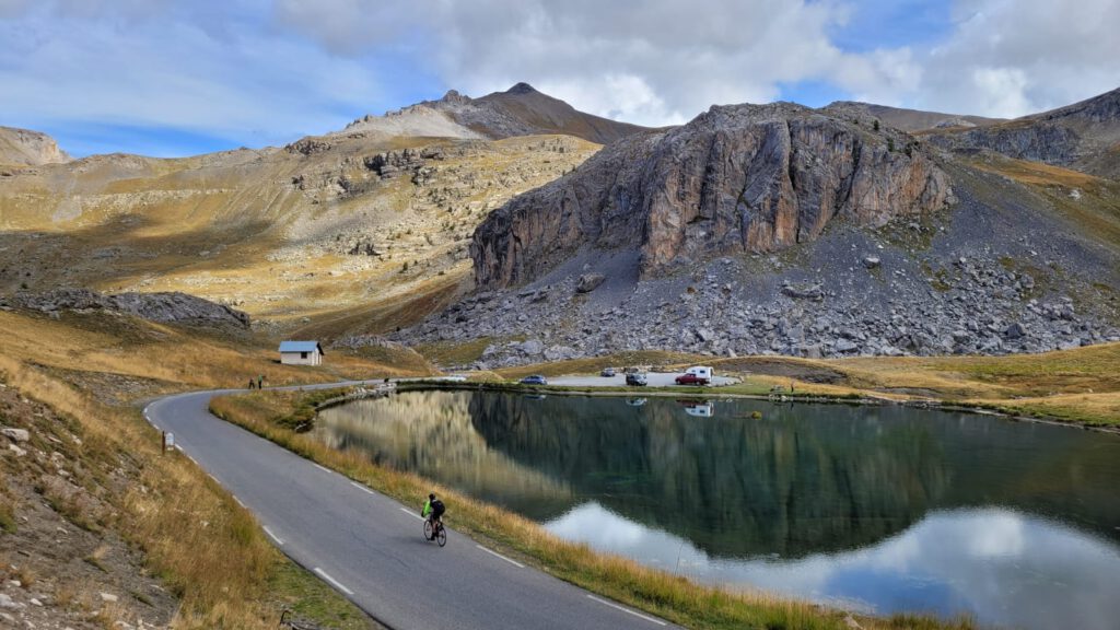
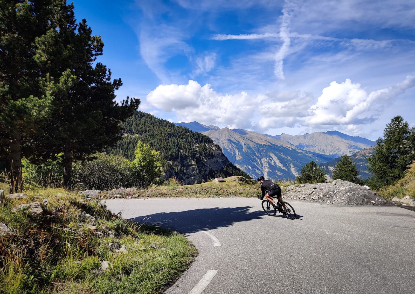
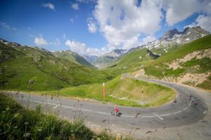
Now the trees are disappearing and giving way to vast fields and a mountain lake. What is striking about this col is that the higher you go, the better the road seems to become. As a cyclist, it is truly a pleasure. Even when the uphill percentages occasionally reach over 10%, there is plenty of diversion to be found. Originally, the col was built for military purposes. It was a continuous road for soldiers. Traces of this can still be seen through the remains of the barracks just below the top. Additionally, you are treated to some beautiful hairpin bends before you get a glimpse of the ‘Cime’. It has everything a col should have and perhaps even more!
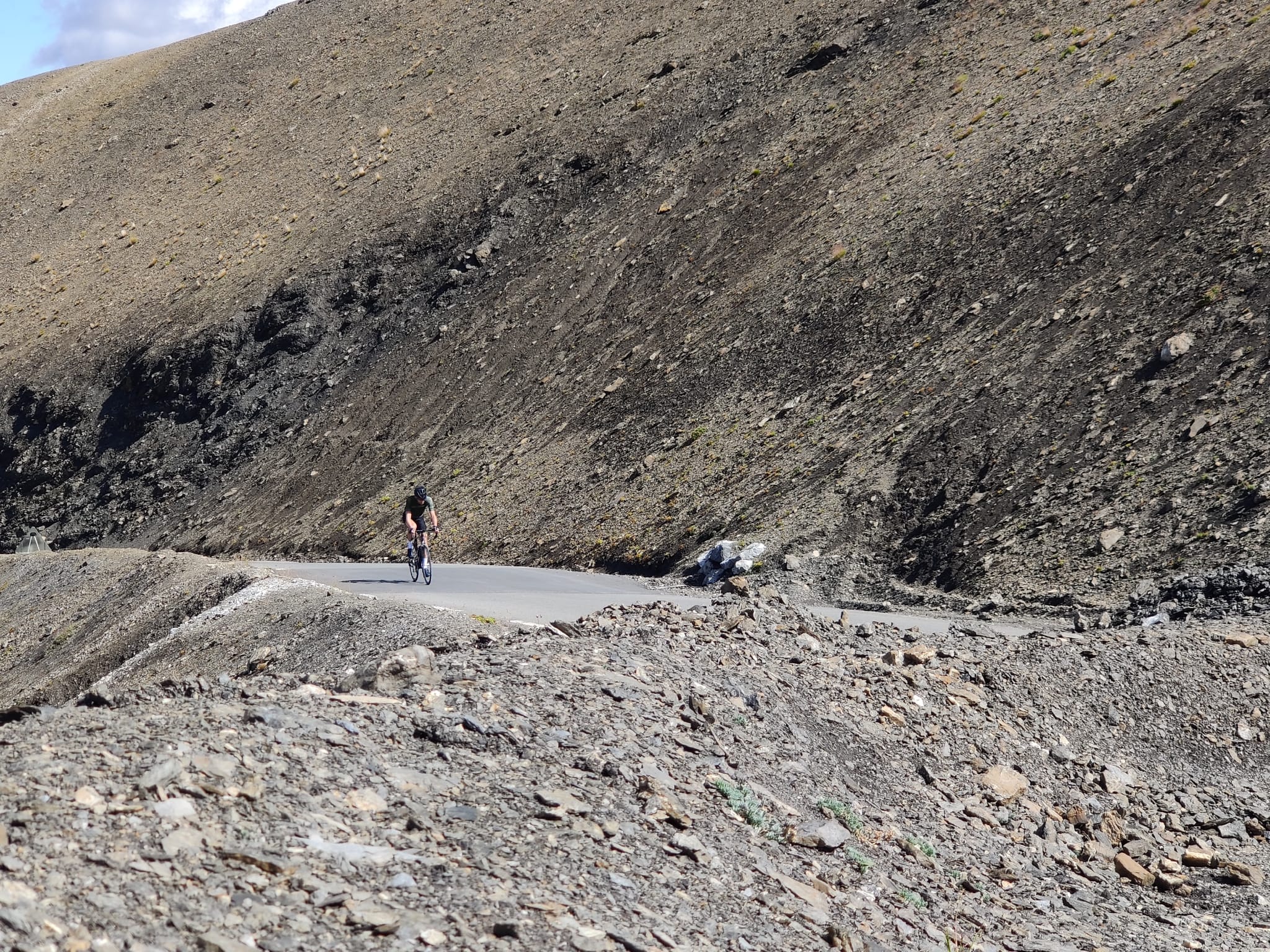
The unreal top
As the summit comes into view, the road slopes slightly and you cover about 1.5 kilometers on a stretch of steep terrain. The wind can play a significant role here, but the view is truly fantastic! As a curious fact, you end up at a junction; as mentioned, it is a continuous road towards Saint-Étienne de Tinée. But to reach the summit, you take the tourist loop towards the summit. After all the natural elements, you can now really take a break! On the barren summit, there is a 15% -meter-long stretch where very likely many tourists will stand to shout at you, and that’s exactly what you need! The air, the time you’ve already been climbing and perhaps the wind make cycling almost impossible, but let the adrenaline flow freely, because the reward is great!
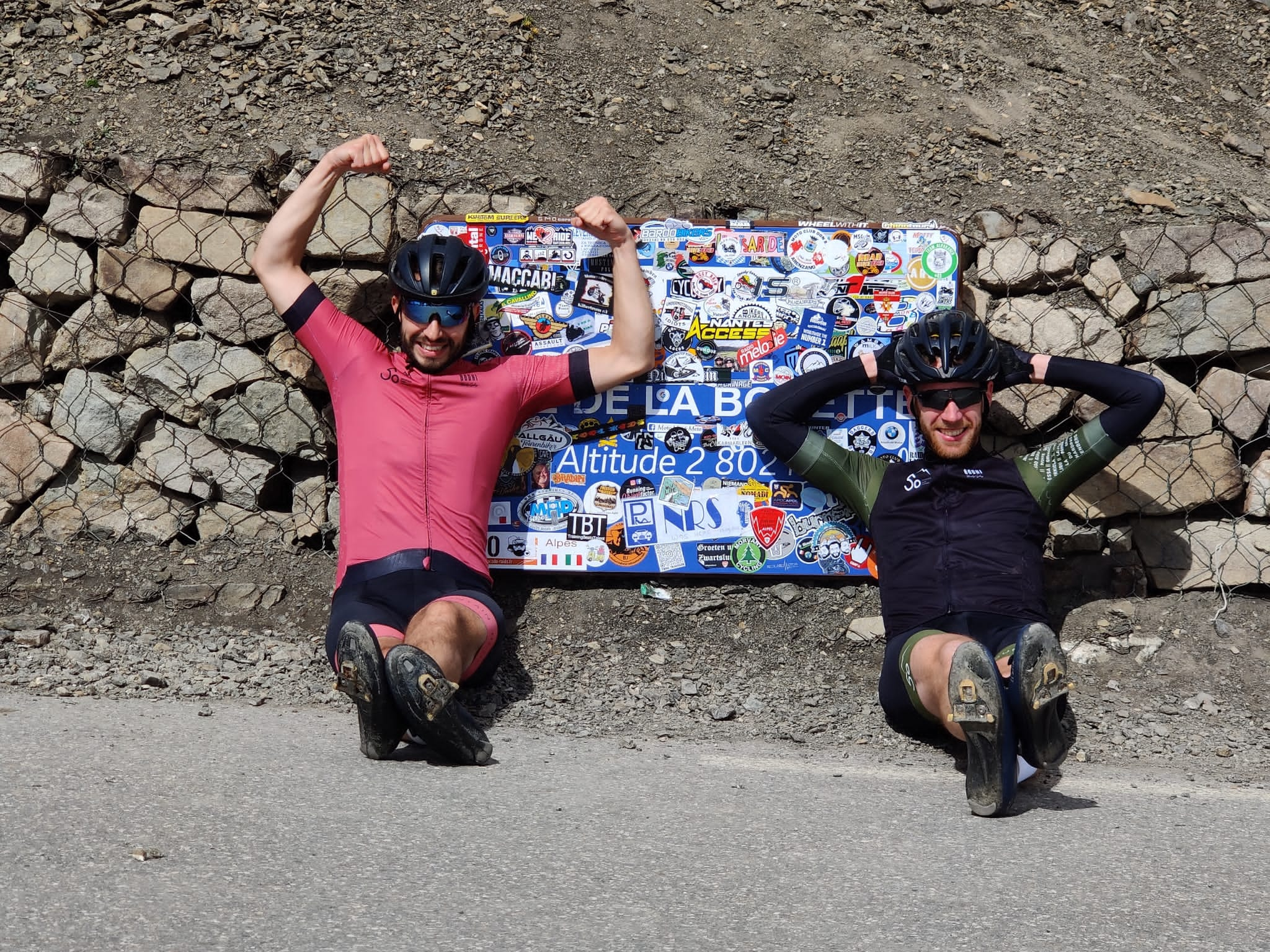
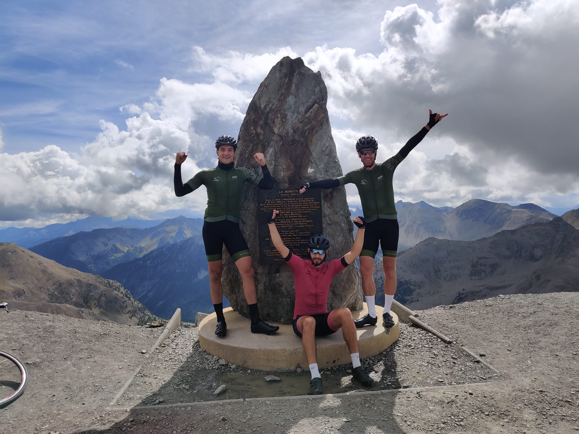
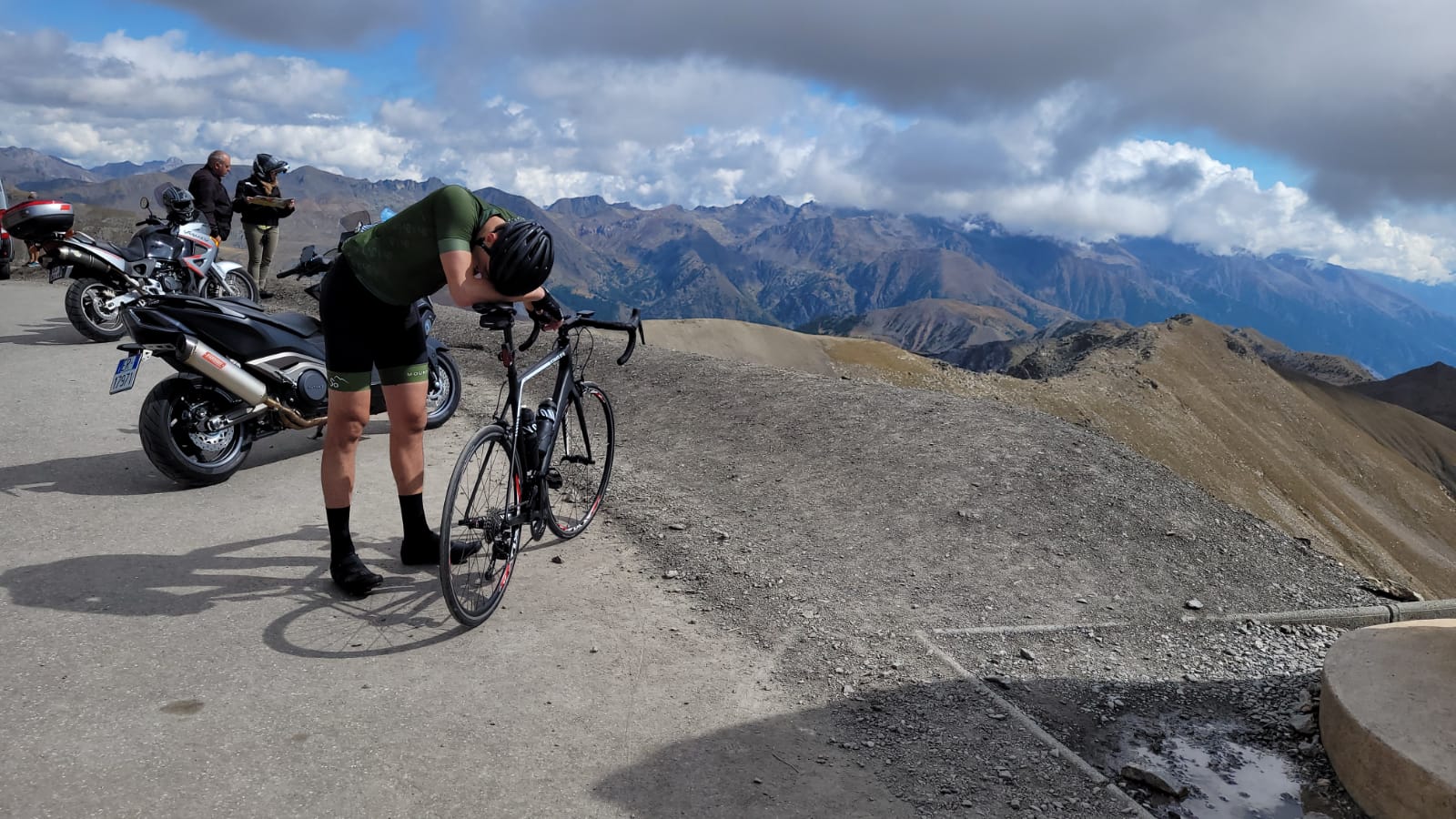
Whether it’s the highest in the Alps, in Europe or just in the ‘Alpes Maritimes’, it doesn’t matter. A true classic that you really have to do because of its beautiful landscapes, good road conditions and unique summit!
Route
The route from this story
- Cime de la Bonette vanuit Jausiers24.1 km · 1,649 hmGPX ↓
Questions & tips
Do you have any questions about this route, or have you been there yourself? Share them here. We read everything and usually respond within a few days.