
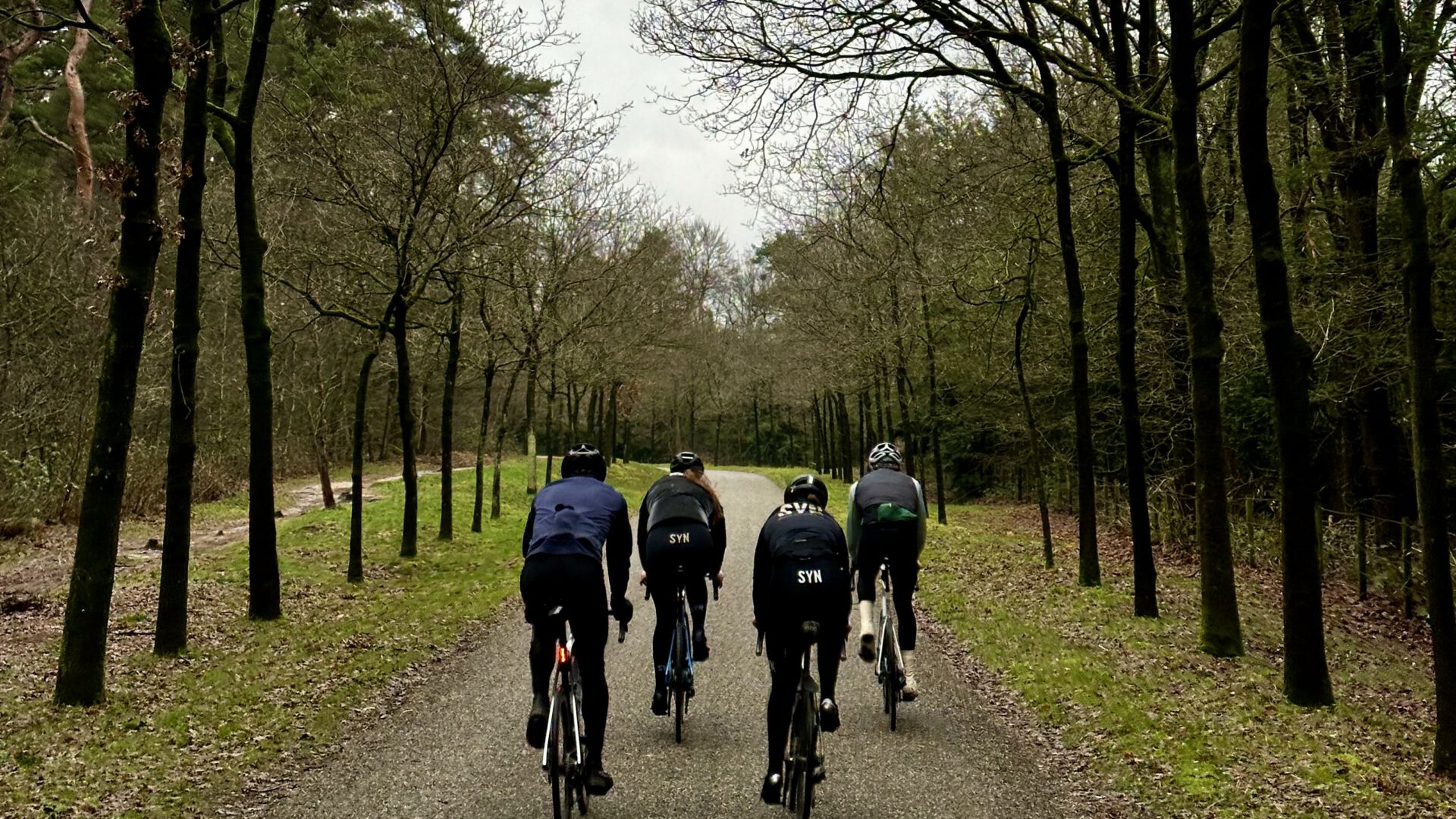
Cycling on the Heuvelrug. Anyone looking for a little bit of elevation in the Netherlands will soon find themselves on a route through the Utrecht Heuvelrug. For many people in the Randstad, this is the first opportunity to experience the real thing. Of course, it’s not quite the same as climbing a mountain. alpencol or it doesn't look remotely like the longer one The Ardennes Work. Yet you can still tackle a few beautiful climbs from Bunnik. This is one of my favorite routes!
Theehuis Rhijnauwen
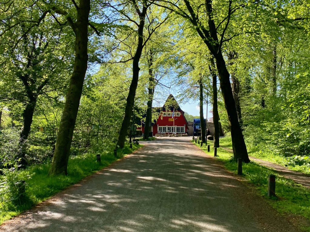
For everyone who comes from Utrecht or who wants to ride this route, it is Theehuis Rhijnauwen A nice and recognizable starting point. Not only is it the perfect spot to stop for a quick meal after a ride with a good pancake, the road leading to it, from Utrecht, offers a very beautiful and atmospheric view! Alternatively, you can also start this route from Early in Bunnik. The coffee is already brewed there on time and they really have delicious cake and lunch. In the summer there is also ice cream, so there is something for everyone in this neighborhood.
On to the hills
The route itself starts with a nice long, winding stretch over the Achterdijk. For many Utrecht cyclists, this is a favorite because you have four kilometers of space. Yes, there is traffic, but you don’t have to constantly squeeze the brakes and there are no traffic lights either. You can almost go all the way to Langbroek, but for now we’re turning towards the ‘castle route‘. This isn’t necessarily an official route, but you’ll still pick up a few nice old outfits this way.
Beverweert and Ridderhofstad Sterkenburg
Once you have crossed the N229, turn off between the yellow decorations along the road and onto Molenhoeflaan. Soon enough, you will see the (abandoned) Castle Beverweert. Here, the average handyman can get their fix. From a distance, it still looks reasonably well maintained, but closer you see that it really needs more than just a lick of paint.
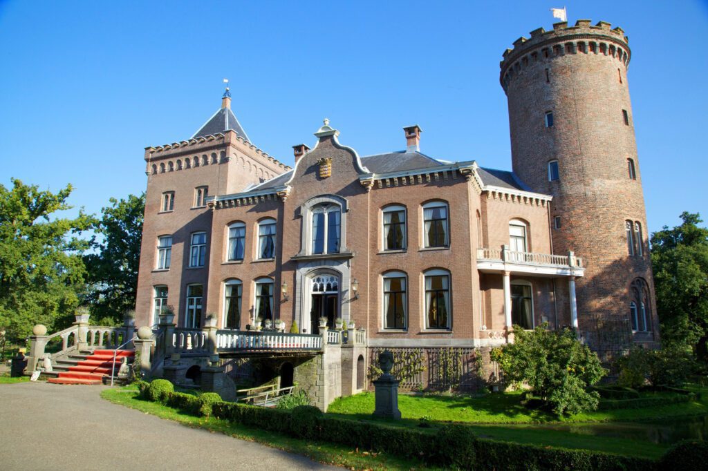
The road past this castle is very quiet, but relatively narrow. Two cars cannot just pass through it, so be careful with oncoming traffic. After the bend you come to a nice stretch under the trees, where you could sprint full speed. At the end of this stretch you turn right and then you see in the distance, on the right, the Ridderhofstad Sterkenburg.
Not seen any hills yet
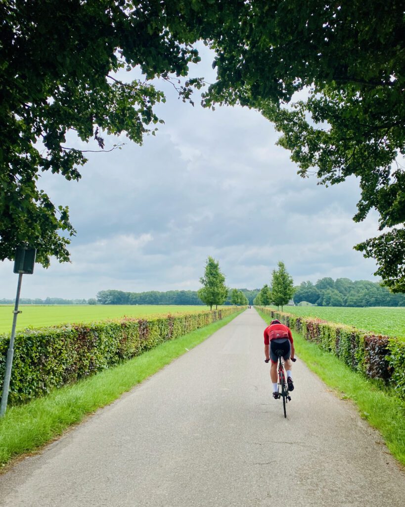
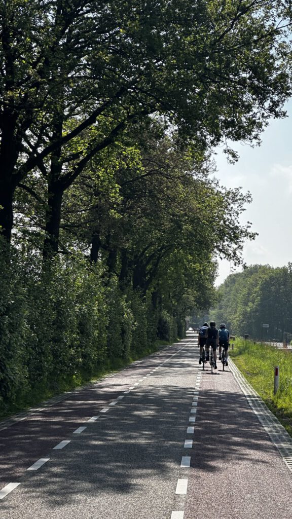
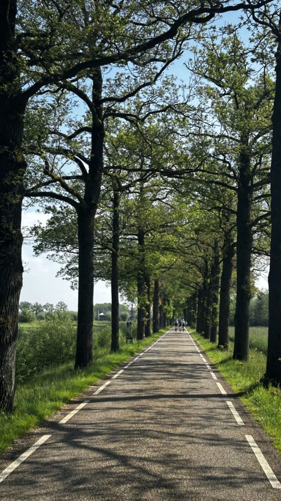
So far, everything has been fairly flat. Geographically, we also have to head a little further north, because that’s where the final Utrecht Huvelrug lies, where you have to take into account the altitude meters. We do this by going to Castle Sterkenburg (by the way, a fantastic wedding location, tip!) Turn left, onto Sterkenburgerlaan, and at the end, turn right onto the Gooijerdijk. This stretch of road is wonderful. The asphalt is good, you are surrounded by meadows, and sometimes you drive through a section of forest. Here you can drive for miles undisturbed.
The real work
At the end of the Gooijerdijk, After crossing the N-road, turn left onto the Sandenburgerlaan. Here, in the distance on the right, you can still see Castle Sandenburg lying down. At the end of Sandenburgerlaan, near the restaurant, the trail starts to level out for the first time. Make sure you are well-hydrated, because from now on we are going up the hill.
There is actually a classic triangle, the combination of Ruiterberg-Hoogstraat-Ruiterberg. One that you can’t avoid if you’re going mountain biking. It’s about 2 minutes up this side of the hill for the average amateur. Ruiterberg. It's not very steep, because you can only climb up 5% of them, but you can feel them in your legs. The descent in the Cape forests It’s good to catch your breath again, because afterwards you turn right at the end, just before the main road, and head back up the Hoogstraat. This is a long continuous climb that just won’t seem to stop. If you can earn an imaginary mountain top, wait a long time before starting. Here you can only climb at a maximum of 7.5%, so this is a real pain in the ass.
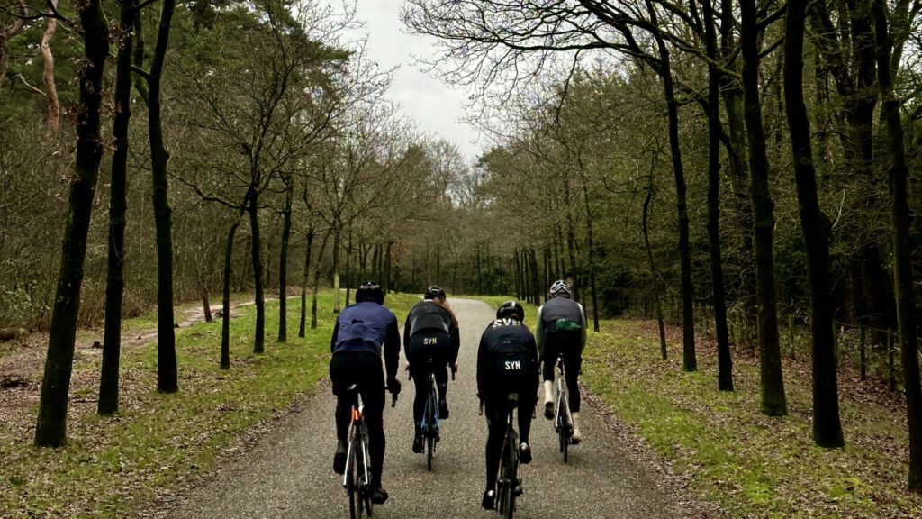
After descending the Hoogstraat, turn right again and then take the Ruiterberg trail once more. After the second descent of the Ruiterberg, turn left onto the Maarnse Grintweg. This is a popular stretch and you’ll see cyclists here every month of the year. It descends quite gently downhill here, but the steeper descent comes later.
Cycling on the Heuvelrug, even in the city!
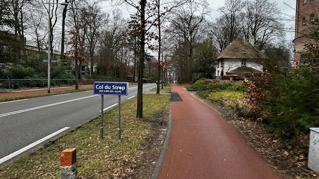
Now it’s just a short ‘crossing’ to Amersfoort. Along the training grounds of the Leusderheide (where you can also enjoy mountain biking and gravel riding) you drive north, towards the cycling capital. Under the A28 you drive briefly through a residential area, but at the roundabout you turn left and then you see Galgenberg You drive up the Amersfoort mountain, which is officially called the Hugo de Grootlaan. It’s quite steep here. This climb is also about two minutes for the average amateur. There’s a sign with 5% along the road, so it’s a bit of a climb. According to Strava, it’s 700 meters at an average of 4.4%. Especially the last stretch is very rough.
Galgenberg, Amersfoort, Netherlands
• Distance: 753 m, Elevation difference: 25 m, Average gradient: 3.3 %
Amersfoort's Berg on top
After that, turn right again onto Vondellaan, down and at the bottom at Kapelweg, turn right. You’re now really in the groove and you can take it all the way up to the climb on Surinamelaan. This is a little unknown to many, which doesn’t make it any less fun. It’s a total of 600 meters, with a maximum of almost 6%, which isn’t quite comfortable. On top of that, you have several choices. Turn left and then immediately left onto 1914, you can then do the circuit one more time. You can also turn right at the top and then right onto Utrechtseweg to do another variation. If you really want to train altitude, the Galgenberg is a great option, which is also known as the ‘Little Switzerland‘It is called ‘ideal’. In a short time, with short climbs! And at a ‘bow-shot’ distance lies the climb to the Belgian Monument as well.
Tank track
We choose the option to drive back to Utrecht and The Meijerij turn left towards the Tank track To turn. This wide road, literally meant as a transport lane for tanks, runs from the army camp here to the Soesterberg airport. From this side (west), it is a long, wide route that at the end peaks up slightly on the viaduct. After that, you can take a nice descent and you are back on the road at the Den Treek estate.
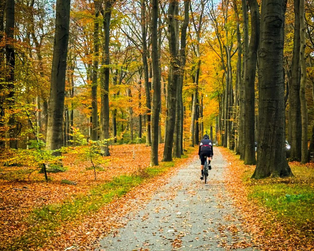
Then turn left towards the final climb of this route, the Austerlitz pyramid! This is another nice climb up the N-road. If you are coming from the direction of Amersfoort, there is also an alternative. Then you can drive up the road past the pancake house (which is on the right). This road is more through the forest and is of equal height. The bike path here is really narrow, so not recommended in the summer.
Back to Bunnik
On top of the pyramid you can still go to the real pyramid, but that is a bit off-road (turn right). If you want to head back towards Bunnik, you now drive down the long descent towards Zeist. You drive past the KNVB headquarters here and eventually turn left, a long stretch along the village. Here you take a side road and drive past the castle of Zeist through the meadows back towards Theehuis Rhijnauwen.
This route is ultimately 78 kilometers long and you can easily get 400 meters of elevation gain in just a few hours! If you’re going cycling on the Heuvelrug, this is a great option. Do you want more info or do you have any more tips? Leave a comment below!
Questions & tips
Do you have any questions about this route, or have you been there yourself? Share them here. We read everything and usually respond within a few days.