Cycling from a Landal park: we have done this in the past in 25+ parks, from the Wadden Sea to the Alps. We rode all the routes on this page ourselves, from the front door of the park. With maps, elevation profiles and GPX files to download.
- 25+ parks in the Netherlands, Belgium, Germany, Austria and Denmark
- 73 routes: gravel, race bike and mountain bike
- 21 stories about cycling from Landal
All Landal parks on the map
Stories by country
Netherlands
To the routes in the Netherlands ↓
Belgium
Germany
Austria
Denmark
Routes in the Netherlands
Landal Waterpark Sneekermeer
Terherne, Friesland. Friese lakes, the IJsselmeerkust and the Wadden Sea: long, flat bike rides with lots of water and wind. Read our story →
Route collection · Race bike
Cycling from Landal Waterpark Sneekermeer
- 3routes
- 68–138km per ride
- 110max. altitude meters
- 321km in total
- 1
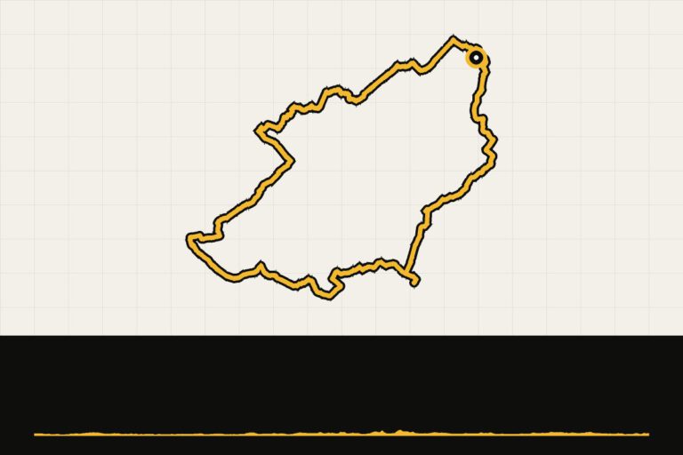 Route 1 · 114.8 km · 109 hmLandal Sneekermeer: a tour of the IJsselmeerLong round to the IJsselmeer coast.Map, profile & GPX of route 1 →
- 2
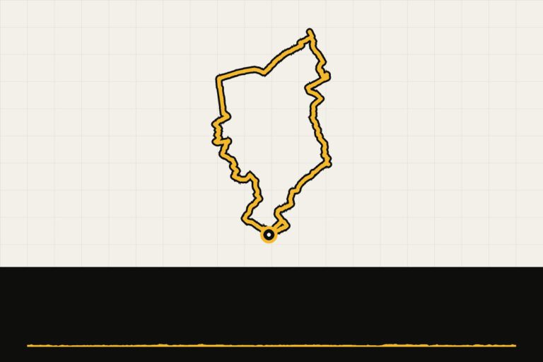 Route 2 · 138.4 km · 110 hmLandal Sneekermeer: a tour of the Wadden SeaThe long journey to the Wadden coast.Map, profile & GPX of route 2 →
- 3
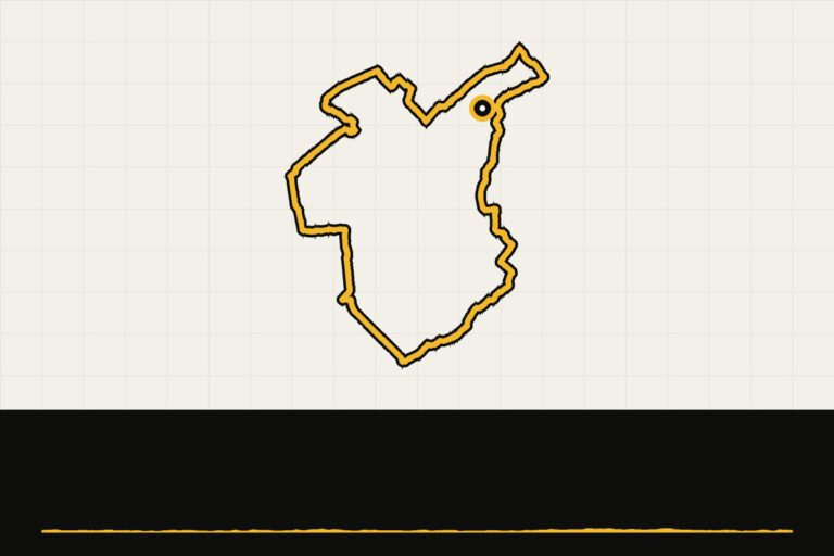 Route 3 · 67.5 km · 60 hmLandal Sneekermeer: a tour of SneekA tour around Sneek and the Frisian lakes.Map, profile & GPX of route 3 →
Landal Natuurdorp Suyderoogh
Lauwersoog, Groningen. The Lauwersmeer, the Wadden coast and the quaint villages of Groningen’s Hogeland region. Read our story →
Route collection · Race bike
Cycling from Landal Natuurdorp Suyderoogh
- 4routes
- 36–115km per ride
- 109max. altitude meters
- 260km in total
- 1
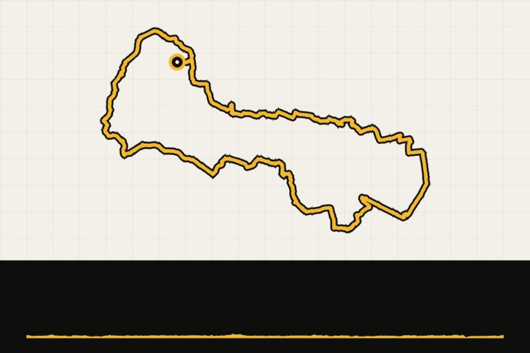 Route 1 · 114.6 km · 109 hmLandal Suyderoogh: trip to ZoutkampLong flat ride through Hogeland via Zoutkamp.Map, profile & GPX of route 1 →
- 2
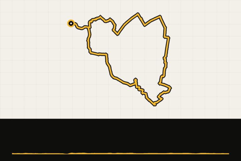 Route 2 · 35.6 km · 30 hmLandal Suyderoogh: round the Lake of ZoutkampShort round along the Lauwersmeer and Zoutkamp.Map, profile & GPX of route 2 →
- 3
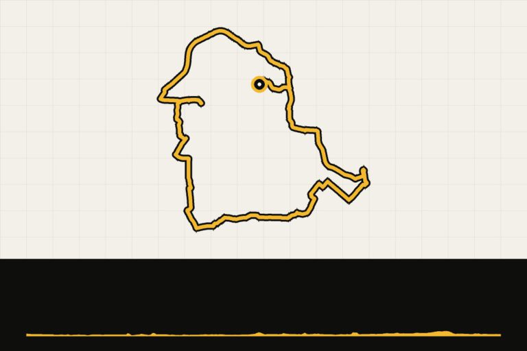 Route 3 · 49.4 km · 61 hmLandal Suyderoogh: tour around the Lake LauwersmeerA tour around Lake Lauwersmeer, over dykes and through open nature.Map, profile & GPX of route 3 →
- 4
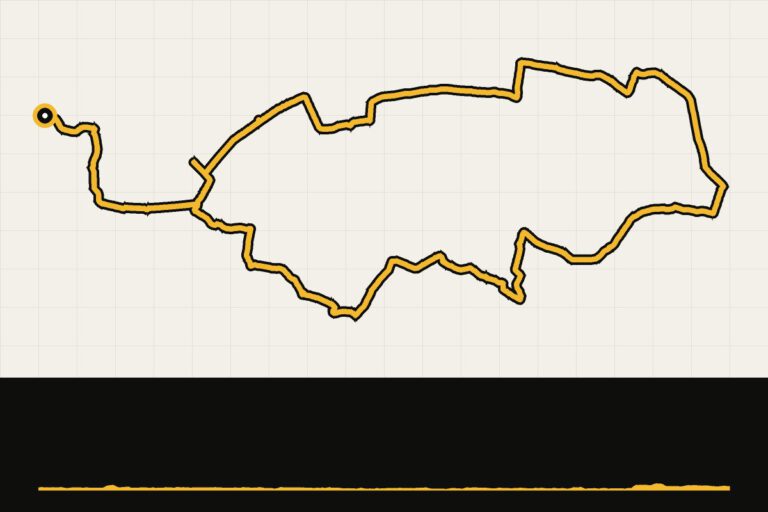 Route 4 · 60.5 km · 57 hmLandal Suyderoogh: towards Groningen, past meadows and churchesAlong the quaint villages of Groningen and medieval churches.Map, profile & GPX of route 4 →
Landal Hunerwold State
Drents-Friese Wold, Drenthe. Gravel through the Drents-Friese Wold and along the Fochteloërveen. Read our story →
Route collection · Gravel
Cycling from Landal Hunerwold State
- 3routes
- 48–65km per ride
- 69max. altitude meters
- 172km in total
- 1
 Route 1 · 64.6 km · 17 hmGravel Route Fochteloërveen from Landal HunerwoldstateMap, profile & GPX of route 1 →
- 2Route 2 · 47.7 km · 3 hmLandal Hunerwoldstate – FochteloërveenMap, profile & GPX of route 2 →
- 3
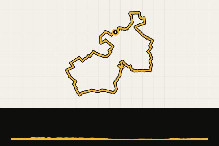 Route 3 · 59.8 km · 69 hmLandal Hunerwold State: gravel route 2Gravel through the forest and meadow of South-West Drenthe.Map, profile & GPX of route 3 →
Landal Orveltermarke
Orvelte, Drenthe. Drenthe forests, heaths and village outskirts: ideal gravel terrain. Read our story →
Route collection · Gravel
Cycling from Landal Orveltermarke
- 4routes
- 43–77km per ride
- 64max. altitude meters
- 216km in total
- 1
 Route 1 · 77.4 km · 6 hmGravel Day 2 from Landal OrveltermarkeMap, profile & GPX of route 1 →
- 2
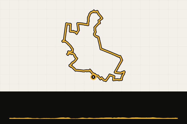 Route 2 · 49.7 km · 64 hmLandal Orveltermarke: gravel day 1Through Drenthe forests and meadows along Orvelte.Map, profile & GPX of route 2 →
- 3
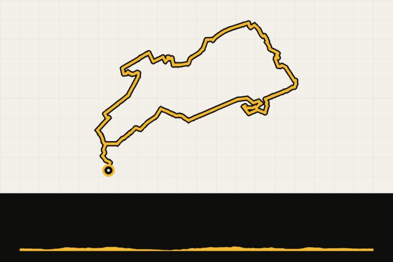 Route 3 · 45.5 km · 64 hmLandal Orveltermarke: gravel day 1, shorter variantShorter variant through the Drenthe forests.Map, profile & GPX of route 3 →
- 4
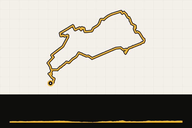 Route 4 · 43.4 km · 50 hmLandal Orveltermarke: gravel by SchoonlooGravel through the forests of Schoonloo.Map, profile & GPX of route 4 →
Landal Sallandse Heuvelrug
Nijverdal, Overijssel. The hills of Salland: gravel over the heather and a race bike over the Lemelerberg and Holterberg. Read our story →
Route collection · Gravel · Race bike
Cycling from Landal Sallandse Heuvelrug
- 7routes
- 30–123km per ride
- 491max. altitude meters
- 418km in total
- 1
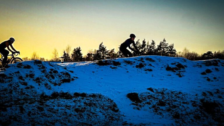 Route 1 · 64.5 km · 49 hmGravel route in the Sallandse HeuvelrugMap, profile & GPX of route 1 →
- 2
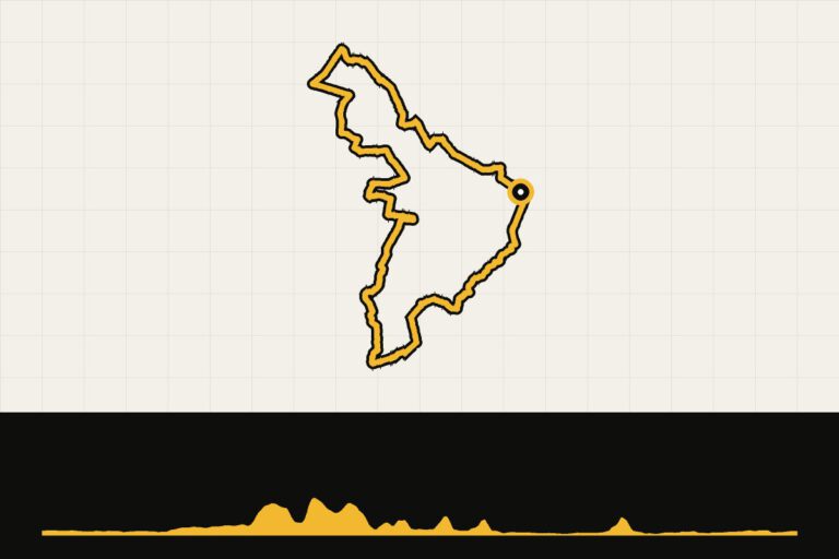 Route 2 · 69.4 km · 245 hmLandal Sallandse Heuvelrug: Lemelerberg and HolterbergRace bike over the Lemelerberg and the Holterberg.Map, profile & GPX of route 2 →
- 3
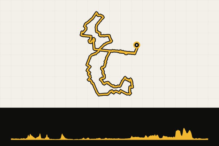 Route 3 · 123.2 km · 491 hmLandal Sallandse Heuvelrug: The steepest hill in SallandAll the steep sections of Salland in one long round.Map, profile & GPX of route 3 →
- 4
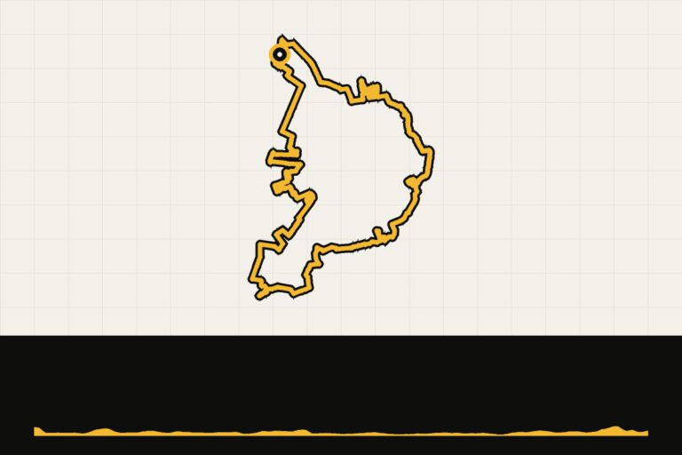 Route 4 · 36.9 km · 89 hmLandal Sallandse Heuvelrug: gravel on the MTB route from WierdenShort gravel ride along the MTB route from Wierden.Map, profile & GPX of route 4 →
- 5
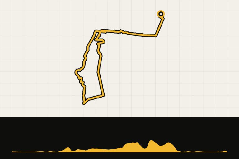 Route 5 · 43.7 km · 208 hmLandal Sallandse Heuvelrug: a tour around the hill countryGravel ride over the heath of the hill ridge.Map, profile & GPX of route 5 →
- 6
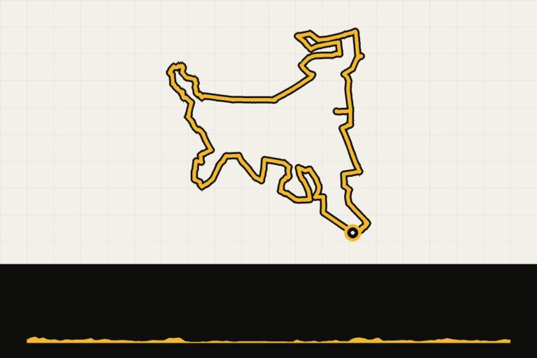 Route 6 · 49.8 km · 107 hmLandal Sallandse Heuvelrug: gravel routeGravel through the national park and the forests surrounding it.Map, profile & GPX of route 6 →
- 7
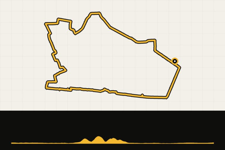 Route 7 · 30 km · 117 hmLandal Sallandse Heuvelrug: tour around HellendoornShort drive to Hellendoorn, with a coffee stop.Map, profile & GPX of route 7 →
Landal De Weelderik
Hengelo, Achterhoek. The countryside of the Achterhoek: sandy paths, lanes, castles and the Berkel river. Read our story →
Route collection · Gravel
Cycling from Landal De Weelderik
- 5routes
- 33–99km per ride
- 58max. altitude meters
- 299km in total
- 1
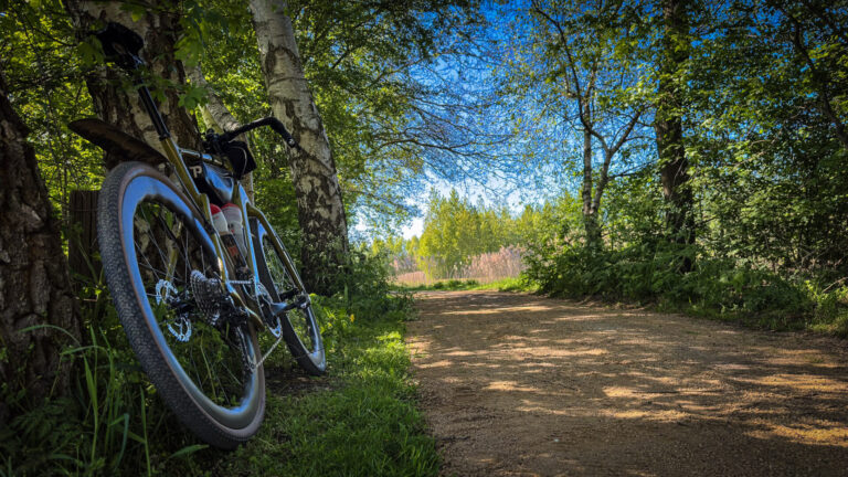 Route 1 · 98.9 km · 9 hmAchterhoek gravel from Landal De WeelderikMap, profile & GPX of route 1 →
- 2
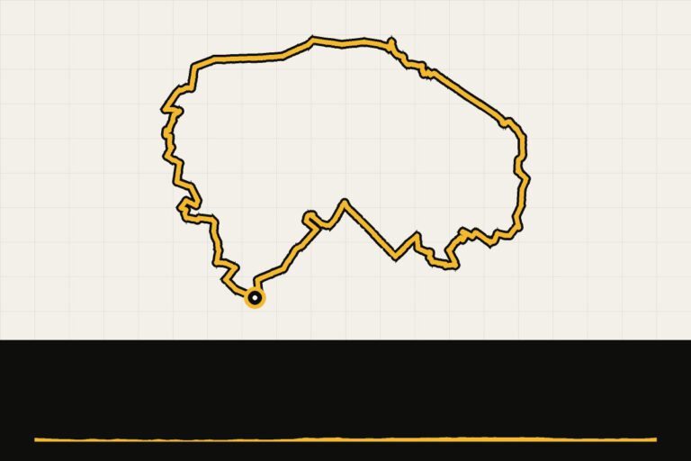 Route 2 · 43.9 km · 45 hmLandal De Weelderik: gravel route around Castle VordenVia forest paths and lanes to Vorden and its castles.Map, profile & GPX of route 2 →
- 3
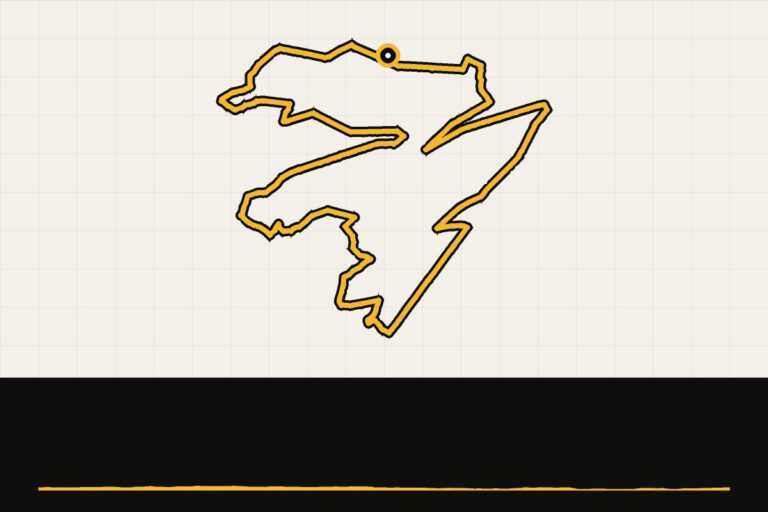 Route 3 · 32.5 km · 29 hmLandal De Weelderik: a tour around the areaShort gravel ride right from the park.Map, profile & GPX of route 3 →
- 4
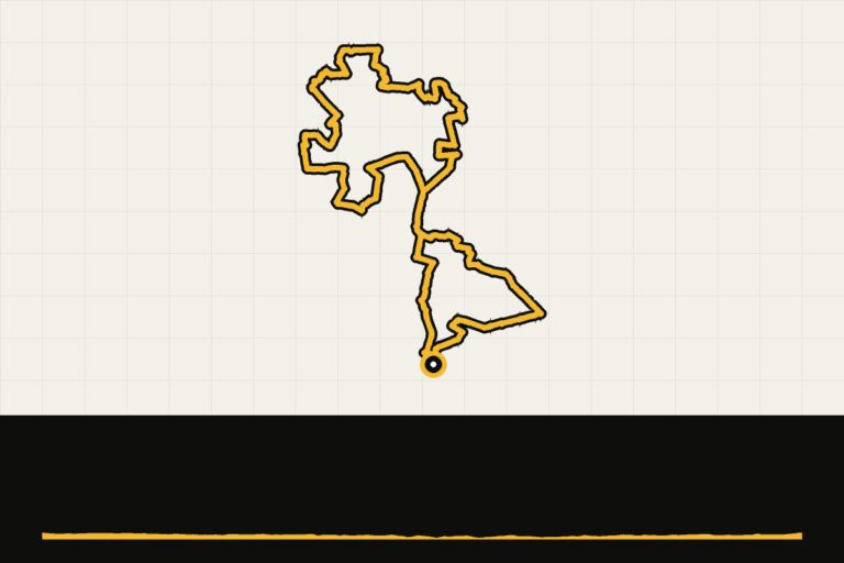 Route 4 · 53.5 km · 58 hmLandal De Weelderik: along the Berkel near AlmenOver the gravel path along the Berkel near Almen.Map, profile & GPX of route 4 →
- 5
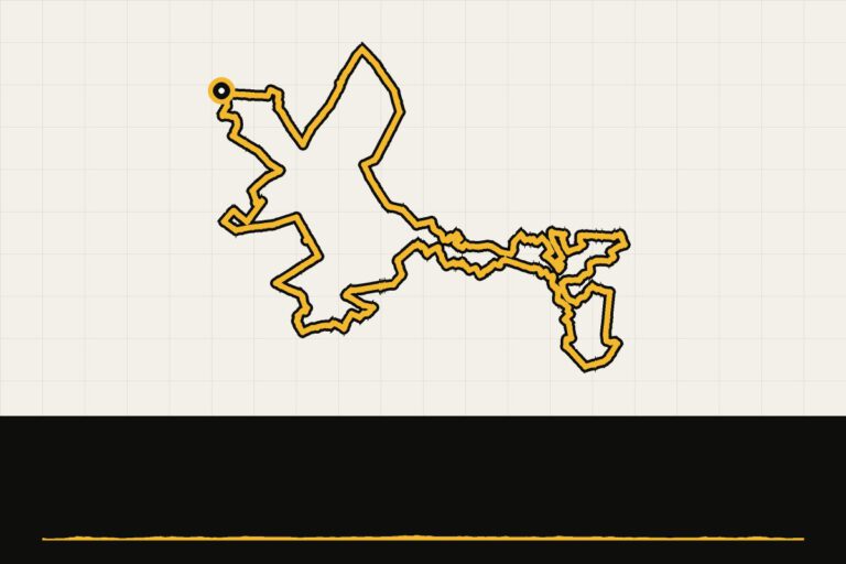 Route 5 · 70.1 km · 57 hmLandal De Weelderik: gravel round towards ZelhemGravel over dirt roads towards Zelhem.Map, profile & GPX of route 5 →
Landal Stroombroek
Braamt, Achterhoek. Gravel through the Achterhoek and the forests of Montferland. Read our story →
Route collection · Gravel
Cycling from Landal Stroombroek
- 2routes
- 51–102km per ride
- 203max. altitude meters
- 153km in total
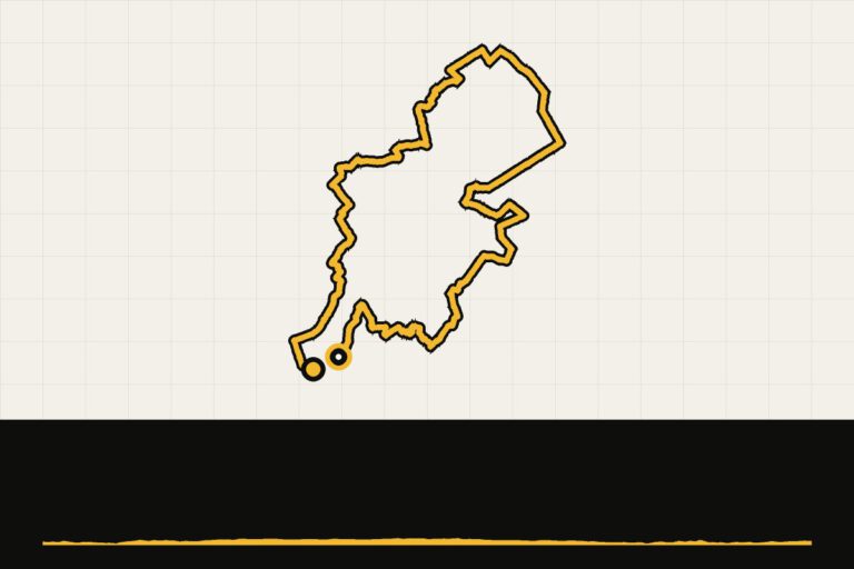
Landal Rabbit Hill
Hoenderloo, Veluwe. In the middle of the Veluwe: gravel through the Crown Estate and over the heather.
Route collection · Gravel
Cycling from Landal Rabbit Hill
- 1routes
- 74–74km per ride
- 362max. altitude meters
- 74km in total

Landal Waterpark Veluwemeer
Biddinghuizen, Flevoland. Flat polder roads, dykes along the water and the Veluwe just around the corner. Read our story →
Route collection · Race bike
Cycling from Landal Waterparc Veluwemeer
- 5routes
- 57–145km per ride
- 143max. altitude meters
- 429km in total
- 1
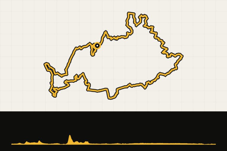
 Route 1 · 144.7 km · 103 hmLandal Veluwemeer: the edge of FlevolandLong race bike ride over the dykes of Flevoland.Map, profile & GPX of route 1 →
- 2
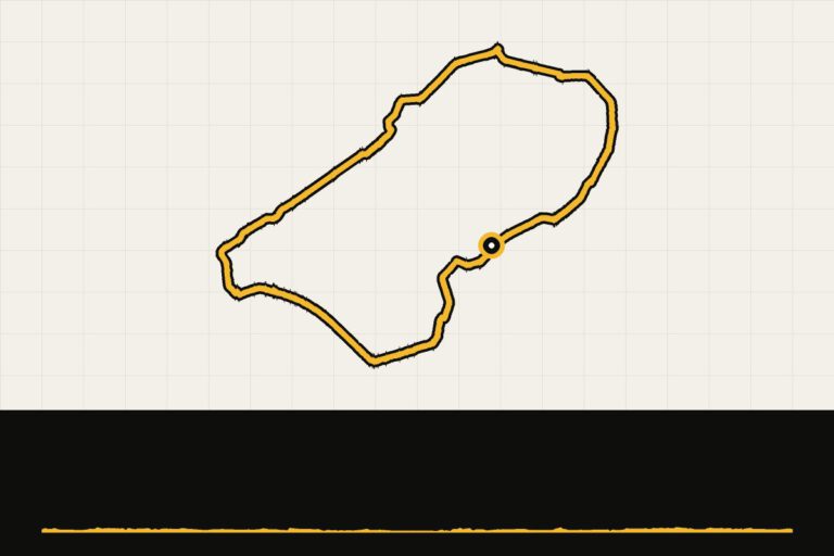
 Route 2 · 82.5 km · 61 hmLandal Veluwemeer: Saturday rideFlat round area along the Veluwe Lake and the polder.Map, profile & GPX of route 2 →
- 3
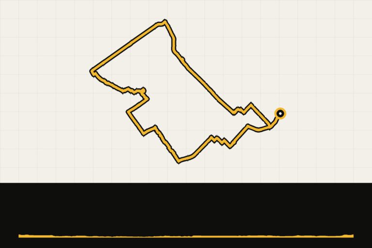
 Route 3 · 68.4 km · 112 hmLandal Veluwemeer: gravel to the VeluweFrom the polder to the forest paths of the Veluwe.Map, profile & GPX of route 3 →
- 4
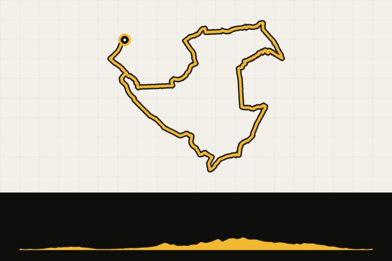
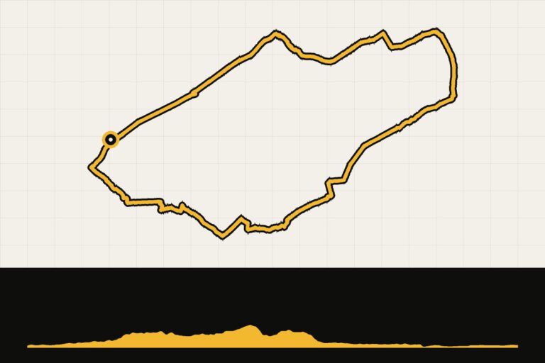 Route 4 · 76.7 km · 143 hmLandal Veluwemeer: from the Veluwe to ElburgOver the Veluwe to the fortified town of Elburg.Map, profile & GPX of route 4 →
- 5
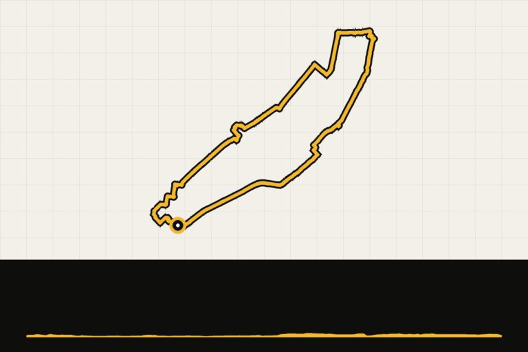 Route 5 · 56.5 km · 52 hmLandal Veluwemeer: a little warmerA quiet warm-up through the polder.Map, profile & GPX of route 5 →
Landal Amerongse Berg
Utrecht's Heuvelrug. The most climbing in Central Netherlands: gravel over the Utrecht Hills. Read our story →
Route collection · Gravel
Cycling from Landal Amerongse Berg
- 6routes
- 26–89km per ride
- 475max. altitude meters
- 313km in total
- 1
 Route 1 · 74 km · 160 hmGravel round of Amerongse BergMap, profile & GPX of route 1 →
- 2
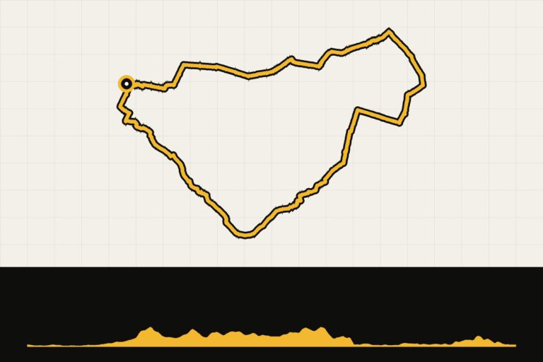 Route 2 · 55.2 km · 231 hmLandal Amerongse Berg: to the Edese Heide and WageningenAcross the Rhine to the Ede Heath and Wageningen.Map, profile & GPX of route 2 →
- 3
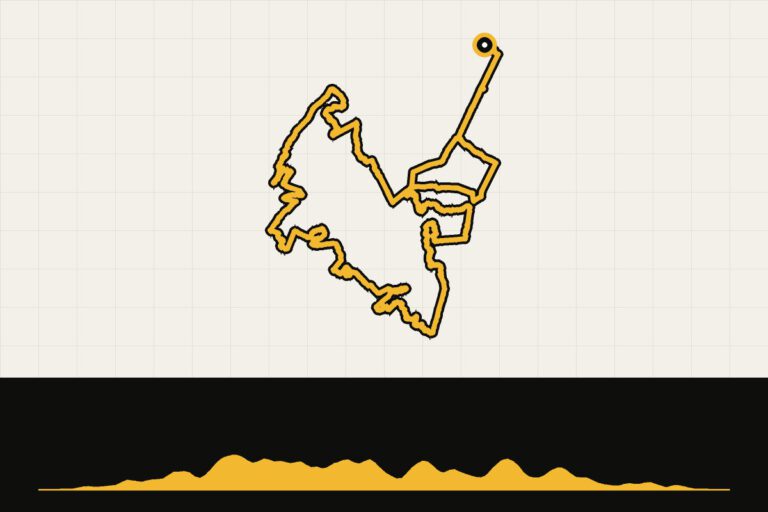 Route 3 · 26.1 km · 235 hmLandal Amerongse Berg: gravel on the MTB courseShort and firm over the MTB course.Map, profile & GPX of route 3 →
- 4
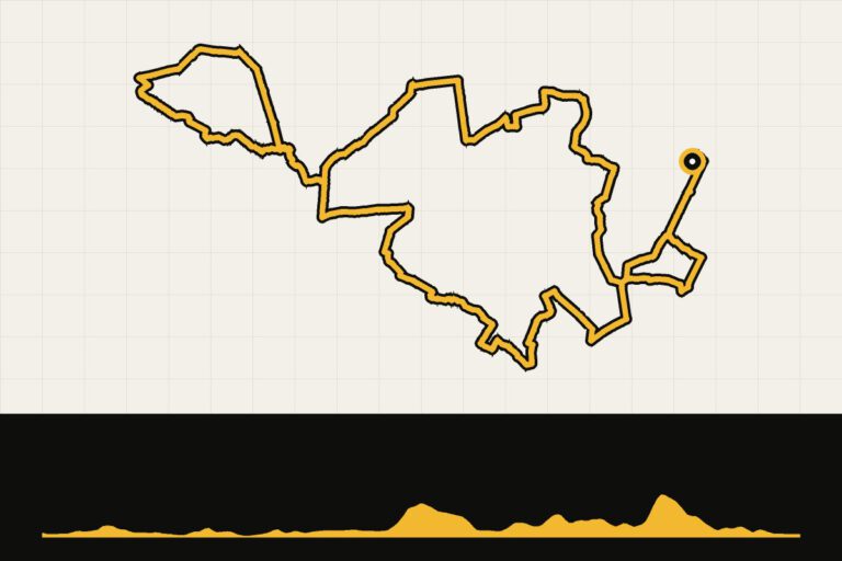 Route 4 · 39.6 km · 228 hmLandal Amerongse Berg: a tour of the hill ridgeGravel ride over the hill ridge.Map, profile & GPX of route 4 →
- 5
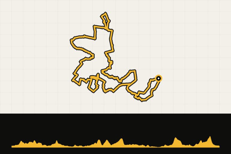 Route 5 · 89.3 km · 475 hmLandal Amerongse Berg: along the hotspots of the HeuvelrugThe long route around all the hotspots of the Heuvelrug.Map, profile & GPX of route 5 →
- 6
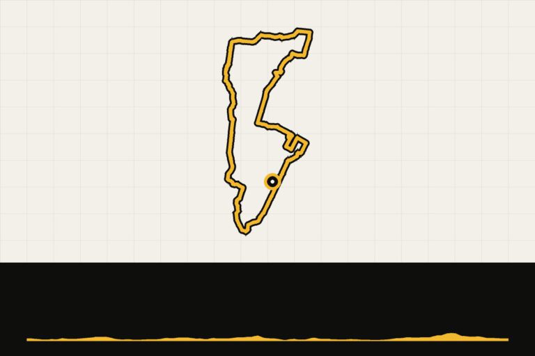 Route 6 · 28.6 km · 70 hmLandal Amerongse Berg: short gravel routeA short walk through the forests of the Amerongse Berg.Map, profile & GPX of route 6 →
Landal Berger Duinen
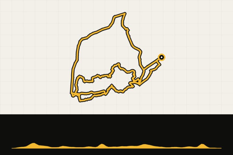
Schoorl, North Holland. Mountain biking through the highest dune area in the Netherlands. Read our story →
Route collection · MTB
Cycling from Landal Berger Duinen
- 2routes
- 19–51km per ride
- 182max. altitude meters
- 71km in total
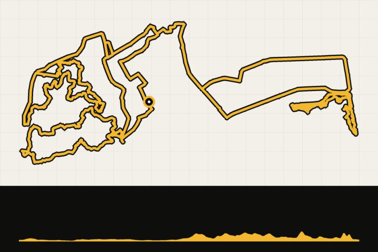
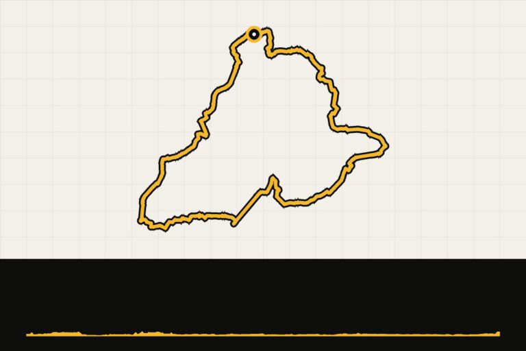
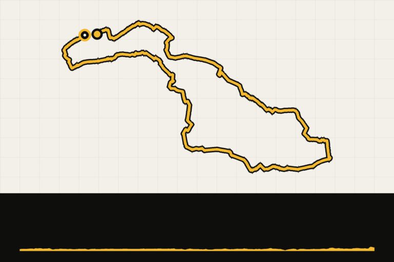
Landal Ouddorp Duin
Goeree-Overflakkee. Sand dunes, dykes and the Brouwersdam: racing bikes with the sea wind. Read our story →
Route collection · Race bike
Cycling from Landal Ouddorp Duin
- 2routes
- 88–118km per ride
- 120max. altitude meters
- 206km in total
Landal Resort Haamstede
Schouwen-Duiveland, Zeeland. Along the Oosterschelde, over the Brouwersdam and across the dike to Noord-Beveland. Read our story →
Route collection · Race bike
Cycling from Landal Resort Haamstede
- 5routes
- 34–61km per ride
- 80max. altitude meters
- 252km in total
- 1
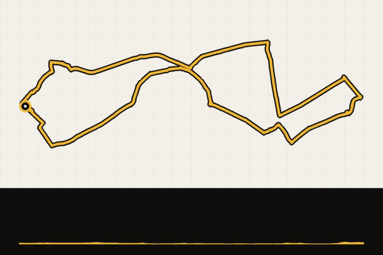 Route 1 · 33.5 km · 25 hmLandal Haamstede: short tour around the OosterscheldeShort drive to the Oosterschelde.Map, profile & GPX of route 1 →
- 2
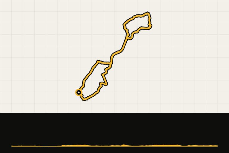 Route 2 · 56.3 km · 66 hmLandal Haamstede: a tour of the BrouwersdamOver the Brouwersdam and along the Grevelingenmeer.Map, profile & GPX of route 2 →
- 3
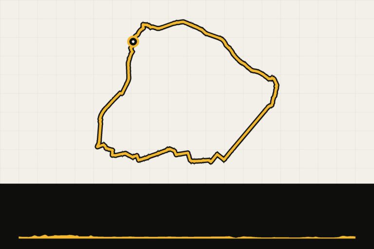 Route 3 · 53.3 km · 60 hmLandal Haamstede: a tour of the OosterscheldeAlong the Oosterschelde and the Oosterscheldekering.Map, profile & GPX of route 3 →
- 4
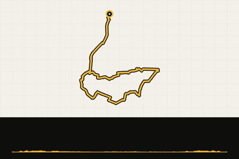 Route 4 · 60.5 km · 80 hmLandal Haamstede: over the Oosterscheldekering to Noord-BevelandAbout the Oosterscheldekering towards Noord-Beveland.Map, profile & GPX of route 4 →
- 5
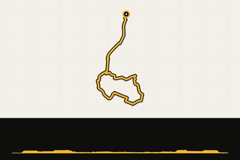 Route 5 · 47.9 km · 59 hmLandal Haamstede: short tour around North BevelandShorter round over the ridge to Noord-Beveland.Map, profile & GPX of route 5 →
Landal Strandpark De Banjaard
Kamperland, North Beveland. On the Veerse Meer, with Walcheren and the coast of Domburg within cycling distance.
Route collection · Race bike
Cycling from Landal Strandpark De Banjaard
- 1routes
- 69–69km per ride
- 86max. altitude meters
- 69km in total
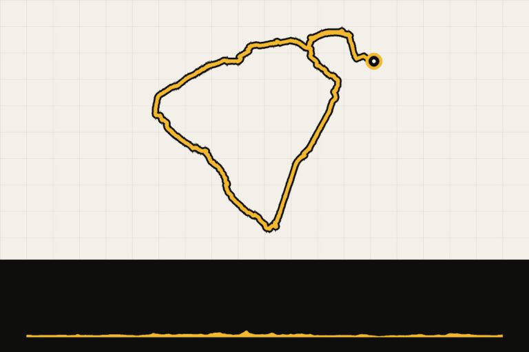
Landal Klein Oisterwijk
Oisterwijk, North Brabant. Meadows, forests and heath: five gravel routes of 56 to 96 kilometers. Read our story →
Route collection · Gravel
Cycling from Landal Klein Oisterwijk
- 5routes
- 56–96km per ride
- 234max. altitude meters
- 364km in total
- 1
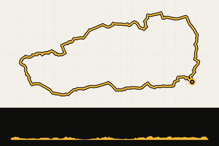 Route 1 · 96.4 km · 234 hmLandal Klein Oisterwijk: gravel route of 95 kmThe long gravel round through the Brabant forests and ravines.Map, profile & GPX of route 1 →
- 2
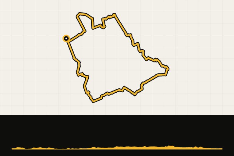 Route 2 · 58.4 km · 129 hmLandal Klein Oisterwijk: gravel route of 58 kmHalf-day gravel tour through the Oisterwijk forests and ponds.Map, profile & GPX of route 2 →
- 3
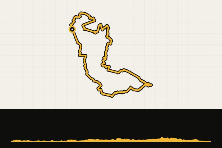 Route 3 · 84.8 km · 210 hmLandal Klein Oisterwijk: gravel route of 85 kmA tough gravel round through the Brabant nature.Map, profile & GPX of route 3 →
- 4
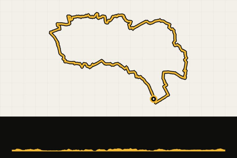 Route 4 · 67.7 km · 170 hmLandal Klein Oisterwijk: gravel route of 67 kmThe middle zone: sand, forest, heather and meadows.Map, profile & GPX of route 4 →
- 5
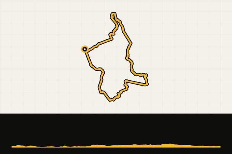 Route 5 · 56.2 km · 108 hmLandal Klein Oisterwijk: gravel grinderLots of unpaved roads: driving through the forests of Oisterwijk.Map, profile & GPX of route 5 →
Landal De Vers
Overloon, North Brabant. Gravel in the border area between Brabant and Limburg, with the Brabant Strada Bianche being the highlight. Read our story →
Route collection · Gravel
Cycling from Landal De Vers
- 4routes
- 31–101km per ride
- 96max. altitude meters
- 290km in total
- 1
 Route 1 · 101.1 km · 79 hmLand of gravel and sand (Landal De Vers)Map, profile & GPX of route 1 →
- 2
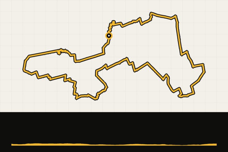 Route 2 · 31.1 km · 40 hmLandal De Vers: to the war museum in OverloonShort walk along the war museum in Overloon.Map, profile & GPX of route 2 →
- 3
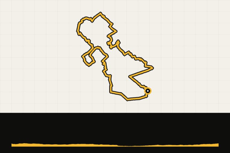 Route 3 · 66.4 km · 68 hmLandal De Vers: Saint Anthony and the MolenheideThrough the forests of Sint Anthonis and over the Molenheide.Map, profile & GPX of route 3 →
- 4
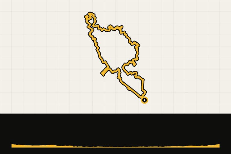 Route 4 · 91.1 km · 96 hmLandal De Vers: Brabant's Strada BiancaThe long gravel round: as much as possible off-road.Map, profile & GPX of route 4 →
Landal Cauberg
Valkenburg, South Limburg. The Heuvelland of the Amstel Gold Race, from the foot of the Cauberg.
Route collection · Race bike
Cycling from Landal Cauberg
- 3routes
- 49–118km per ride
- 1.609max. altitude meters
- 221km in total
- 1
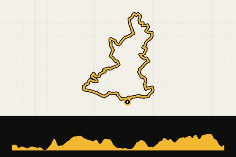 Route 1 · 49.1 km · 433 hmLandal Cauberg: a round without the CaubergHeuvelland without the busy Cauberg.Map, profile & GPX of route 1 →
- 2
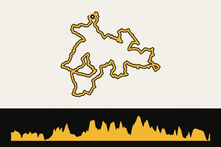 Route 2 · 117.7 km · 1,609 hmLandal Cauberg: Amstel Gold Race and other highlightsThe slopes of the Amstel Gold Race in one long round.Map, profile & GPX of route 2 →
- 3
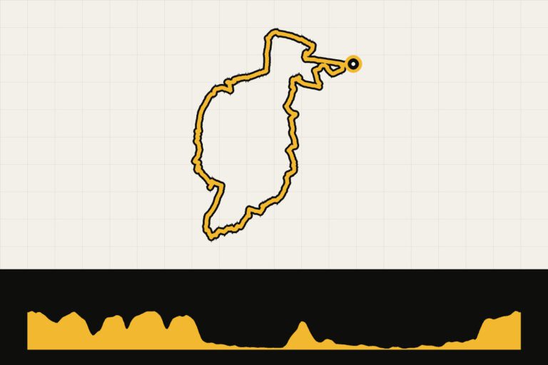 Route 3 · 53.9 km · 385 hmLandal Cauberg: coffee tour in ValkenburgRelaxing coffee break through the Heuvelland.Map, profile & GPX of route 3 →
Routes in Belgium
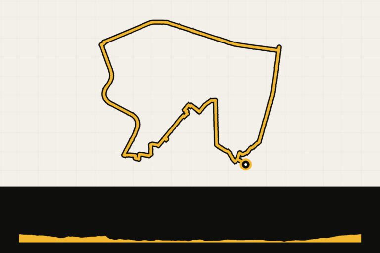
Landal Park Eksel
Hechtel-Eksel, Belgian Limburg. The Kempen: forests, meadows and quiet roads. Read our story →
Route collection · Race bike
Cycling from Landal Park Eksel
- 1routes
- 60–60km per ride
- 96max. altitude meters
- 60km in total
Routes in Germany
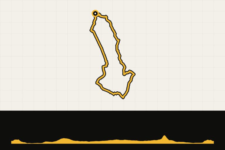
Landal Bad Bentheim
Bad Bentheim, Lower Saxony. Just across the border in Twente: quiet German country roads and a castle as the backdrop.
Route collection · Race bike
Cycling from Landal Bad Bentheim
- 1routes
- 49–49km per ride
- 143max. altitude meters
- 49km in total
Landal Winterberg
Winterberg, Sauerland. Mountain biking paradise with a trail park and a bike park. Read our story →
Route collection · MTB
Cycling from Landal Winterberg
- 2routes
- 25–48km per ride
- 2.408max. altitude meters
- 73km in total
- 1
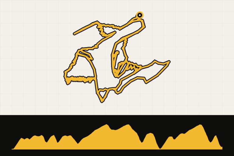 Route 1 · 25.1 km · 660 hmLandal Winterberg: Trailpark WinterbergSingletracks through the Winterberg Trail Park.Map, profile & GPX of route 1 →
- 2
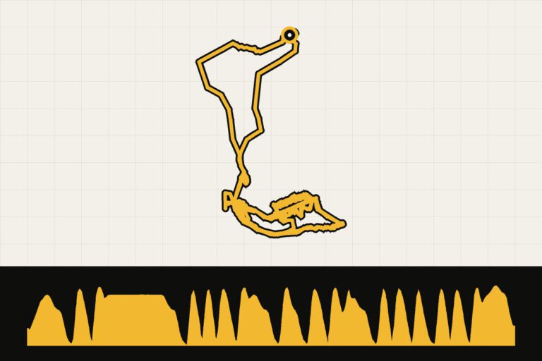 Route 2 · 48.1 km · 2,408 hmLandal Winterberg: Bikepark WinterbergMTB around the bike park: 2,400 meters of elevation gain in 48 km.Map, profile & GPX of route 2 →
Landal Arber
Beierse Woud, Bavaria. Long climbs and endless forests, all the way to the Czech border. Read our story →
Route collection · Race bike
Cycling from Landal Arber
- 2routes
- 98–157km per ride
- 2.273max. altitude meters
- 255km in total
- 1
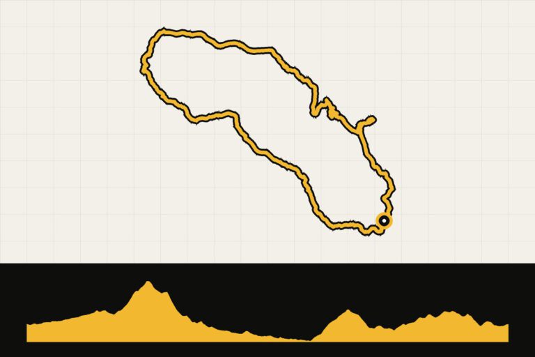 Route 1 · 97.8 km · 1,514 hmLandal Arber day 1: Zellertal and the Grosser ArberThrough the Zellertal to the Grosser Arber.Map, profile & GPX of route 1 →
- 2
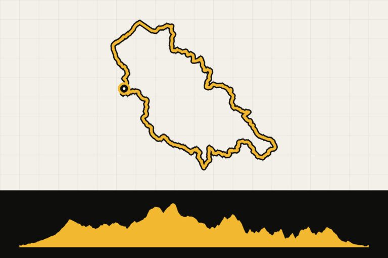 Route 2 · 156.7 km · 2,273 hmLandal Arber day 2: Bavarian Forest National Park and the Czech RepublicLong journey through the national park and Czechia.Map, profile & GPX of route 2 →
Routes in Austria
Landal Brandnertal
Brand, Vorarlberg. A complete cycling week in the Alps: four day rides and the climb to the park. Read our story →
Route collection · Race bike · Gravel
Cycling from Landal Brandnertal
- 5routes
- 9–105km per ride
- 2.608max. altitude meters
- 275km in total
- 1
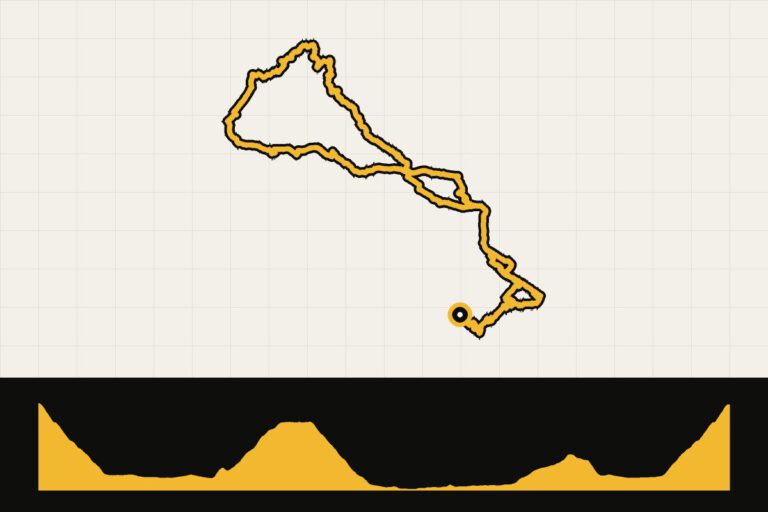 Route 1 · 75.9 km · 1,564 hmLandal Brandnertal day 1First introduction to the mountains around Bludenz.Map, profile & GPX of route 1 →
- 2
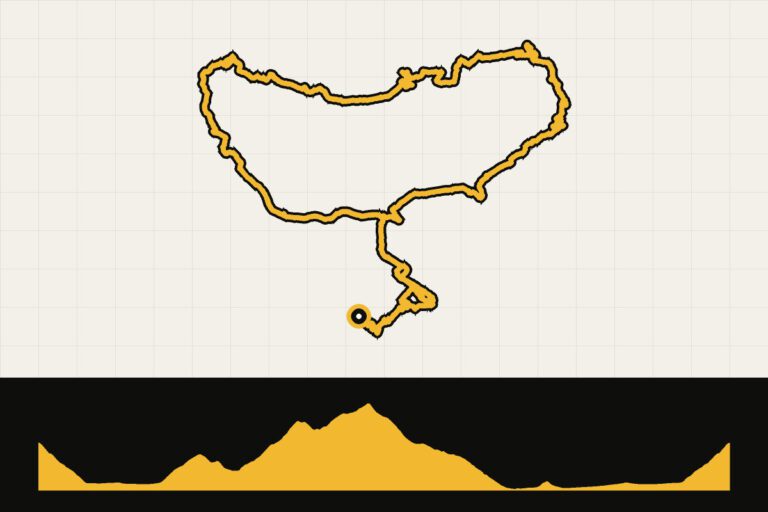 Route 2 · 104.7 km · 2,608 hmLandal Brandnertal day 2The Queen's Tour: 105 km and 2,600 meters of elevation gain.Map, profile & GPX of route 2 →
- 3
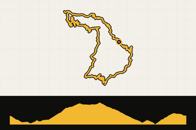 Route 3 · 44.4 km · 1,649 hmLandal Brandnertal day 3: gravelGravel the mountains: short but steep.Map, profile & GPX of route 3 →
- 4
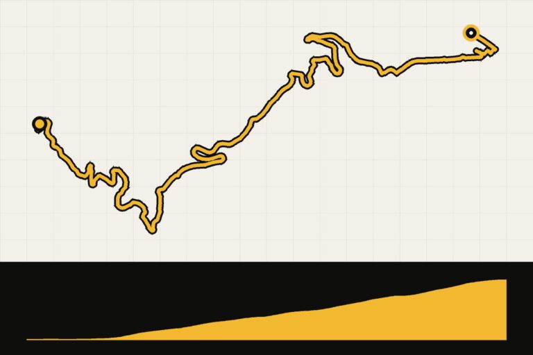 Route 4 · 9.1 km · 613 hmLandal Brandnertal: the climb to the parkThe climb from the valley to the park: 9 km, 600 meters of elevation gain.Map, profile & GPX of route 4 →
- 5
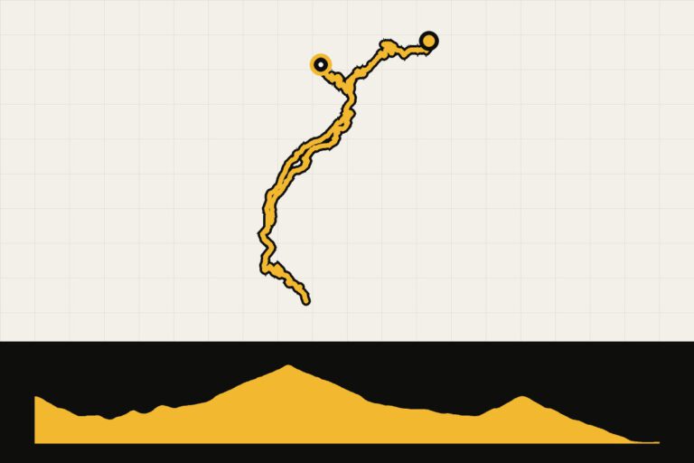 Route 5 · 41.2 km · 1,130 hmLandal Brandnertal day 4Shorter takeoff with 1,100 meters of altitude.Map, profile & GPX of route 5 →