Part of Austria › Salzburgerland
The Großglockner Hochalpenstraße is Austria's most famous mountain road. It runs for 48 kilometers from Fusch in Salzburgerland to Heiligenblut in Carinthia, with the Hochtor at 2,504 meters as the highest point. Along the way you can see the Großglockner, with 3,798 meters the highest mountain in the country, and the Pasterze, the largest glacier in Austria.
For cyclists, the road is a dream: good asphalt, hairpin bends, and cyclists don't pay tolls. Anyone who has ridden it once wants to do it again, from the other side.
Why cycle on the Großglockner?
- Two sides: the northern side from Fusch via the Fuschertörl, and the southern side from Heiligenblut.
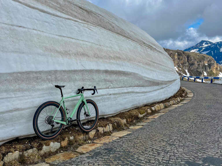
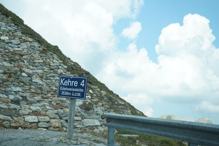
- The Edelweißspitze (2,571 m): a steep side path with cobblestones leading to the highest point that you can reach by bike.
- The Kaiser-Franz-Josefs-Höhe: a side road to the viewpoint above the Pasterzegletsjer.
- Free for cyclistsCars and motorcycles pay tolls; cyclists do not.
The climbs
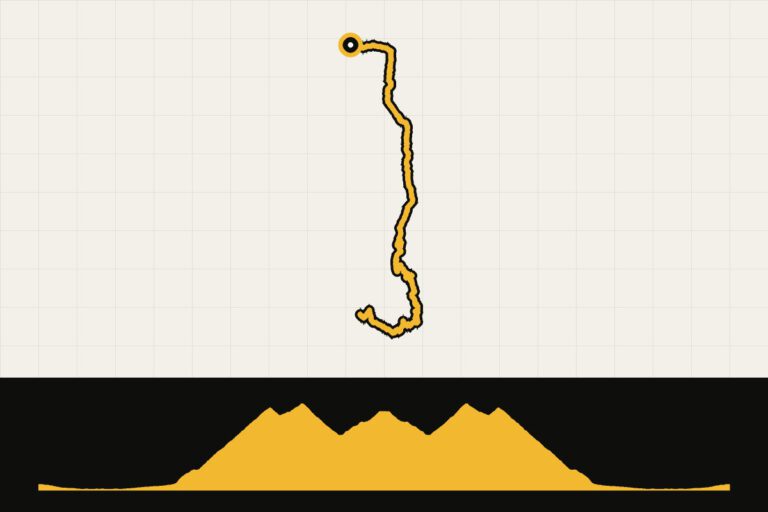
- North side from Fusch: Over 1,600 meters of elevation gain to the Fuschertörl, with the last kilometers above the tree line. Then another stretch to the Hochtor.
- South side from Heiligenblut: shorter but steep, with the famous church of Heiligenblut and the Großglockner in the background.
- Glockner KingEvery year in June, the famous climbing competition takes place from Bruck to the Fuschertörl.
Three rides to get you started
- From Fusch to the Edelweißspitze and the HochtorReturn trip, about 56 kilometers and more than 2,200 meters of elevation gain.
- Heiligenblut – Hochtor and back: the southern side, about 30 kilometers and almost 1,400 meters in altitude.
- Drive to the Großglockner: a long round from our archive.
All GPX routes are listed at the bottom of this page. You can read more about the area here. Salzburgerland and Carinthia.
When are you leaving?
The road is usually open from early May to early November, and closed at night. In July and August it is busy; early in the morning, for the touring cars and motorcycles. In June and September it is quieter. It can also be cold on the Hochtor in summer.
How do you get there?
By car you drive from Utrecht in about nine hours to Zell am See or Bruck, on the north side. By train you travel to Zell am See and cycle the final stretch to Fusch.
This is how we calculate: We calculate distances and travel times starting from Utrecht. Our flights always depart from Schiphol, Rotterdam The Hague Airport or Eindhoven Airport. Want to know how to travel from your place of residence the best way? Let us know, We are happy to help you. After all, we built this site together.
Are you flying? Read our guide Flying with your bike: Which airline, what the cost is and how to pack your bike.
Where to stay?
Zell am See, Bruck and Fusch are convenient for the northern part. Heiligenblut is a small mountain village on the southern side, ideal if you want to drive from there.
See places to stay in: Zell am See · Bruck · Fusch · Heiligenblut
Who is the Großglockner for?
For anyone who wants to ride the most beautiful mountain road in Austria at least once in their life. It is tough, but not extremely steep, and with good effort and enough time almost everyone reaches the top.