Part of France › French Alps
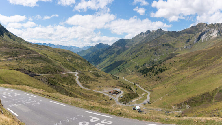
Nowhere in the Alps are so many major passes located so close together as in Savoie. The department consists of two long valleys: the Maurienne, along the river Arc, and the Tarentaise, along the Isère. From both valleys you climb to passes that every cycling fan knows from the Tour de France: the Galibier, the Croix de Fer, the Madeleine and the Iseran.
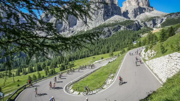
Savoie is not the kind of region for a leisurely ride. Here you climb for twenty kilometers or more, with more than 1,000 meters of elevation gain per stretch. But those who take the time to do so ride on roads overlooking glaciers, through villages with wooden chalets, and past mountain lakes. And after the climb there is always a terrace waiting.
Why cycle in Savoie?
- The biggest climbs on a hillFrom one valley you can ride the Galibier, the Télégraphe, the Croix de Fer, the Glandon and the Madeleine in a week.
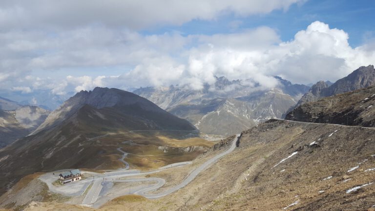
- The Col de l’Iseran (2,764 m): the highest continuous paved path in the Alps, between Bonneval-sur-Arc and Val d’Isère.
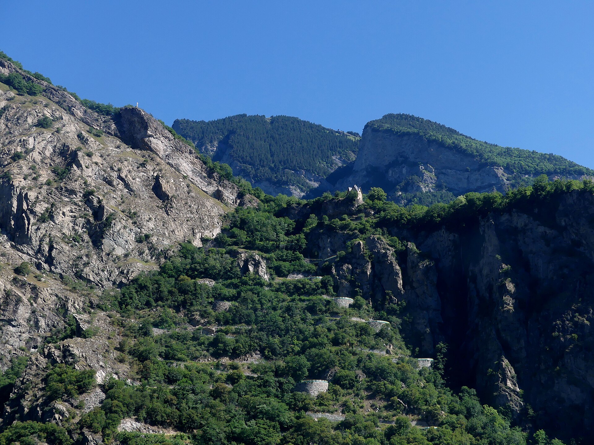
- The Lacets de Montvernier: zeventien haarspeldbochten op een paar kilometer, een van de meest gefotografeerde wegen van Frankrijk.
- Car-free afternoons: In the summer, on fixed days, the cols are closed to motorized traffic for a few hours. Check the Savoie Mont Blanc website when.
The Maurienne: Galibier, Croix de Fer and Madeleine
The Maurienne runs from Albertville and Saint-Jean-de-Maurienne up to Bonneval-sur-Arc. From Saint-Michel-de-Maurienne you climb via the Col du Télégraphe to Valloire and on to the Col du Galibier (2,642 m), which together is one of the most difficult combinations in the Alps. From Saint-Jean-de-Maurienne you go to the Col de la Croix de Fer (2,067 m) and the Col du Glandon, and on the northern side of the valley lies the Col de la Madeleine (1,993 m), which you can also ride from the Tarentaise. For a short, tricky climb there are the Lacets de Montvernier.
The Tarentaise: Iseran, Loze and Roselend
The Tarentaise is the valley of the major ski resorts, and that means: roads that go up into the high mountains. From Bourg-Saint-Maurice you climb to the Col du Petit-Saint-Bernard on the border with Italy and via Val d’Isère to the Iseran. The Cormet de Roselend connects the valley with the Beaufortain, with the Roselend reservoir along the way. Above Méribel and Courchevel lies the Col de la Loze (2,304 m), known from the Tour of 2020 and 2023. The final stretch is a cycle path that is open only to cyclists, with sections of more than 20 percent.
Three rides to get you started
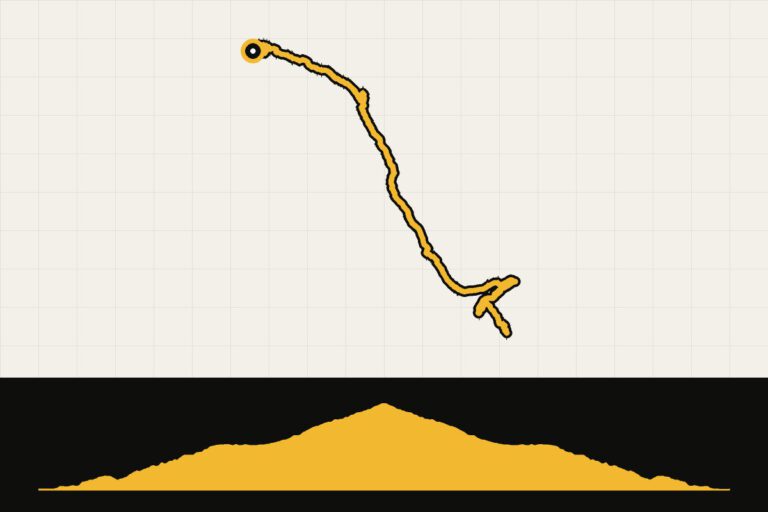
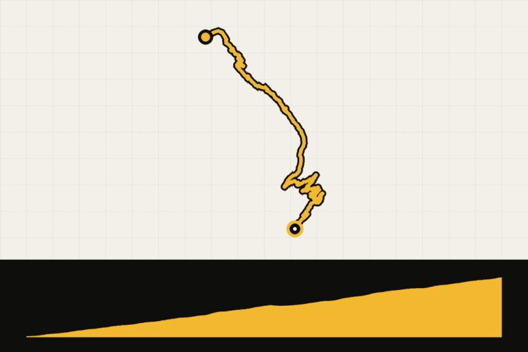
- Galibier from Valloire: the classic climb to the roof of the Maurienne, with a view of the glaciers of the Écrins above.
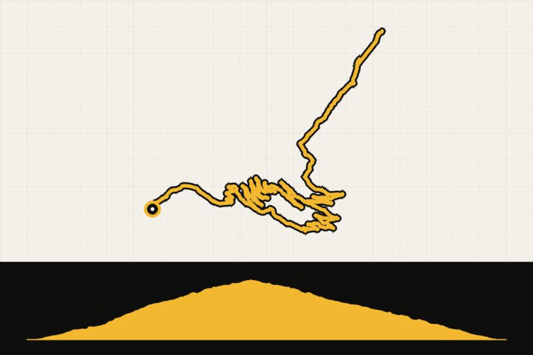
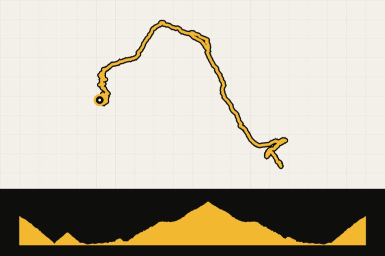
- The Iseran from Bourg-Saint-Maurice: a long day over the highest pass, with the return journey through the valley.
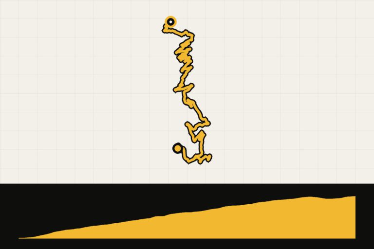
- The Col de la Loze from Les Allues: short, but with the steepest cliff in the region.
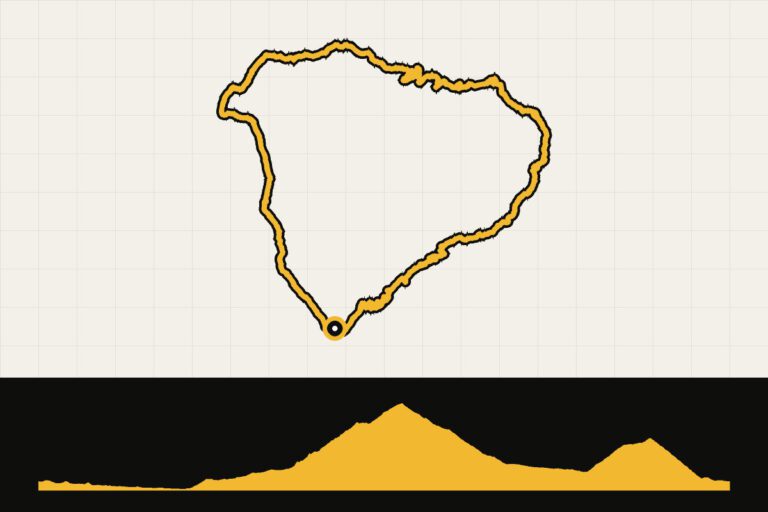
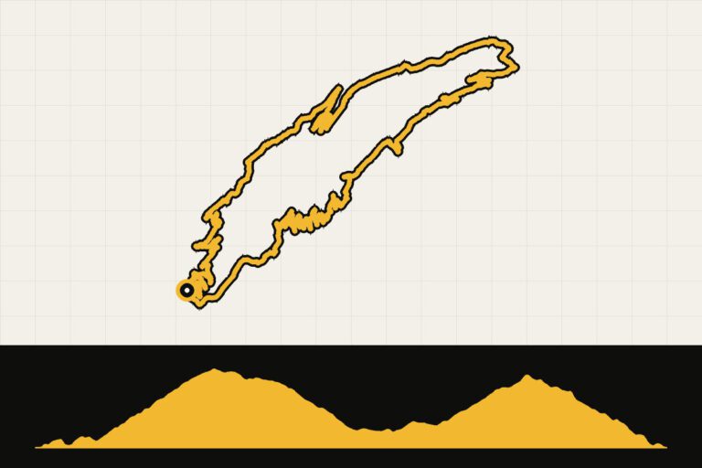
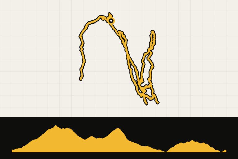
All GPX routes are listed at the bottom of this page.
When are you leaving?
The high cols are usually open from June until October. The Iseran and the Galibier often only open at the end of May or in June, depending on the snow conditions. July and August are the busiest months, with many cyclists and campers. In June and September it is quieter and often still fine weather, although it can be chilly above 2,000 meters. Bring a wind jacket for the descent.
How do you get there?
By car, you can drive from Utrecht in about ten to eleven hours to the Maurienne or the Tarentaise. By train, you can travel via Paris or Lyon to Saint-Jean-de-Maurienne, Modane or Albertville. Flying can take you to Geneva, Lyon or Chambéry; from there it is another one and a half to three hours by car.
This is how we calculate: We calculate distances and travel times starting from Utrecht. Our flights always depart from Schiphol, Rotterdam The Hague Airport or Eindhoven Airport. Want to know how to travel from your place of residence the best way? Let us know, We are happy to help you. After all, we built this site together.
Are you flying? Read our guide Flying with your bike: Which airline, what the cost is and how to pack your bike.
Where to stay?
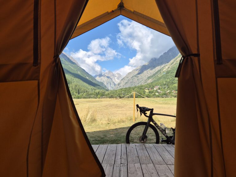
Valloire lies right between the Télégraphe and the Galibier and is therefore popular with cyclists. Saint-Jean-de-Maurienne is a good base for the Croix de Fer, the Glandon and the Madeleine. In the Tarentaise, Bourg-Saint-Maurice and Aime are convenient, and in the summer many ski resorts such as Méribel and Les Arcs are open to cyclists, often with lower prices than in winter.
For whom is Savoie?
For climbers who want to tick off the big names. You need to have a solid foundation: almost every ride has a climb of more than an hour. If you are less experienced, you choose one climb per day and take your time. With an electric race bike, Savoie is suitable for almost everyone.