Part of Germany › North Rhine-Westphalia
The Teutoburger Wald is the closest mountain area for those living in the east of the Netherlands. From the border near Enschede, you are in an hour at Tecklenburg, where the wooded valley begins that runs more than one hundred kilometers until it reaches Bielefeld and Detmold. You will find short, steep climbs, quiet paths through the forest, and views over the Münsterland.
It's not very high: the peaks are around 400 to 450 meters high. But because you keep crossing the ridge, the height meters add up quickly. Ideal for a cycling weekend if South Limburg is too far away or you want to try something different.
Why cycle in the Teutoburg Forest?
- Close byFrom Twente or the Achterhoek you are there in an hour.
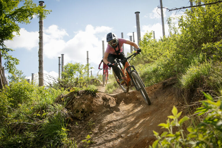
- Short, steep climbsThe roads over the hill are short but steep, with sections of more than ten percent.
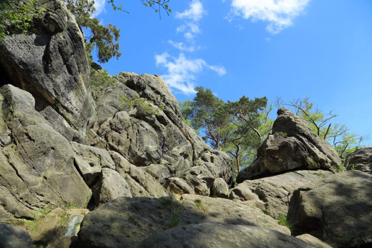
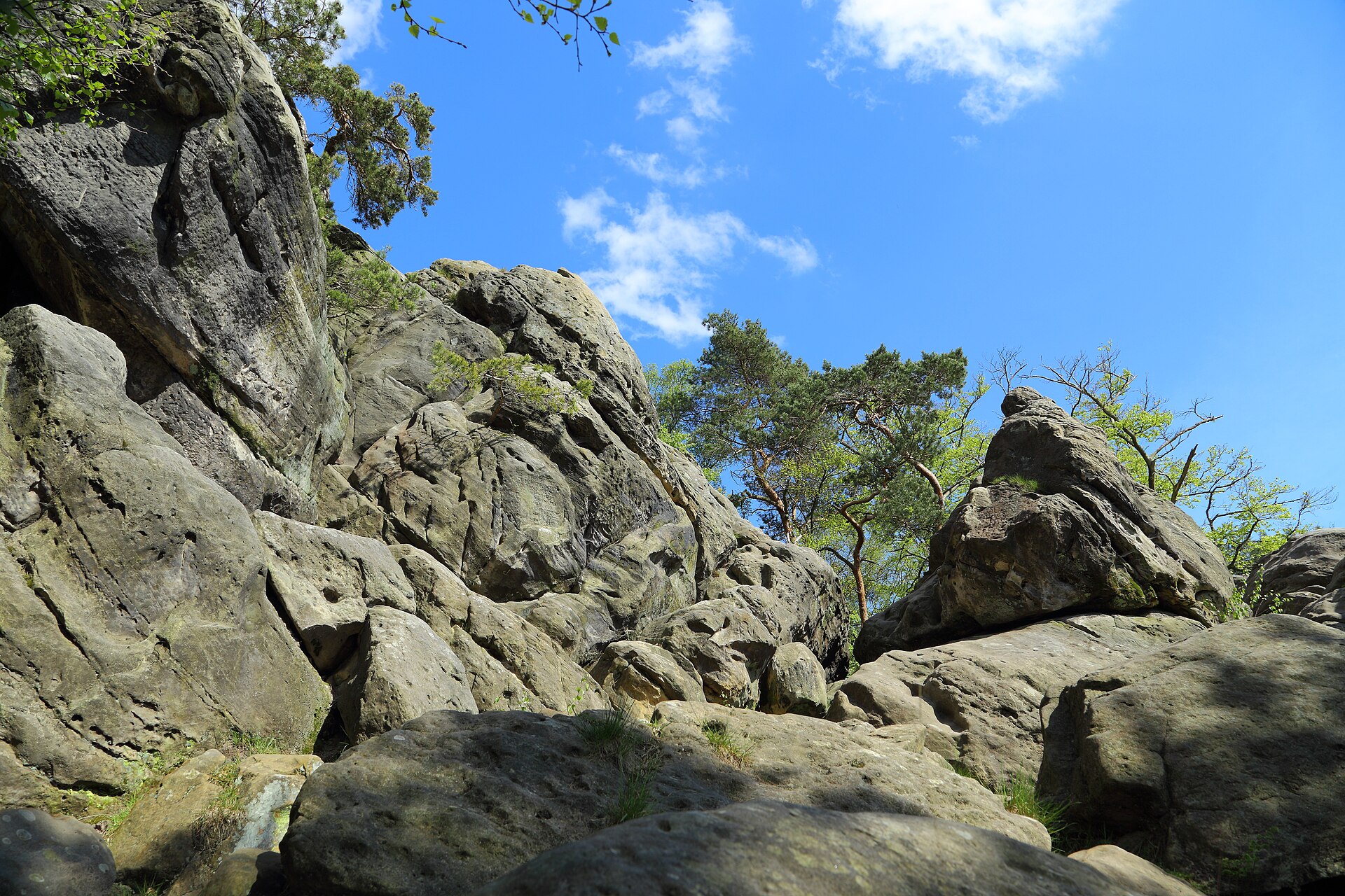
- SightsThe Hermann Memorial in Detmold, the rocks of the Externsteine and the Dörenther Klippen, and the old town of Tecklenburg on the hill.
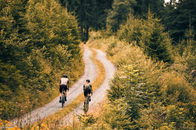
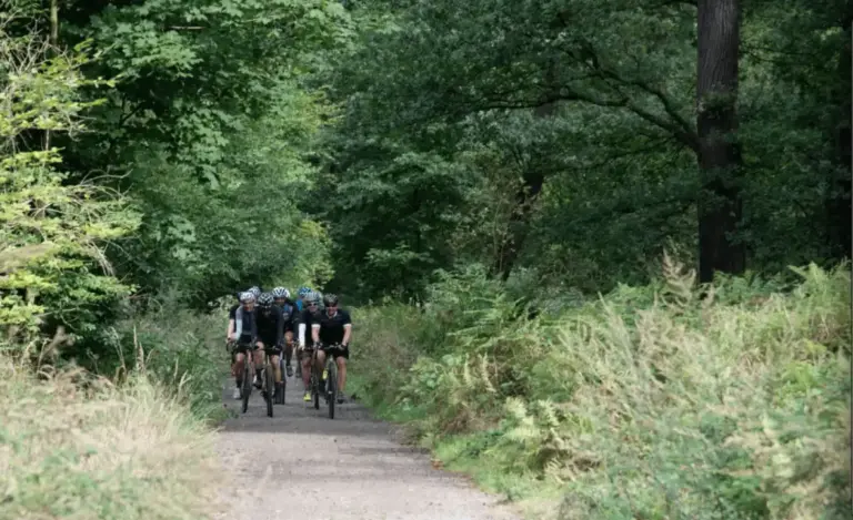
- Race bike and gravel: asphalt over the paths, and in addition there are many forest and gravel paths.
Where are you driving?
- Around Tecklenburg and Ibbenbüren: the western beginning of the valley, with the Dörenther Cliffs and the town of Tecklenburg perched on the hill.
- Around Bielefeld: the city is located right in the forest; from the Sparrenburg you can drive into the forest in no time.
- Around Detmold and Horn-Bad MeinbergThe eastern part, with the Hermann Memorial on the Grotenburg and the Externsteine.
Border route Teuto-Ems
Anyone who wants to leave the Netherlands can take the Grenzgängerroute Teuto-Ems: a long route through the Tecklenburger Land and the Emsland, right across the border, with the Teutoburger Wald as its highest part. Read more about it in our story. Border route Teuto-Ems; the routes are listed below with GPX.
Three rides to get you started
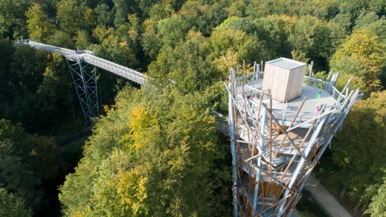
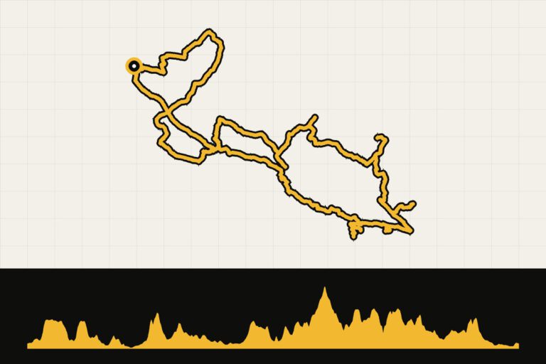
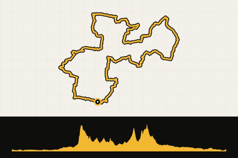
- Mini Alps in the Teutoburg Forest: more than 110 kilometers and always over the bridge.
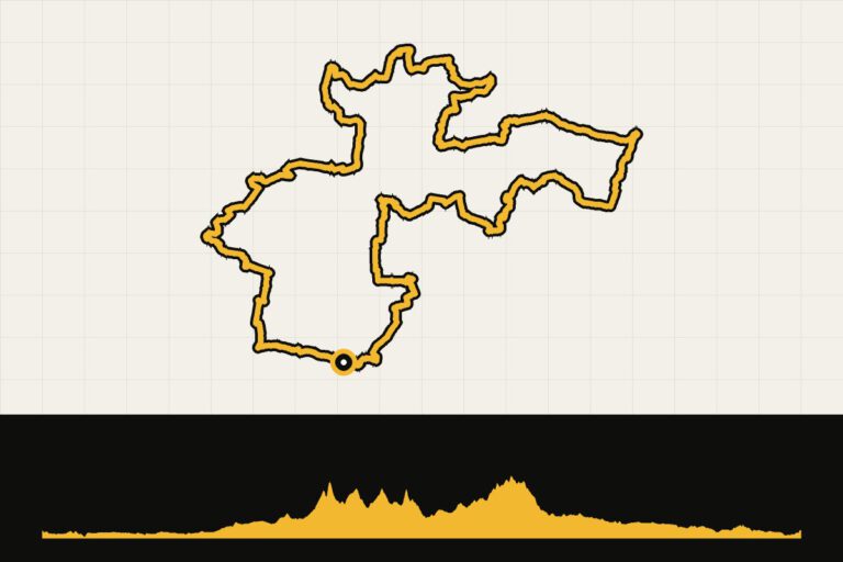
- Along the Hermann Memorial: a round of almost 90 kilometers from Bielefeld to the Hermann Memorial and the Externsteine.
- Cross-border hiking route with climbs: the long variant through the border area.
When are you leaving?
You can cycle here all year round, although the forest paths are often muddy in winter. Spring, when the forest comes to life, and autumn, when the colours change, are the most beautiful seasons. In summer, the forest is pleasantly cool.
How do you get there?
By car, you can reach Tecklenburg in about an hour from Enschede and in an hour and a half in Bielefeld. By train, you can travel via Hengelo or Bad Bentheim to Osnabrück or Bielefeld, by bicycle on the regional train.
This is how we calculate: We calculate distances and travel times starting from Utrecht. Our flights always depart from Schiphol, Rotterdam The Hague Airport or Eindhoven Airport. Want to know how to travel from your place of residence the best way? Let us know, We are happy to help you. After all, we built this site together.
Are you flying? Read our guide Flying with your bike: Which airline, what the cost is and how to pack your bike.
Where to stay?
Tecklenburg is a charming base for the west. Bielefeld is centrally located and has many hotels. For the Hermann Memorial and the Externsteine, you are well served in Detmold or Horn-Bad Meinberg.
See places to stay in: Tecklenburg · Bielefeld · Detmold · Horn-Bad Meinberg
For whom is the Teutoburg Forest?
For cyclists from the East of the Netherlands who are looking for hills nearby, and for anyone who wants to train for a spring classic over the weekend. It’s not as tough as the Ardennes or the Sauerland, but the short steep sections make it a nice training session.