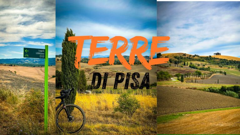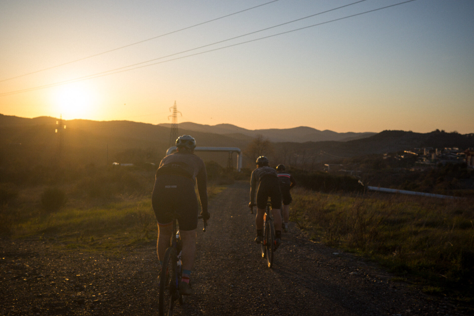
Everyone knows Siena and the Strade Bianche. But around Pisa lies a much less-traveled part of Tuscany, with just as good white roads, cypresses and centuries-old villages, and a lot less crowds.
The Terre di Pisa Biketrail
The biketrail starts at Piazza del Duomo, in front of the Leaning Tower, and is 524 kilometers long. You can ride it in a week, with time to enjoy the surroundings. You can bike pack, but you can also travel from hotel to hotel. If you have less time, take a few days to ride the most beautiful stretches.
What you encounter along the way
- Casciana Terme, the village of the hot springs, and immediately the first climb on gravel.
- The Lago di Santa Luce, a peaceful loop around the lake.
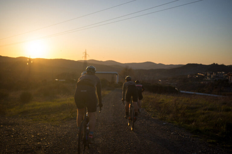
- Rolling hills, forests and white gravel roads, without the rows of cyclists from the famous routes.
The Terre di Pisa Bike Trail in eight days
The Terre di Pisa Bike Trail is a 500-kilometer-long route in eight stages, from Pisa via Volterra and San Miniato back to Pisa. It is the Tuscany of rolling hills, without the crowds of the Strade Bianche. We rode all eight stages.
Multi-day adventure · Gravel
Terre di Pisa Bike Trail
- 8days
- 526km
- 9.950altimeters
- 66km per day
- 1
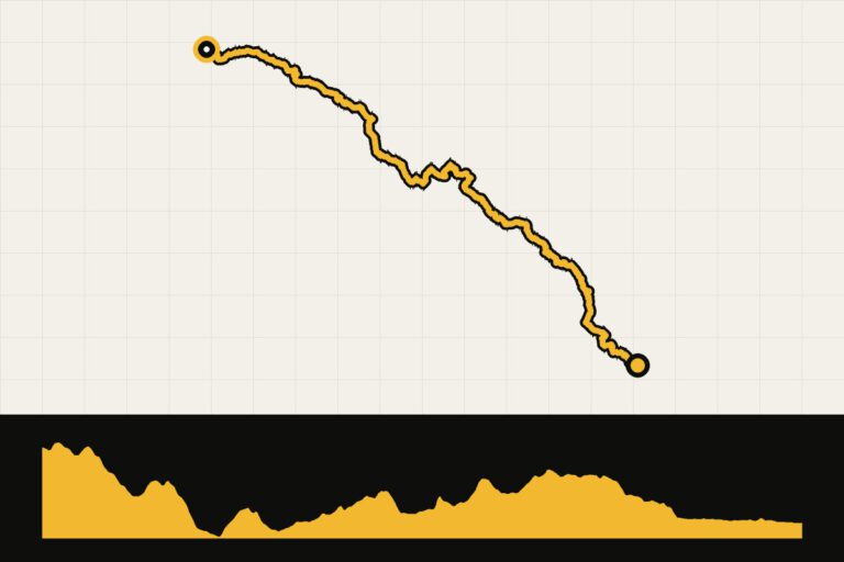
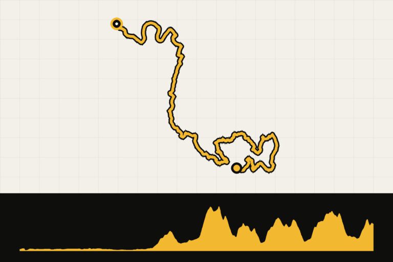 Day 1 · 84.5 km · 916 hmTerre di Pisa Bike Trail Day 1: Pisa to Casciana TermeFrom Pisa to the hills in the direction of Casciana Terme.Map, profile & GPX from day 1 →
 - 2
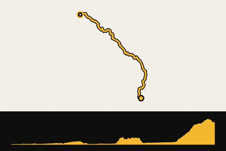
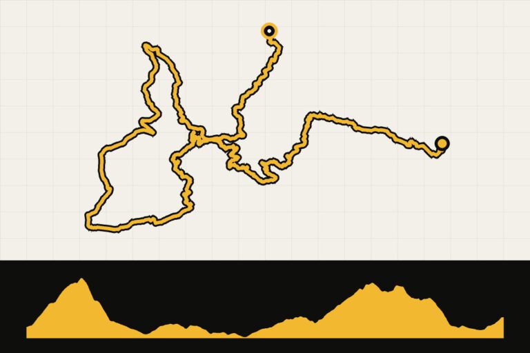 Day 2 · 67.7 km · 1,453 hmTerre di Pisa Bike Trail Day 2: Casciana Terme to LajaticoSturdy climb to Lajatico, the village of Bocelli.Map, profile & GPX of day 2 →
 - 3
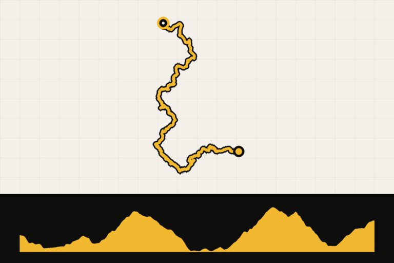 Day 3 · 62.4 km · 1,360 hmTerre di Pisa Bike Trail day 3: Lajatico to PomaranceVia Montecatini Val di Cecina to Pomarance.Map, profile & GPX of day 3 →
 - 4
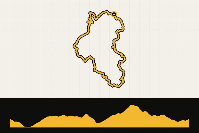 Day 4 · 65.7 km · 1,538 hmTerre di Pisa Bike Trail day 4: tour of PomaranceThrough the geothermal land of Sasso Pisano.Map, profile & GPX of day 4 →
 - 5
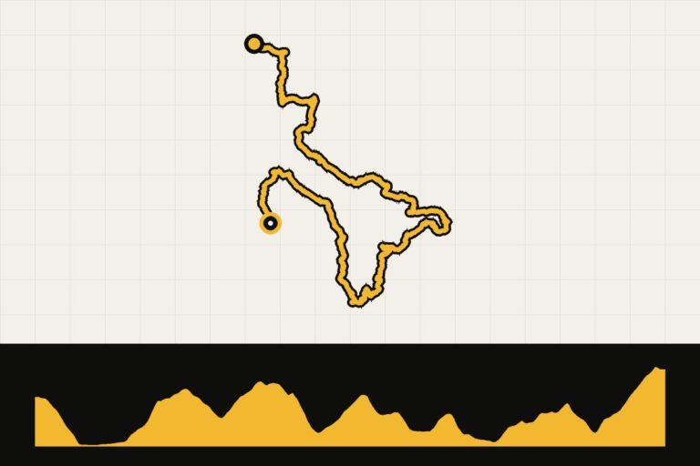 Day 5 · 58.7 km · 1,588 hmTerre di Pisa Bike Trail Day 5: Pomarance to VolterraTo the Etruscan city of Volterra.Map, profile & GPX of day 5 →
 - 6
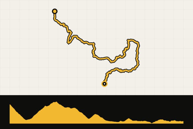 Day 6 · 57 km · 958 hmTerre di Pisa Bike Trail day 6: Volterra to PeccioliFrom Volterra over the hills to Peccioli.Map, profile & GPX of day 6 →
 - 7
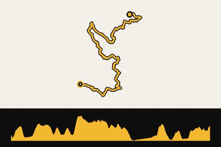 Day 7 · 60 km · 1,233 hmTerre di Pisa Bike Trail day 7: Peccioli to San MiniatoTo San Miniato, the city of the white truffle.Map, profile & GPX of day 7 →
 - 8
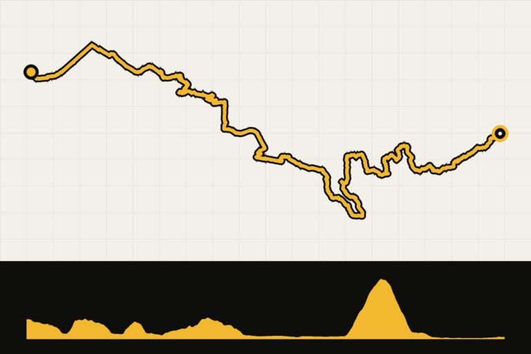 Day 8 · 69.5 km · 904 hmTerre di Pisa Bike Trail Day 8: From San Miniato to PisaBack to Pisa via Monte Pisano.Map, profile & GPX of day 8 →
Your Cycling base
The Terre di Pisa Bike Trail is a circular route, but you can also ride around from a fixed point:
- Pisa: the starting and ending points, with an airport and train connections.
- Volterra: a medieval town on a hill, with beautiful roads leading in all directions.
- Peccioli or Palaia: In the middle of the hills, quiet and close to the gravel roads.
When are you leaving?
Spring (April to June) and autumn (September and October) are ideal. In July and August it is very hot in the interior.
How do you get there?
Fly to Pisa, or travel by train: Pisa is well-connected and the route starts right in the city center.
This is how we calculate: We calculate distances and travel times starting from Utrecht. Our flights always depart from Schiphol, Rotterdam The Hague Airport or Eindhoven Airport. Want to know how to travel from your place of residence the best way? Let us know, We are happy to help you. After all, we built this site together.
Are you flying? Read our guide Flying with your bike: Which airline, what the cost is and how to pack your bike.