Part of Netherlands › Gelderland
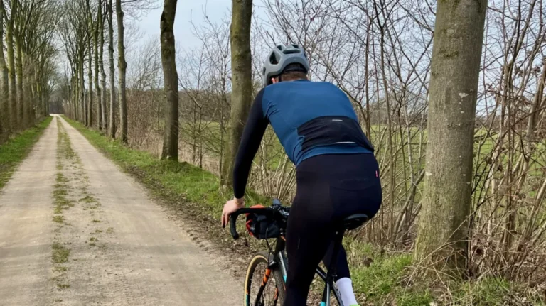
The Achterhoek is the green heart of East Gelderland, sandwiched between the IJssel River and the German border. Small fields, wood fences, streams and farms, connected by hundreds of kilometers of gravel road, cart track and cobbled path. “It seems that gravel was created here,” say those at Outdoor Achterhoek themselves, and anyone who has driven there will not disagree. It is one of the best gravel areas in the Netherlands, an hour and a half’s drive from the Randstad.
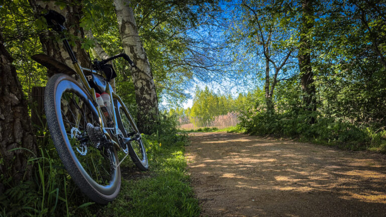
In the past, the Achterhoek was truly the BACKHOLE for many people from the Randstad: far away, behind the IJssel, only when necessary. On the bike, that image completely changes. Long white stretches with no houses, people or animals in sight. Behind every bend, a different view. Or, as Achterhoek Tourism puts it: the landscape is not a backdrop, but a playground.
Why cycle in the Achterhoek?
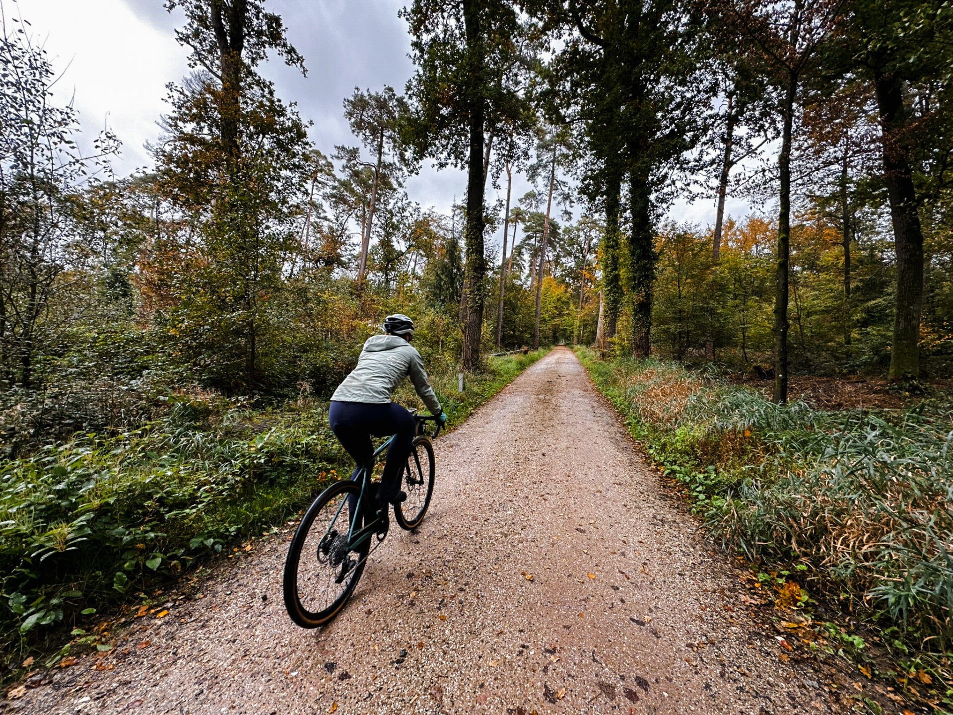
- Coulis landscape. The paths that run in rows are surrounded by trees and hedges. Every few hundred meters the landscape changes, and that makes a flat ride never boring.
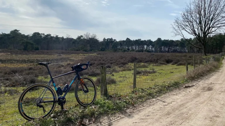
- Unpaved everywhere you look. Old tractor paths, wide dirt roads, narrow church paths that almost all have their own name, and what local Andrea calls “Gucci gravel”: gravel so tight that it almost looks like asphalt. On most routes, 40 to 50 percent is unpaved.
- More curves than you think. No mountains, but around Montferland, Winterswijk and Elten just across the border you can definitely climb up. At Elten there is even an unpaved climb that you can access from multiple directions.
- Castles and manor houses. Around Vorden, the village of the eight castles, Ruurlo and Hackfort, you drive from estate to estate. And in the municipality of Bronckhorst lies the smallest town in the Netherlands: Bronckhorst, with about ninety inhabitants.
- Rest. You rarely encounter other gravel riders. A local lost in the wilderness, an elderly couple on an e-bike, cows, and even alpacas, wallabies, and wombats on the route around Gendringen.
The Strade Bianche Achterhoek
The nickname says it all. Between Hengelo (Gelderland), Zelhem, Lochem, Almen and Laren lie so many long white stretches that the region is affectionately called the Strade Bianche Achterhoek. There is also an event of the same name, and Outdoor Achterhoek has routes of 70 and 101 kilometers of it. We rode a 56-kilometer round from Hengelo: first a few hundred meters of asphalt, and then the fields. Read it in Exploring the Strade Bianche Achterhoek.
Where are you driving?
- Berkelland and Ruurlo. From Hengelo via ’t Zelle, Ruurlo, Beltrum, Neede and Geesteren, along the river Berkel and through the yellow rapeseed fields. Here you can also take a section of the Slinge MTB route. Then head north via the forests of Velhorst to Almen: 55 kilometers, perfect for two hours of fun.
- Around Zelhem. Not the prettiest village, but plenty of nice gravel roads. Our route of almost 75 kilometers takes about three to four hours.
- Ulft and the Old IJssel. Towards the German border. Within two kilometers of the village you are already on the forest paths, and the stretch around Vennebuiten feels like a foreign country. See Gravel route around Ulft.
- Montferland. The hilliest part of the Achterhoek, around Zeddam and ‘s-Heerenberg. Outdoor Achterhoek has gravel routes here ranging from 44 to 71 kilometers.
- Winterswijk and Aalten. The east, with the most beautiful countryside and one of the most dense network of hubs in the Netherlands.
Trails of the Outdoor Achterhoek
Op outdoorachterhoek.nl You’ll find about thirty gravel routes with GPX downloads, compiled by local gravel enthusiasts. From short laps to the 244-kilometer Gravelbikepacktour along Winterswijk, Ruurlo, Neede, Vorden, Terborg, Lochem, and Zelhem. The signposted MTB routes, such as those from Zieuwent, Groenlo, and Winterswijk, don’t have singletracks and are also perfectly suitable for riding with a gravel bike. The Achterhoek is building a 300-kilometer MTB network, and the route near Lochem was already voted the best MTB route in the Netherlands.
On the race bike, the Achterhoek is just as beautiful: quiet dirt roads, winding along fields and estates, on which you can drive for 70 to 90 kilometers. The “Ode aan het landschap” circuit shows the entire landscape in 360 kilometers. It is signposted, you can ride it in stages, and it was a finalist in 2026 for the Cycling Route of the Year.
The Gravel Code
Not every unpaved path is a cycling path, even though your GPS sometimes tells you something different. Outdoor Achterhoek therefore asks for three things: Be nice, say hi (and here you say “moi”), Enjoy nature (take your banana peel with you home) and stay on track. Between March 15 and July 15 is the breeding season: please be extra careful on the paths. Anyone who sees Gravelcode signs the agreement, gets access to additional legal routes from route manager Gijs Bruinsma.
EK Track Cycling in Zeddam
On November 7 and 8, 2026, the World Track Cycling Championships will be held in Zeddam, in Montferland. A great excuse to take a trip to the hills around Zeddam that week.
The campaign also runs until October 25, 2026. “The Achterhoek is kicking off”Collect stamps along the Ode-aan-het-landschap route at restaurants along the way, and from five stamps you can win, among other things, tickets for the European Championship.
On the way: coffee, lunch and pancakes
- Pancakes at De Heikamp in Ruurlo, right next to the MTB route.
- Lunch or drinks at Het Wapen van Heeckeren, if you are driving south.
- Ice cream at Langeler in Hengelo.
- Coffee and hearty sandwiches at Café Motto in Gendringen.
- Warm chocolate milk after a wet ride at De Heeren van Wolfersveen.
And if it gets really crazy: castles, museums and tastings at local breweries and winemakers. A morning ride of 50 kilometers, in the afternoon a brewery, and in the evening a local beer on a terrace in Bredevoort or Dinxperlo.
Gravel routes in the Achterhoek
The Achterhoek is one of the best gravel routes in the Netherlands: sandy roads, trails and fields up to the German border. Outdoor Achterhoek put together dozens of gravel routes; here you’ll find them all, from a one-hour ride to a 340-kilometer bikepacking trip.
Route collection · Gravel
Gravel routes in the Achterhoek
- 28routes
- 12–341km per ride
- 239max. altitude meters
- 2.616km in total
- 1
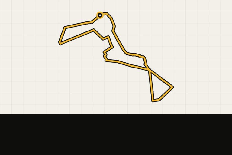 Route 1 · 12.3 km · 0 hmAchterhoek gravel: Gorssel-NoordShort walk around the forest near Gorssel.Map, profile & GPX of route 1 →
 - 2
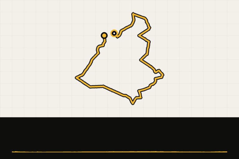 Route 2 · 15.9 km · 10 hmAchterhoek gravel: BorculoShort walk through the woods near Barchem.Map, profile & GPX of route 2 →
 - 3
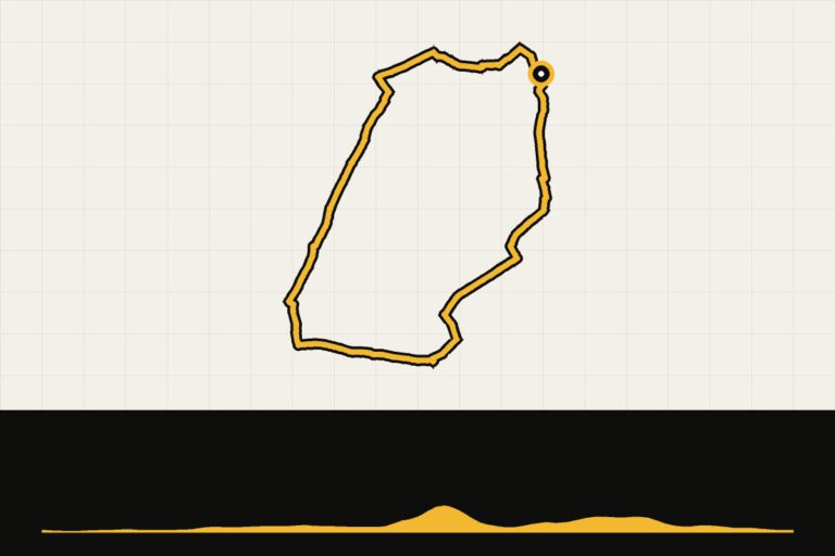 Route 3 · 17.7 km · 60 hmAchterhoek gravel: Montferland, 18 kmShort and hilly through the Bergher Forest.Map, profile & GPX of route 3 →
 - 4
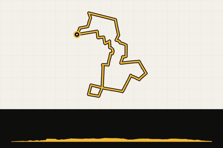 Route 4 · 18.3 km · 48 hmAchterhoek gravel: VragenderShort walk around Vragender.Map, profile & GPX of route 4 →
 - 5
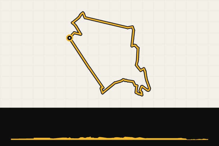 Route 5 · 25.9 km · 18 hmAchterhoek gravel: GroenloFrom Groenlo to Meddo and back.Map, profile & GPX of route 5 →
 - 6
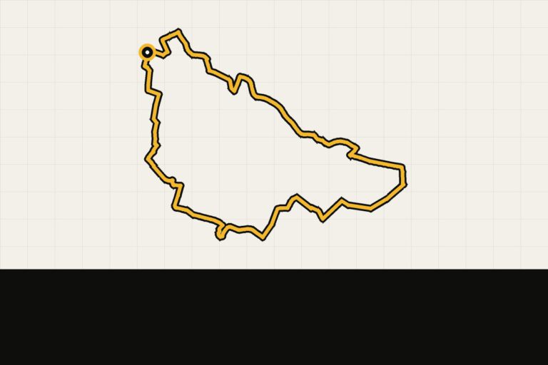 Route 6 · 27.3 km · 0 hmAchterhoek gravel: NeedeShort ride around Neede.Map, profile & GPX of route 6 →
 - 7
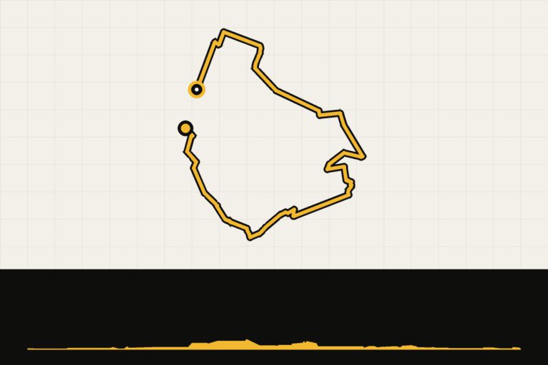 Route 7 · 40.2 km · 30 hmAchterhoek gravel: ZieuwentThrough the heart of the Achterhoek via Zieuwent.Map, profile & GPX of route 7 →
 - 8
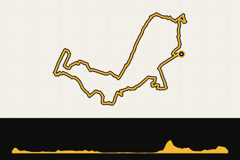 Route 8 · 44.3 km · 154 hmAchterhoek gravel: Montferland, 44 kmMontferland and the Eltenberg in 44 km.Map, profile & GPX of route 8 →
 - 9
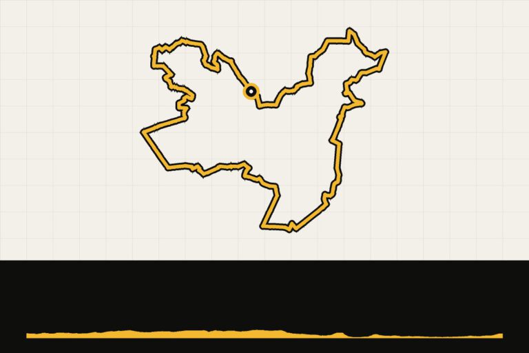 Route 9 · 46.6 km · 54 hmAchterhoek gravel: WinterswijkThrough the neighborhoods around Winterswijk.Map, profile & GPX of route 9 →
 - 10
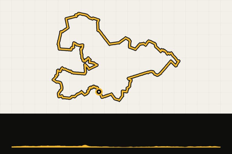 Route 10 · 52.6 km · 38 hmAchterhoek gravel: from Oetdoor in HaarloFrom Haarlo via Neede and Barchem.Map, profile & GPX of route 10 →
 - 11
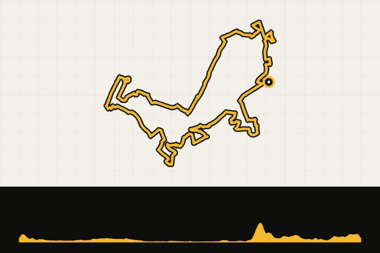 Route 11 · 55.4 km · 149 hmAchterhoek gravel: Montferland, 55 kmMontferland and the Eltenberg in 55 km.Map, profile & GPX of route 11 →
 - 12
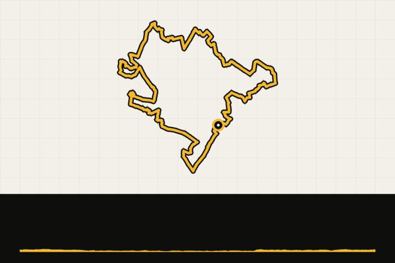 Route 12 · 61.4 km · 37 hmAchterhoek gravel: from De Heikamp in RuurloFrom Van Ruurlo via Vorden to Lochem.Map, profile & GPX of route 12 →
 - 13
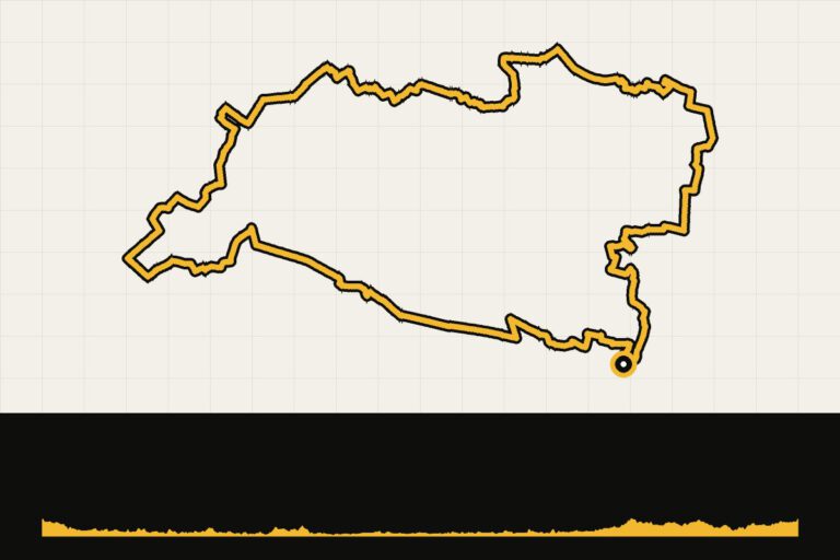 Route 13 · 61.9 km · 152 hmAchterhoek gravel: Aalten, 62 kmFrom Aalten via Zelhem and Zieuwent.Map, profile & GPX of route 13 →
 - 14
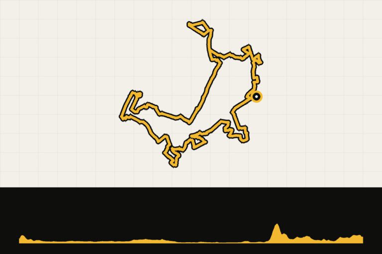 Route 14 · 65.2 km · 155 hmAchterhoek gravel: Montferland, 65 kmMontferland and the Rijnstrangen.Map, profile & GPX of route 14 →
 - 15
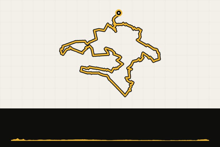 Route 15 · 68.2 km · 46 hmAchterhoek gravel: Strade Bianche, 70 kmShort Strade Bianche from Lochem.Map, profile & GPX of route 15 →
 - 16
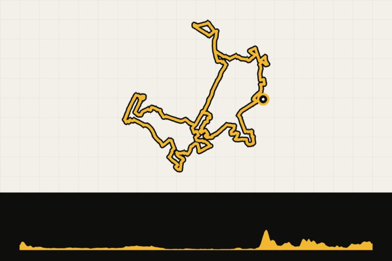 Route 16 · 74 km · 201 hmAchterhoek gravel: Montferland, 74 kmThe longest Montferland route, with Rijnstrangen.Map, profile & GPX of route 16 →
 - 17
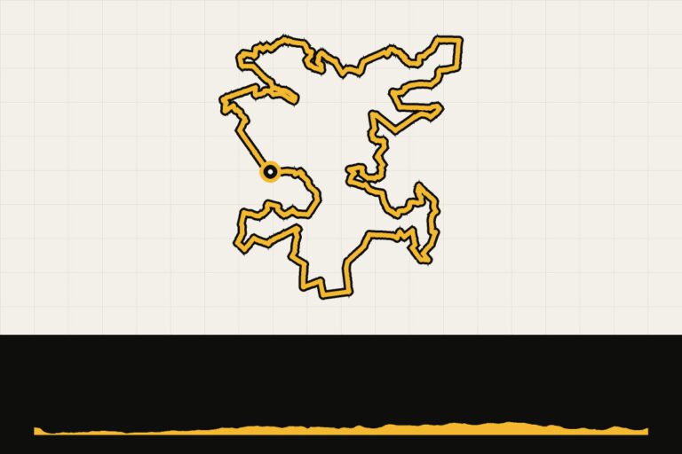 Route 17 · 74 km · 79 hmAchterhoek gravel: extremely unpaved with GrintaWinterswijk unpaved, with Grinta.Map, profile & GPX of route 17 →
 - 18
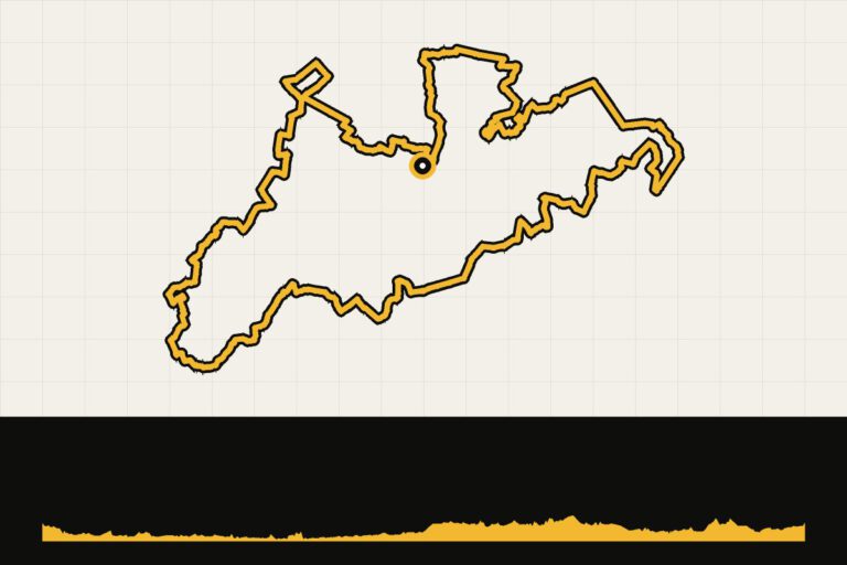 Route 18 · 79.7 km · 169 hmAchterhoek gravel: Aalten, 80 kmVan Aalten through the winterswijk landscape.Map, profile & GPX of route 18 →
 - 19
 Route 19 · 85.8 km · 124 hmAchterhoek gravel: Ruurlo, 86 kmFrom Ruurlo via Beltrum and Borculo.Map, profile & GPX of route 19 →
 - 20
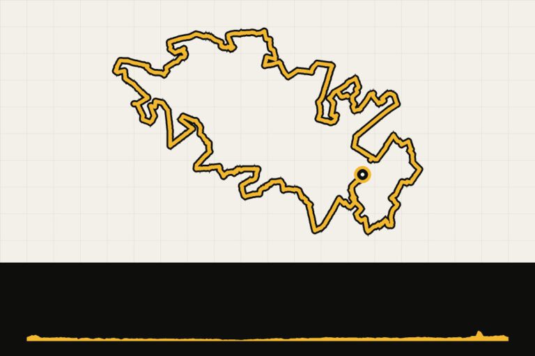 Route 20 · 100.9 km · 74 hmAchterhoek gravel: Strade Bianche, 100 kmStrade Bianche from Lochem to the IJssel.Map, profile & GPX of route 20 →
 - 21
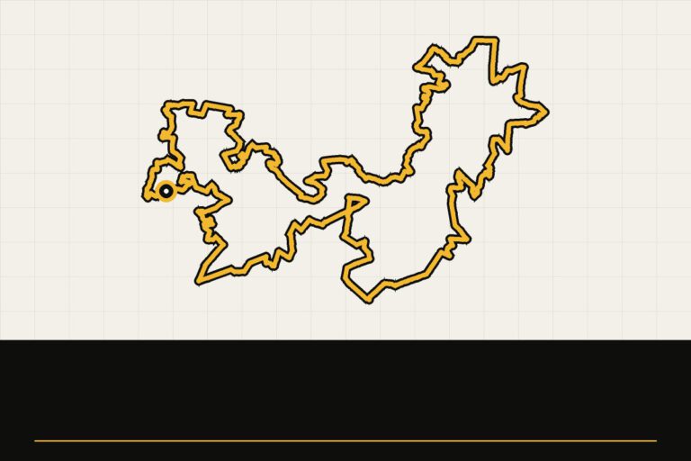 Route 21 · 102.9 km · 0 hmAchterhoek gravel: Groene Grens100 km along and over the German border.Map, profile & GPX of route 21 →
 - 22
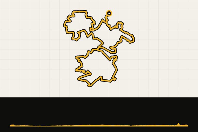 Route 22 · 110.3 km · 69 hmAchterhoek gravel: Strade Bianche, 110 kmThe long Strade Bianche of the Achterhoek.Map, profile & GPX of route 22 →
 - 23
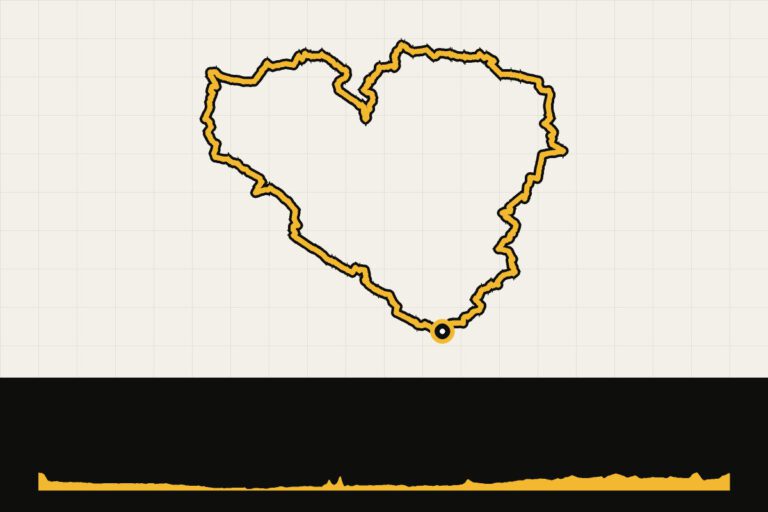 Route 23 · 125.1 km · 102 hmAchterhoek gravel: the gravel heart of the Achterhoek125 km through the heart of the Achterhoek.Map, profile & GPX of route 23 →
 - 24
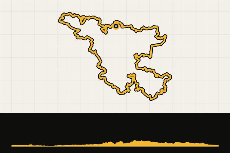 Route 24 · 201.9 km · 125 hmAchterhoek bikepacking: extremely unpaved in two daysTwo-day bikepacking, 200 km.Map, profile & GPX of route 24 →
 - 25
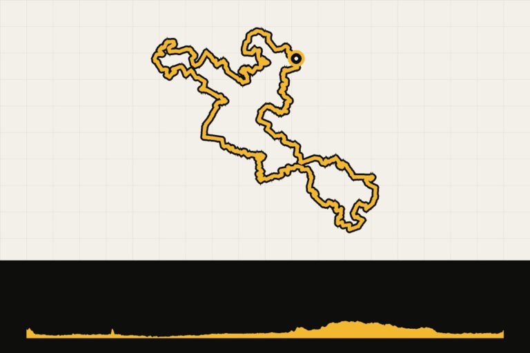 Route 25 · 205.7 km · 128 hmAchterhoek bikepacking: 206 kmBikepacking through the Achterhoek, 206 km.Map, profile & GPX of route 25 →
 - 26
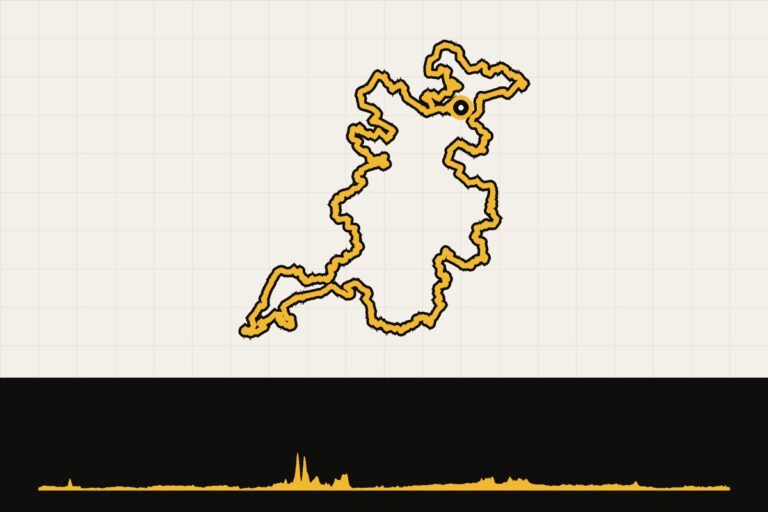 Route 26 · 246 km · 239 hmAchterhoek bikepacking: gravel adventure by VelozineBikepacking with Velozine, 246 km.Map, profile & GPX of route 26 →
 - 27
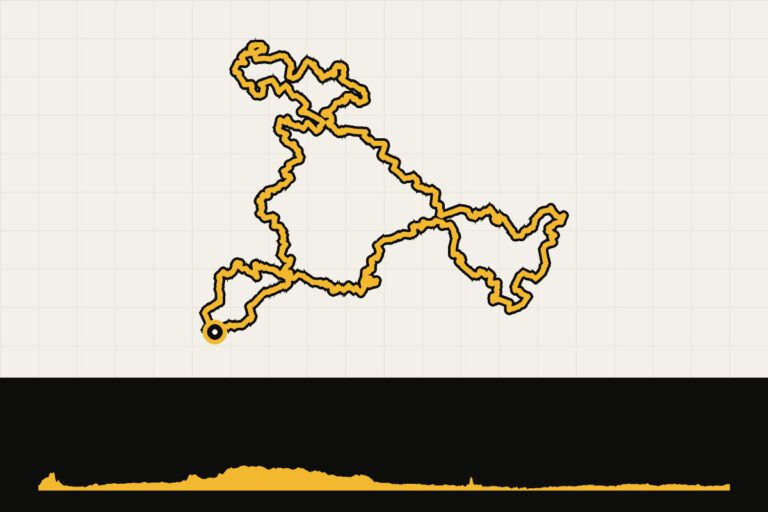 Route 27 · 256.2 km · 131 hmAchterhoek bikepacking: 256 kmBiking from 's-Heerenberg, 256 km.Map, profile & GPX of route 27 →
 - 28
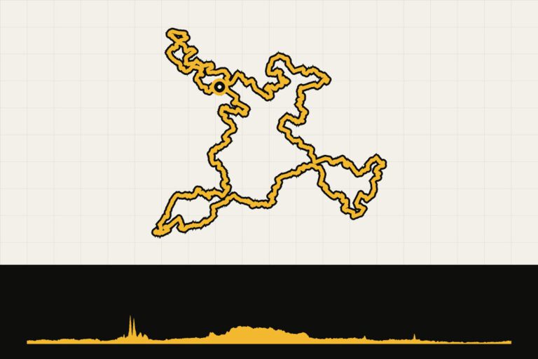 Route 28 · 340.7 km · 216 hmAchterhoek bikepacking XL: 340 kmXL-bikepacking, 340 km.Map, profile & GPX of route 28 →
When are you leaving?
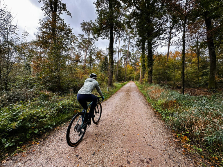
From March to November. In the spring, the rapeseed fields and meadows are in bloom; in the autumn, the forests turn orange. After a lot of rain, sandy roads can be soft, so choose a route with more forest paths instead.
How do you get there?
Take the train to Winterswijk, Lochem, Ruurlo or Doetinchem, or drive in an hour and a half from the Randstad area. There are also hotel-to-hotel packages with luggage transport. Be sure to check that your address has a closed bicycle storage area, a cleaning area and an early breakfast.
This is how we calculate: We calculate distances and travel times starting from Utrecht. Our flights always depart from Schiphol, Rotterdam The Hague Airport or Eindhoven Airport. Want to know how to travel from your place of residence the best way? Let us know, We are happy to help you. After all, we built this site together.
Are you flying? Read our guide Flying with your bike: Which airline, what the cost is and how to pack your bike.
From our stories
- Luxurious gravel at Landal De WeelderikFive routes from Hengelo, with a private plunge pool as a reward.
- A gravel weekend at Landal Stroombroek: on a gravel safari with the local legend Andrea.
- Gravel in the Achterhoek: the latest hit?Nynke rode the Graveltour Montferland.
- Spring in the Achterhoek: the coulissel landscape as a playground for your first long rides.
More stories about Achterhoek
Events in Achterhoek
2026Harm Takke GravelrideDinxperlo, Netherlands · 81, 60, 40 kmgravel11 Oct
2026Vlearmoost pilgrimage GRAVELNeede, Netherlands · 85, 55 kmgravel18 Oct
2026Porskamp Inst. Technology Lus of Beltrum GravelBeltrum, Netherlands · 100, 75, 50 kmgravel25 Oct
2026Gravel GrenzmeisterEibergen, Netherlands · 95, 75, 50 kmgravel1 Nov
2026Grensland GraveltourWinterswijk, Netherlands · 80, 60 kmgravel15 November
2026Peddelaars Graveltour AaltenAalten, Netherlands · 80 kmgravel22 Nov
2026Achterhoeks Argste / Vishandel Bomers GravelrideLichtenvoorde, Netherlands · 100, 75, 50 kmgravel29 November
2026Gravel tour and field trip Toerclub ZelhemZelhem, Netherlands · 80, 40 kmgravel