Part of Netherlands › Limburg
South Limburg is the only part of the Netherlands where you can really climb. The Heuvelland between Maastricht, Valkenburg and Vaals is full of short, steep slopes, narrow roads and half-timbered houses, with a terrace every few kilometers.
Why cycle in Zuid-Limburg?
- The classics: Cauberg, Keutenberg, Eyserbosweg, Camerig and the Gulpenerberg.
- De Vaalserberg: at 322 meters, the highest point of European Netherlands, near the Three-Country Point.
- The permanent routes of the Amstel Gold Race, which can be ridden all year round.
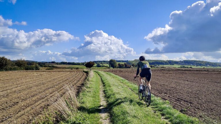
- Unpaved roads and country roads through the heartland, also nice on the gravel bike.
- The Voerstreek in Belgium is right across the border.
More than climbing
South Limburg is more than just the Cauberg. The network of cycle routes also takes you through forests, over the heath and along the water, and many cycling routes lead effortlessly to Belgium and Germany.
- The Gravel World Championships. In October 2025, the Gravel World Championships were held in Zuid-Limburg. Visit South Limburg has the route online, so you can drive it yourself.
- Sloping roads and steep forests. Typical of South Limburg: deeply worn roads through the forest, with a canopy that provides cooling on hot days.
- The Brunssummerheide. The only large heath area in South Limburg: 1,800 hectares of forest, heathland, fens and marshland. It turns purple in August and September.
- Along the Maas and the Geul. Wide paths and flat kilometers along the Maas, or along the Geul, the fastest-flowing river in the Netherlands.
- Over an ancient seabed. The yellow marl is the bottom of a subtropical chalk sea from 70 million years ago. You see it everywhere, in the growth zones, the hollow roads and the houses.
- Without borders. Routes like the Three Borders route in Vaals and the Three Countries route in Sittard-Geleen thus go into Belgium and Germany.
For a peaceful day, there are signposted routes such as the Heuvelland Cycle Route (41 km, from Sint-Pietersberg to Vaalserberg), the Bloesem Cycle Route around Eijsden, Mesch and Sint Geertruid, and the Route of Wonder with over thirty ‘wonder spots’.
Our gravel routes in South Limburg
Five gravel routes through the Heuvelland: narrow roads, gravel paths through the fields, the Voerstreek across the border and the training route for the Gravel World Championships 2025.
Route collection · Gravel
Gravel in Zuid-Limburg
- 5routes
- 61–92km per ride
- 1.359max. altitude meters
- 394km in total
- 1
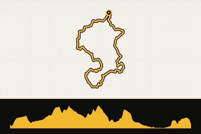
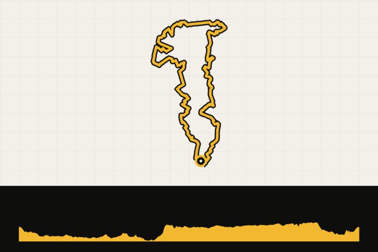
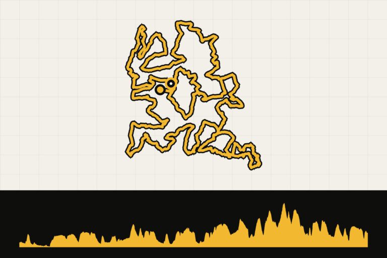
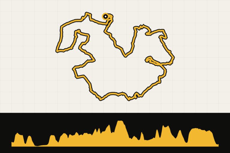
 Route 1 · 79.9 km · 1,064 hmSouth Limburg gravel: the same Limburg, but a different worldPoor roads and gravel: over 1,000 km through the Heuvelland.Map, profile & GPX of route 1 →
- 2
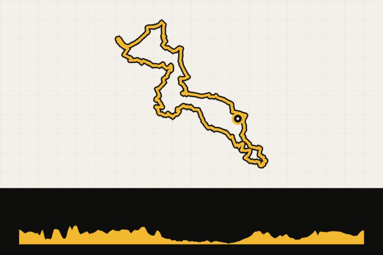
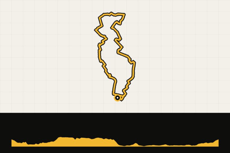
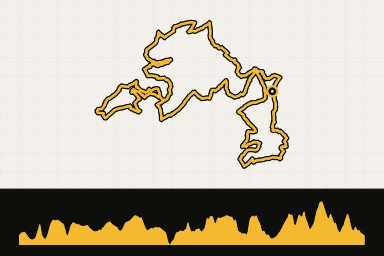
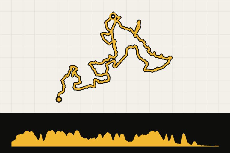 Route 2 · 81.6 km · 726 hmSouth Limburg gravel: training route for the 2025 World Gravel ChampionshipsAbout the roads of the Gravel World Championships 2025.Map, profile & GPX of route 2 →
- 3
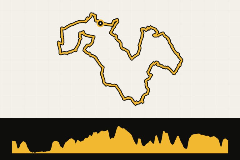
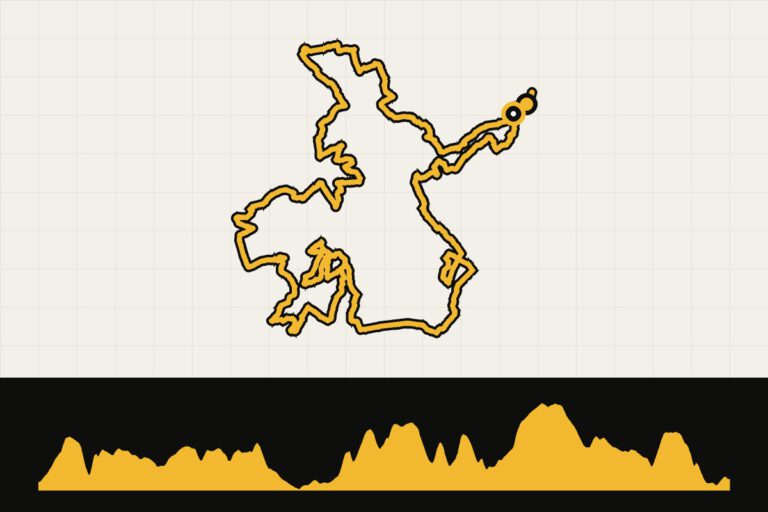 Route 3 · 80 km · 1,052 hmSouth Limburg gravel: the best of both worldsGravel through Zuid-Limburg and the Voerstreek region.Map, profile & GPX of route 3 →
- 4
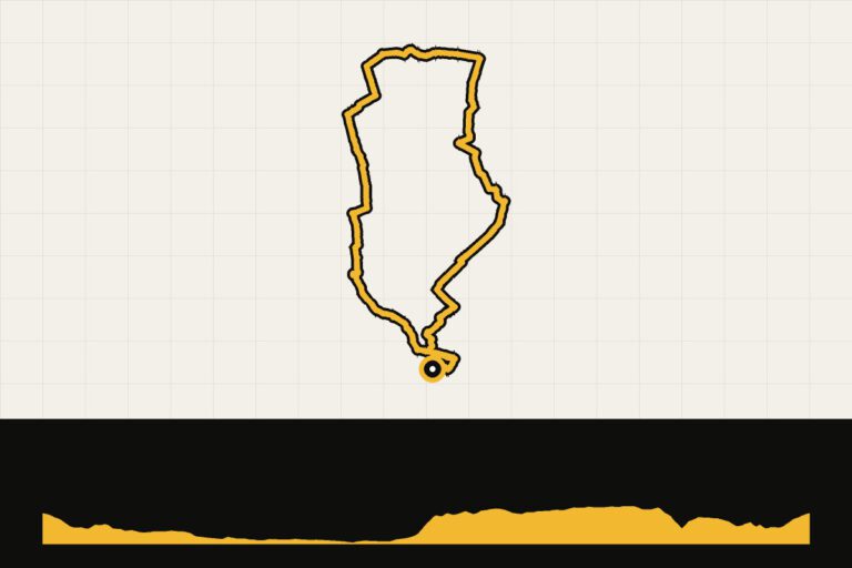
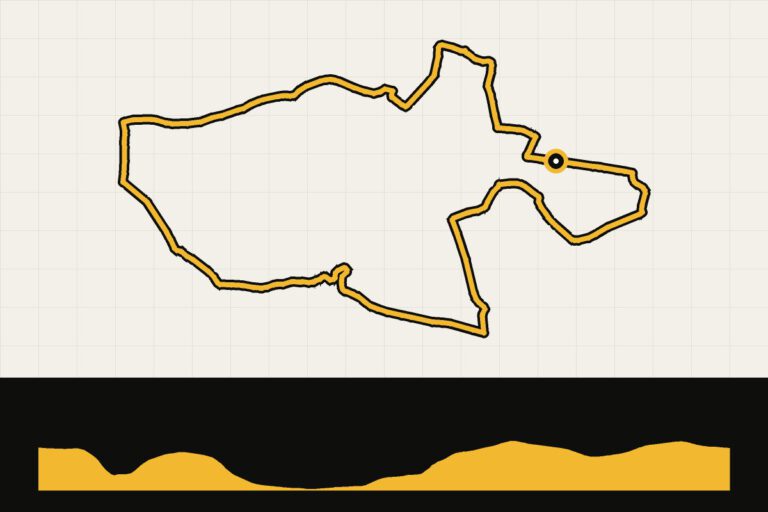
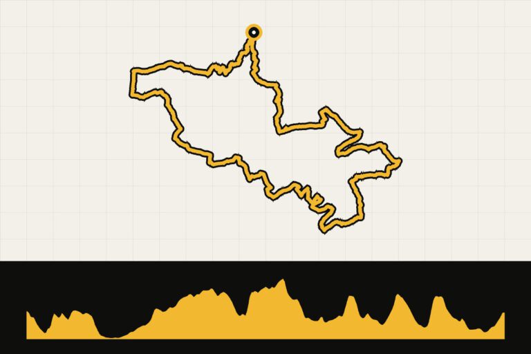 Route 4 · 61 km · 738 hmSouth Limburg gravel: you want to come back hereThe best of the Heuvelland in 61 km.Map, profile & GPX of route 4 →
- 5
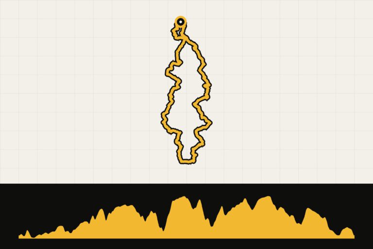 Route 5 · 91.8 km · 1,359 hmSouth Limburg gravel: from Sint Geertruid to BanneuxAcross the border to the Land of Herve.Map, profile & GPX of route 5 →
The four loops of the Amstel Gold Race 365
Riding the entire course of the Amstel Gold Race all year round? That’s possible with the four signposted loops of the Amstel Gold Race 365, all from Valkenburg. From a leisurely start to the real work with the Cauberg, the Keutenberg and the Eyserbosweg.
Route collection · Race bike
Amstel Gold Race 365: the four loops
- 4routes
- 76–91km per ride
- 1.220max. altitude meters
- 333km in total
- 1
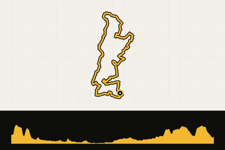 Route 1 · 81 km · 473 hmAmstel Gold Race 365: leg 1, the calm build-upThe quietest loop: getting to know the Heuvelland.Map, profile & GPX of route 1 →
- 2
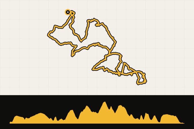 Route 2 · 85.4 km · 1,220 hmAmstel Gold Race 365: leg 2, the real workThe real work: 1,200 hm over the AGR slopes.Map, profile & GPX of route 2 →
- 3
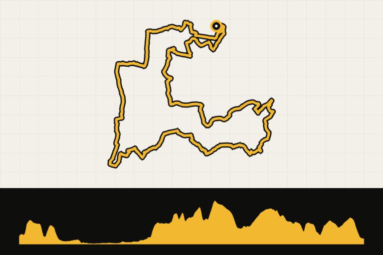 Route 3 · 75.7 km · 728 hmAmstel Gold Race 365: loop 3, the hidden gemsThe hidden gems of the Heuvelland.Map, profile & GPX of route 3 →
- 4
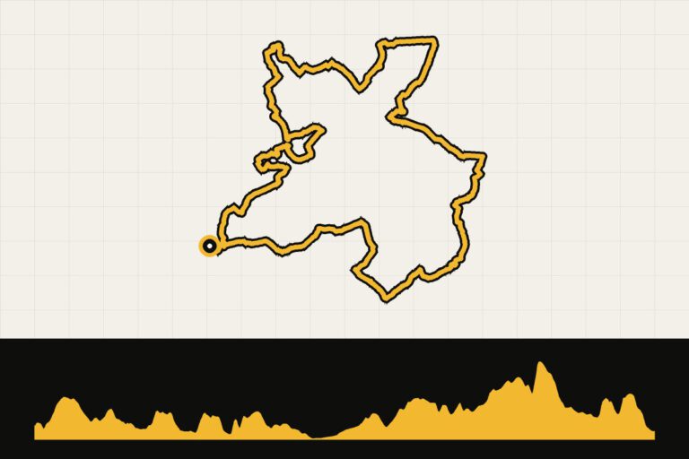 Route 4 · 91.3 km · 755 hmAmstel Gold Race 365: loop 4, new terrainNew and unknown terrain, over 90 km.Map, profile & GPX of route 4 →
Your Cycling base
South Limburg is small enough to get around in one place. Yet there are differences:
- Valkenburg: the most famous cycling village, at the foot of the Cauberg and on the route of the Amstel Gold Race.
- Gulpen: centrally located in the Heuvelland, with the Gulperberg and the Eyserbosweg nearby.
- Epen or Vijlen: the steepest and greenest part of Limburg, near the Vaalserberg, the Camerig and the Belgian border.
- MaastrichtFor those who want a city, with the Voerstreek and Haspengouw region in Belgium just around the corner.
When are you leaving?
From March to October. Around the Amstel Gold Race in April it is busy; in May, June and September you have the slopes to yourself more.
How do you get there?
By train to Maastricht or Valkenburg, or by car in two to two and a half hours from the Randstad area. Maastricht Aachen Airport is located nearby.
This is how we calculate: We calculate distances and travel times starting from Utrecht. Our flights always depart from Schiphol, Rotterdam The Hague Airport or Eindhoven Airport. Want to know how to travel from your place of residence the best way? Let us know, We are happy to help you. After all, we built this site together.
Are you flying? Read our guide Flying with your bike: Which airline, what the cost is and how to pack your bike.
Events in South Limburg
2026Gravel tour As 65 km and 80 km (only on gpx)As, Belgium · 80, 65 kmgravel8 November
2026Gravel tourHeusden-Zolder, Belgium · 70 kmgravel14 Nov
2026Euregio MTB & Gravel ClassicMaasmechelen, Belgium · 110, 80, 50 kmgravel21 Nov
2026Euregio MTB & Gravel ClassicMaasmechelen, Belgium · 55, 44, 34, 23 kmgravel28 Mar
2027Gulpense Gravel Tour SpringGulpen, Netherlands · 100 kmgravel4 April
2027NXT Classic GravelEijsden, Netherlands · 75 kmgravel17 April
2027Tour version of Amstel Gold RaceValkenburg, Netherlands · Multiple distancesrace bike8 May
2027Marly Grav (UCI Gravel World Series)Valkenburg, Netherlands · 104, 150 kmgravel