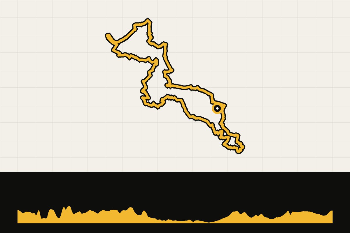
Map & elevation profile
Gravel across the border: South Limburg and Belgian Limburg GPX
no elevation data
| name: | no data |
| distance: | no data |
| minimum elevation: | no data |
| maximum elevation: | no data |
| elevation gain: | no data |
| elevation loss: | no data |
| duration: | no data |
A gravel round from Maastricht to Belgian Limburg and back. From Maastricht-west you drive past the vineyard of the Apostelhoeve and Château Neercanne across the border, and via border pillar 79 and Mopertingen to the Munsterbos forest. Then follow forest paths and gravel tracks around Zutendaal, the Sledderzee and the Devils' Cave, a coffee stop at the Kanaalbar on the Albert Canal and the green tunnel of the Winkelomstraat back towards Maastricht. Flat to hilly terrain with short climbs around Neercanne. Route: Cycling Destination (Komoot).