Part of Spain
When the days are short and rainy in the Netherlands, they ride in shorts on Gran Canaria. The island has been a regular winter destination for professional teams and enthusiasts for years, and that’s logical: from November to April, the coast has 20 to 25 degrees, and there is hardly a meter of flat ground. Unlike Tenerife, where everything revolves around the Teide, Gran Canaria is versatile. From the seaside resorts in the south, you can climb from the sea in a few hours to almost 2,000 meters through ravines, pine forests, and villages with terraces.
Why cycle in Gran Canaria?
- Winter sunshine. In February we drove there at 23 to 25 degrees at the coast. Be sure to bring a jacket: in the mountains it can be ten degrees colder.
- Climbing from the front door. From Maspalomas, the first climb begins before you even leave the built-up area.
- Variety. Green valleys with almond blossoms in the middle, rugged canyons in the south, and a wild west coast.
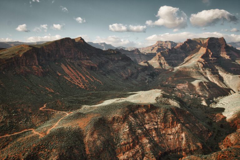
- Also off-road. For gravel and mountain biking, the island is at least as good, with unpaved roads through valleys that resemble the Grand Canyon.
Starting point: Maspalomas
We always choose the south. Las Palmas in the north is a busy city and you’re already on the road before you reach the beautiful roads. Sleeping in the mountains is also possible, but then you end every ride with a climb. Maspalomas and Playa del Inglés are on the sunny side, close to the most beautiful climbs, and there are plenty of bike rental shops. Ruth stayed at Dunas Suites & Villas, where bike rental company Free Motion is located next to the reception. Handy: via Free Motion you can also arrange a taxi-bus that takes you and your bike to the middle of the island, for a ride without the long uphill climb.
The climbs
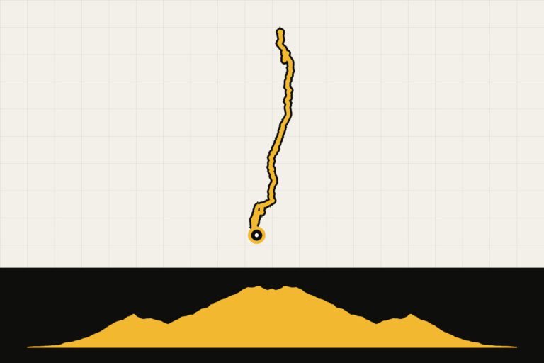
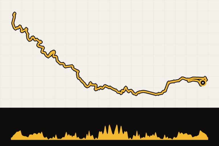
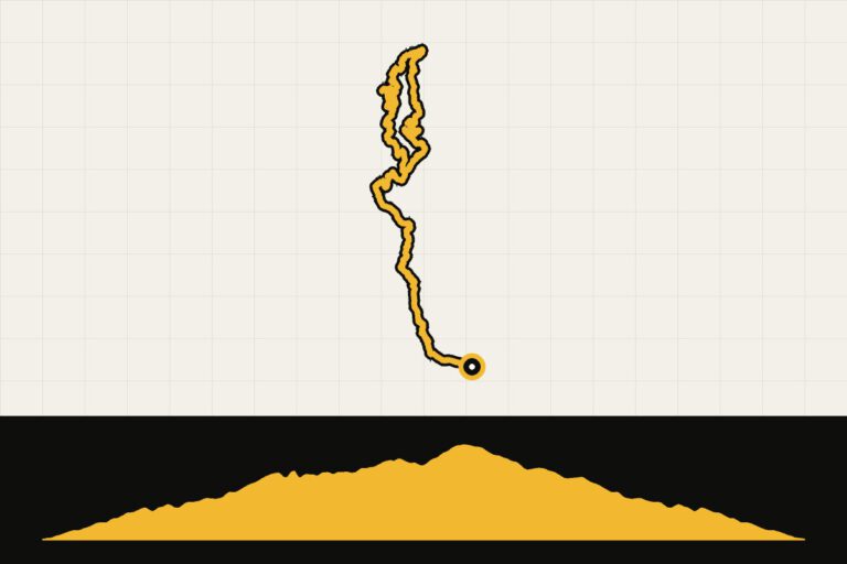
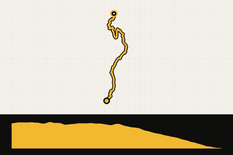
- Pico de las Nieves. The highest point on the island and the monster climb from Maspalomas: 44.8 kilometers with 2,005 meters of elevation gain. The average of 5.5 percent sounds mild, but there are three descents, so the rest really hurts. Actually, it’s four climbs in one, with a final stretch of over 15 kilometers.
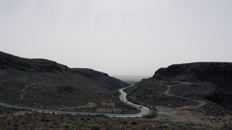
- Valle de las Lágrimas (Valley of Tears). The most photographed climb on the island, over GC-606 towards GC-60 near Tejeda: 10.6 kilometers with 976 meters of elevation gain, and a stretch of about one hundred meters that goes towards 25 percent.
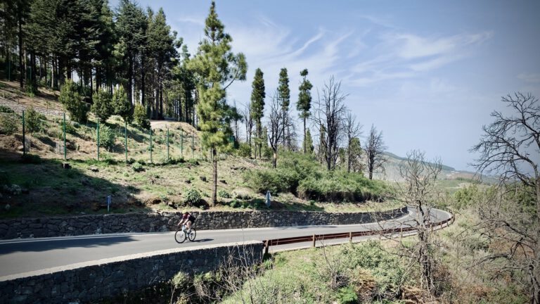
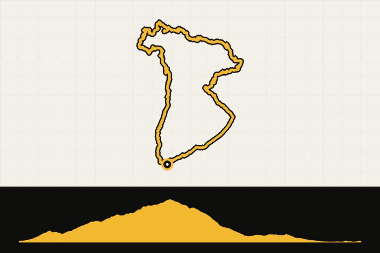
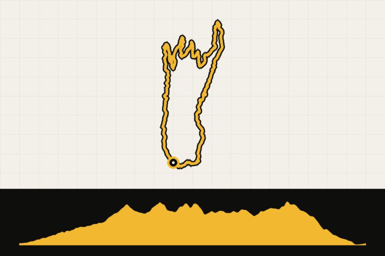
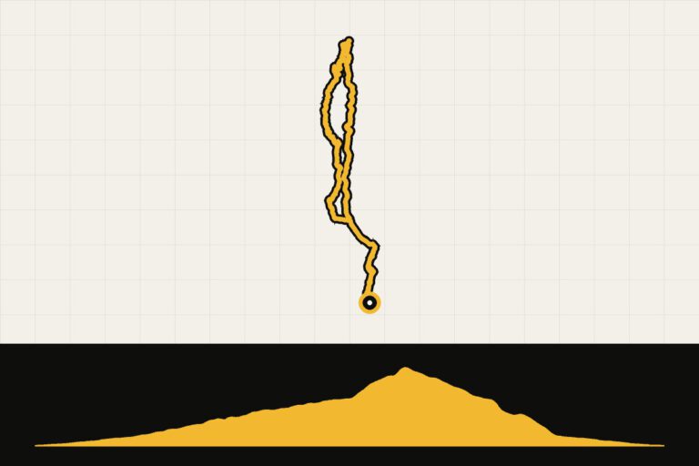
- Degollada de las Yeguas in Fataga. The classic for the first day: from Maspalomas up to the viewpoint at the Degollada de las Yeguas (4 to 8 percent), down and then via the hairpin bends of Fataga to San Bartolomé de Tirajana (Tunte). Ruth rode it as a round of about 70 kilometers with 1,369 meters of elevation gain. Tip: return the same way instead of via Santa Lucía. Then you get to enjoy the beautiful climb again from the other side.
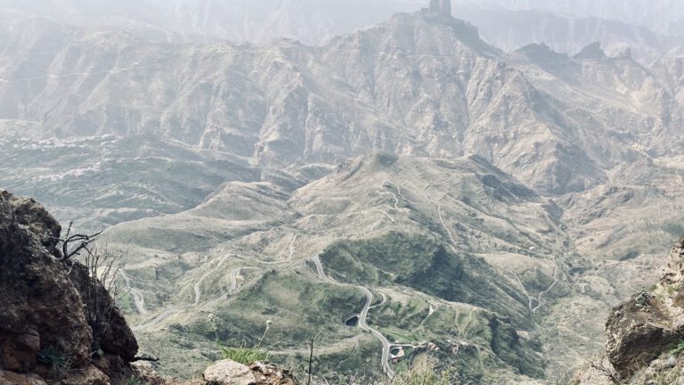
- Cruz de Tejeda. In the green heart of the island. The direct road from Tejeda is very steep; a local tip is the longer route via the GC-608 and the GC-156 along the village of La Culata, with bright green rock walls and palm trees.
A tour of the island
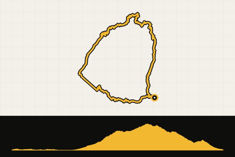
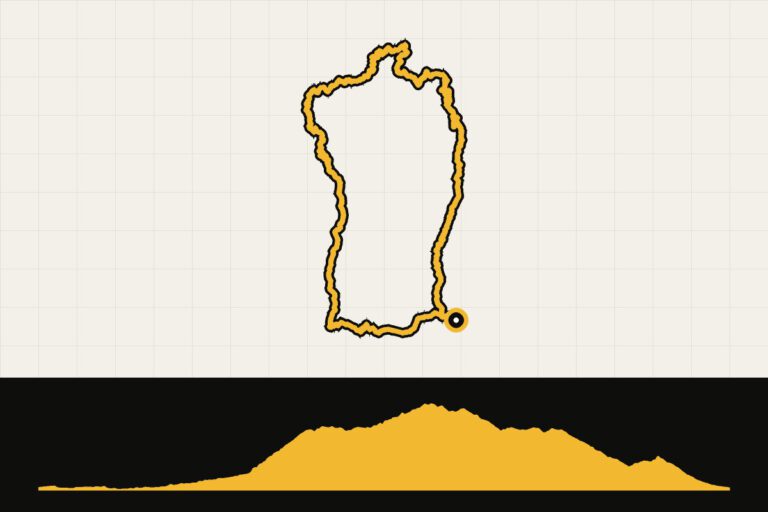
Do you want to see the island in one go? A round trip along the coast is over 200 kilometers, with almost 3,800 meters of elevation gain. The stretch along the west coast through the Tamadaba nature reserve is one that’s worth framing; also take the lighthouse at Punta de Sardina with you. The stretch from Las Palmas to the airport is a bit of a slog.
Gravel and mountain bike
Ella explored the island for us on her mountain bike. Her recommendations:
- Alto de los Corrales (GC-604). Ten north-west of Maspalomas. The road is never finished: after 19 kilometers of asphalt (with sections up to 17 percent), the gravel begins, and then you have the valleys to yourself.
- Ayagaures. Via the GC-504 to the village of Ayagaures, over the dam and then along a gravel road along the edges of the valleys, as if you were driving in the Grand Canyon.
- El Diablo Trail. For experienced mountain bikers: from Cruz Grande, a rocky, technical singletrack deep into the valley.
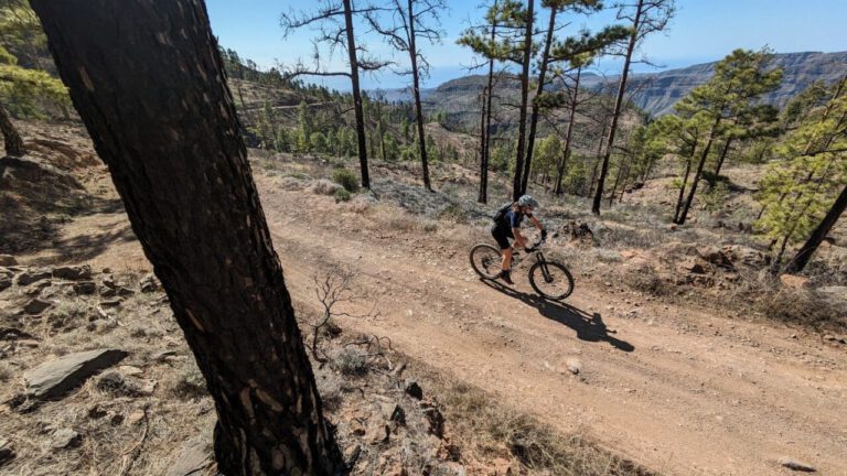
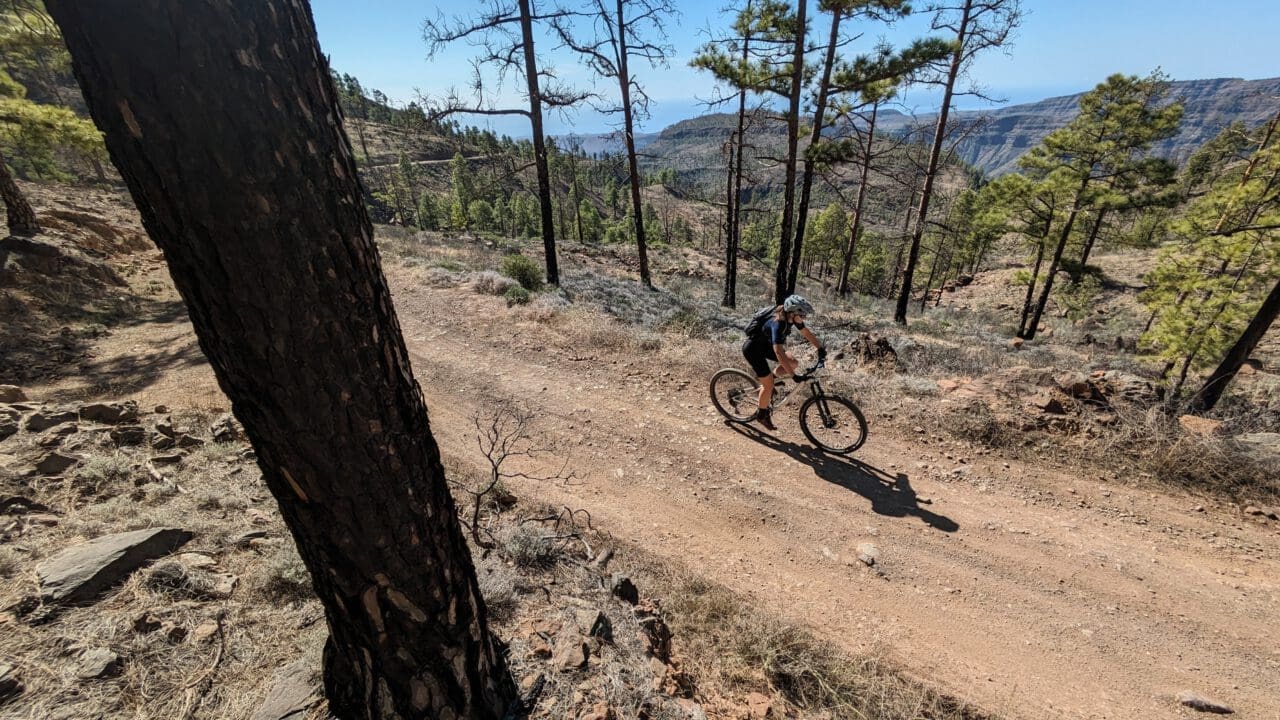
Ruth and her friend Kim mountain biked with guide Santiago through the pine forest Pinos de Gáldar to Artenara, the highest village on the island at 1,270 meters. Please note: some paths have recently been closed to cyclists due to conflicts with hikers. Please respect that. Always carry enough water in the interior; you sometimes ride for hours without a place to refill.
Rest day
Take a walk early in the morning along the beach of Maspalomas, past the dunes and the La Charca bird reserve, or have a café con leche with churros in Artenara. The island is also famous for the aloe vera, which you can see growing on plantations along the way.
What should you pay attention to?
- Calima. Sometimes a warm easterly wind blows dust from the Sahara over the island. Visibility becomes blurred and it can get quite hot.
- Wind. There is often strong wind on the east and south coasts. If possible, plan your return trip with the wind at your back.
- Water and food. In the mountains, the villages are small. Cash is handy at the smaller bars.
Gran Canaria in winter: what can you expect?
On the south coast, from December to February, it’s usually 20 to 24 degrees during the day, and rain is rare. But the island is high: at the Pico de las Nieves you’re at almost 2,000 meters, and there can be as much as five to ten degrees in winter, with clouds billowing across the sky. The north is more cloudy than the south, so check the air above the mountains in the morning before you choose. Also take into account the day: in December, it gets dark around six o’clock in the evening. Start on time, especially on the long climbing days.
What to bring?
- Layers. Arm and leg warmers and a windbreaker for the descents. You start in shorts at the sea and end up in the clouds at the top.
- Light resistance. A compact front section with a large cassette (34×32 or lighter). The climbs are long and have steep sections.
- Sunburn and a hat. Even in January, the sun shines brightly here.
- Tail light. For the tunnels and the dusk.
An example week
- Day 1: Degollada de las Yeguas in Fataga. Quiet income, right away beautiful.
- Day 2: Go gravelly to Ayagaures and across the dam, or take a leisurely coastal route as your legs get used to it.
- Day 3: The Pico de las Nieves from Maspalomas. The Queen's Route.
- Day 4: rest day: the dunes of Maspalomas, or a coffee in Artenara.
- Day 5: Take the taxi to the middle and drive to the Valle de las Lágrimas and Cruz de Tejeda.
- Day 6: the west coast along Tamadaba, or Alto de los Corrales if you want to go back one more time.
When are you leaving?
From October to April, the temperature along the coast is 20 to 25 degrees Celsius; in February, the almond trees bloom in the middle of the island.
From October to April, when it’s cold in the Netherlands. In February, the almond trees bloom in the middle of the island. In the summer, it’s very hot in the interior.
How do you get there?
- Aircraft: There are direct flights from Schiphol and Eindhoven throughout the entire winter season. Expect a flight time of about four and a half hours. From the airport, you’re in Maspalomas in half an hour.
- Cycling: You can bring your own bike, but renting is easy and affordable. Read our tips on Bring your own bike or rent one.
This is how we calculate: We calculate distances and travel times starting from Utrecht. Our flights always depart from Schiphol, Rotterdam The Hague Airport or Eindhoven Airport. Want to know how to travel from your place of residence the best way? Let us know, We are happy to help you. After all, we built this site together.
Are you flying? Read our guide Flying with your bike: Which airline, what the cost is and how to pack your bike.