Map & elevation profile
Font-Romeu: to the Lac des Bouillouses GPX
no elevation data
| name: | no data |
| distance: | no data |
| minimum elevation: | no data |
| maximum elevation: | no data |
| elevation gain: | no data |
| elevation loss: | no data |
| duration: | no data |
Submitted by Thomas Bogaard, A cyclist from our community
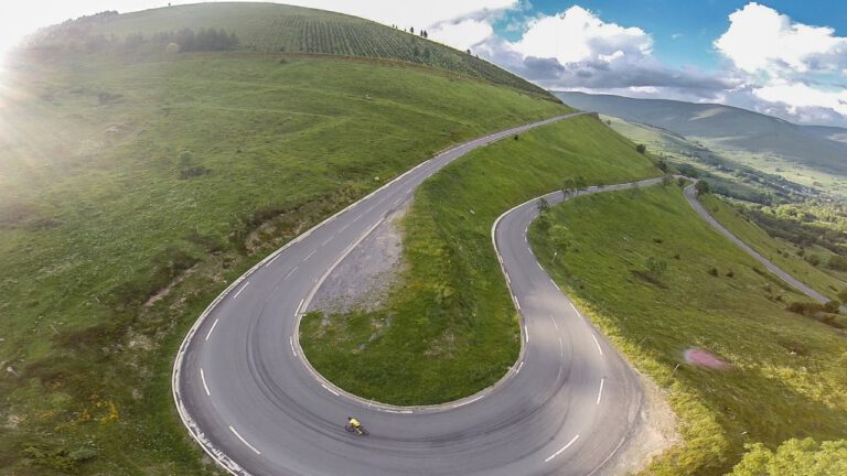
A short, beautiful climb to Lac des Bouillouses, a reservoir at 2,000 meters altitude between the mountain peaks above Font-Romeu. You climb through the forest via Mont-Louis to the reservoir and drive back the same way. In the summer, the road is often closed to cars during the day and shuttle buses run: you can cycle through it, and then you have the road almost to yourself. Above, you can have coffee by the lake.