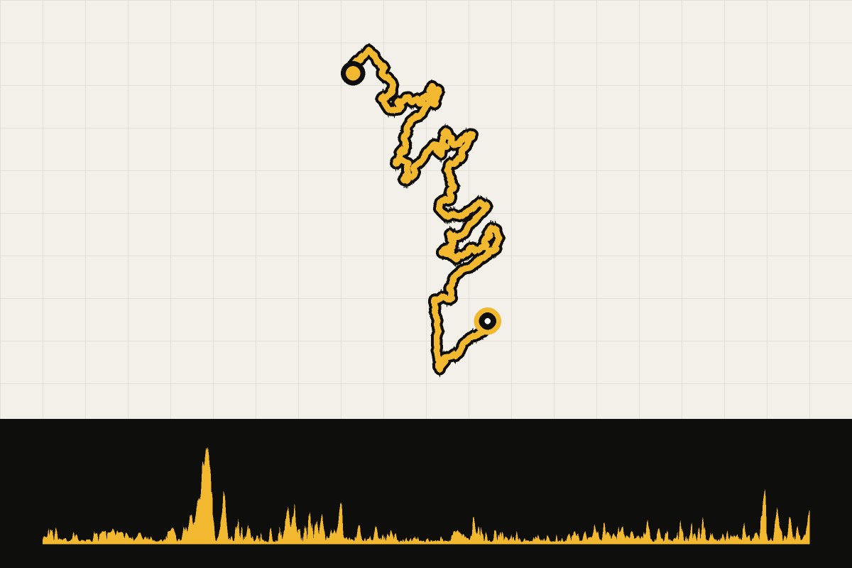
Map & elevation profile
Galicia: EuroVelo 1 through Galicia GPX
no elevation data
| name: | no data |
| distance: | no data |
| minimum elevation: | no data |
| maximum elevation: | no data |
| elevation gain: | no data |
| elevation loss: | no data |
| duration: | no data |
A multi-day journey of 509.5 kilometers and 6,417 meters of elevation gain, starting in Tui. The GPX file contains the entire journey in one piece. This route is part of our story. You can download the GPX file on this page.
Read the full story: Galicia: a cool summer coastal destination.
The journey in 5 days
Our proposal: 5 day stages of an average of about 102 kilometers, each with a finish point in a village or city and its own GPX file. Adjust the layout to suit your own pace and accommodation options.
Multi-day adventure · Bikepacking
EuroVelo 1 through Galicia in 5 days
- 5days
- 509km
- 5.323altimeters
- 102km per day
- 1
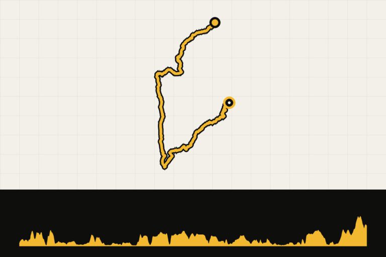 Day 1 · 98.4 km · 657 hmEuroVelo 1 through Galicia – Day 1: Tui – VigoFrom Tui to Vigo.Map, profile & GPX from day 1 →
- 2
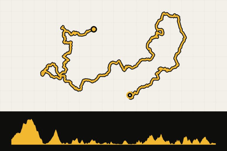 Day 2 · 93.4 km · 1,585 hmEuroVelo 1 through Galicia – day 2: Vigo – BueuFrom Vigo to Bueu.Map, profile & GPX of day 2 →
- 3
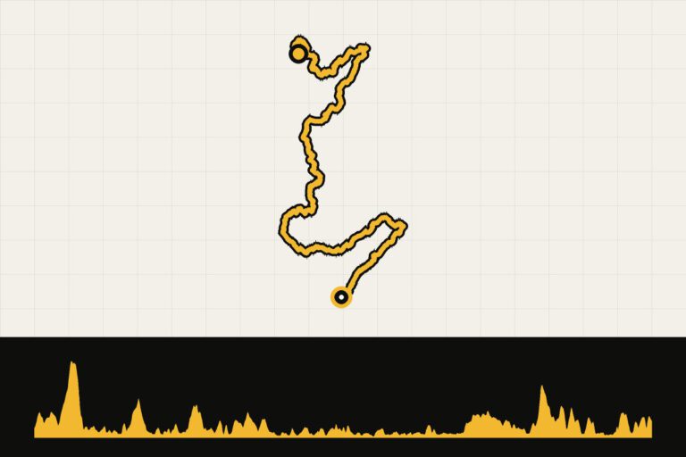 Day 3 · 114.4 km · 941 hmEuroVelo 1 through Galicia – day 3: Bueu – BoiroFrom Bueu to Boiro.Map, profile & GPX of day 3 →
- 4
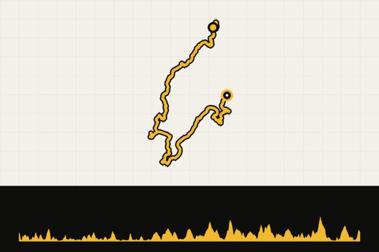 Day 4 · 107.1 km · 854 hmEuroVelo 1 through Galicia – day 4: Boiro – A Serra de OutesFrom Van Boiro to A Serra de Outes.Map, profile & GPX of day 4 →
- 5
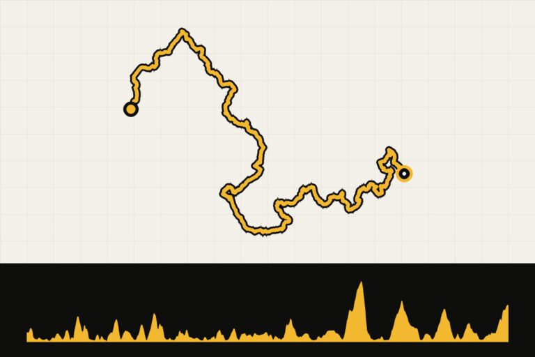 Day 5 · 96 km · 1,286 hmEuroVelo 1 through Galicia – day 5: A Serra de Outes – FisterraFrom A Serra de Outes to Fisterra.Map, profile & GPX of day 5 →