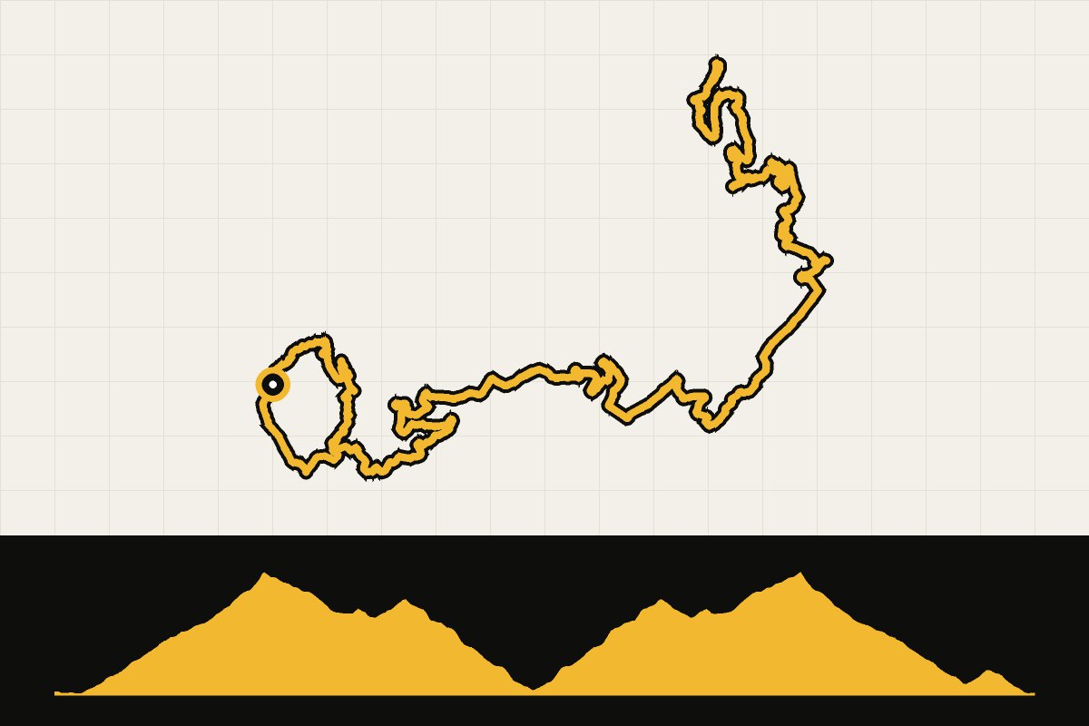
Map & elevation profile
Mallorca: Sa Calobra from Port de Sóller GPX
no elevation data
| name: | no data |
| distance: | no data |
| minimum elevation: | no data |
| maximum elevation: | no data |
| elevation gain: | no data |
| elevation loss: | no data |
| duration: | no data |
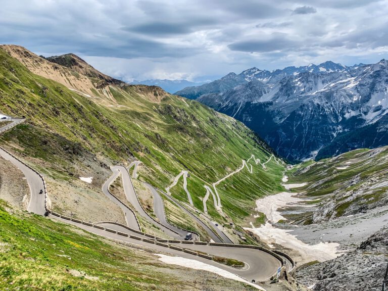
The classic Mallorca route. From Port de Sóller, you climb via Fornalutx to the tunnel near Puig Major, the highest point on the island. Then the descent to Sa Calobra follows: ten kilometers of hairpin bends, with the famous knot in the road. Down below is water and a terrace, and then you have to climb the same ten kilometers back up. On the way back, you descend via Puig Major to Sóller. It’s short, but with almost 2,400 meters of elevation gain it’s one of the toughest rides on the island. Leave early: from half past eleven the buses depart for Sa Calobra.