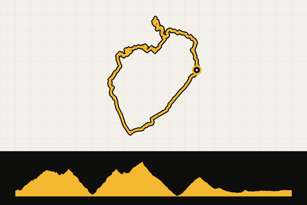
Map & elevation profile
Mallorca: Lluc, Sa Calobra and Puig Major GPX
no elevation data
| name: | no data |
| distance: | no data |
| minimum elevation: | no data |
| maximum elevation: | no data |
| elevation gain: | no data |
| elevation loss: | no data |
| duration: | no data |
The queen’s route through the Serra de Tramuntana. From Selva you climb to the monastery of Lluc and over the Coll de sa Batalla to the Coll dels Reis. Then you dive into Sa Calobra and climb back up. Through the tunnel under Puig Major you descend to Fornalutx and Sóller, and over the Coll de Sóller you drive via Bunyola, Santa Maria and Lloseta back to Caimari and Selva. Over 2,600 meters of elevation gain: take plenty of food with you, because there is little between Lluc and Sóller.