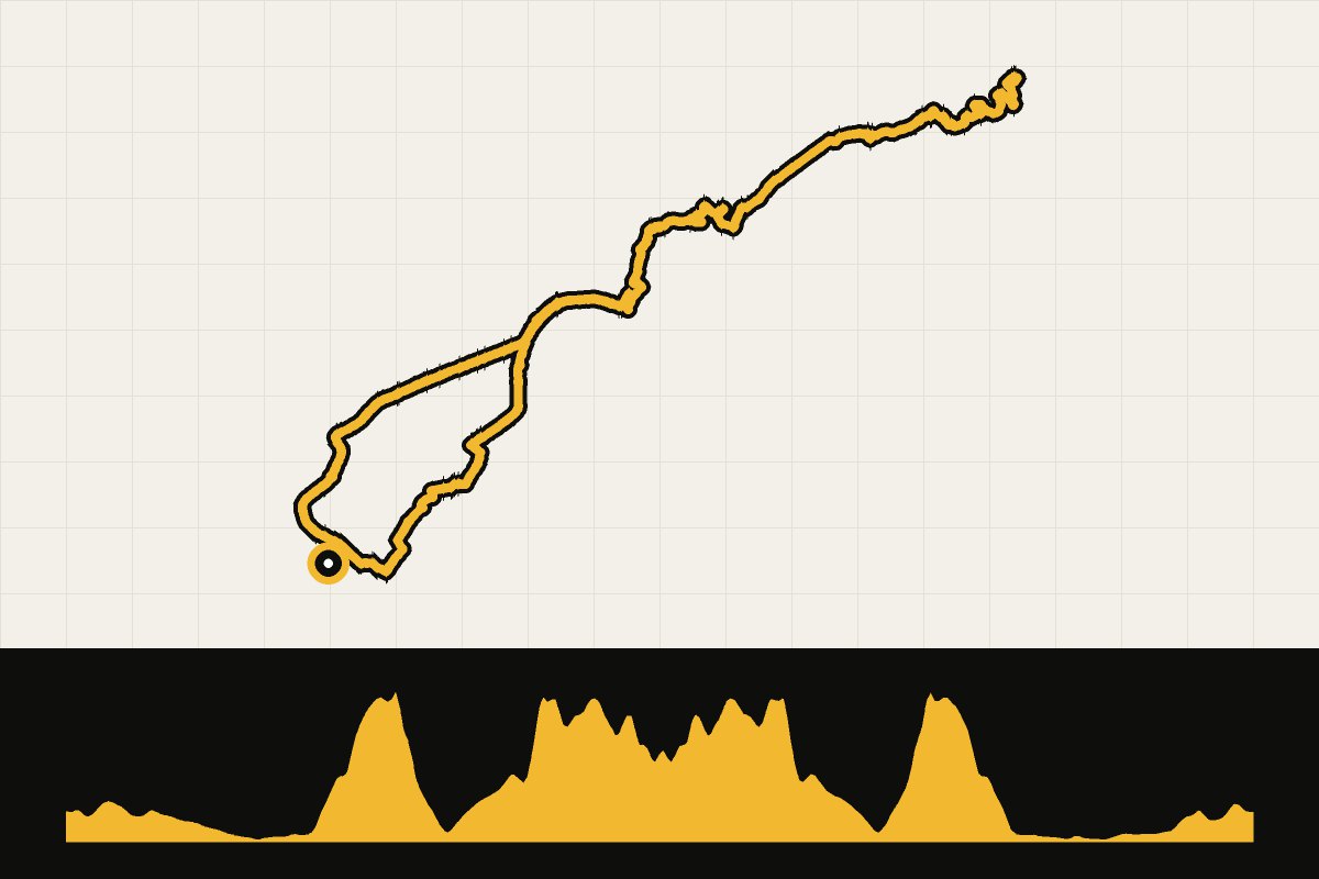
Map & elevation profile
Mallorca: Cap de Formentor GPX
no elevation data
| name: | no data |
| distance: | no data |
| minimum elevation: | no data |
| maximum elevation: | no data |
| elevation gain: | no data |
| elevation loss: | no data |
| duration: | no data |
From Pollença via Port de Pollença to the lighthouse on the tip of the peninsula of Formentor. The road winds over the narrow cape, passing the viewpoint Es Colomer along the way and constantly facing the sea on both sides. The final stretch to the lighthouse is narrow and winding. Go early or late in the day: between ten and five is the busiest time of day with cars, and in the summer the road is sometimes closed to cars during the day. Consider lighting for the tunnel.