
Ruth Koops of ’t Jagt was for our platform a week in the Canary Islands and specifically Gran CanariaThat this island can be a wonderful escape from reality is evident from the first part of her report, which appeared on Cycling Destination a while ago. Once again, there are beautiful tips and tricks. This time, let’s go off-road and go for a nice walk on our own! Well, sometimes you just have to think outside the box. We are absolutely enthusiastic about this island and the possibilities for cycling and being active. Check out the report below. Enjoy reading! Cycling on Gran Canaria is also great off-road! Read the rest of this entry Part 2 here and read the first report here!
MTB with Santiago
From the moment we step on the plane, we look forward to this Tuesday, with the butterflies of anticipation you felt as a child before your birthday. In the Netherlands, together on the mountain bike, we tackle the climbs and singletracks of Gieten Gasselte. So on our wish list for Gran Canaria At any rate, we had one beautiful mountain bike tour, preferably with a guide. We still know very little about what awaits us exactly, so we definitely warned Santiago by text message. ‘We are really recreational cyclists’, we sent him. Fortunately, we received reassuring words back: ‘Don’t worry. The course is not steep. We will go down first and go up easily. If you get tired, I will recover you.‘ That’s a relief.
Pick-up service
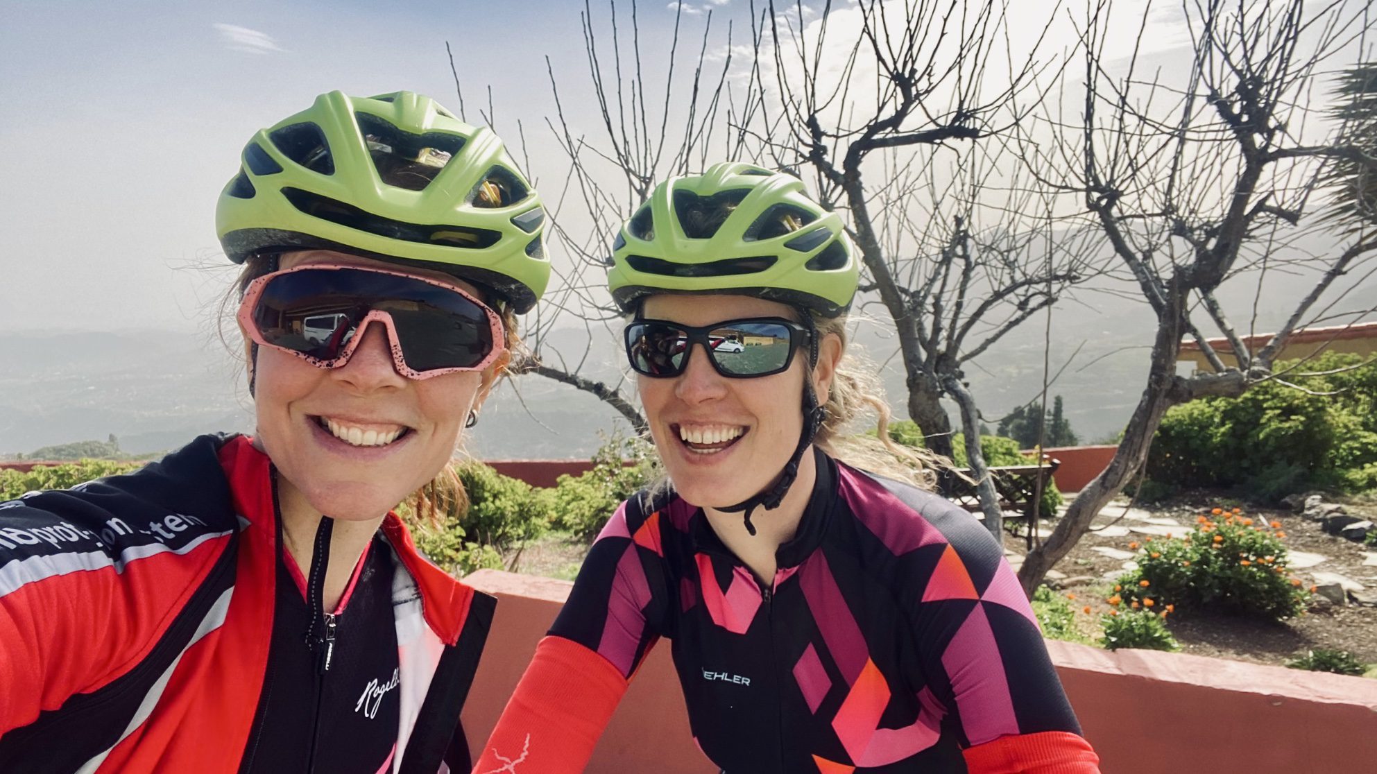
Shortly after 9 a.m., Santiago picks us up in his van for Dunas, with his mountain bikes in the back. In just over an hour we drive over winding roads and past blooming almond trees to his ‘countryhouse’ Finca Nido de Aguilas, whose name means ‘Dwarf’s Nest’. The house is located at more than 1500 meters, near the high-altitude Cruz de Tejeda, and was once built by his father and grandfather. As we get into the car, we notice the outside temperature drop from 25 degrees at the coast to a meager 12 degrees in the mountains. And then there’s also a gusty Calimazo wind. As soon as we get out of the car, we immediately realize that we should have brought along a jacket or at least gloves besides the ‘helmet, sunglasses and culotte’. Fortunately, Santiago still has some spare clothes and has started packing a bit better, so we begin the first part of the route.
Breathtaking views
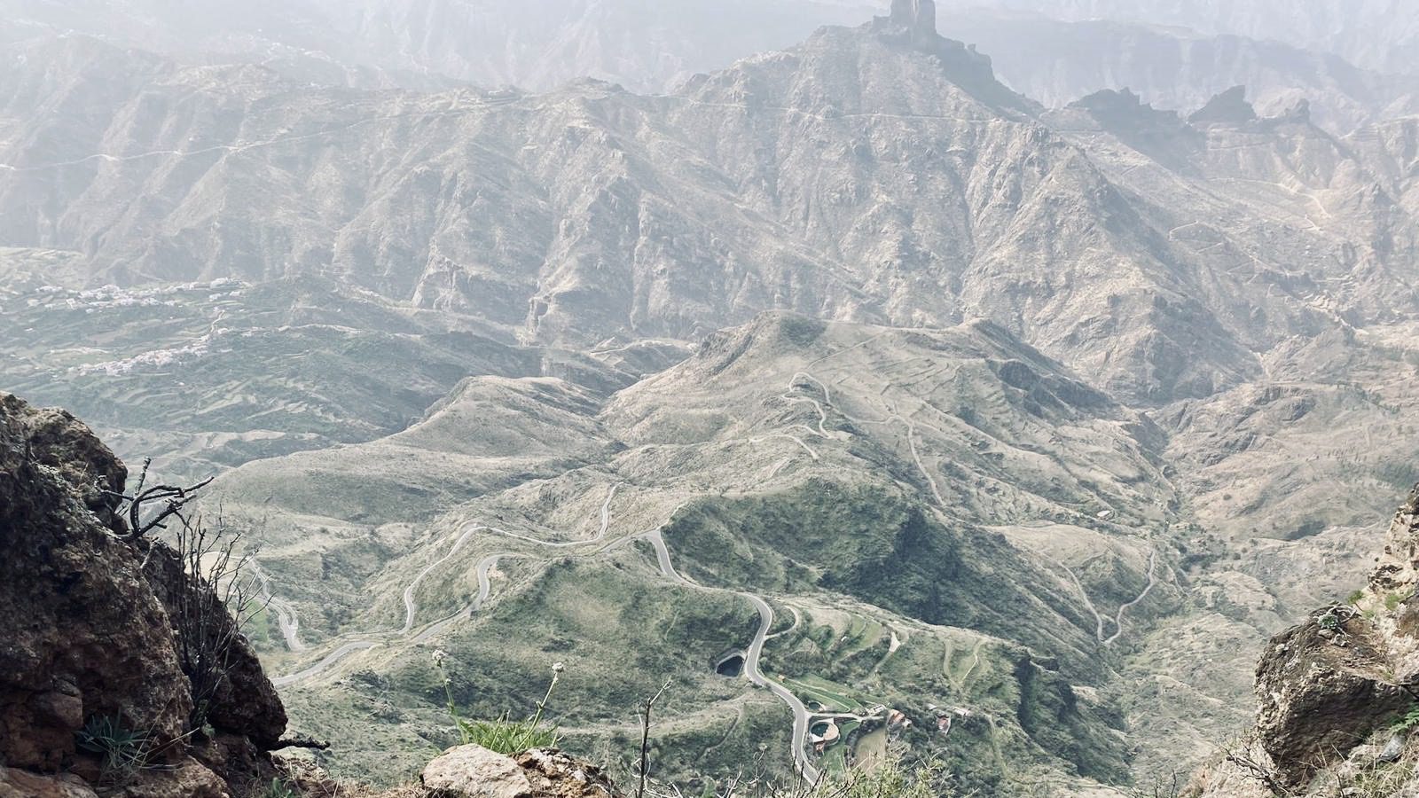
After a short stretch of climbing and descending, we come across a breathtaking viewpoint. The wind blows here so hard that I (with wind trauma of the Mont Ventoux) My helmet holds on tightly. In clear weather, you can see the Teide from here. Tenerife We can see it lying there, but in recent weeks the Calima has been blowing too much dust into the atmosphere. We don't care.
After about a kilometer or so, we leave the asphalt and enter a forest: the pine forest of Pinos de Gáldar. The road there goes up quite steeply almost immediately, but fortunately my chain ‘saves’ me when it falls off in the last gear. That gives us time to gather our courage. Santiago talks us through the native flora and shows us, among other things, the plant species Tajinastes, Tabaias, Mirtillo, Retamas and Cobezos. While Santiago then routinely reattaches my chain, Kim is already climbing up. I follow on shortly thereafter with the utmost effort.
Further up
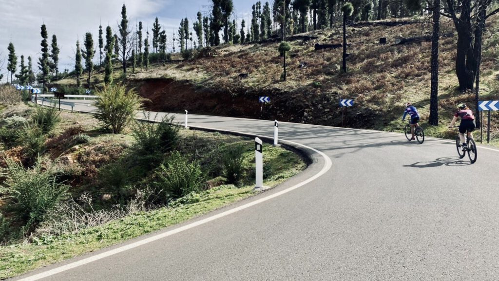
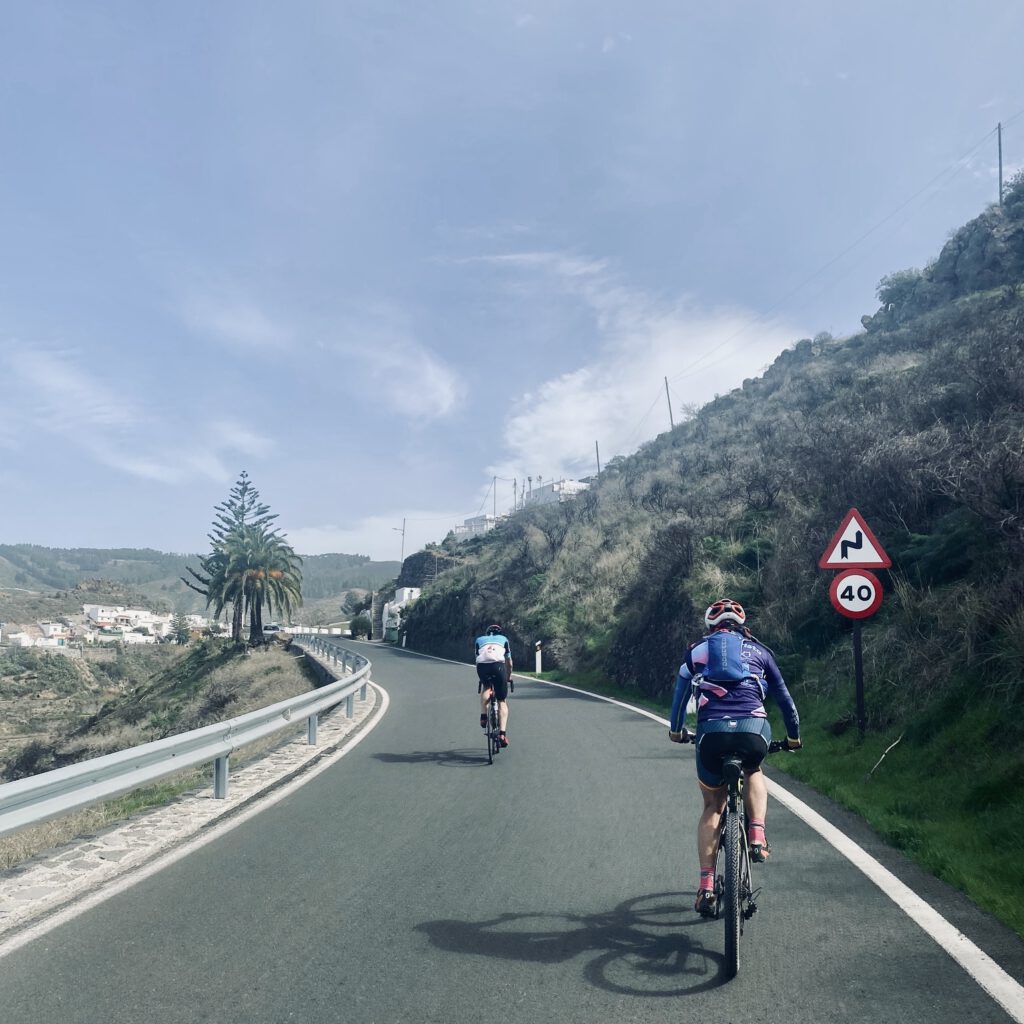
This is, in my opinion, the most beautiful way to cycle on Gran Canaria: climbing over the forest paths and swinging over the rocks up towards the top, surrounded by tall pine trees. Breathless, but with the focus that is necessary on unpaved paths. At the top of the short climb, Kim is waiting for me smilingly, assuming that we are only halfway through. But we turn out to be allowed to descend from here. Through the ‘pine forest’ a beautiful long, rolling descent follows. The first stretches are a bit steeper, but even for amateurs they are easy to handle. We bounce around the rocks with concentration and practice our ‘piano fingers’. That, according to Santiago, is the way to descend without cramping in your hands. He also teaches us that you can descend faster against our intuition, because that is actually easier than slowly and cautiously.
Read also:
Even climbing for the view
After the first part of the descent, Santiago presses on the brakes; he gets off his bike and sets it against a rock. Here, on the other side of the rock wall, a special cave is revealed: Cuevas de Caballero or Las Machas. ‘Macha‘ means ’woman who looks like a man‘.
Behind him
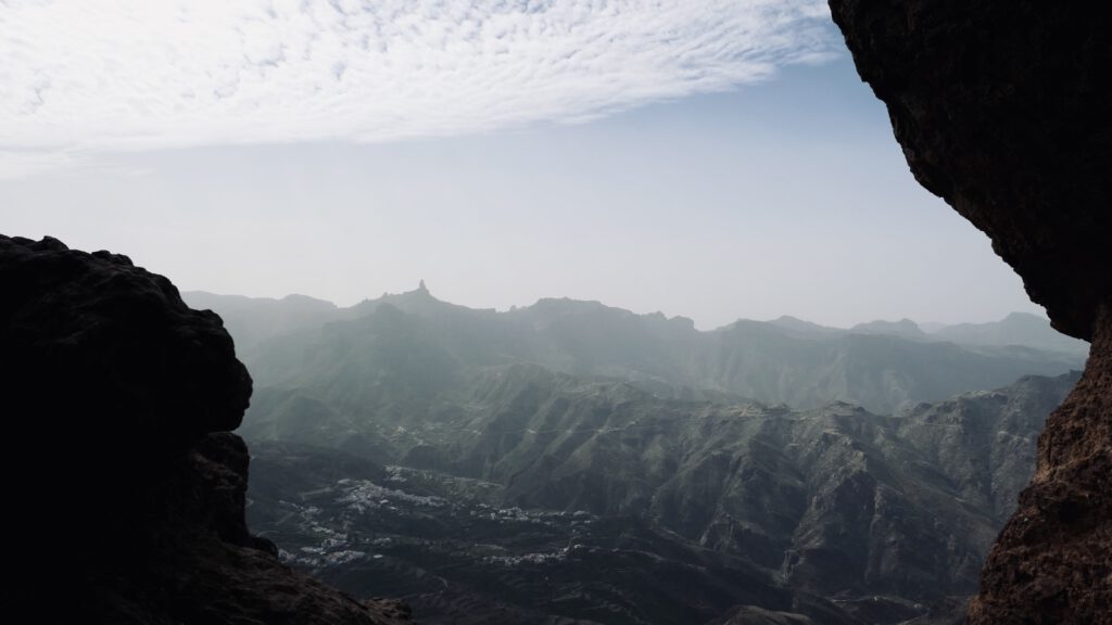
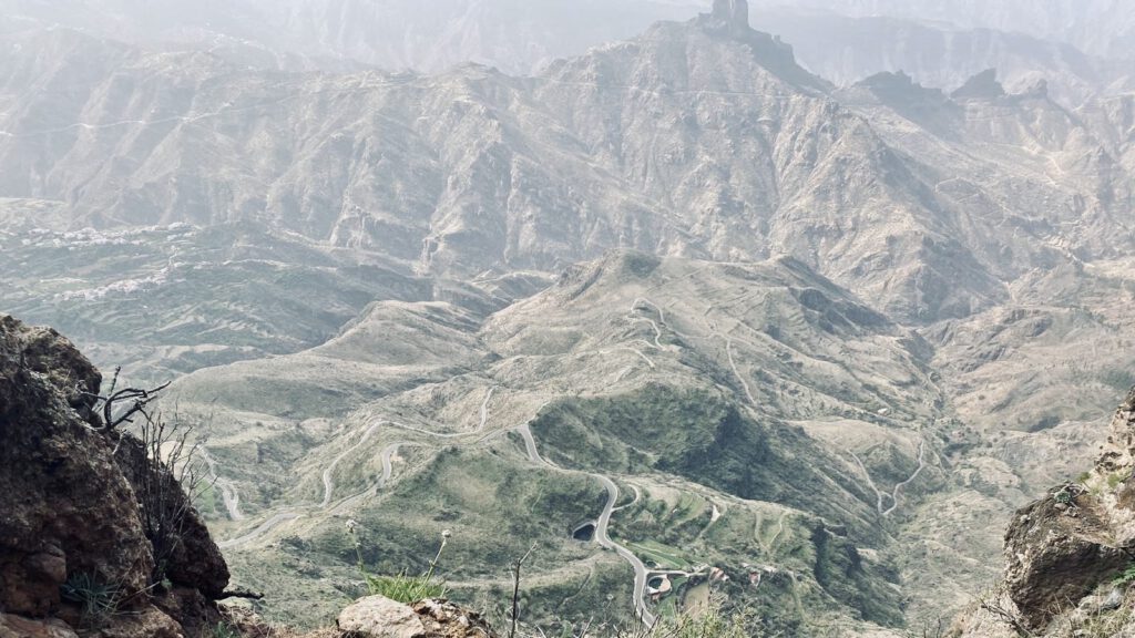
Kim climbs behind Santiago without fear, but my wind trauma keeps me from going all the way. I take a few steps: I won’t let that stupid fear ruin this experience. I shuffle around the corner, as close as possible to the rocks. The wind whistles past my ears. Once on the other side, we have a brilliant view over the mountains and the valley. Santiago shows us the cave, where we even discover some old wall paintings. We continue climbing over the rocks and take in the breathtaking panorama of Caldera de Tejeda. Gran Canaria is fantastic.
No tea break
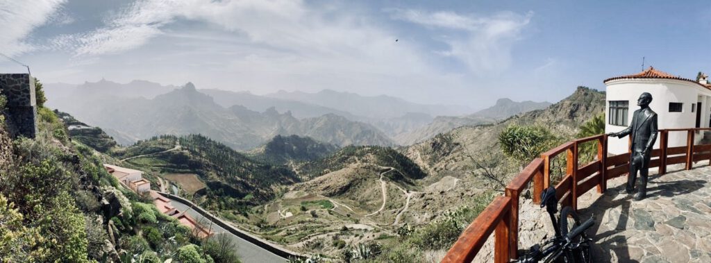
Then Santiago gets impatient. We can almost hear him thinking: ‘this is a bike ride, not a tea party!’ Meanwhile, we climb back onto our bikes and start the second part of the descent. As full-fledged downhillers, we fly ‘piano fingers, piano fingers!’ through the trees until we reach an asphalt road again. Then it is only a few kilometers to the beautiful village of Artenara. Artenara is the highest village on Gran Canaria, at 1270 meters altitude. We are greeted by a Christ statue with outstretched arms. Once in the village, we also find a more modern statue of a bicycle, which we of course take a photo with. Santiago also takes us to the viewpoint of Unamuno, with spectacular views.
Miquel de Unamuno
Miquel de Unamuno was a well-known writer and philosopher who stayed on the island in 1910 and described the rugged terrain with the words ‘stone-strewn storm’. Moreover, deep down lies a fantastic beautiful MTB trail. This beautiful village is a good place for a stopover, and in the café Arte-Gaia Restaurante BioTasca we have to try the Santagia café con leche and churros. The coffee comes in large mugs, and the owner shows us decisively how to then dip the churros into the coffee.
Back home
We also secretly eat a banana and prepare ourselves for the return journey. Now comes the most difficult part of the route, with the most climbing kilometers. But fortunately, the percentage of incline never exceeds 9%. That must be quite a feat. Before we start the return journey, we take a look at a restaurant that also seems carved into the rock wall. Wherever you look here, the view is breathtaking.
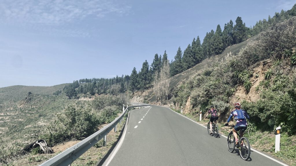
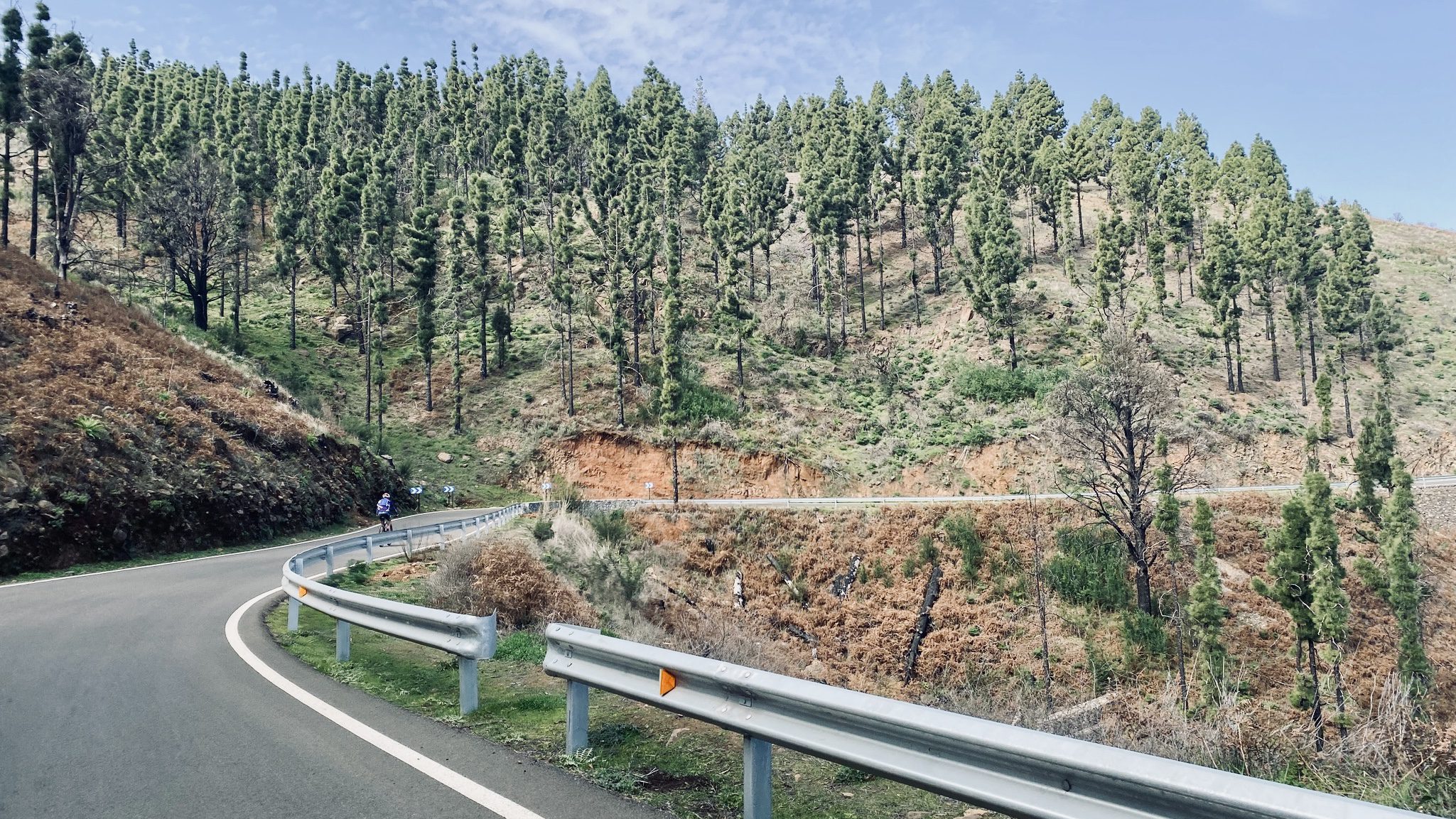
One more time we look back, then we get back on for the last kilometers. In the Santiago wheel. We both find our own pace. Over the GC-21 we swing back up. After the steepest kilometers Santiago sends his bike off the road at about 1500 meters altitude. He lets the small black stones slide through his hands: ‘this we call Picón, they are volcanic ashes!’ Picón is one of the many words in the Canary Islands that have their origins in the volcanic nature of this archipelago. A natural spring is revealed from the rocks. We make a bowl with our hands and drink the fresh mountain water.
Route
Final Stretch
Updated and well, we fill our water bottles and start the final stretch. We stop once more at Mirador de Pinos de Caldar, from where you have a beautiful view of the crater of a extinct volcano. And then it’s really time for the last kilometers. Just before we reach the super steep driveway to the house, Santiago warns us: ‘Lightest gear!’ Kim dances on the pedals up but I choke on this last stretch. With the bike in hand, I complete the final meters to the gate. There, Santiago is waiting with freshly picked daffodils. We feel like real stage winners. Only the rounders are still missing. What a wonderful trip and what we enjoyed. With a big smile we get into the van for the return journey to Maspalomas. We look at each other: ‘Rest day tomorrow?’ Yes, tomorrow is a rest day!
Day 5 – How a rest day still wasn’t a rest day
Although we had decided yesterday that we would schedule a day of rest today, the beautiful mountain range in the center of Gran Canaria has captured our hearts. We want to go back, we decide, and then we make it a ‘bike rest day’ and put on our hiking shoes. At the car rental in Dunas (Lucas Rent a Car), we rent the very last car that day: a Mini Cooper Cabriolet. Kim gets behind the wheel, Tim falls next to her, and I sit in the back. We put on our sunglasses and drive off. We feel like real movie stars as we cruise through Maspalomas with the top down. Movie stars in a film about mountain hikers, of course. Santiago gave us some tips yesterday for beautiful hiking trails. We drive north via the GC-60, to Llanos de La Pez, a recreation area with picnic spots, plenty of parking, and the starting point of several beautiful hiking trails.
Start of the route
Here we begin the first part of our hiking route, which takes us to the famous Pico de las Nieves. This is the highest mountain on Gran Canaria with an elevation of 1949 meters. Through a forest of pine trees, we follow the steep hiking trails up, Kim with professional hiking equipment including hiking poles and Tim with a broken branch as a hiking pole. All around us we see that the bottom of many tree trunks has turned black. A while ago there were forest fires here. Fortunately, the Pinus canariensis, The Canary pine, or Canariensis, is one of the trees that is best resistant to forest fires of all trees.
Rocks up
As we are nearing the Pico, the landscape changes; we climb up the last stretch over rocky terrain. On top we climb up to a viewing platform to feel like ‘king of the world’ for a moment. Afterwards, we treat ourselves to coffee, cola, and fresh tangerines from the food truck that stands at the top in the parking lot. We see several cyclists riding up to that peak; taking the usual ‘mountain top selfies’, before turning around again. Normally, from this point you can also see Teide on Tenerife, but it is a cloudy and windy day, so today we will stick with shrouded mountain peaks. Fortunately, the views are also very beautiful and we can see the Roque Nublo monolith, a characteristic large rock formation and the third highest point on the island.
Stopover
After our stopover, we descend in the same direction, then continue hiking towards Degollada de los Hornos and El Montañón. We walk over a narrow mountain ridge, climbing over a rocky ravine along the most famous peaks of Gran Canaria: the Roque Nublo, El Fraile (a rock that resembles a monk) and La Rana (the rock next to it that resembles a frog).
The final stretch of the route runs along the Presas de los Hornos reservoir. It’s a beautiful hiking trail, where you sometimes have to climb over rocks. The views are breathtaking, the descents on loose gravel are sometimes treacherous, and our calves seem to get stronger with every step. After more than 11 kilometers and over 500 meters of elevation gain through the mountains, we return to the starting point. We get into our Mini Cooper seats and look at each other with a big, tired smile. It might not have been a rest day, but it was a damn beautiful day.
Rest day – hiking day
If you’re going cycling in Gran Canaria, it’s really recommended to leave your bike at home for one day and put on your hiking shoes. That way you’ll get to places you wouldn’t even reach with a mountain bike, and experience the fantastic mountains of Gran Canaria in a different way. But tomorrow we’ll get back on the bike. Tim will be exploring the middle of the island from Maspalomas tomorrow, and is planning a ride of more than 100 kilometers. We’re going for the more manageable option and are thinking about ways to get ourselves and our bikes into Ayacata. According to Santiago, Ayacata is a perfect starting point for a beautiful route with plenty of elevation gain in the beautiful middle of the island. But first: food, drink, and sleep.
0 responses
Riding through forests and mountains with a local guide must be an amazing experience.