
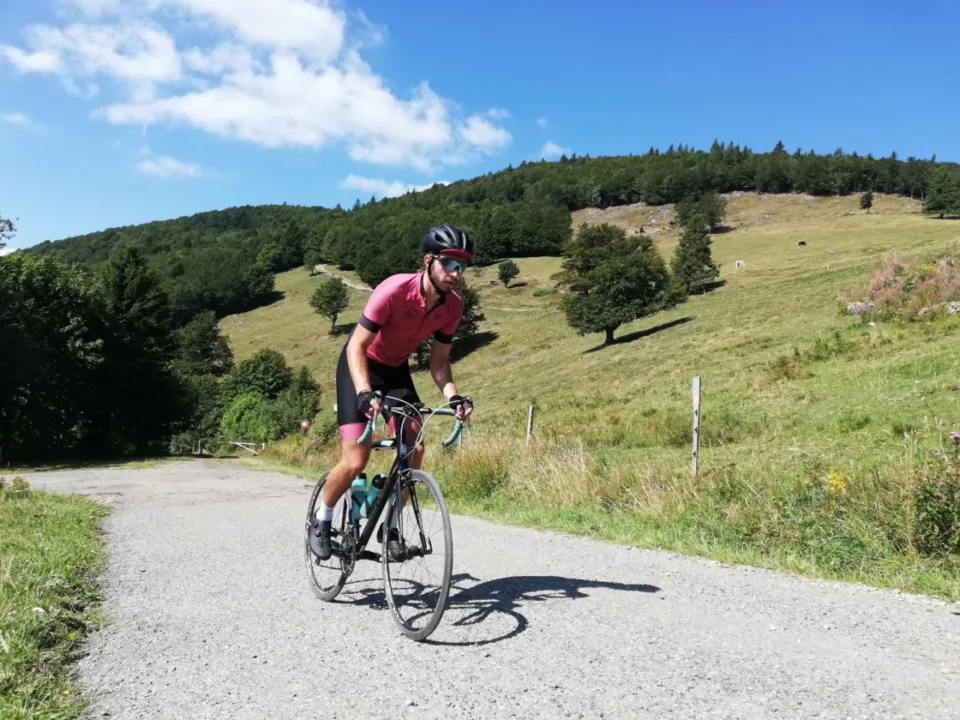
Almost every cyclist dreams of climbing a large Alpine peak. Now you can start there without any training, but preparation really helps. To prepare for this, you need Vosges Extremely suitable. It is a medium-high mountain that is considered by many to be a warm-up for the ‘real’ work in the Alps. The reason why it is often forgotten too. After two laps of the Amstel Gold Race, you can head to Alpe d’Huez, right? We think otherwise. With this trilogy Over, according to us the ‘big three’, let us show you that the Vogean region is more than worth a visit. Especially this bike route to the Grand Ballon is more than just a warm-up.
Of Ballon d’Alsace And the Col du Petit Ballon went ahead of this big brother. When we talk about the big three, the biggest one of course cannot be missing: the Grand Ballon. With an altitude of 1424 meters, this is the highest peak you can find in the Vosges.
text and photos: Erwin & Erwin // Mountain High Chasers
Something for everyone
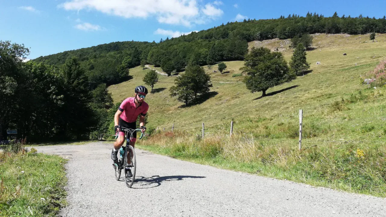
If you want to climb the Grand Ballon, there are no less than six different cycling routes to get to the top. From long ‘trail’ routes to short descents, all leading to the roof of the Vosges Mountains. The six climbs are perfectly doable on their own, but what’s more fun than making a nice round of them? In this cycling route, we’ve chosen to climb the ‘ballon’ twice, one of which didn’t quite reach the top. This creates a nice round that really lets you get to know the area, including the Grand Ballon!
The warm-up
From our apartment in Le Régit, we roll south towards the Grand Ballon. In total, we have almost 120 kilometers ahead of us with a difference in elevation of 2293m, so there is plenty to do! That we start with a wonderful descent full of beautiful curves is no problem at all. We descend to the Lac du Kruth-Wildestein. An idyllic lake that gives the landscape of the Vosges its character. When we talk about runners and climbers, this is a great trail. It is never really steep and the trees absorb you as you climb. Between kilometers 8 and 14 of the climb, it is more of a flat stretch than actual climbing, but this keeps the pace nice and steady.
The end of this climb is not at the top, but as soon as you reach the top it is clear that you have reached somewhere high up, le Markestein. A kind of junction of various roads that come together combined with ski lifts and a mountain hut make you feel like you are in the mountains. For now, let’s leave the apple strudel for a moment because we will pass this junction again later in the day.
The valley at its best
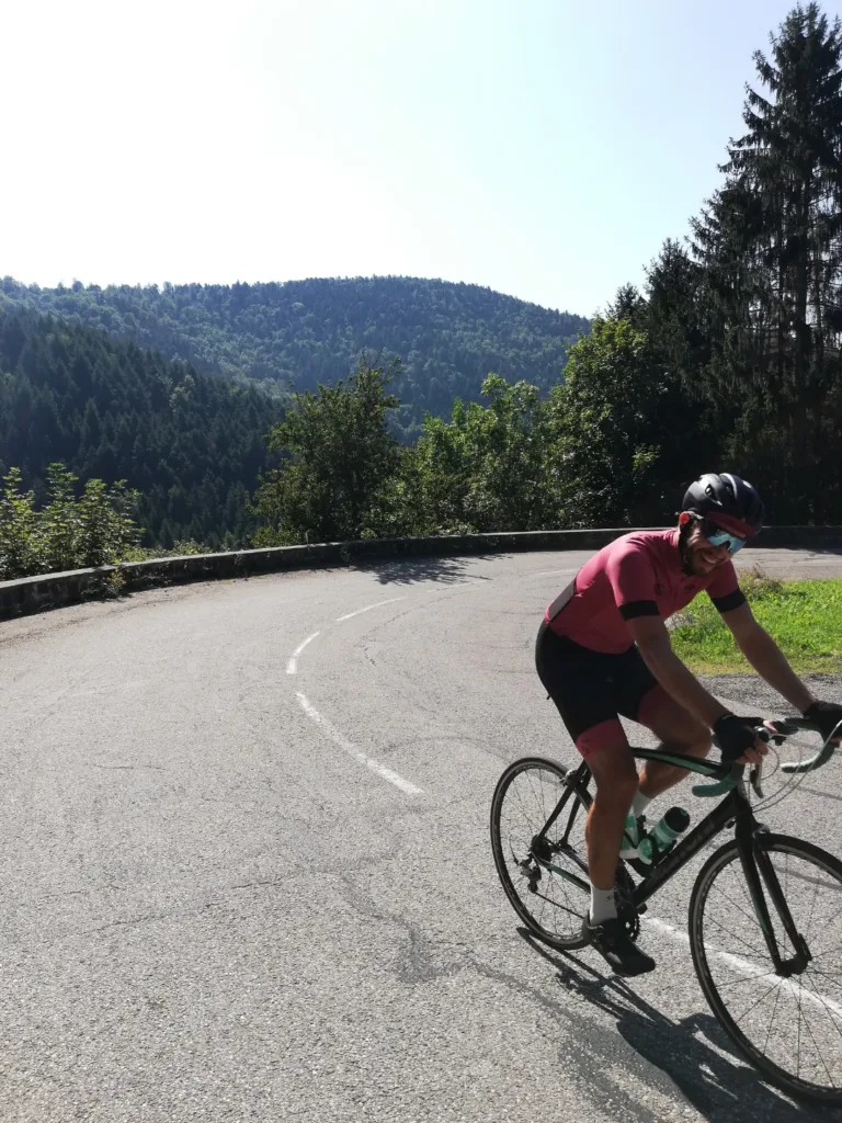
We cross the Route des Crêtes, more on that later, and dive into the descent. According to Garmin, there are now no less than 25 kilometers of downhill ahead. This is briefly interrupted by a small climb, but it’s mostly fun and relaxing in the saddle. It remains a continuous road, so be careful of your fellow road users. The first part of the descent is somewhat technical, but in the second part you can really pedal along to get your muscles loose before the real work begins.
Serious climbing
As mentioned, we think the Vogeens are more than just a warm-up for the high-altitude region, and this is the climb we want to prove that. After descending, the road starts to climb again and the climb of the day comes into view. The official climb starts in Cerna, but we take the climb in the town of Wattwiller instead. From now on, it’s 22 kilometers of hard work, with a breather in the middle. The climb starts with a nice constant climb of seven percent. In summer, it can get incredibly hot here, because we are now on the southern slope of the Grand Ballon. Always think carefully about how you drive your route in the sun. Check out our tips about that.
Down briefly and up again
After climbing for about 9 kilometers, there is a short descent of about 1 kilometer, after which we drive over a small hill until we can really rest for a while. While we take the gelatos out of the back pocket, we enjoy the fantastic view. The trees give way to beautiful views. This break is very pleasant for taking the tension out of the legs, but at the same time it also completely takes you out of the rhythm. And you quickly need this rhythm once you start on the second half of this climb.
Steep final kilometers
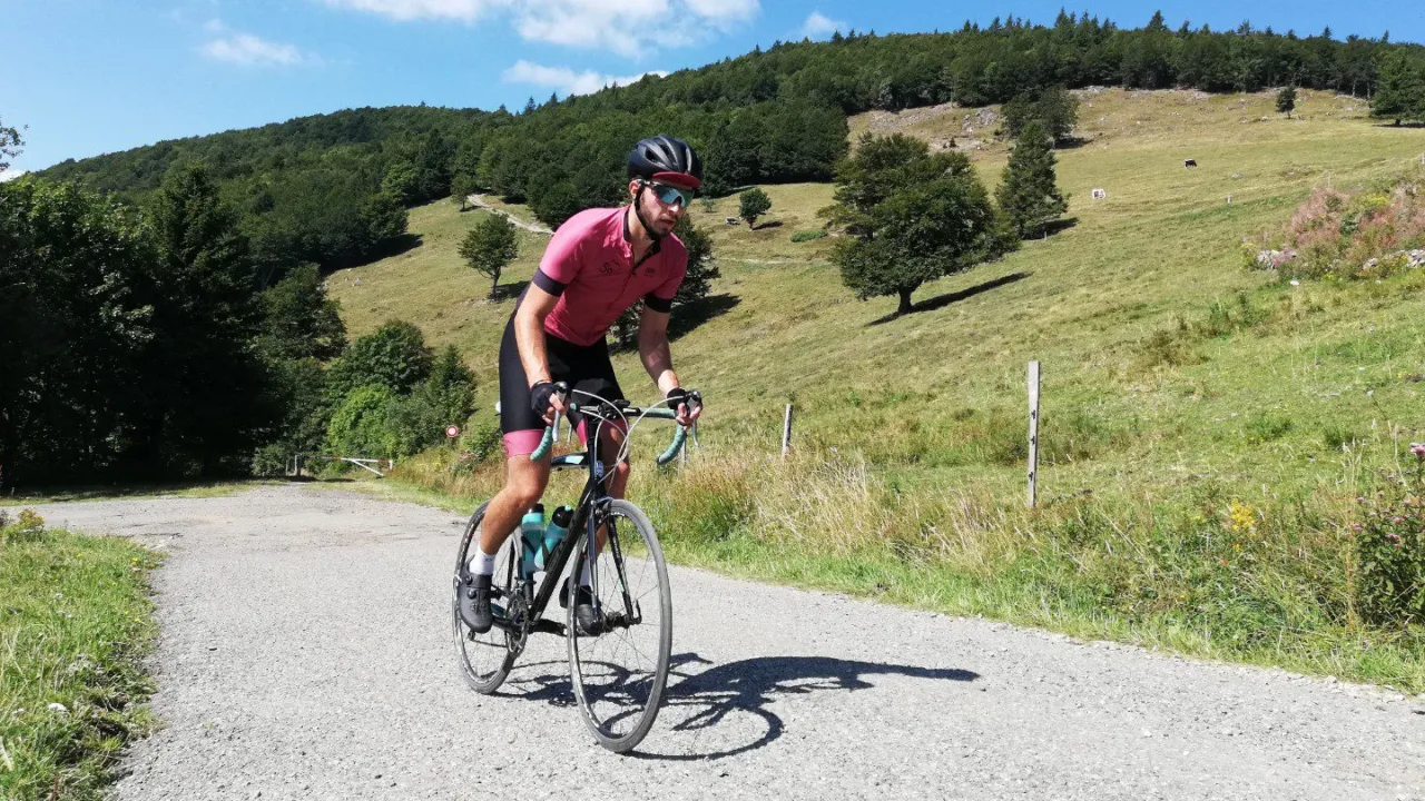
The last 7 kilometers paint the screen redder than during the first 9 kilometers of climbing. It goes up a little less steadily, and the percentages occasionally reach double digits. As we climb higher, the view gets better and better. You can feel yourself slowly heading towards the roof of the Vosges Mountains, because soon there are no more peaks to look at, only peaks to look down at.
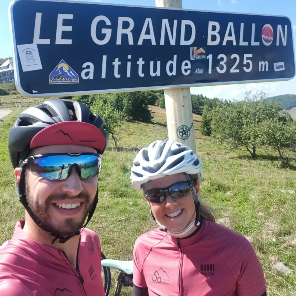
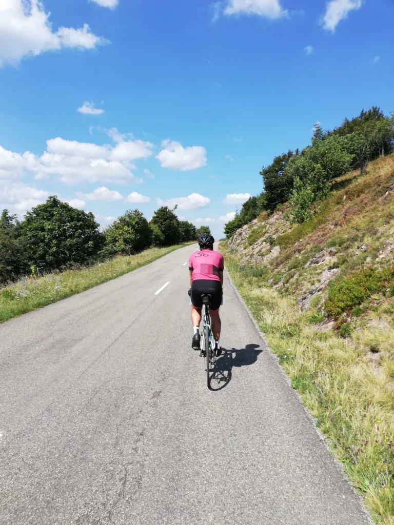
Once we reach the top, unfortunately we won’t be able to reach the 1424-meter-high peak. For cyclists, it’s not possible to drive up to the 1325-meter-high peak, but you have to settle for the 1325-meter-high one indicated on the sign. If you have the energy (and shoes nearby), it’s definitely worth taking the hike to the weather station on the top of the Grand Ballon. For a climb in the middle of the mountain range, this is unique. Not only because of the 22-kilometer length, but also because of the feeling of being at a lonely altitude as soon as you reach the top.
Routes des Crêtes
After the real climbing, the next highlight awaits us: the Routes des Crêtes. This route literally runs across the back of the Vosges. We continue to climb higher, which keeps our views astonishing. Along the way, we stop briefly before the promised apple strudel to resume our journey on this magnificent route. There is the option to plan a stop during the route at Le Hohneck or Col de la Schlucht for the views and/or a snack and drink.
Whether you’re going the entire route or just spending a few days in the Vosges for shorter trips, this route shouldn’t be missed! It’s also easy for beginners because you can park the car above and just ride the ‘Routes’ without having to do any real descents or climb. You are in the mountains, though, so it’s never flat.
The icing on the cake
The Routes des Crêtes continues on through to the northern slopes of Alsace. We turn off there at the Col de la Schlucht to descend towards our apartment. What a pleasure to end the day like this. An almost new layer of asphalt ensures a relaxed descent without too much traffic. As the wheels almost come to a standstill, we look back on a fantastic ride in a top area.
Conclusion
After a trilogy about the three great regions of the Vosges, the feeling prevails that the Vosges are nice as a snack. You could also think of a stopover on the way to the real work in the Alps. But by cycling the various routes in this area, it has certainly changed our view of the region. The Vosges are more than just a warm-up. There is plenty to enjoy and enough challenge when it comes to cycling. At the same time, there is still something to gain in the field of hospitality.
Are they the Alps? No, not really, but when asked whether it’s worth coming here to cycle, we wholeheartedly say yes.
Cycling route to the Grand Ballon
The GPX file for this beautiful cycling route can be found here. On our Komoot page you’ll find even more inspiration for beautiful routes.
The route from this story
- Grand Ballon from Willer-sur-Thur16.3 km · 1,030 hmGPX ↓
Questions & tips
Do you have any questions about this route, or have you been there yourself? Share them here. We read everything and usually respond within a few days.