
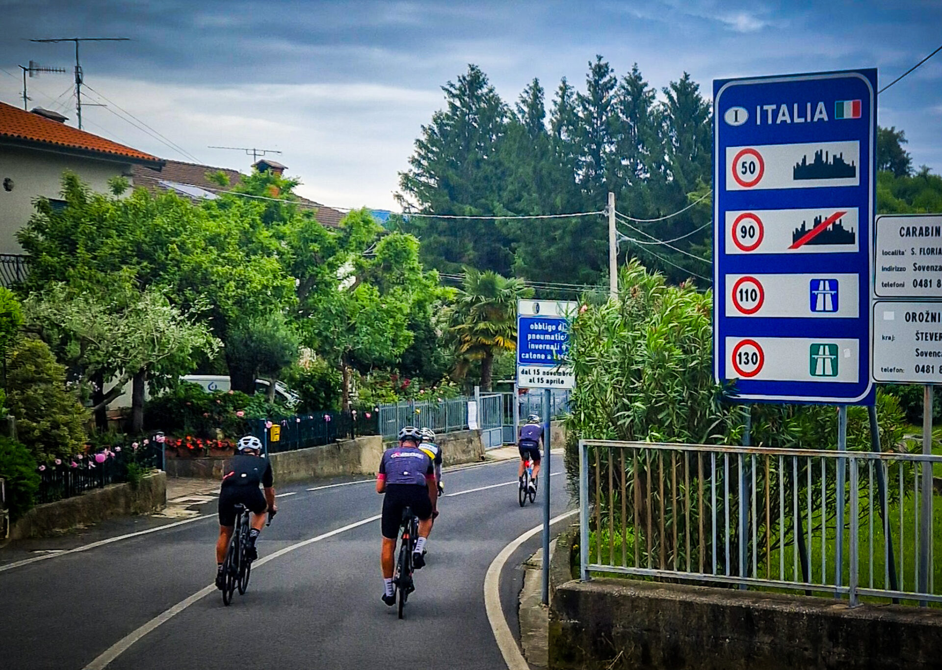
A region that often gets overlooked is the eastern region of Friuli Venezia Giulia. It is sandwiched between the Dolomites (in the west), Slovenia (with the Triglav National Park) and Carinthia on the north side. It is logical that it is a region that is somewhat forgotten. Still, we want to give you five climbs that you really should do. One of them is an absolute classic: the Monte Zoncolan. It is in the group of Mortirolo, Stelvio, Blockhaus, Angliru and Lagos de Covadonga. Goat trails that the peloton doesn’t particularly like to tackle either. The Giro d’Italia likes to come here in recent years. Especially to make the detour to Slovenia. Friuli Venezia Giulia has more than enough to offer, you don’t really need the neighbors for that. But as with many neighbors: it’s handy when they are there.
Here are our tips for some beautiful climbs. Would you like to see the routes as well? Leave a comment below this blog and you'll receive the routes in your mailbox. Want to learn more about this region? Then read our explorer Kees' blog, who is on an adventure for the Giro d’Italia 2025 also came from Friuli Venezia Giulia.
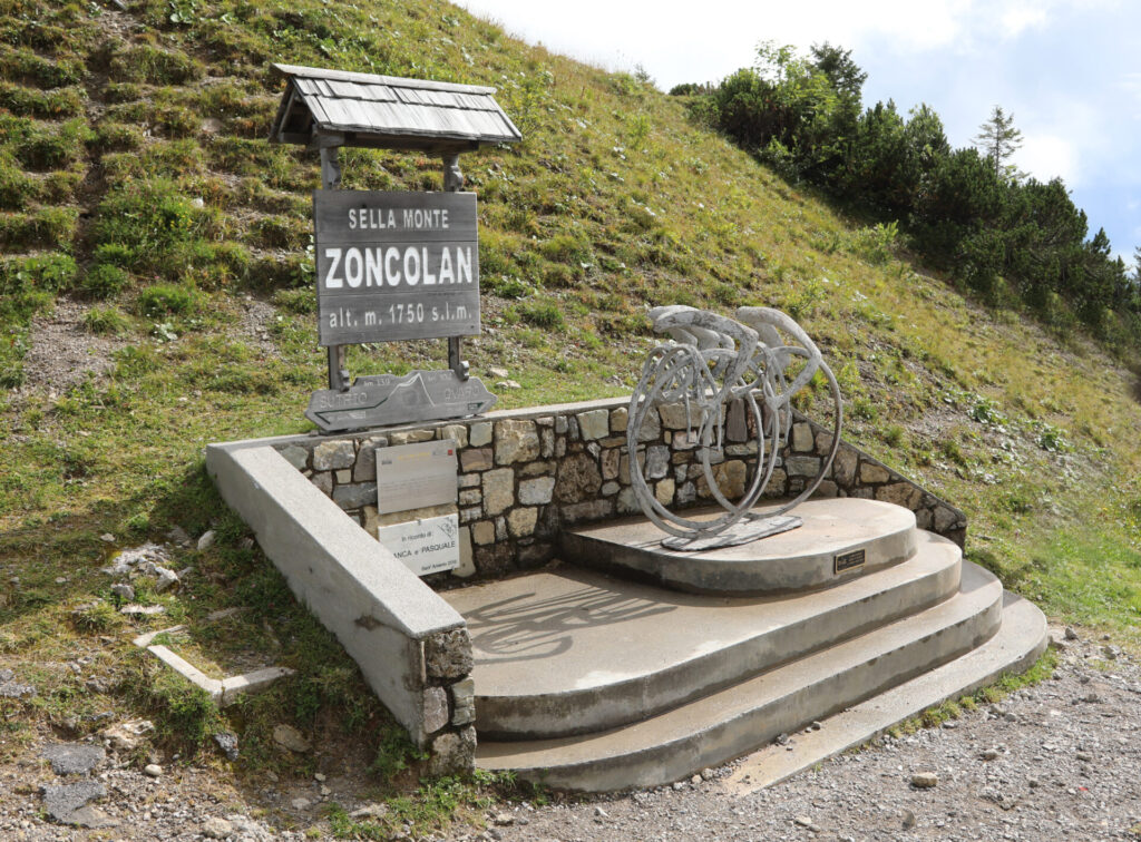
Monte Zoncolan
The Mythical Monte Zoncolan. Every now and then you find it again in the Giro d’Italia course. It is also rightly called a classic, which is how it has become so popular. Classic rides The Mountain High Chasers can do it. It’s one of the reasons to descend into Friuli Venezia Giulia. But with 10 kilometers at an average of almost 12 percent, you’ll have to bring your best legs of the day.
The rough Figures (from Ovaro): 10.1 km – 1200 hm – 11.9% km with peaks up to 22%.
Tip for the climbers: Take your smallest piece of equipment (look for a 1:1 ratio, like a 30×30 or 34×34). For the more experienced riders, a 36×34 or 34×30 is also sufficient.
Gravel tip: Combine the top with the quiet unpaved roads around Ravascletto/Valcalda (after the descent).
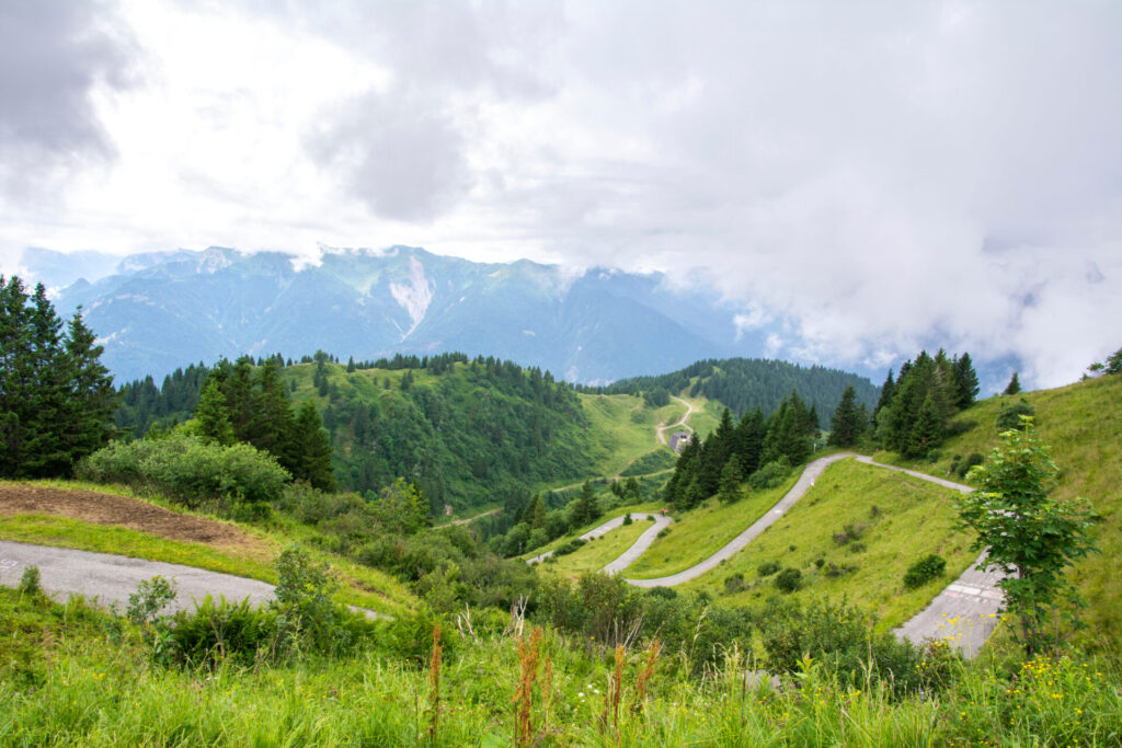
Monte Crostis via TualisPanoramic view of the Vette)
Almost every region has a hidden or forgotten climb. Friuli Venezia Giulia has the Monte Crostis. The first and last climb in the 2011 Giro d’Italia. At least, it was on the course, but it was never climbed? Why is that? According to the experts, it’s too dangerous, and certainly in 2011 with the death of Wouter Weylandt during that Giro, it was the organization that chose eggs for their money. That’s saying something.
In numbers: 14.5 km – 1430 hm – 9.8% km · maximum 17%
Season/type of road: higher up Panoramic view can (partly) be unpaved/rough; check conditions.
Tip from the expert: If possible, drive the higher-lying section on gravel tires (above 35mm) or bring some extra inner tubes.
Monte Crostis, Runchia, Italy
• Distance: 13.6 km, Elevation difference: 1381 m, Average gradient: 10.1 %
Monte Lussari
Anyone who follows professional cycling will immediately think of Primoz Roglic when they see Monte Lussari. On his way to victory in the time trial and the Giro, his chain fell off. He was riding with a 1x before, and that went wrong in a different way. For those who would like to follow in the footsteps of the Slovenian once in a while, we offer the ‘Santo di Lussari’. The climb to the small pilgrimage site on the border with Slovenia is a real killer for anyone who is up for it. Suffering pain for seven kilometers? That’s all you’re going to be asked to endure. The reward, though, is there for the taking.
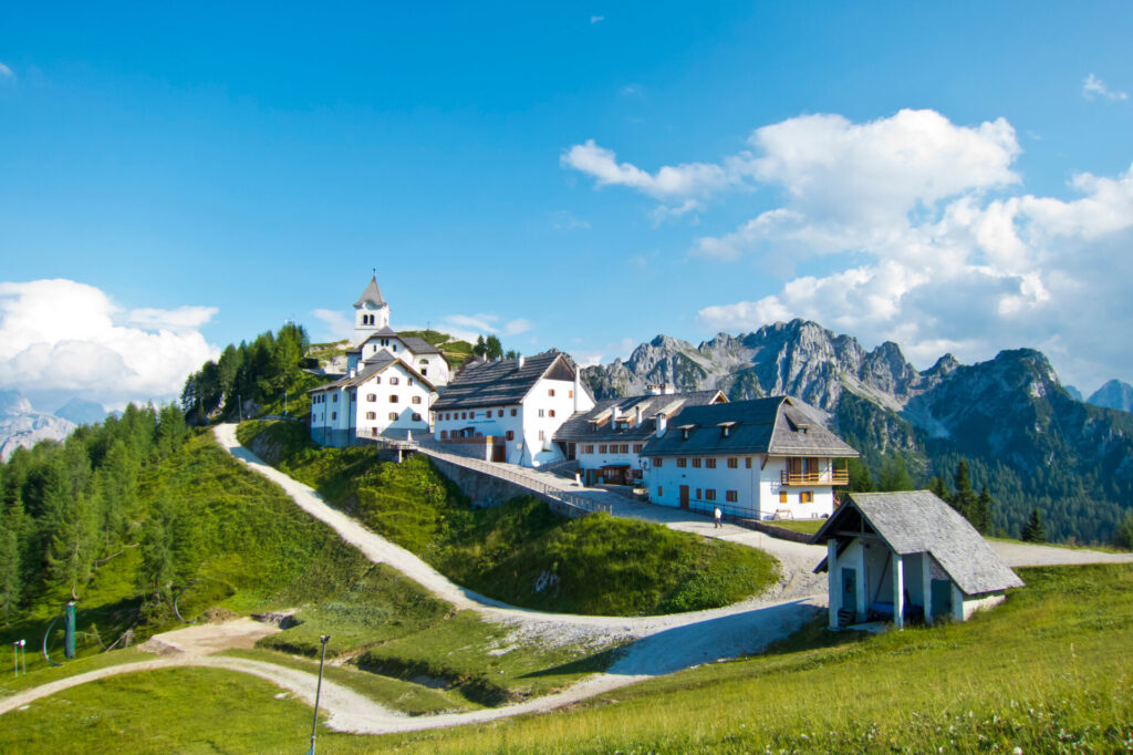
Monte Santo di Lussari, Italy
• Distance: 7.1 km, Elevation difference: 849 m, Average gradient: 12.9 %
In hard Figures : 7.1 km – 849hm · 12.9% km.
Practical: It is a road that also has some gravel sections. You can of course ride over them on racing bike tires, but keep that in mind when descending.
Gravel tip: There is an unpaved descent on the east and north sides, which you can of course also ride. Be aware of the very steep gravel paths here; they can be up to 25%+. A small section of hike-a-bike will be included in that.
Monte Matajur (Rifugio Pelizzo)
Just east of the provincial capital Udine (known for the football club Udinese), you’ll find the Monte Matajur, which climbs to the border with Slovenia. This is also a beautiful climb to a ‘rifugio’, where you’ll also find an astronomical observatory. It’s a real finish climb, although it hasn’t been part of the Giro d’Italia before. However: in the 2021 Giro Donne, this was one of the finish locations.
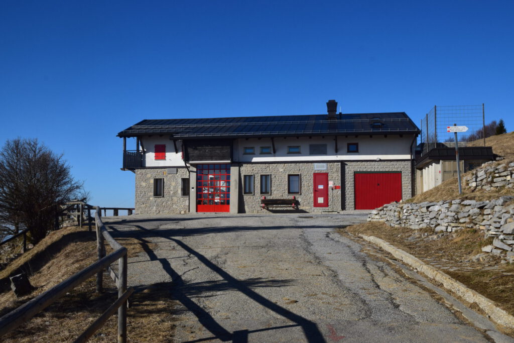
The hard numbers (Cepletischis): 11.8 km – 1084 hm · 9.2% km.
Practical: It is a fairly quiet climb that ends with a narrow strip of asphalt near Rifugio Pelizzo at 1300 meters altitude. From there you have a magnificent view and you can literally look across the border.
Gravel tips: From the top, it's only for the experienced gravelers. You'll find some single-track trails leading to Slovenia, and they're really challenging.
Sella Nevea (Chiusaforte)
It’s not the longest climb, not the highest climb (with only 1200m above sea level as the summit), but you can definitely take a break here. In total, the climb is only 10 kilometers long with an average of just under six percent, but you encounter some steep sections, especially at the beginning. The climb is characterized by beautiful limestone walls and if you go in the fall, you have the chance to see some beautiful colors that you might only expect during an Indian Summer in New England. It’s a relatively unknown pass, so you’ll probably have it to yourself alone. Just like Rigoberto Uran, who was the first to reach the summit in 2013 during the Giro.
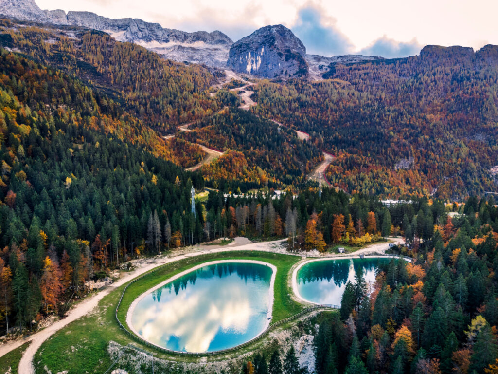
Hard Figures: 10.1 km – 606 hm · 5.9% km (from Chiusaforte)
Combination tip (race): pass to Altopiano del Montasio (short, steep extension) for extra height meters.
Gravel corner: wood/gravel roads in the valleys around the pass; check locally.
Passo di Sella Nevea, Chiusaforte, Italy
• Distance: 10.1 km, Elevation difference: 606 m, Average gradient: 5.9 %
Sella Chianzutan (Tolmezzo)
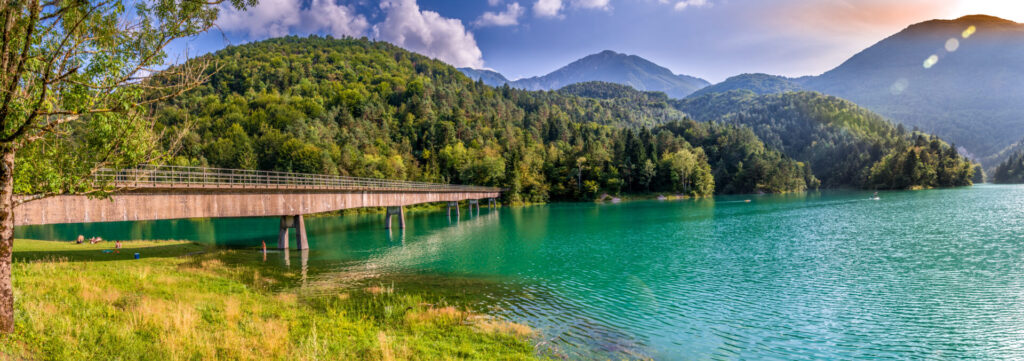
A wonderful warm-up from Tolmezzo. You get the ideal combination of beautiful hairpin bends and also very little traffic. It’s highly recommended to take the path across the bridge from Lago di Verzegnis. The view is fantastic of both the Sella Chianzutan and the other surrounding climbs.
Hard Numbers (for the Tolmezzo side): 9.6km km · 555 hm · 6.1% km.
Gravel tips: You can find beautiful white roads around Verzegnis with the Colle dei Larici as an alternative route.
Sella Chianzutan, Chiaulis, Italy
• Distance: 9.6 km, Elevation difference: 555 m, Average gradient: 6.1 %
Friuli Venezia in a long weekend
If you are considering a nice long weekend cycling in this region, we have created a simple plan for you. If you are in Italy, you really can’t go wrong when you choose a trattoria or a bar for lunch or coffee. In Tolmezzo you will find at least a good pizzeria in ‘Ai Portici‘. For a good Osteria with classic pasta dishes, you go to ‘Ancient Osteria Valle‘. Do you want to pick up something in the morning or something sweet after your ride (or a sandwich): Panificio Pasticceria Pan di Casa.
There are many delicious restaurants around Cividale. If you’re looking for something more upscale (where you can also sleep), then ‘Al Merlo Bianco‘A fantastic option. Here Can you book the hotel.
Quick plan (3 days – race & gravel options)
- Day 1: This is a warm-up day. You have probably already driven for a day. Then you start your adventure in Tolmezzo with the ascent of the Sella Chianzutan and then you take the luss via Verzegnis, with which you will for the first time get acquainted with the area in 60 kilometers and almost 1800 meters of elevation gain. There is also a variant where you get out of the first climb; then you have a real warm-up round of 50 kilometers. Choose a stay nearby like in As soon as you arrive in Tolmezzo.
- Day 2: In this region, you really only have to do one climb. The mighty Monte Zoncolan via Ovaro. You can then descend via Sutrio. After that, you can extend the loop with the Passo Duron. Then you get a real king's road with almost 100 kilometers and 3200 meters of elevation gain.
- Day 3: Exploring the adventure at the Monte Crostis up to Rifugio Chiadinas (on the race bike) or full Panoramic view Be aware of the gravel road surface and watch how the weather develops. After all, you are in the mountains.
Practical tips
- Best starting point: If you really want to tackle the Zoncolan and the Crostis, then you should look for a stay in Ovaro) or in Tolmezzo, as All Benvenuto You can also use the Chianzutan for the other climbs. For example, for the other climbs Ai Casali in the vicinity of Cividale (for example, Matajur) a good option.
- Period: end of May–October; The ascent of Panoramic view At Monte Crostis, the weather is highly seasonal and dependent on the season.
- Material and resistance (racing bike): Although the climbs do not exceed 2,000 meters, you will find plenty of steep sections here, which is why good mountain fitness is recommended. Consider 34×32 or lighter for Zoncolan; pros rode similar distances.
- Safety: It’s still Italy, so road safety is a must. It’s not as crowded here as in other tourist regions. On several climbs, you’ll encounter tunnels like on the Zoncolan. Bringing a flashlight is a no-brainer. Also, always check the weather, because you’re in the Alps after all. .
Questions & tips
Do you have any questions about this route, or have you been there yourself? Share them here. We read everything and usually respond within a few days.