
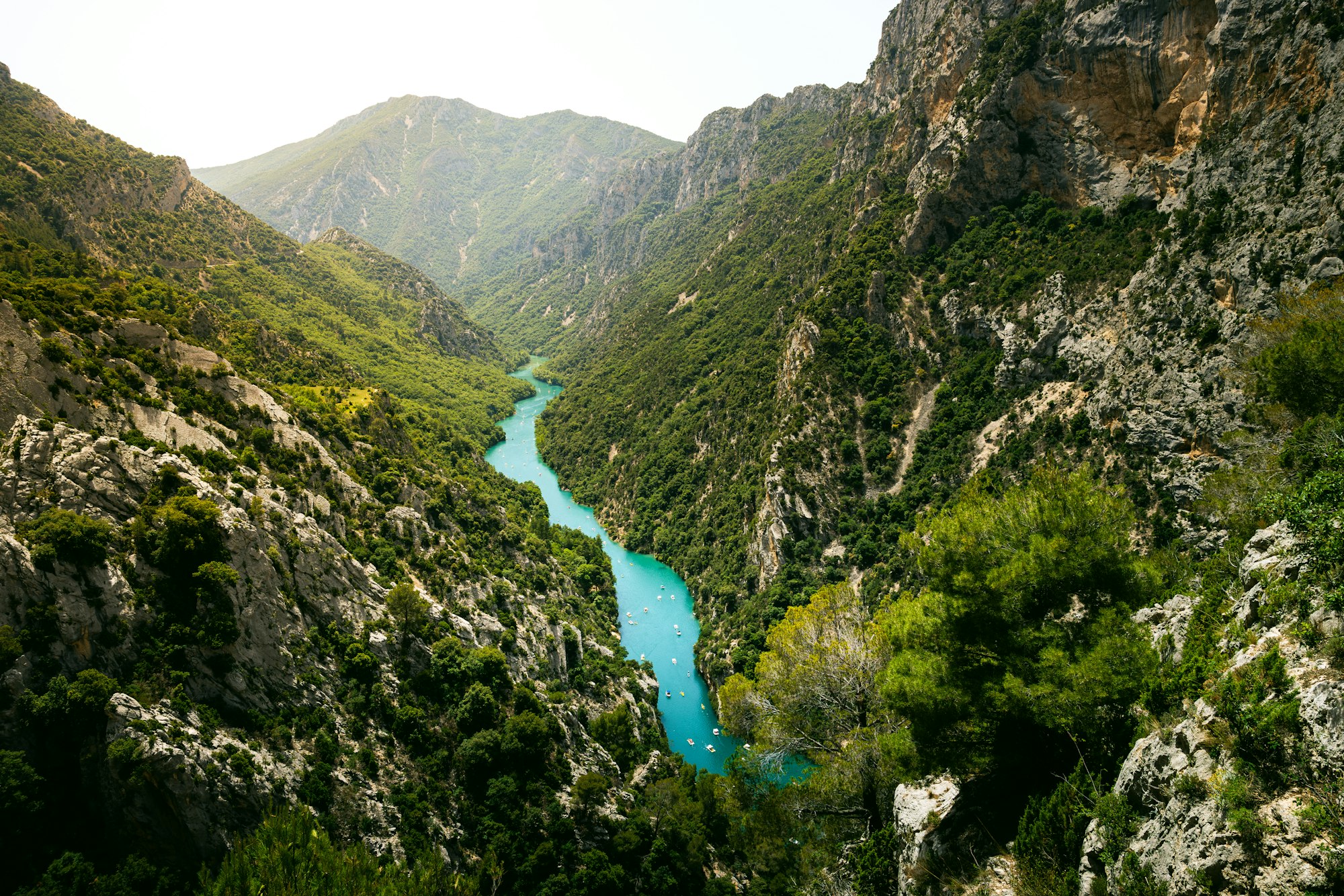
The Gorges du Verdon is a gorge about 25 kilometers long, with limestone walls up to 700 meters above a green river. Hikers and canoeists have known it for a long time. But those who cycle, ride along the edge, and there lie some of the most beautiful roads in Provence. The Verdon Tourisme tourist office has put 24 cycling routes online. We chose six of them, plus our own route around Lac de Sainte-Croix.
Cycling around the Gorges du Verdon
1. Route des Crêtes: stopping fourteen times
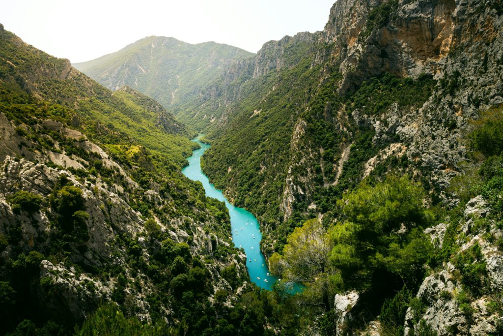
This is the route that everyone comes to. The D23 starts about 800 meters outside La Palud-sur-Verdon, towards Rougon, and then follows the northern edge of the gorge. Along the way you pass through fourteen lookout points, including the Carelle, l’Escalès, and the Dent d’Aire. According to Verdon Tourisme, the loop is 23 kilometers long and has 655 meters of elevation gain, and the highest point is at 1,328 meters. Be prepared for more than three hours, because you keep getting off to look around. With a little luck, you might see eagles circling above the gorge, and climbers on the wall below you.
Please note: between Jas d’Aire and La Maline the road is one-way, so you drive in a clockwise direction. That section is closed from late November to late March. We have also provided the route as a GPX file: The Route des Crêtes in the Gorges du Verdon.
2. Grand Canyon loop from Moustiers
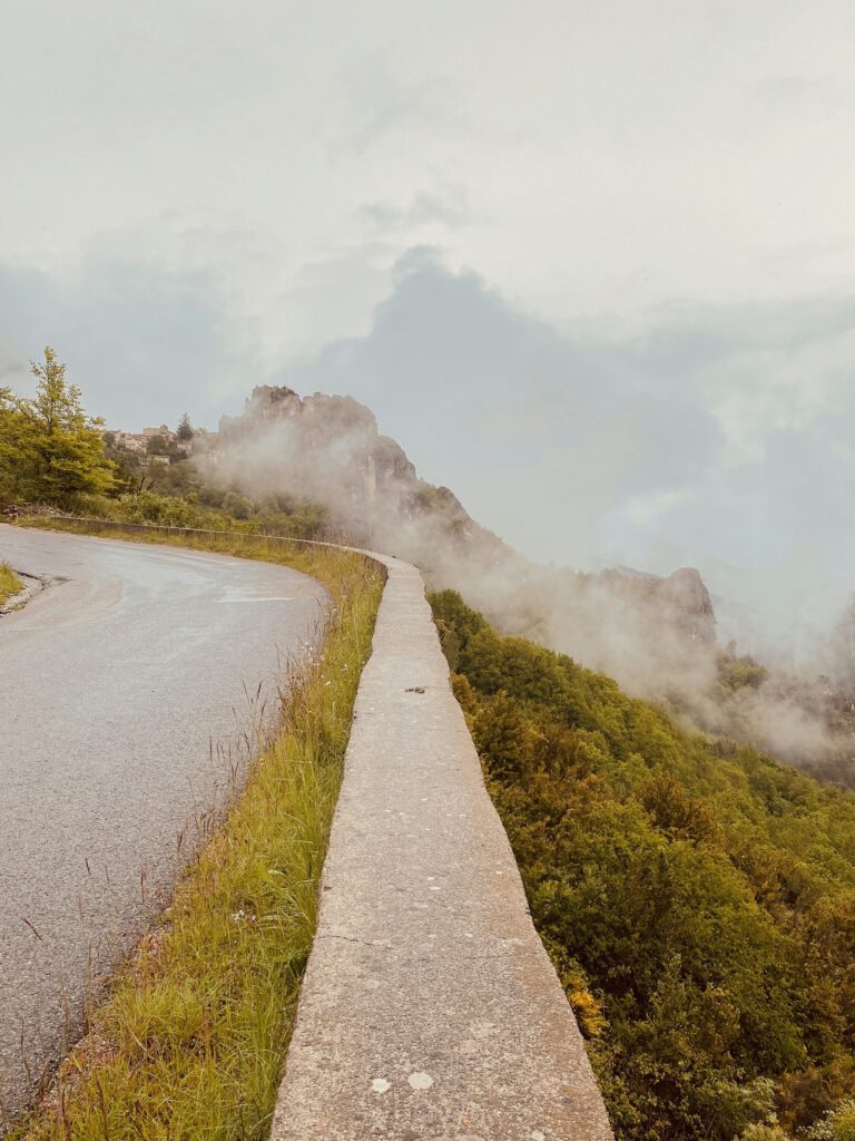
If you want to complete the Route des Crêtes in a longer day, start in Moustiers-Sainte-Marie, the pottery village against the rocks. You climb above Lac de Sainte-Croix, with the plateau of Valensole behind you, over the Col de l’Olivier (718 m) and the Col d’Ayen (1,033 m) to La Palud. From there, you cycle the Route des Crêtes and return to Moustiers via the same village. A total of 60 kilometers and 1,355 meters of elevation gain, about four hours of cycling. Verdon Tourisme recommends riding this route outside the summer because it is too crowded on the road.
3. Corniche Sublime: the entire canyon around
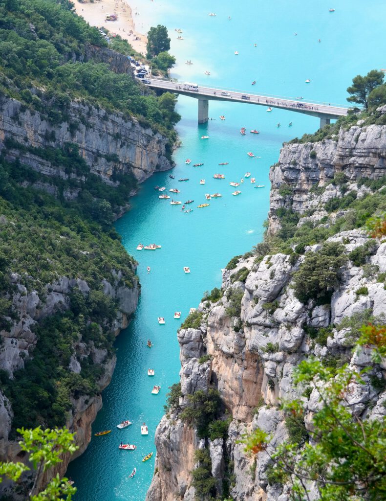
The toughest of the bunch, and for us the most beautiful. From La Palud, you drive clockwise around the gorge: first along the north side to Point Sublime, then across the south rim via Trigance and Aiguines. You pass the Mescla, where the Artuby flows into the Verdon, the high bridge over the Artuby, the tunnels of Le Fayet, the rock wall of Les Cavaliers, and the Col d’Illoire. At the Pont du Galetas, you see the gorge open into the turquoise Lac de Sainte-Croix. That is 83 kilometers and 2,363 meters of elevation gain, and the tourist office estimates six hours.
The hardest part comes at the end: the climb from the Saint-Clair roundabout back to La Palud. Bring plenty of water; the tourist office says three liters per person, and there are few places to fill up along the way. If you still have energy left, take the Route des Crêtes on another day.
4. Vallée de la Baou: short but sturdy
If you only have one morning, this 22.2-kilometer loop from La Palud is a good choice. You drive over the D123 and the D17 past the gorge, with two short climbs, and you end up at Point Sublime after the turn to Rougon (after 14.7 km). From there, you look down into the gorge, right where it begins. On the D952, you drive back to La Palud. Verdon Tourisme calls this route difficult, despite the short distance.
5. Castellane and the lakes of Chaudanne and Castillon
Castellane is located on the eastern side of the gorge, under a rock with a chapel on it, and along the Route Napoléon. From the Place Marcel Sauvaire, the Boucle des Belvédères du Verdon departs: 57 kilometers and 1,290 meters of elevation gain along the dam of Chaudanne, via Brenon and Châteauvieux, with views of the Lac de Chaudanne and the Lac de Castillon. The highest point is at 1,152 meters. There is little traffic, especially outside of July and August. There is also a second loop of 57 kilometers with 1,040 meters of elevation gain, along the same lakes, the Pays de Castellane route.
Castellane is also a good base if you want to explore the Provence For further exploration: Grasse and Sisteron are both located along the Route Napoléon.
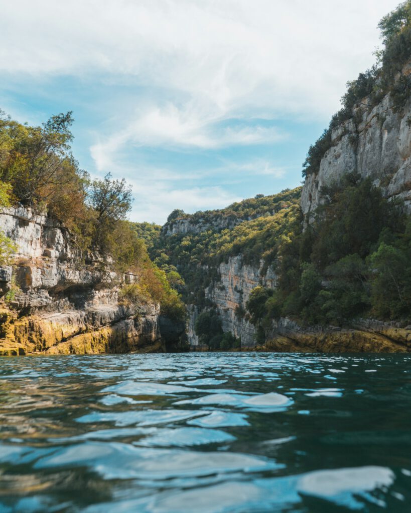
6. Tour around Lake Sainte-Croix
Need a quieter day? Our own tour of Lac de Sainte-Croix Start in Les Salles-sur-Verdon and go via Bauduen and Montagnac to Moustiers-Sainte-Marie. It is wavy, with always views of the lake, and you can swim halfway through.
7. Higher up: the Col d’Allos and the source of the Verdon
The Verdon starts high in the Alps, near Allos. There you find a completely different landscape: larch forests and real cols. From Allos it is a 15-kilometer climb to the Col d’Allos at 2,247 meters, averaging 4.5 to 6.3 percent with sections of 8 to 11 percent. On the other hand, you descend to Barcelonnette, the base for the Col de la Bonette. From Colmars-les-Alpes you can ride the three passes of the High Verdon in one round: Col des Champs, Col de la Cayolle and Col d’Allos. The high passes are closed in winter, so go between June and the end of September and check beforehand whether the pass is open.
Practical
- When: Spring (April to June) and September and October are the best times. In July and August, the road around the canyon is busy with cars, campers and buses, and often hot. According to the tourist office, the Route des Crêtes is open from the end of March to the end of November.
- Where to sleep: La Palud-sur-Verdon is located right between the routes and is the most convenient. Moustiers-Sainte-Marie is more beautiful but busier. Castellane is a good base for the eastern side.
- Water: Outside the villages there are few places to fill up with water. Take two water bottles with you, and in the summer more.
- GPX: All routes in this article are available as GPX files. the website of Verdon Tourism. There are also e-bike versions of the Route des Crêtes and the cols.
- Combine: the Mont Ventoux It is located more than two hours away by car. Together with the Verdon, you will have a wonderful week in Provence.


Questions & tips
Do you have any questions about this route, or have you been there yourself? Share them here. We read everything and usually respond within a few days.