Part of Switzerland
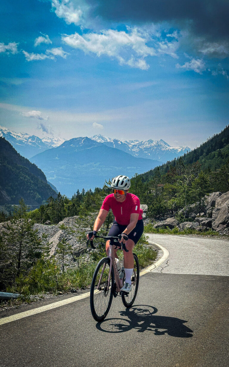
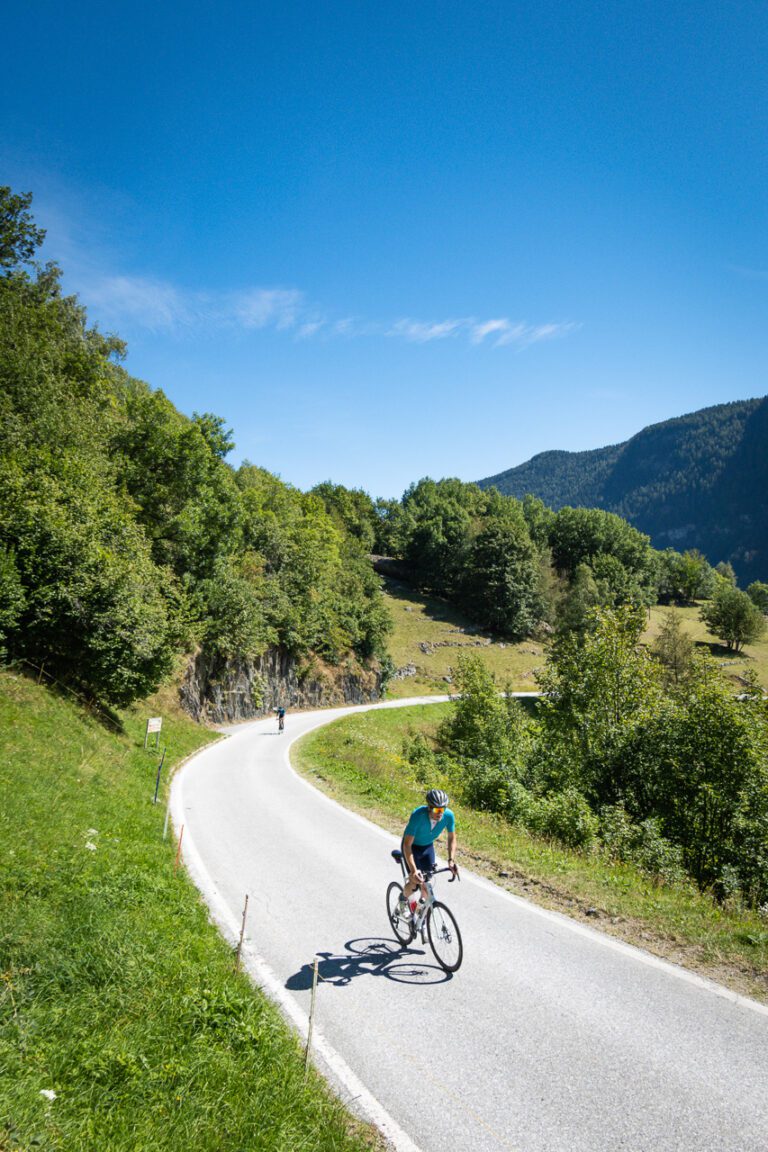
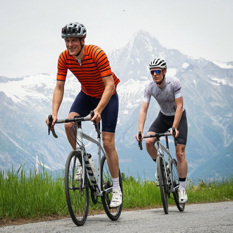
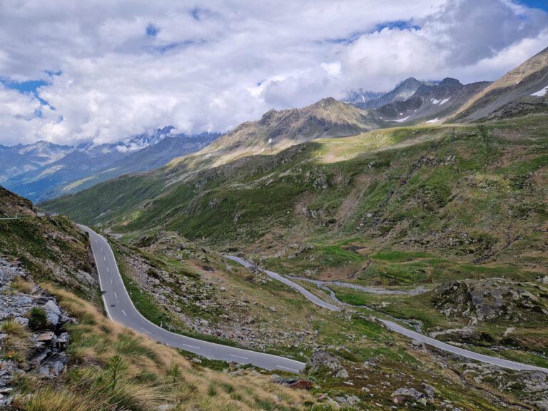
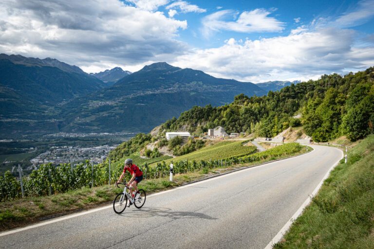
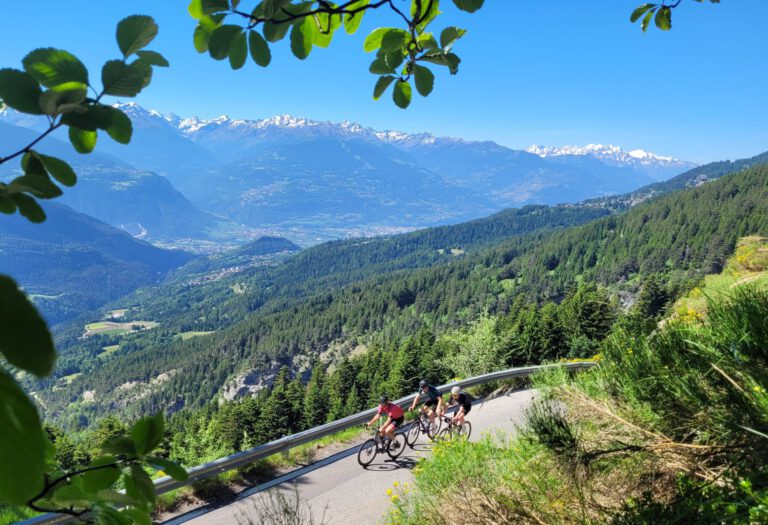
Valais (in German Wallis) is the canton of superlatives. Of the 82 Alpine peaks above 4,000 meters, 45 of them are here. The Rhônedal cuts through it like a deep ravine, from the Rhônegletsjer near the Furkapass to Lake Geneva. From that valley, dozens of paths climb up on both sides: to mountain passes, to villages between the vineyards and especially to dams. We return to it every year since 2020, and every year we find a new climb that surprises us.
Why cycle in Valais?
- Climbing without the crowds. Many roads in the side valleys end in a dam or an alpine meadow. As a result, there is little regular traffic and you often have to drive up the hill alone.
- Sun. Valais is one of the driest and sunniest regions in Switzerland. In the valley, temperatures can reach 30 degrees Celsius in the summer, and it’s cool above 2,000 meters.
- Good signage. Former pro Steve Morabito made sure that many climbing signs have the length and steepness of the next kilometer. Sometimes painful to read, always useful.
- Everything is accessible by train. From Brig to Martigny, the train travels through the valley, and many villages are served by a bus or cable car where you can ride your bike.
Valais Tourism bundles the offer in the Valais Vélo TourTen stages through the entire canton, twenty ‘legendary cols’ (seven of which are over 2,000 meters high) and the Trophée des Barrages, with eight dams that can be reached by bike at altitudes between 1,483 and 2,364 meters.
The hydroelectric dams
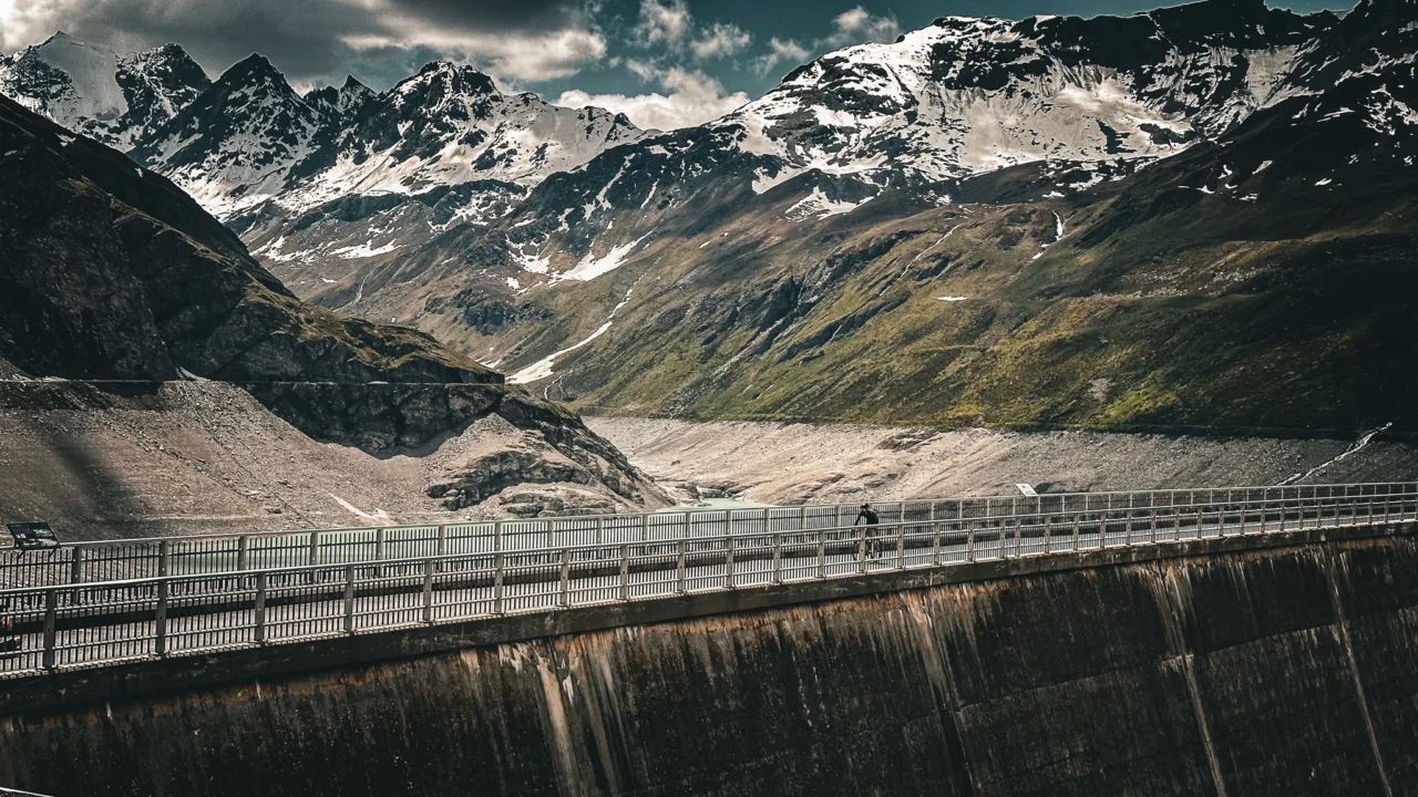
If there is one thing that makes Valais unique, it is the barrages. A climb to a dam has something special: you literally drive towards a wall, and above you a clear blue lake lies between the mountains. These are the dams that we have driven through:
- Barrage d’Emosson. For us, the most beautiful of all. From Le Châtelard, according to Valais Tourisme, you climb 10.9 kilometers and 902 meters of altitude to the Col de la Gueulaz, near the dam. From above, you have a direct view of Mont Blanc. In 2016, a stage of the Tour de France ended here. If you want to go even higher, a narrow path leads to the Lac du Vieux Emosson, with a final stretch of 1.5 kilometers at 15 percent. Read our story about Emosson.
- Barrage de la Grande Dixence (Lake of Dix). A steep climb of about 25 kilometers from the vicinity of Sion, via Vex and Hérémence. The danger lies in the tail: the final four kilometers are hairpin turns with peaks of up to 15 percent. The dam itself is 285 meters high, the highest gravity dam in the world. Read the story.
- Barrage de Moiry. From Sierre, through the Val d’Anniviers, via Vissoie and Grimentz, to 2,250 meters. The last seven kilometers from Grimentz run at an average of eight to nine percent. Read the story.
- Lake of Tseuzier. The ‘getting to know each other climb’ above Ayent: a little over 13 kilometers long, narrow, irregular, and with tunnels just before the summit. The dam is one of the longest in Switzerland.
- I would like to. Just before Verbier, you climb about 1,100 meters in 15 kilometers to the dam, with a view of the Grand Combin (4,314 meters).
Dents du Midi and the Chablais
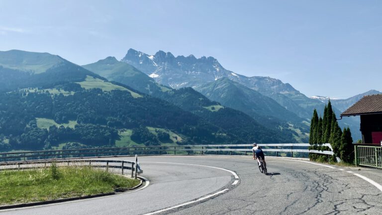
In the west of Valais, between Monthey and the French border, lie the jagged Dents du Midi. Steve Morabito lives here, and you can feel it. Our tour from Val d’Illiez began with the Pas de Morgins to the French border: according to Valais Tourisme 19.8 kilometers and 990 meters of elevation gain from Monthey, over asphalt that the Tour de France had just received in 2022. Then came the brutal climb to Les Giettes via Vérossaz, with three kilometers in double digits and views of Lake Geneva. A region with cowbells, steep country roads, and few tourists. Read our story about the Dents du Midi.
Martigny: Forclaz, Emosson and the Grand-Saint-Bernard
Martigny, in the crook of the Rhone valley, was supposed to host the cycling World Championships in 2020. The course is still there: the Col de la Petite Forclaz (over four kilometers at almost ten percent) right above the city, the Col de la Forclaz towards France, and the climb to Emosson. Going south begins with the Col du Grand-Saint-Bernard, with 40.9 kilometers and 1,968 meters of elevation gain from Martigny, making it the longest climb in Switzerland. Only after the last seven kilometers past the tunnel does the climb really get steep, and above that lies the historic hospice on the border with Italy. Read our story about the Grand-Saint-Bernard.
Sion and Crans-Montana: Sanetsch and the midfield
Around Sion are the climbs that we have done the most often. The Col du Sanetsch is for us the most beautiful climb in Switzerland: 25.1 kilometers with 1,733 meters of elevation gain, from the vineyards to above the tree line at 2,247 meters, with an unlit tunnel at 2,000 meters (flashlight included!). Above, you can take the cable car to Gsteig near Gstaad and return via Aigle. Also Thyon 2000, the Lac de Derborence and the climb to Anzère are here. Crans-Montana, on the sun terrace above Sierre, is the ideal base for this part: see our page about Crans-Montana.
Brig and the Oberwallis: Moosalp, Furka and Grimsel
In the German-speaking east, around Brig and Visp, the big passes are located. From Brig we climbed the climb to the Moosalp via Turtmann: according to Valais Tourisme 24.3 kilometers and 1,509 meters of elevation gain, in two steep sections with a rest at Unterbach. Above 2,048 meters, the mountain restaurant serves a traditional raclette, and opposite you are the Dom and the other 4,000-meter peaks of the Mischabel. The descent is narrow, with a postbox that leaves little space: take it slow. Read our story about the Moosalp.
Further east, in Goms, are the Furkapass with the famous Hotel Belvédère, the Grimsel Pass and the Nufenen Pass. From Oberwald, you drive over the Furka for 10.2 kilometers at an average of 6.3 percent, in an arena of hairpin bends. Read our story about the Furkapass.
Also for gravel and mountain bikes
Valais is also an off-road destination. Verbier has one of the best bike parks in the Alps and about 180 kilometers of enduro trails. In Crans-Montana, the cross-country races of the World Mountain Bike Championships were held in 2025, and with the Valais Epic Gravel, there is a multi-day gravel route through the side valleys. Read our story about Verbier.
Climber map: the most important climbs
On this map you can see the most important ascents in the area. Click on a point for the altitude and the climb figures. The yellow points have a GPX route attached.
When are you leaving?
June and September are ideal. The high passes usually open in June; in July and August it is hot in the valley and it can be too cold above.
The climbing season runs from mid-June to the end of September. Many passes above 2,000 meters only open in June; check in advance on alpen-paesse.ch to see if they are open. In the Rhone Valley you can cycle as early as April. In the summer, keep in mind the heat in the valley (we cycled there at 36 degrees) and the thunderstorms on the peaks in the afternoon. So start early.
How do you get there?
- Car: From the center of the Netherlands it is about 900 to 950 kilometers, via Basel and Bern or via Geneva. Calculate including breaks of eleven to twelve hours. Don’t forget the Swiss vignette.
- Train: Take the ICE to Basel and then via Bern to Visp, Sierre or Sion. It is possible to bring a bicycle on Swiss trains, but reserve a seat.
- Aircraft: Fly to Geneva; the train travels in one go to Martigny, Sion and Sierre.
This is how we calculate: We calculate distances and travel times starting from Utrecht. Our flights always depart from Schiphol, Rotterdam The Hague Airport or Eindhoven Airport. Want to know how to travel from your place of residence the best way? Let us know, We are happy to help you. After all, we built this site together.
Are you flying? Read our guide Flying with your bike: Which airline, what the cost is and how to pack your bike.
From our stories
- Col du Sanetsch: the best kept secret in Valais
- Cycling in Valais: Anzère
- The most beautiful climbs in the Swiss Alps and where you set up your base camp
- 5x beautiful dead-end climbing trails in Switzerland
Areas