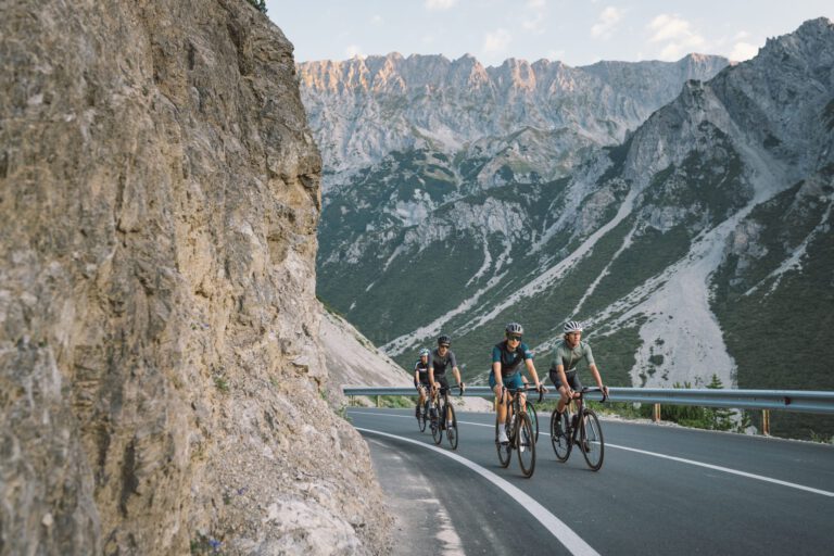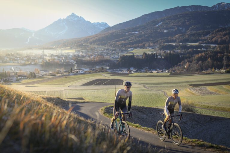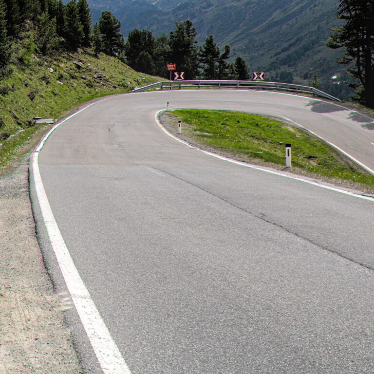
The Ötztal is the longest side valley of the Inndal in Tyrol: about 65 kilometers from Oetz to above Sölden, and then the road goes even higher to the Timmelsjoch on the border with Italy. It is a valley of extremes: glaciers and peaks above 3,000 meters, and roads that take you even higher than almost anywhere else in the Alps.
For cyclists, the Ötztal is best known for the Ötztaler Radmarathon, one of the toughest one-day races in Europe. But even without a starting number, you can climb here for a week until your legs give out.
Why cycle in the Ötztal?
- The Timmelsjoch (2,474 m): the Hochalpenstraße from Obergurgl to South Tyrol, with a long climb from Sölden on the Austrian side.
- The Kühtai (2,017 m): the highest ski resort in Austria, accessible from Oetz and from the Sellraintal valley.
- Glacier trails above SöldenThe road to the Rettenbach and Tiefenbach glaciers is one of the highest paved roads in Europe.
- The Ötztal Radmarathon227 kilometers and about 5,500 meters of elevation gain over Kühtai, the Brenner Pass, the Jaufen Pass and the Timmelsjoch.
The climbs
- Timmelsjoch from Sölden: via Zwieselstein and Obergurgl to the top, over 1,100 meters in altitude. It is a toll road; before you go, check what cyclists have to pay and whether the road is open.
- Kühtai from Oetz: From the entrance of the valley, it climbs steeply through the forest and past Ochsengarten, over 1,200 meters in altitude.
- Glacier road Sölden: only for the real climbers; above 2,500 meters the air is thin.
The Ötztal Radmarathon
On Sunday 29 August 2027, the next Ötztal Radmarathon will take place, starting and finishing in Sölden. The starting points will be drawn at random; registration will open well in advance. If you want to explore the route, ride the Timmelsjoch or Kühtai in the days before the race, but save your energy.
Three rides to get you started
- Timmelsjoch from SöldenReturn trip, about 47 kilometers and almost 1,500 meters of elevation gain.
- Kühtai from OetzReturn trip, about 37 kilometers and 1,300 meters of elevation gain.
- Through the valley: a leisurely ride from Sölden to Oetz and back, for a day of rest between the climbs.
The first two routes are listed with GPX at the bottom of this page.
When are you leaving?
The Timmelsjoch is usually open from the end of May or June until October, only during the day. Kühtai is accessible all year round. July and August are the warmest months, but above 2,000 meters it can always be cold. In the summer, thunderstorms often form in the afternoon: climb in the morning.
How do you get there?
By car you drive from Utrecht in about nine hours to Oetz. With the night train you reach Innsbruck and from there you take the train to Ötztal-Bahnhof and the bus into the valley.
This is how we calculate: We calculate distances and travel times starting from Utrecht. Our flights always depart from Schiphol, Rotterdam The Hague Airport or Eindhoven Airport. Want to know how to travel from your place of residence the best way? Let us know, We are happy to help you. After all, we built this site together.
Are you flying? Read our guide Flying with your bike: Which airline, what the cost is and how to pack your bike.
Where to stay?
Sölden is the largest town and is located at the foot of the Timmelsjoch. Oetz and Umhausen are quieter and closer to Kühtai. In summer, many ski hotels have lower prices than in winter.
See places to stay in: Sölden · Oetz · Umhausen
For whom is the Ötztal?
For climbers who want to climb high and want to prepare for a long tour. The climbs are long and the valley itself is quite steep, so a leisurely ride simply doesn't exist here.