Part of Austria
Vorarlberg in a nutshell
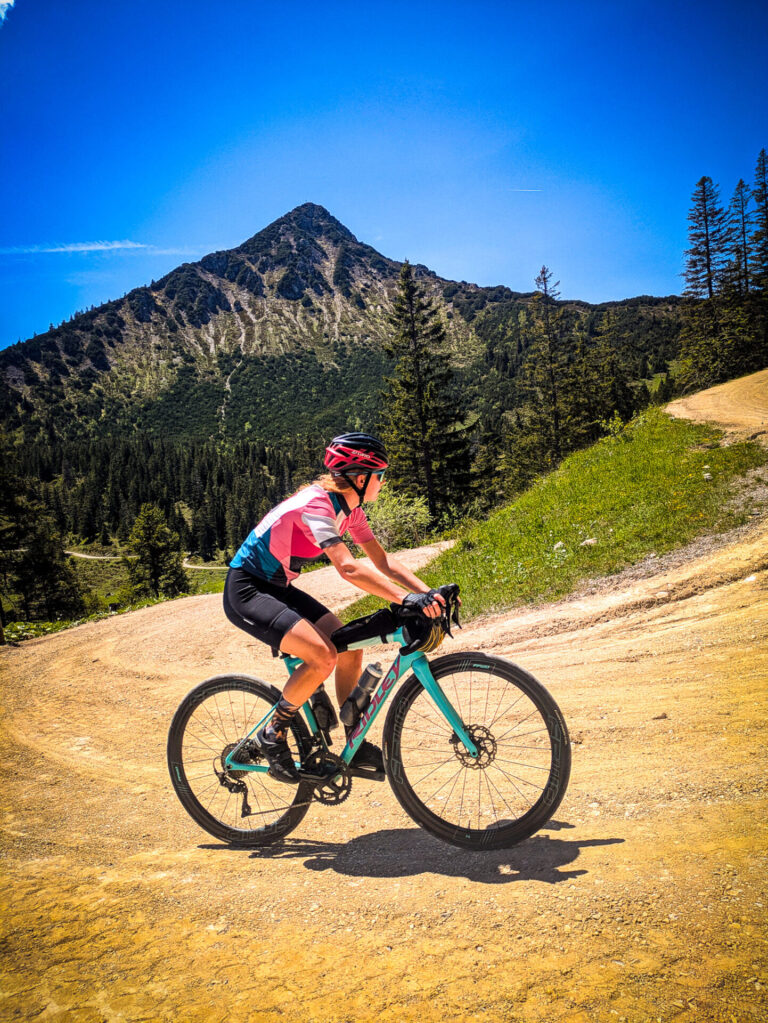
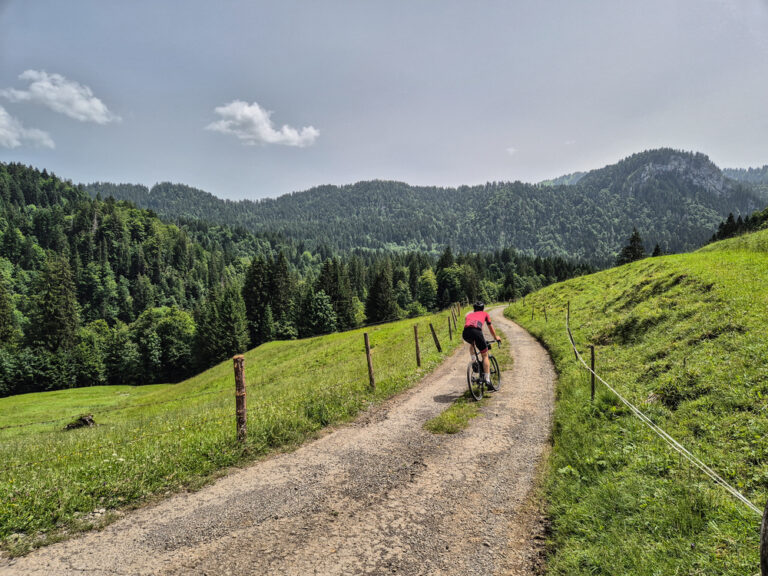
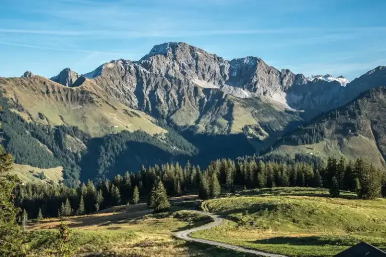
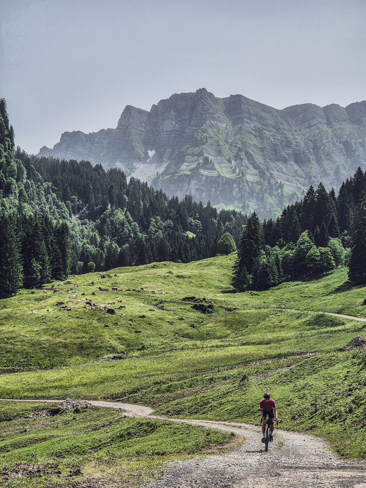
The Vorarlberg region is located at the westernmost point of Austria. It borders Liechtenstein, Switzerland, and Germany. The region also borders Lake Constance, which is well known to many. It is a popular ski destination, which makes it very suitable for hiking in the summer as well. The Vorarlberg region is sometimes forgotten in the Austrian countryside, because Tyrol, Salzburgerland, and other larger regions dominate. But this region, located close to the Netherlands and Belgium, is perfect for a midweek or longer cycling trip. And if you’re smart, you can also take in some of the surrounding regions as well. Why bother? Vorarlberg as a ‘gateway to the alps’.
Best for this type of bike: Race bike – Gravel bike – MTB
What adventure would you like to plan?
If you are considering a cycling adventure in Vorarlberg, there are many beautiful options and routes to choose from. You can choose from various starting points. Of course, Landal Brandnertal (where we were in spring 2025) but also in Mellau, Bludenz, Bregenz or, for example, the beautiful AlpenHotel Montafon located on the Silvretta strasse.
- Routes and more: plan a wonderful long weekend or a week in this region. There are many beautiful routes of 50–120 km / 1,500–3,000 hm per day, so you won’t have to get bored.
- Gravel Austria Bikepacking: The region offers perfect options for bike touring and if you take the gravel austria bikepacking route (a gravel route through all of Austria), you can cover the entire region in 3–5 days, 70–110 km & 1,500–2,500 hm/day (road & gravel mix).
- What is the ideal season? Although you can already cycle in April and May, the best season is from June to September in the mountains; from April to October you can get around the Bodensee and the routes in the valley quite easily.
- Heat and cold: In the summer, the Rijn Valley (Bregenz/Dornbirn) can get quite warm, especially in July–August; keep an eye out for thunderstorms in the mountains during the afternoon. Therefore, starting early pays off. In the autumn, it gets cold quickly and it can snow on the mountain peaks. Winter is for the real ice rabbits.
- Popular climbs and Alpine passes: Furkajoch/Hochtannberg/Faschina normally open late spring–fall; Silvretta Hochalpenstraße: this remains closed in 2025 due to rockfall risk; alternative access to the Bielerhöhe via Vermuntbahn/tunnelbus (from August). Check current notifications. The climb to Brandnertal may also be possible.
Vorarlberg is very accessible by all kinds of means of transport. We’ve put together a few handy options for you.
- By train: Amsterdam -> Zurich > Bludenz or alternatively Amsterdam > Frankfurt > Stuttgart > Memmingen > Bregenz. Bike space requires reservation on long-distance trains (RJ/EC/ICE/NJ). Buy a bike ticket + reservation via ÖBB on local trains or via NS International for international travel. Train journey takes about 10 hours.
- By car: Vignette for Austrian motorways mandatory (digital vignettes available; A14 Rheintalautobahn to Bregenz/Bludenz).
- By ferry (convenient around Lake Constance): If you are already on a cycling trip, for example towards Lake Constance, or in Switzerland, you can take the ferry across a stretch of water towards Bregenz. Cycling is permitted on most ferries (e.g. Friedrichshafen–Romanshorn, combitickets). bodensee-ticket.com
- By plane: Of course you can also fly. We don't necessarily recommend it, but if you want to, Zurich (ZRH ~120 km) or Munich (MUC) is the closest. visitbregenz.com
Why you should go cycling in Vorarlberg
- Beautiful climbs that are reasonably close together: Furkajoch, Faschinajoch, Bödele/Losenpass, Hochtannberg – all on smooth asphalt, with steep slopes and a wide variety of terrain.
- Compact and diverse: In one long weekend you can drive around Lake Constance, or the Bregenzerwald and Montafon, with clearly defined routes.
- Races you can choose to participate in or watch: The Highlander Radmarathon and stages of the Tour of Austria use Furkajoch/Faschina and finish in places like Feldkirch.
- Gravel potential: Official gravel routes in Brandnertal/Bregenzerwald + multi-day gravel tour through the entire region. Also check out our articles about the gravel rides around Brandnertal and IntotheWold
- MTB playground: Bikepark Brandnertal (open in summer 2025, with construction restrictions) + large network in the Bregenzerwald/Montafon area. Bikepark Brandnertal
Popular cycling destinations in Vorarlberg
The Bregenzerwald is increasingly developing into the top cycling destination in Vorarlberg. It is one of the most beautiful places to go gravel biking. The ‘intothewold’ event, among others, brings you the most beautiful gravel routes. There is plenty to do around Mellau. Most of the villages in the Bregenzerwald are located in the valley and therefore form the perfect base for the surrounding area. The Mellental valley is beautiful to cycle in and further in the forest you can find, among others, the climb to the Stogger Sattel with beautiful views of the surrounding area. The climb to Kaltenbrunnen is also worth doing.
For the mountain bikers, the climb to Hochtannstrasse is a real treat. If you go a little further, you’ll reach the posh Lech am Arlberg, where the royal family likes to go skiing. You’ll also find beautiful routes north of Mellau, with trails that you’ll want to return to time and again.
The Silvretta Hochalpenstrasse is a well-known or even notorious long climb. It is one with a series of hairpin bends that are super photogenic. That alone is reason enough to go there. But the rest of the area, including the Biehlerhohe and the Brandnertal, are also worth considering. In the Brandnertal you will find beautiful gravel routes, but the climb through the Brandnertal to the parking lot from Bludenz is a delight.
Your Cycling base
Vorarlberg is small but diverse. These are good starting points:
- Bregenz: on the Bodensee, with the ring road around the lake and the Bregenzerwald in the hinterland.
- Bludenz or the Montafon: for the Silvretta-Hochalpenstraße and the valleys towards Tyrol.
- Lech of WarthHigh in the mountains, near the Flexenpass, the Hochtannberg and the Arlberg.
When are you leaving?
Events in Vorarlberg
How do you get there?
- Flying: Fly to Friedrichshafen · Zurich. Bring your own bike; then book a place for your bike box in time.
- By train: Easy to do. Convenient stations: Bregenz · Feldkirch · Bludenz.
- By car: From Utrecht you are there in about 9 hours. Vorarlberg.
This is how we calculate: We calculate distances and travel times starting from Utrecht. Our flights always depart from Schiphol, Rotterdam The Hague Airport or Eindhoven Airport. Want to know how to travel from your place of residence the best way? Let us know, We are happy to help you. After all, we built this site together.
Are you flying? Read our guide Flying with your bike: Which airline, what the cost is and how to pack your bike.