Part of Germany › North Rhine-Westphalia
The Bergisches Land lies between the Rhine, the Ruhr and the Sieg, east of Düsseldorf and Cologne. It is a hilly region full of deep valleys, streams, reservoirs and forests, with stone-built villages and green shutters. For cyclists, this means one thing above all: short, steep climbs, one after the other.
From Arnhem or Venlo, you are there within two hours. This makes it one of the closest real climbing areas for Dutch people, and a beloved training spot for riders from Cologne and Düsseldorf.
Why cycle in the Bergisches Land?
- Short steep climbs: hills of a few kilometers with sections of more than ten percent, just like in the Ardennes.
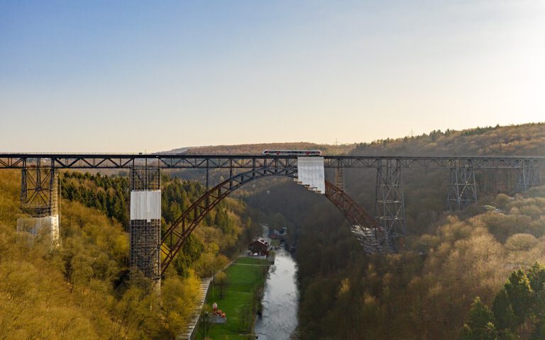
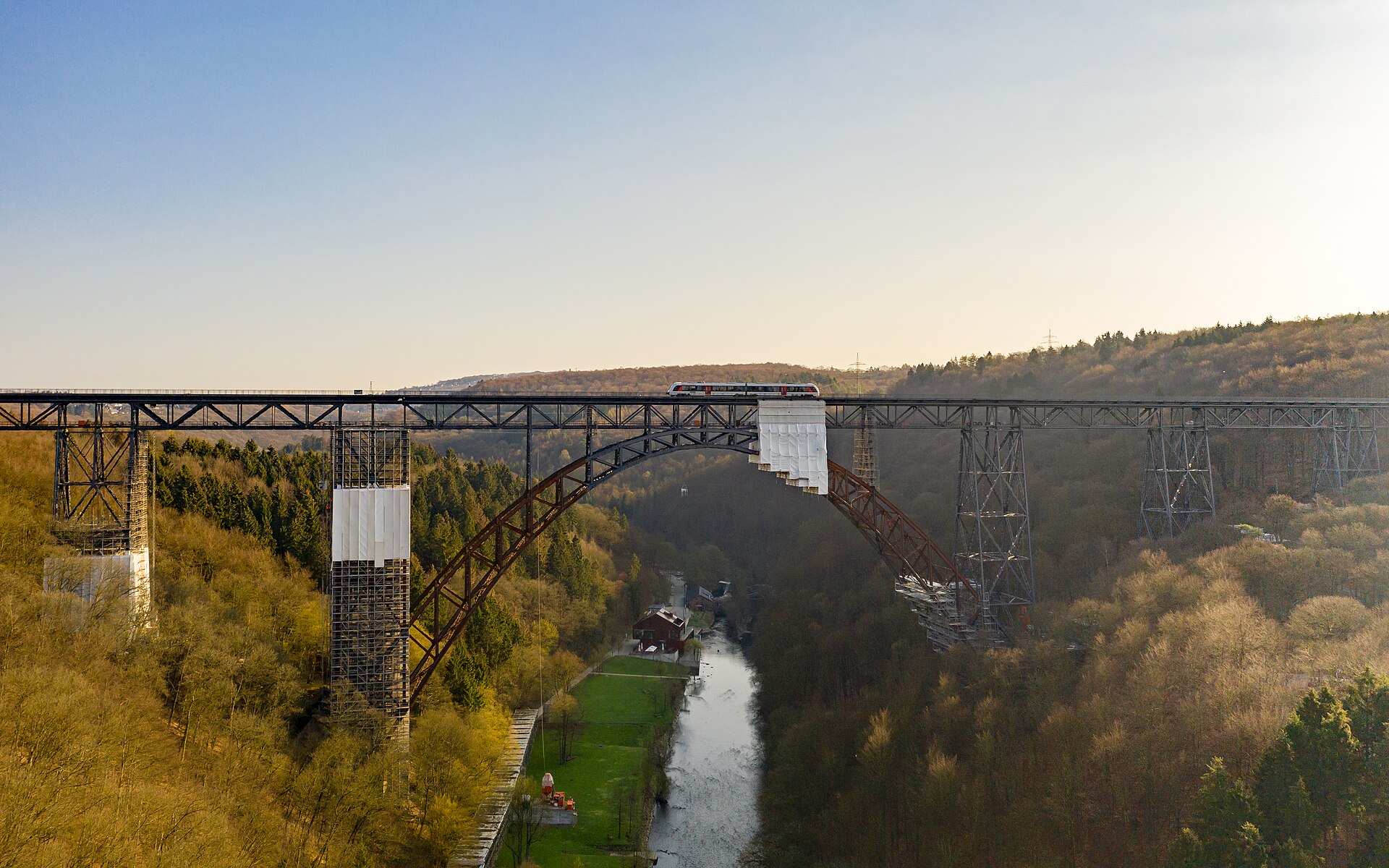
- The Müngstener Brücke: the highest railway bridge in Germany, over a hundred meters above the valley of the Wupper.
- Schloss Burg and the Altenberg Cathedral: a medieval fortress above the Wupper and a Gothic cathedral in the middle of the forest.
- Railway tracks: Old railway lines such as the Nordbahntrasse in Wuppertal and the Balkantrasse are now flat bike paths.
Road bike, touring and gravel
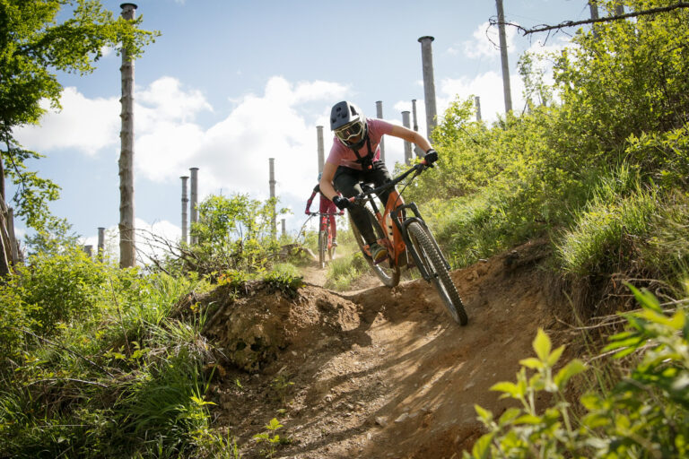
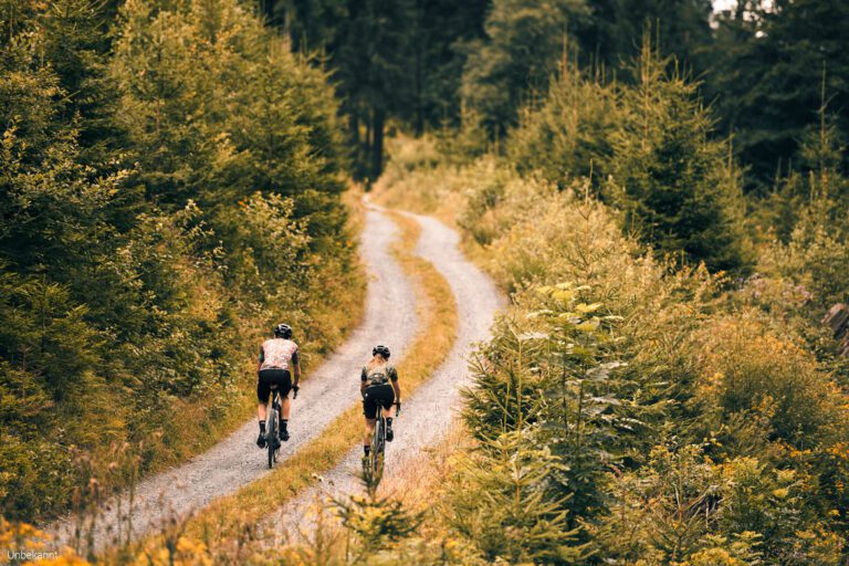
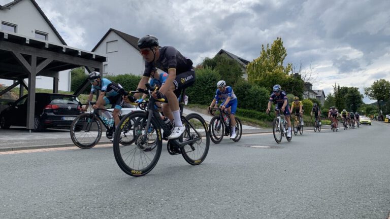
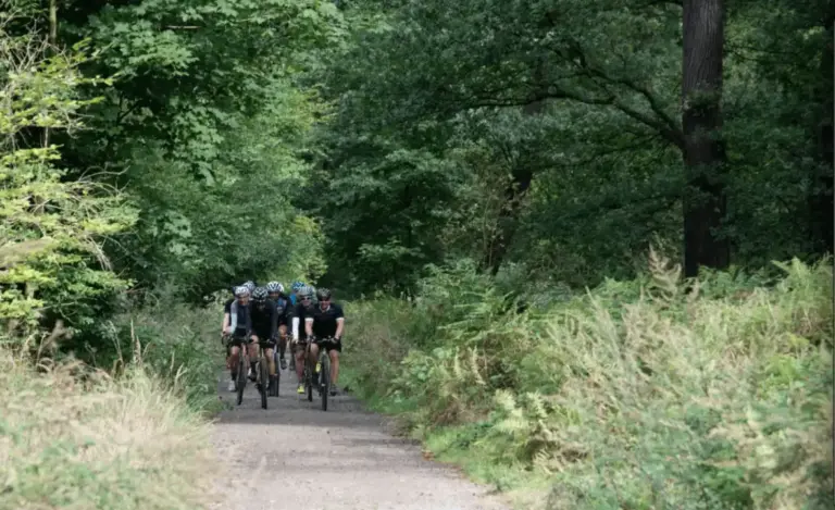
With the race bike you ride over narrow roads through the valleys and climb up again to the high plateau. The professional race Rund um Köln runs through the Bergisches Land every year. Road cyclists ride right over the railway tracks, and with the gravity bike you can find plenty of forest trails around the reservoirs.
Three rides to get you started
- Solingen – Müngsten – AltenbergAlong Schloss Burg, the Müngstener Brücke and the Altenberger Dom, approximately 62 kilometers and 1,000 meters in altitude.
- The Balkantrasse: right above an old railway line from Leverkusen to Remscheid.
- Around the damsalong the Dhünn and Wuppertal barriers.
The first route is shown with GPX at the bottom of this page.
When are you leaving?
From March to October. In the spring it is a good training for the classics; in the autumn the forests are beautiful in color. In the winter the roads in the valleys are often wet and slippery.
How do you get there?
By car, you can get from Arnhem or Venlo to Solingen or Wuppertal in about an hour and a half to two hours. By train, you travel via Düsseldorf or Cologne to Solingen, Wuppertal, or Remscheid.
This is how we calculate: We calculate distances and travel times starting from Utrecht. Our flights always depart from Schiphol, Rotterdam The Hague Airport or Eindhoven Airport. Want to know how to travel from your place of residence the best way? Let us know, We are happy to help you. After all, we built this site together.
Are you flying? Read our guide Flying with your bike: Which airline, what the cost is and how to pack your bike.
Where to stay?
Solingen and Wuppertal are convenient cities with plenty of hotels. You’ll find a quieter place in a village like Burg an der Wupper or Odenthal, near the Altenberg Cathedral.
For whom is the Bergisches Land?
For road cyclists who enjoy short, steep climbs and don't want to drive far. Also a great alternative for those who already know the Ardennes or South Limburg.